Observation Peak
July 26, 2026
3174m
Icefield Parkway, AB
Observation Peak is one of the taller scrambles on the east side of Icefield Parkway but this one doesn’t require a lot of effort. The route starts from Bow Summit so the elevation gain was only 1100 m or so, and the scrambling was at most “class 2”. Despite the lack of technical difficulty this is still a “slog” as the route is significantly foreshortened. The peak doesn’t appear much from the highway but it’s farther back than you think. This objective boasts over 600 m prominence so it was on the priority list whenever I came back to the Rockies for some scrambles. The main purpose in this trip was not “scrambling” but I might as well tick off a few after completing the climbing objectives. Earlier in the day I scrambled The Wedge with Sophia from Calgary but that one wouldn’t fill in the day. Instead of starting the long drive homewards I decided at the very last minute to add another scramble into the itinerary. The primary reason was actually the “free pass”. I had refused to purchase the park’s pass for a number of years but then it’d be hard to get on the Parkway. Fortunately the parks waived that fee for the summer of 2026 so I might as well take advantage of that.
I debated about Mt. Jimmy Simpson, Bow Peak or Observation Peak and in the end I picked the one with the most amount of prominence. As usual I did no research and would completely rely on my own experience and the Gaia GPS app. Right off the bat I learnt that the parking was different than I anticipated. I thought I could have driven a ways down the spur road but it was blocked within 50 m after leaving the highway, so I turned around and parked. It was past 5 pm and I wanted to hurry up, but I was also feeling tired and hungry. Instead of rushing the ascent I took my time cooking a ramen dinner before starting. I thought I could still finish the round trip before having to turn on the head-lamp and the later the better the lightning would be. I was definitely correct.
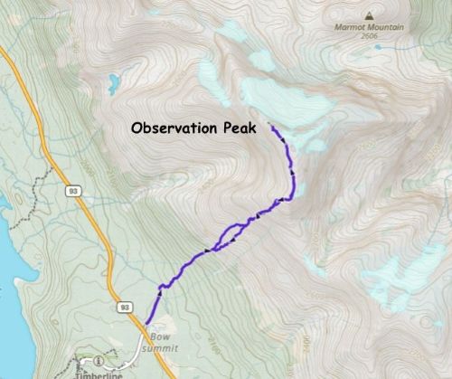
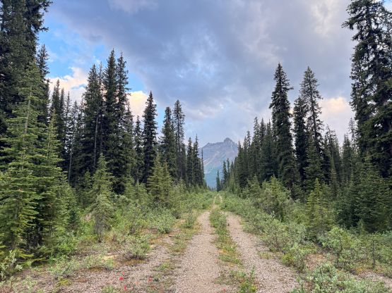
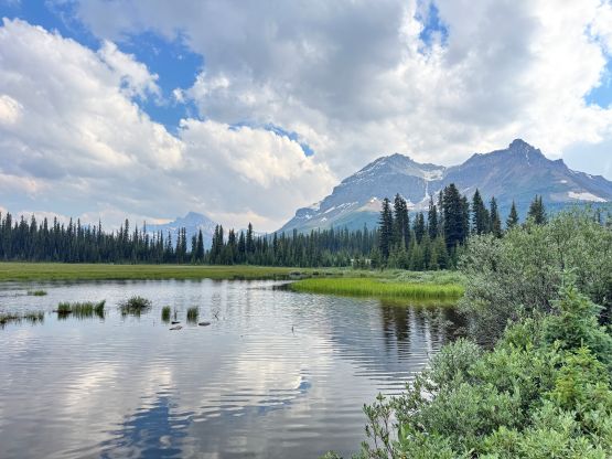
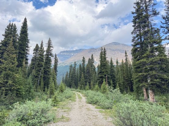
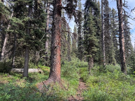
I correctly located the access trail from the end of this spur road. I wasn’t super keen on hiking in this kind of grizzly country on my own but sometimes I had no other choice. I dashed up the trail and in a short while I got to the bottom of a gigantic avalanche path. The path continued into the path and I made steady progress. The progress was slower than I thought and I only knew the bigger picture from checking the GPS readings. The view was extremely foreshortened. I also got misled by some cairns and paths and went too far up the main gully. The correct route ascends onto the rib on the climber’s right so eventually I thought I’d better traverse to the main route. That was definitely the right call as the main route was mostly a “highway”. There were a few scrambling sections with route-finding problems, so I probably would rate this objective “moderate” instead of “easy”, by Kane’s standard.
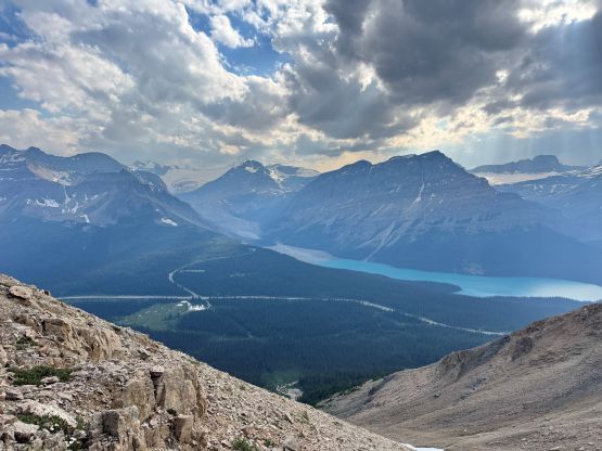
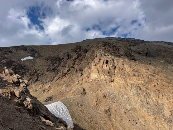
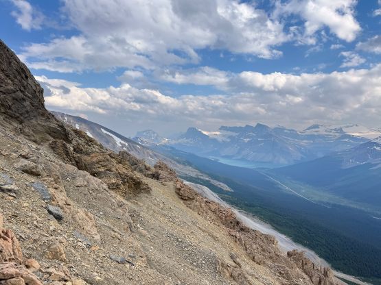
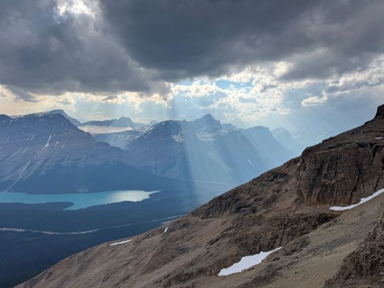
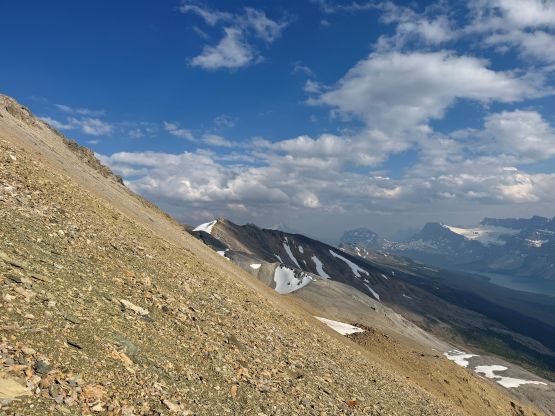
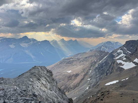
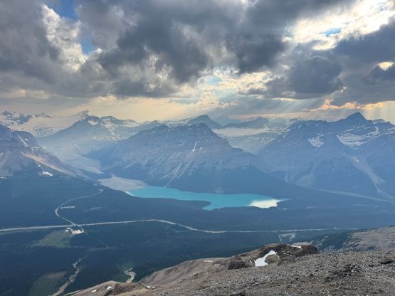
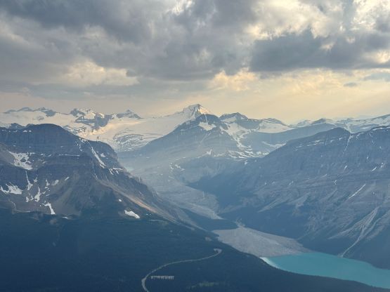
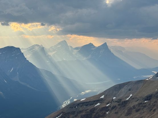
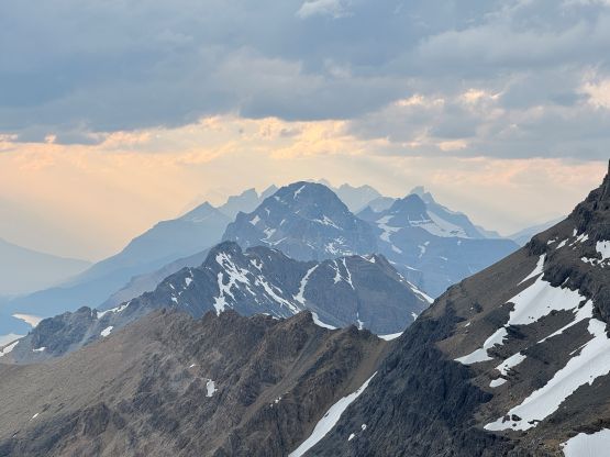
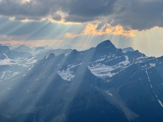
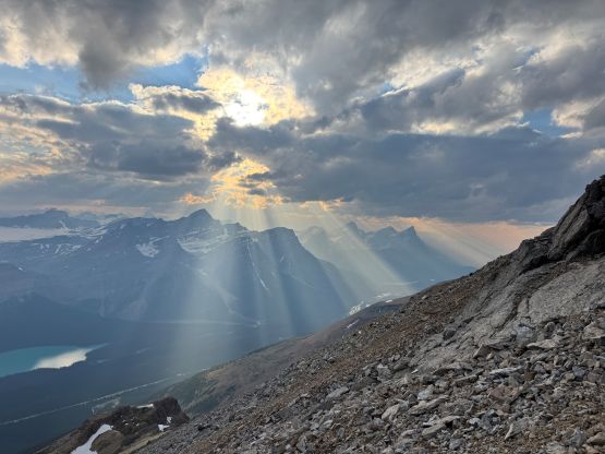
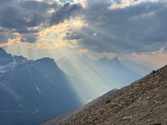
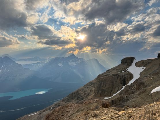
The final 100 m bash up onto the false summit had some of the worst scree I had encountered in the recent time. I was anticipating a “trail” for the entire way up but that wasn’t really the case. I did find several paths but those were only served for descending. Ascending any of those tracks involved plodding up some treadmill scree. The false summit also needed to be ascended in the up-and-over fashion as any attempt to take a short-cut would bring me to some serious scrambling, if not climbing terrain. Fortunately the views kept improving so I didn’t mind the extra work. Unfortunately the cold winds picked up and that eventually forced me to make a stop to don some layers and gloves. I’m no longer used to that in the middle of summer after living in the coast for 10 years. The true summit was still a ways away and the highest point was currently on snow. I did climb to basically the very top after determining it wasn’t on a cornice but honestly I couldn’t be 100% sure. The view eastwards was still obstructed by the snow but I didn’t feel safe to go to the very edge. I also ventured beyond the true summit to get better views towards the north.
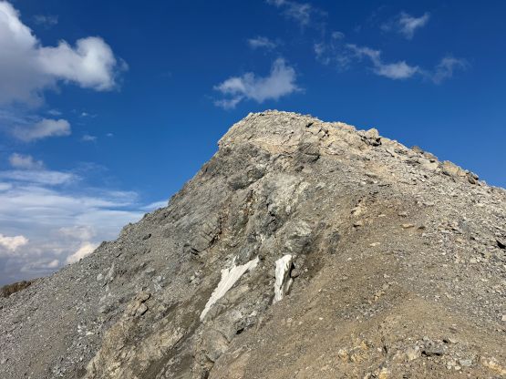
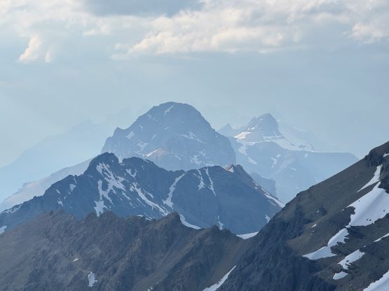
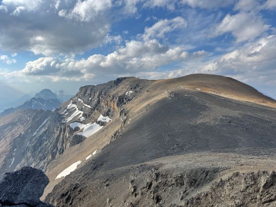
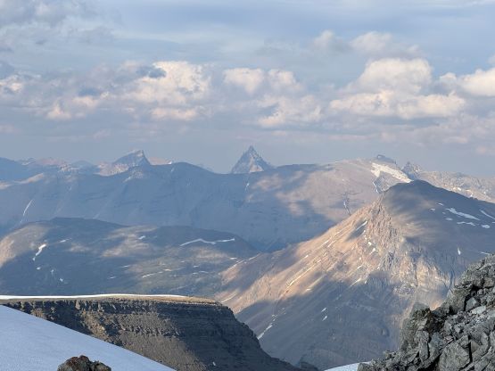
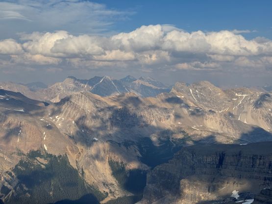
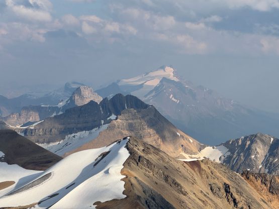
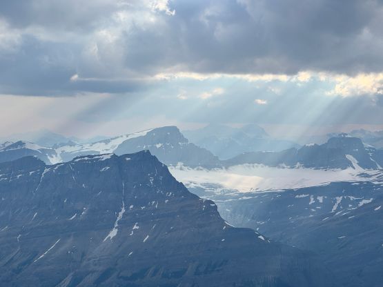
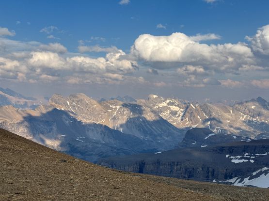
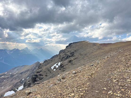
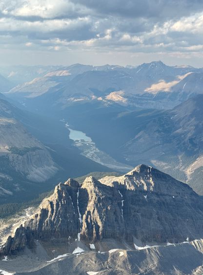
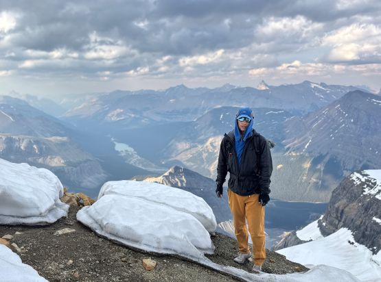
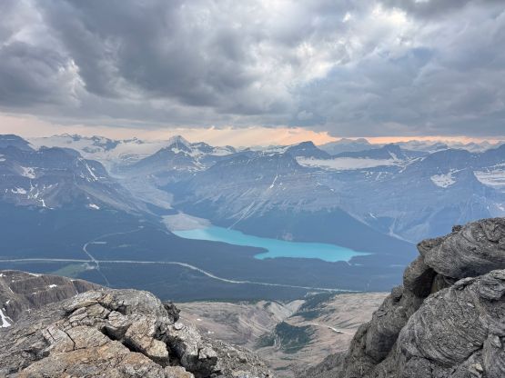
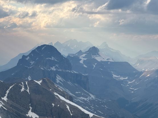
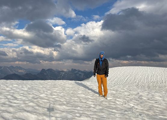
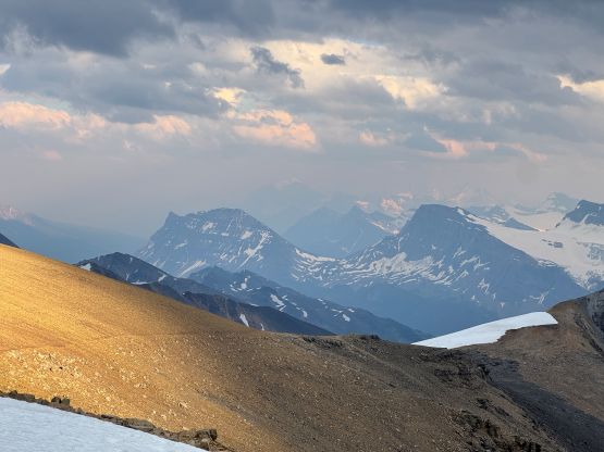
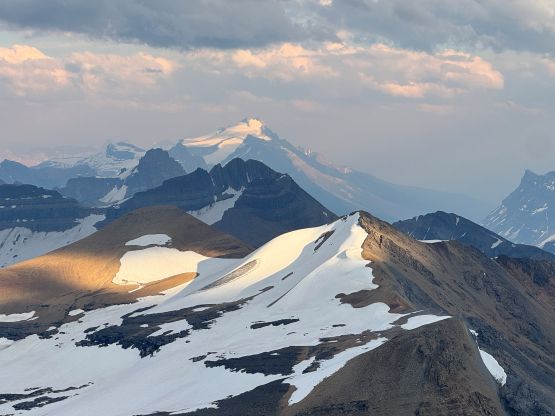
After taking in enough of the views I traversed back to the false summit. The lighting kept changing. I wouldn’t say the lightning kept improving but I had to constantly take pictures to capture the different moments and it could only be decided after the trip what was the “best” moment. The descent was as fast as I could but I took my time lower down to safe the knees. I had already gained 2300 m elevation on this day and this was the 3rd day in a roll of serious peak-bagging so I was definitely feeling it. I eventually finished the round trip in 3.5 hours and then pushed to Golden to have a late dinner. I eventually drove all the way to the west side of Rogers Pass before exhaustion took over. I pulled over at a nearby trail-head and slept in the car.