De Pencier Bluff
May 4, 2021
1230m
North Shore Mountains, BC
“De Pencier Bluff” is just another unofficially-named pimple on the lower slopes of Mt. Seymour with hardly anything significant to speak of. In fact, there are about 10 summits to the south of the main peak of Mt. Seymour, official or unofficial, and none of them boasts more than 100 m of prominence so by some people’s standard none of them should be counted as a separate peak. However, these are all popular “bags” in the local community since they are all easily attainable and all of them are included in the North Shore’s “Baggers Challenge”.
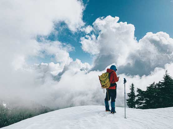
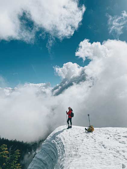
I had already bagged most of the pimples on the slopes of Mt. Seymour but “De Pencier Bluff” was one that I hadn’t managed to touch yet. I decided at the very last minute to take Wendy M. up there because I wanted her photography to make this a somewhat memorable ascent. When I threw out the idea she suggested to add Mystery Peak to make a loop and I reluctantly agreed, even though I had already been up Mystery Peak two times. There’s no need to start early for these objectives and we did not leave White Rock until 7 am.

The drive to Mt. Seymour was uneventful and the weather was not as sunny as we were hoping for. It seemed like we were going to have “a mix of sun and clouds” that we wouldn’t know what views we could get until we were on the summit. On the ascent we took the standard trail that went towards Brockton Point and left the trail onto the ski runs near the top of Mystery Peak. We got to the summit of Mystery Peak just when the sun’s poking out for a brief moment.


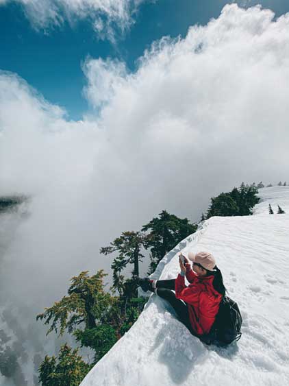
We picked up a set of foot path to descend the steep north slope of Mystery Peak then traversed across another steep-ish slope to the base of “De Pencier Bluff”. The ascent of the bluff was done via the gentle south slopes. The north face was a shear drop to the frozen De Pencier Lake. We spent about half an hour on the summit to take photos but there really wasn’t that much to shoot.


On the descent we took one of the several trails on the south side of Mystery Peak to cut back into the ski resort and the route we took involved fair amount of up-and-downs but also some fun glissading. The rest of the descent on the ski runs were very boring but at least short-lived. Our round trip time was just over 2 hours on a leisure pace and we got back to White Rock at 11:30 am in time for lunch.


