Volcano Peak
September 8, 2012
2554m
Kananaskis – Highway 40, AB
Not to be confused with another unofficially named “Volcano Peak” in Grande Cache, this one locates at the center of Kananaskis. The (very unofficial) name was given by Andrew Nugara resembling its shape. For “Volcano Peak” itself I’d recommend as a snowshoe trip in winter for better scenery. The nearby bigger peaks are more or less only doable in dry condition so this easy summit can give you a winter view of the surroundings. In summer it’s usually done as part of the “Big Traverse”. If coming from Wasooth Peak side then Volcano Peak should be the last objective of the day.

The Big Traverse scramble route link-up
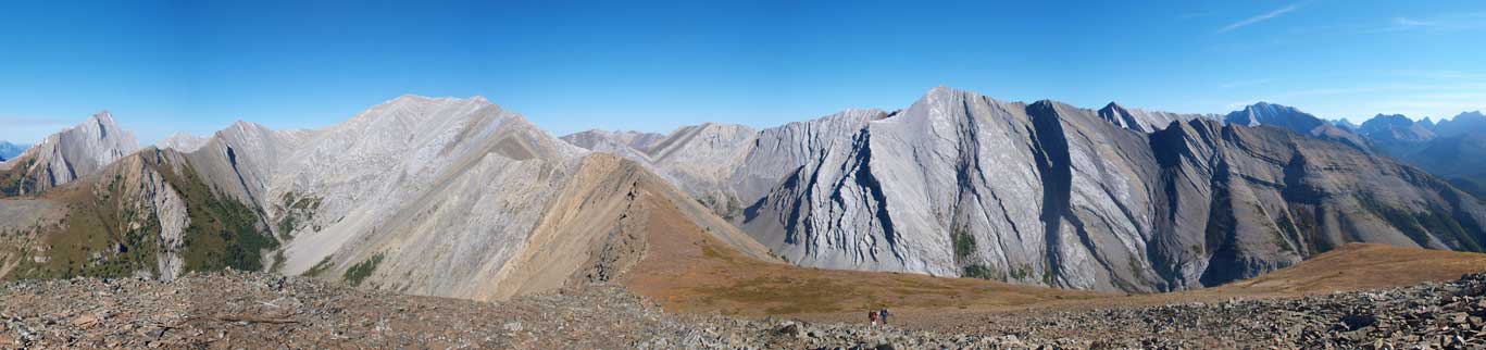
Coming down from Mount McDougall, Neil, Tyler and I were on our way to the 6th summit. Volcano Peak is really just a bump on the SW ridge of McDougall, but judging by its popularity we shouldn’t give it a miss. To me, any mountain that has a name counts, doesn’t matter if the name is official or not. Getting there involved some difficult rock bands. They didn’t impose too much of a difficulty to us, but I can see if snowy, these rock bands can be very tricky. With the afternoon sun, the rock formation in Fisher Range looked impressive. I guess there was a forest fire somewhere in Assiniboine – Sunshine area as we could clearing see the smoke soaking in from the west. There’s even a register on this peak, which surprised us a bit.
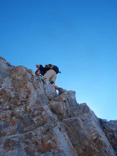
One of the rock steps
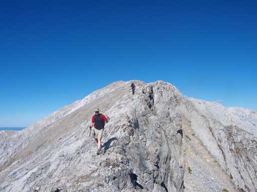
Most of the time the ridge is merely a simple walk
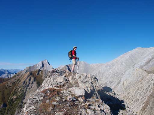
Neil enjoys the afternoon view
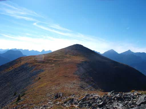
Volcano Peak ahead

Summit view towards Kananaskis Valley
Summit view towards McDougall Range
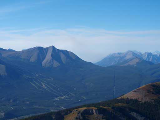
Town of Canmore was soaked by smoke
Beautiful Old Baldy Mountain

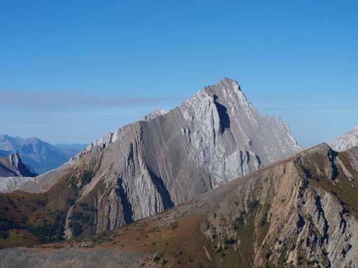
Fisher Peak
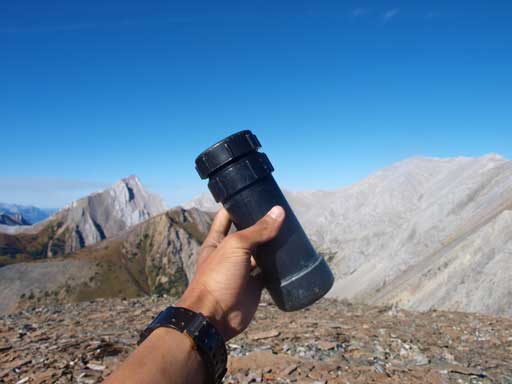
I was surprised to find a register on this bump…
We decided to take the gully immediately towards skier’s right. Poor decision, this gully turned out to be very miserable. It reminds me about Storm Mountain, the worst scramble ever… There’s even a big cliff near the end and forced us to do some bushwhacking to get around. Once down to the main drainage, more bushwhacking was waiting for us… After what seems like eternity of nasty stuffs, we finally managed to find the trail on the right side of the stream. We followed the trail eventually back to Evan Thomas Trail and another 20 min brought us back to car. Our round trip time was 12.5 hours including all of the stops.
Overall it was a very satisfying trip in the mountains again. Given the superb condition I’m sure we could have done bigger mountaineering objectives but it was also very nice to finally get this traverse on my belt.
