Mount Backus
April 5, 2014
1815m
Castle Wilderness, AB
After finishing Prairie Bluff early in the morning, Grant and I were looking for a second objective. Initially I wanted to ascend Lakeview Ridge in Waterton since we still had lots of time to kill, but then we figured nobody brought the park’s pass. Plus we were not quite motivated for another ridge-walk after experiencing the howling wind earlier in the day. So we drove back to Pincher Creek and then westwards on Highway 507 and then 774 towards West Castle. We picked Mount Backus, a lowly bump in the foothills. The weather was worse in this area than in the East Castle but most of the ascent would be in the trees so we could escape from the wind.

Mt. Backus snowshoeing ascent route. GPX DL
Sonny Bou and Bob Spirko ascended it a couple weeks ago and we’d use the same route as they did. I also armed with their GPS tracks. Apart from a short dip not far into the trip, the route was fairly simple – just going up. The bushwhacking was nearly non-existent probably due of the thick snowpack. Sometimes my poles could punch entirely through without touching the ground. It’s amazing to see this amount of snow in the foothills in April, but oh well. That kept us free of dead-falls so I wouldn’t complain too much about it. The snow also held nicely. On a warm day like this we would expect lots of post-holing in isothermal crap but it wasn’t the case. There was some knee deep post-holing on steeper rolls but in general it was tolerable.

Not something you’d often see
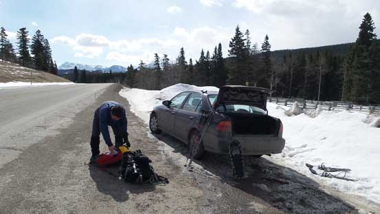
We parked on the highway shoulder.
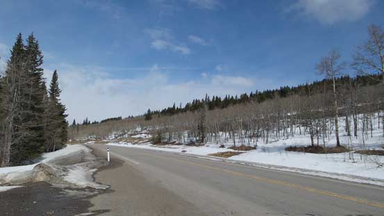
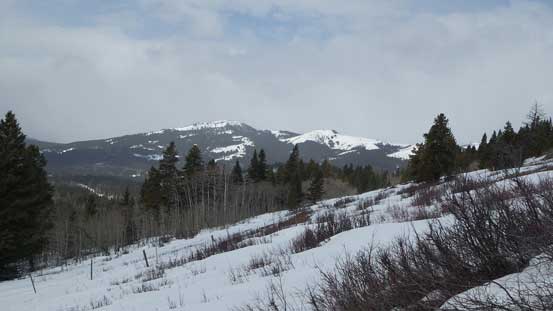
A view from parking area. Can’t see the summit
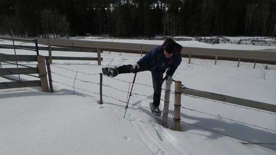
There were quite a few barbed wires to hop over
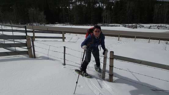
Same as above
A view of Carbondale Hill which would be our 3rd peak in this day
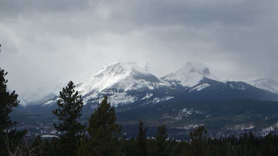
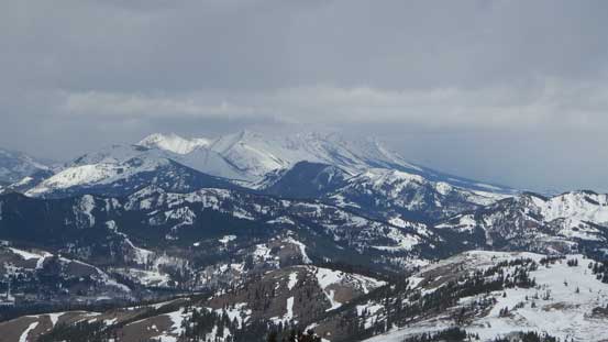
Syncline Mountain was soaked badly
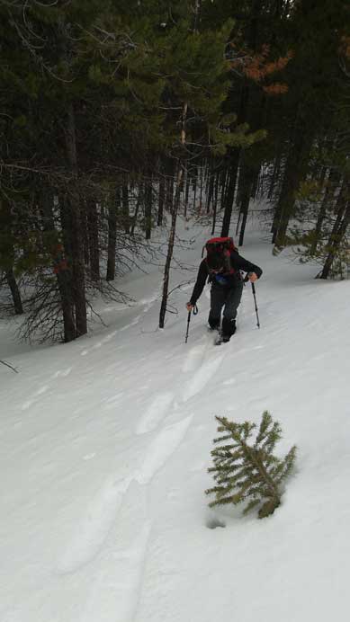
Post-holing.
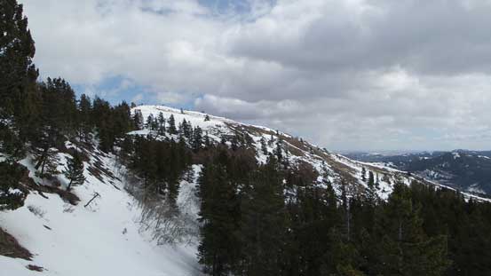
The summit block ahead
The summit was free of bush probably due to the howling wind in this area. That was a bonus since we’d get some views. The weather had already turned worse so the views weren’t very exciting but it’s still nice to see some peaks. Towards east it was still sunny.

Near the summit
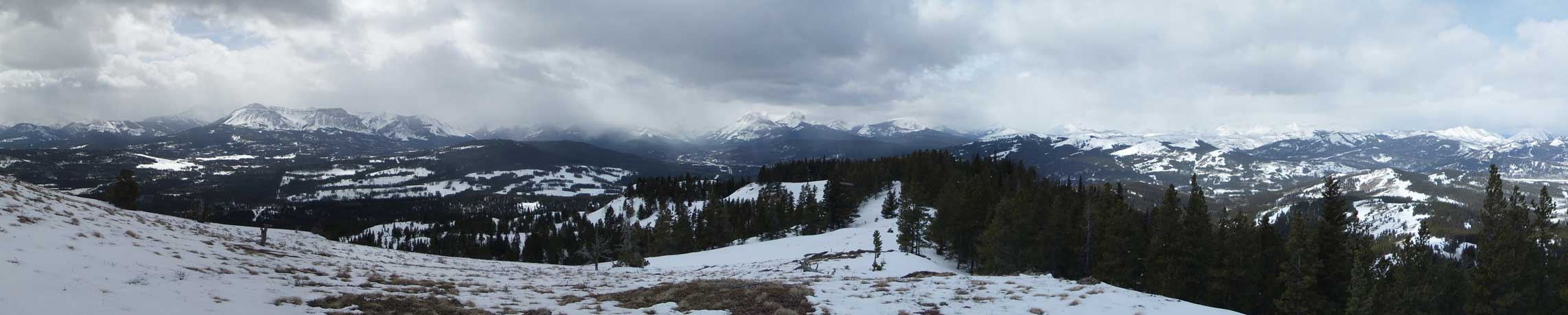
Summit panorama looking towards the mountains. Click to view large size.

Summit panorama looking towards the prairie. Click to view large size.

Hillcrest Mountain and Turtle Mountain

Grant taking in the views

Table Mountain
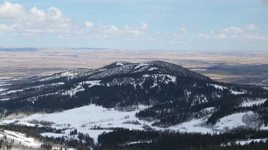
Looking down at another lowly hill. This one doesn’t have a name.

The prairie
Livingstone Range in the distance
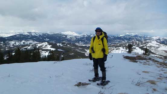
Me on the summit
On the descent snow had softened a bit but not by too much and our round trip time was just over 2 hours on a fast pace. Mount Backus turned out to be a trip that offers nice views but requires minimal effort. If condition is bad or you’re lack of energy/motivation but still want to get out then I’d recommend this one as a snowshoe ascent.
It was only 1:30 pm ish and after having lunch in Grant’s car we decided to hike up another peak..
