Murray Peak
October 23, 2021
2146m
Lytton, BC
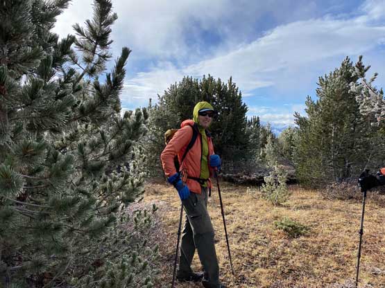
Murray Peak is officially named but boasts only 60+ m of prominence above the saddle with the unofficially-named “Mull Peak”. The higher neighbour has over 400 m prominence so it has to be counted as a separate summit and this one, despite the lack of prominence, also counts because of the official status. The area in the immediate vicinity of Murray Peak and Laluwissen Creek is more known for its dirt biking and other forms of motorized activities. There are hundreds of biking trails. Alex, Ben and I are by no mean motorized enthusiasts and instead, we hiked the two as a short loop traverse. We chose to ascend “Mull Peak” first as it’s taller and more scenic.
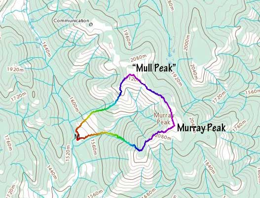
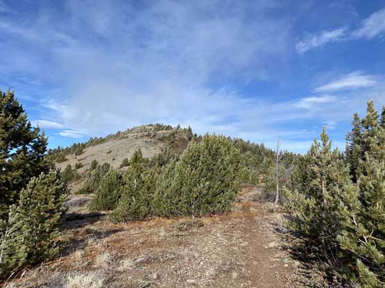
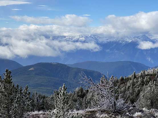
From the summit of “Mull Peak” we only needed to lose about 100 m elevation on mostly easy and open terrain. We even picked up some ATV roads and the roads actually continued onward towards Murray Peak’s summit. The distance between the two peaks was almost 1.5 km but we covered it very quickly. The summit of Murray Peak wasn’t nearly as nice with views blocked by trees. There’s also some clouds moving in further obscuring our views.
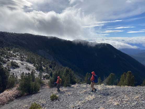

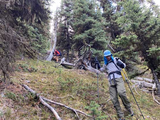
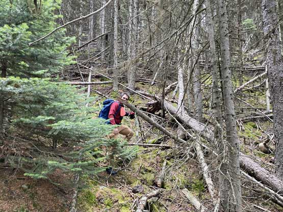
Not doing any lingering we immediately started the descent. We had very little beta about the route we would go down, but the maps suggested there shouldn’t have any difficulty. We followed the ridge crest traversing over a few smaller bumps before dropping steeply down the north side into the forest. The forest was very steep and and recent frost had created some very slick conditions. Lower down we also encountered a ton of pick-up-sticks that started to become annoying. We eventually crossed the creek that drained from Mull/Murray bowl and traversed over more dead-falls back into the cut-block on Mull Peak’s lower slopes. The descent of that cut-block was easy and uneventful.


The ascents of “Mull Peak” and Murray Peak had taken us much shorter than anticipated such that it was only lunch time once we finished the hike. Not wanting to waste the afternoon we made the spontaneous trigger to go explore towards “Pasulko Peak“. Alex had downloaded the satellite images while I knew roughly what to expect from years of studying on the various maps.
