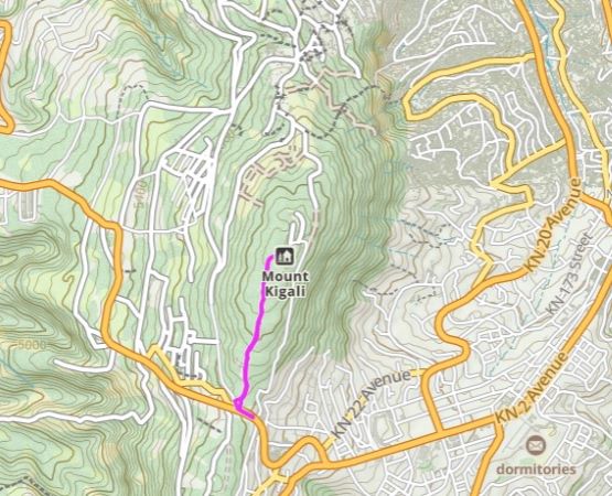
Mount Kigali
January 10, 2024
1850m
Kigali, Rwanda
Mt. Kigali is one of the hills in the vicinity of Kigali, the capital of Rwanda. It boasts over 300 m prominence and has a road to the top, but the summit area is occupied by military facilities and is technically off limits. This was not on the original agenda, but Rob and I had the entire afternoon to kill in Kigali and we might as well give it a try. Alastair was also interested in but wasn’t keen on walking, so if the road’s drivable then he would also tag this summit.
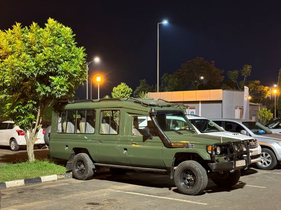
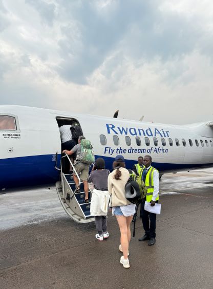
The three of us landed in Kigali at around noon and our driver from Amahoro Tour was already at the arrival waiting for us. Rob did all of the planning and communication so I just showed up and tagged along. The second group, Deividas, Richard and Denise would not arrive until 7 pm in the evening and their flight was further delayed by more than half a hour. The plan was to drive all of us together to Musanze. The drive would take roughly 2.5 hours so it made sense to go together, and as a result Rob, Alastair and I had to find something to do in the afternoon. Our first stop was the Kigali’s genocide museum to learn some important Rwandan history, but we still had at least 2 extra hours to kill so I threw out the idea of bagging Mt. Kigali.
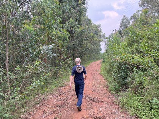
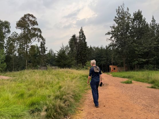
Our driver was initially convinced but he did not understand what I meant by “driving to the summit”. More precisely, he did not understand what a “summit” means. It’s not possible to actually drive to the summit as we discovered, but the walk from the south side would be at most 1.5 km each way. The driver wanted to take us a “tour” to somewhere on Mt. Kigali for a view of the city. I spotted what he was trying to do, and called him off. The driver eventually claimed that to hike to the top we needed a guide and it’s too late in the day to find us a guide. I insisted that we did not need a guide and there’s understandably quite some conversation and arguments to eventually convince him to let us proceed alone, without a guide. I understood the associated liability issues but I pushed the driver quite hard.
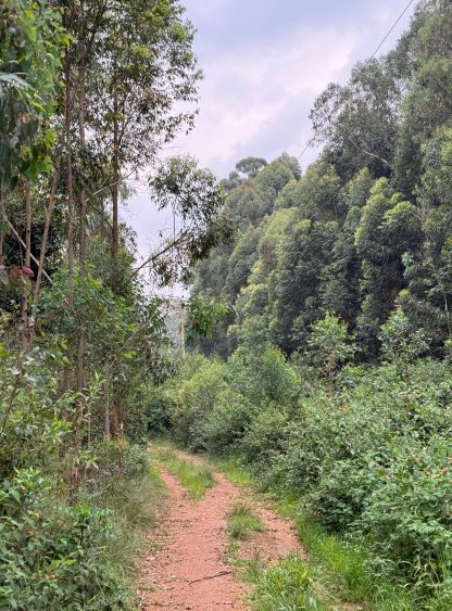
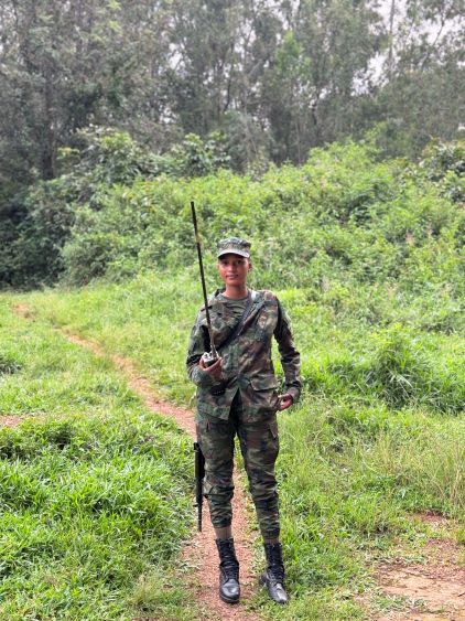
The walk to the summit was not without event. There wasn’t much to say about the road-walking but we soon discovered the summit area was gated and guarded. As we slowly approached we found the guard was actually a cute looking girl. She did not speak much English but I managed to let her know that we were only interested in the highest point. She did not stop us from going further, so we went for another few hundred horizontal meters to find the highest point.
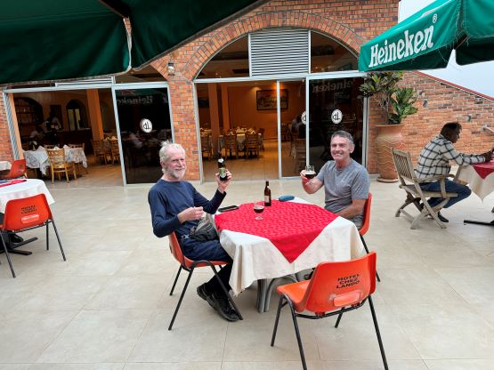
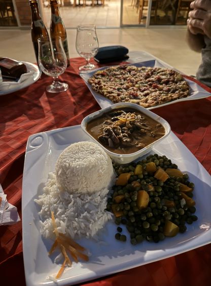
After coming back to the gate she told us to stop. I was confused but the communication was not easy as she did not speak English. A few minutes later two more soldiers came from behind and asked us a bunch of questions. One of them spoke decent English and informed us that we were not supposed to be in there, but then I showed him my GPS map and photos and those were enough to convince him that we were not American spies. He gave us the permission to descend so in 10 minutes we were back to the vehicle. A lot of people were warning me about the dangerous people in Rwanda but what I actually observed was the opposite. The people here were very friendly. If this was in US then I’m 100% sure we wouldn’t be granted the access. In any case we found a restaurant and killed another hour or two, then drove back into the airport to pick up the rest of the team members. The drive northwards to Musanze afterwards was uneventful but we arrived late and did not get much time to rest before starting up Mt. Karisimbi on the following day.