Dewdney Peak
June 13, 2019
930m
Mission / Fraser Valley, BC
Not to be confused with Mt. Dewdney near Manning Park further to the east, this Dewdney Peak is a much smaller objective immediately next to the city of Mission in the Fraser Valley. This is rather just a wooded hill with nothing to see from the true summit. Much of the peak is heavily logged and in fact, I believe with a trusty vehicle one can drive to within 100 vertical meters from the summit, but that wasn’t how I wanted to do this summit. The forested SE Ridge boasts a classic steep trail known as “Dewdney Grind”. It’s nowhere as popular as Grouse Grind or even the Abby Grind, but is still a popular hike among the locals. To fully experience this summit my plan was to ascend the Dewdney Grind trail all the way up from near sea level. There’s a cabin about halfway up the mountain and a neat viewpoint past the true summit. The wooded true summit itself offers no interest to anyone but the stubborn peak-baggers.
This was my last work day in this semester and the next day I would fly to Montreal for something elusive. In theory I should have rested at home spending more time packing and calculating but with the good weather it’s hard to resist the temptation of squeezing one last hike into the morning. I had to be back home at 4 pm for work and I didn’t want to wake up crazily early so I settled on the less ambitious objective.

Dewdney Peak hiking route via Dewdney Grind. GPX DL
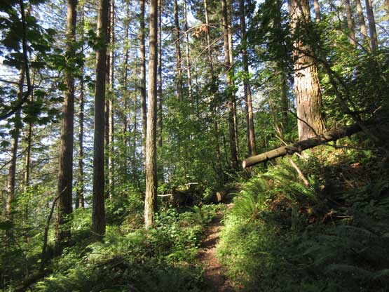
I woke up at 6 am and was at the trail-head by 7:30 am. The day was already hot and humid and I didn’t quite enjoy the sudden steepness of this trail. I went at a below-normal pace but kept it steadily. I took the first break after gaining more than 500 m elevation to reply some emails and then resumed the hike. The trail then made a ton of crisscrossing over the logging spurs but route-finding wasn’t a problem thank to the abundant cairns and flagging. I met a local hiker near the cabin and he showed me some history of it.
Hiking up Dewdney Grind
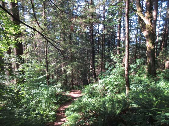
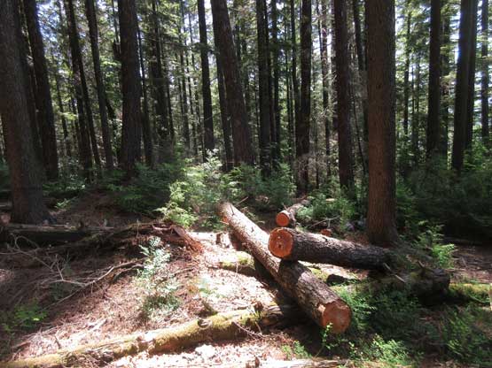
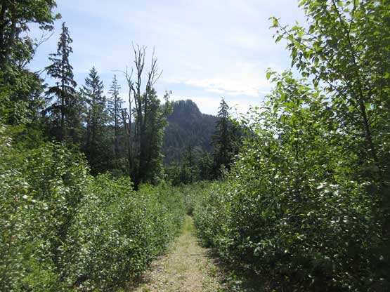
As much as the forested hike went. This is the typical view
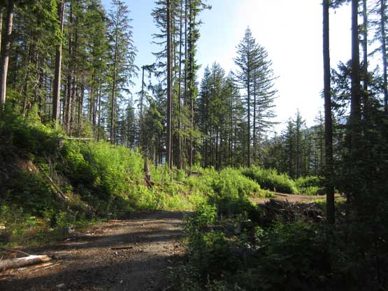
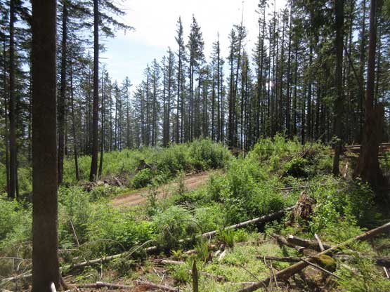
The first of the many logging roads that the trail crosses
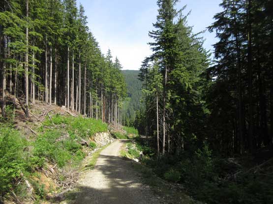
I had to hike up this branch of road for a while
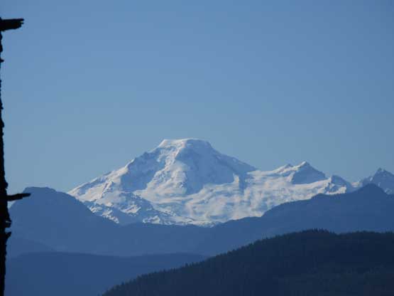
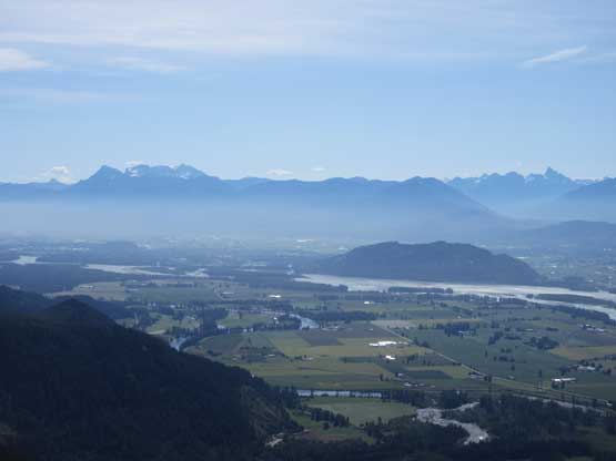
A zoomed-in shot of Mt. Baker from the cabin
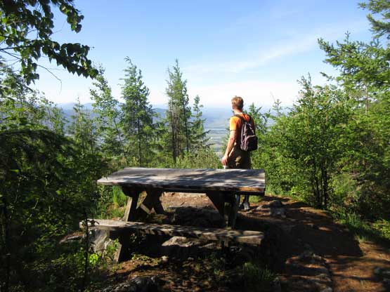
The local hiker on a (minor) viewpoint at the cabin
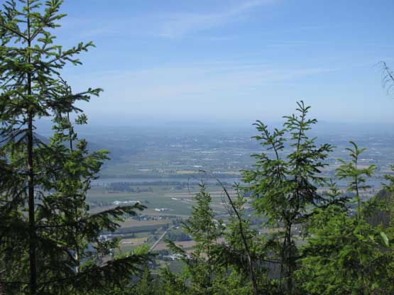
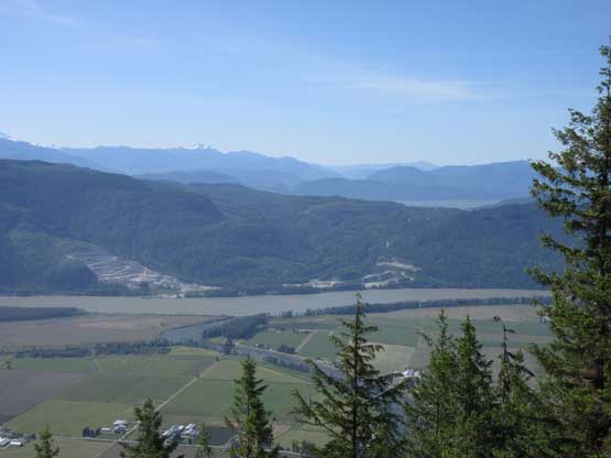
Looking down into Fraser Valley
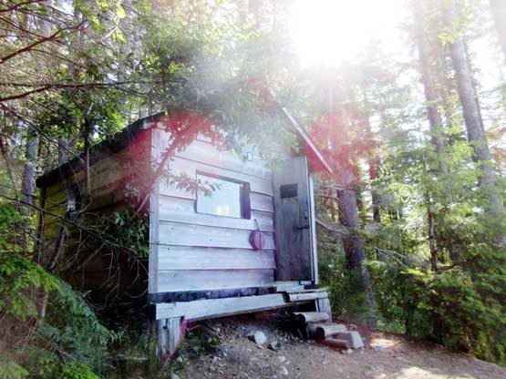
This is that cabin.
I took several breaks along the upper route mostly to reply emails. The upper ridge wasn’t as steep as the lower portion of the grind and the trail did again, a ton of crisscrossing over logging roads. I had lost count on how many times I went onto the roads. There’s also one major dip to traverse up and over a false summit before climbing onto the true summit plateau. I took a short off-trail travel to the highest point, grabbed a photo and then hiked further to the aforementioned viewpoint, with over 50 m elevation loss. I was really debating to not bother with that viewpoint because of the elevation loss/regain but I did make the right call. The viewpoint had the best view from this summit and I would definitely recommend it… Otherwise you wouldn’t get much of view at all from this entire hike.
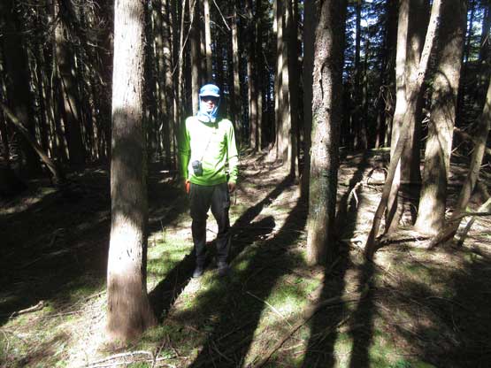
Me on the true summit of Dewdney Peak
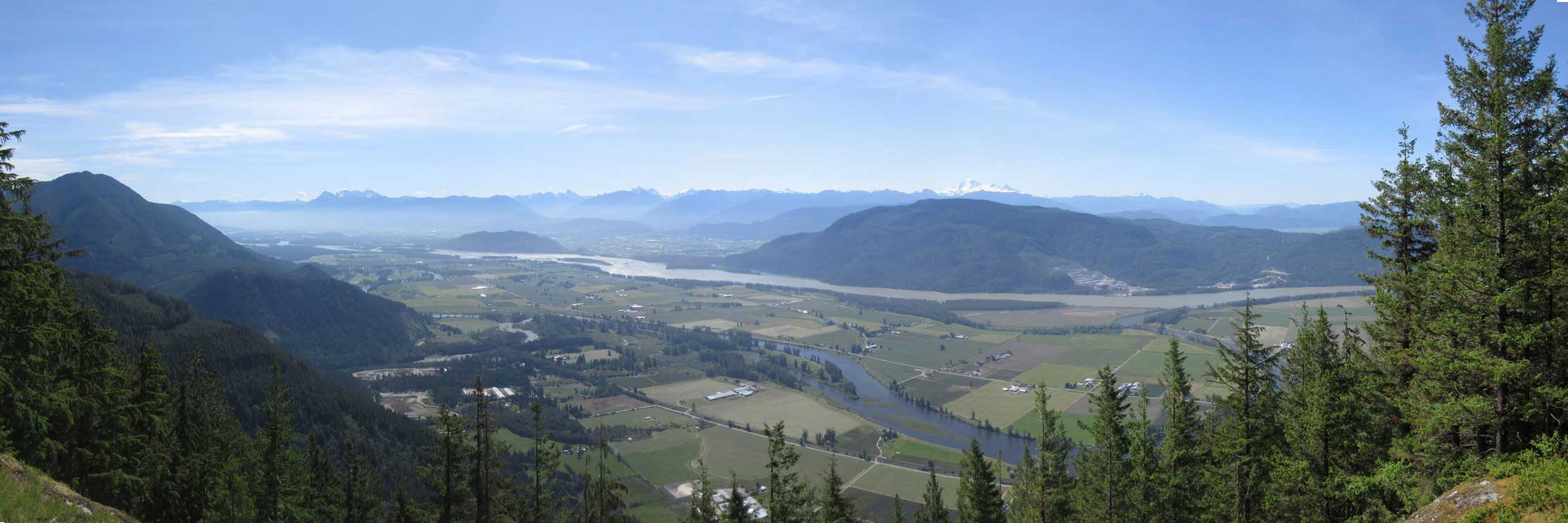
Panorama from the viewpoint south of the peak. Click to view large size.
This is looking into the Chilliwack area
Looking over the shoulder of Sumas Mountain into Columbia Valley
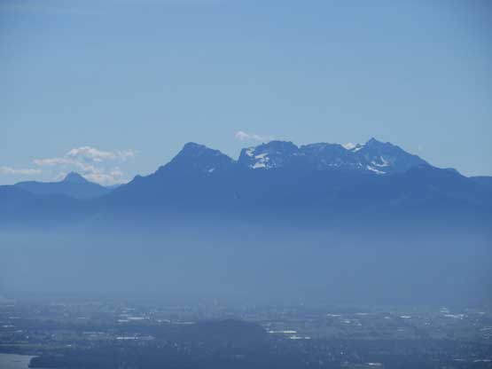
The peaks on Cheam Range
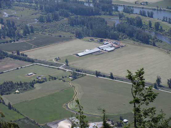
A closer look at the agricultural lands immediately to the south
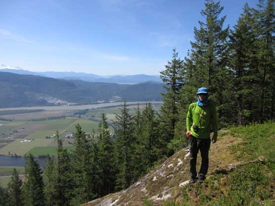
Me on the viewpoint south of Dewdney Peak
After snapping enough photos I turned my attention to the descent. I didn’t do much lingering on the way back but I somehow took a wrong trail on the lower Dewdney Grind. The trail led me to a clear cut area with views into Norrish Creek valley that I didn’t remember on the way up, and checking the GPS revealed that I had mistakenly taken the NE branch. No big deal as I just had to add ~2 km of road walk at the end.
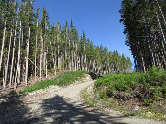
Lots of wood cutting activities in the forest
Coming onto one of the many logging road branches
Just another piece of logging road
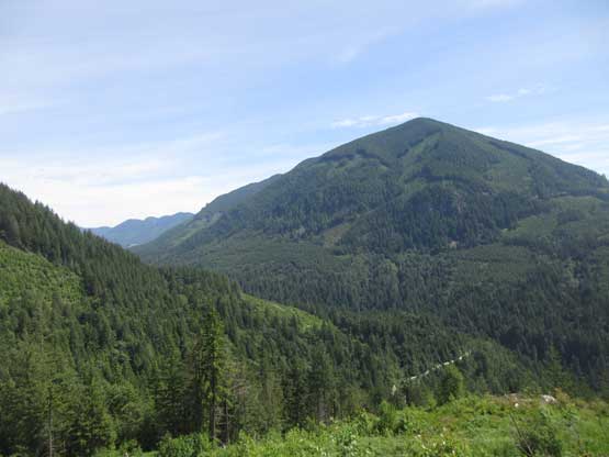
Much lower down how. This is Nicomen Mountain and Norrish Creek valley
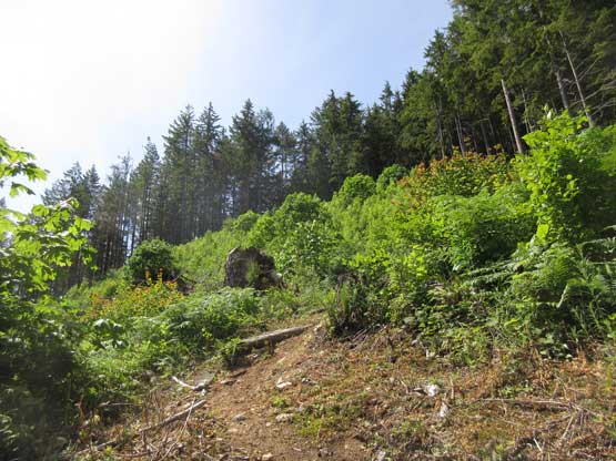
There’s a massive clear cut on the lower trail
One of the few minor roads that the trail travels through.
My round trip time was just over 4 hours on a lazy pace with lots of breaks. This hike offered a bit more than my expectation and I would actually recommend it. Although the true summit is totally wooded with nothing to see this peak is not a complete dumpster-diving.
