Mount Sproatt
November 16, 2021
1834m
Whistler, BC
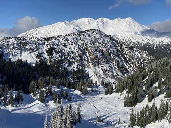
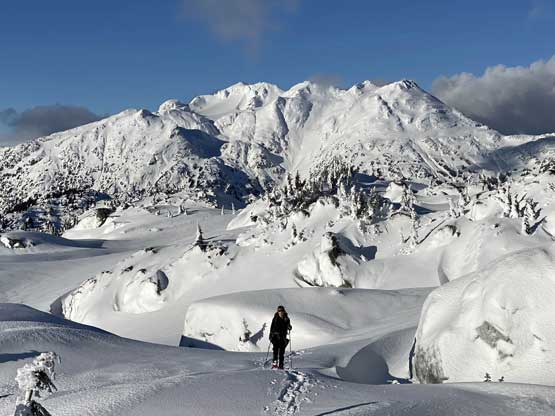
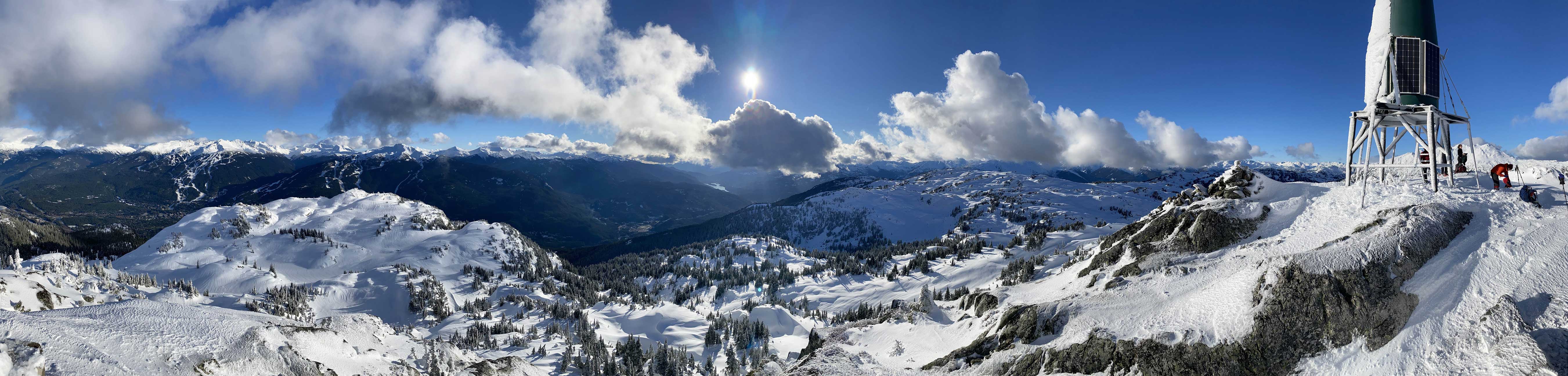
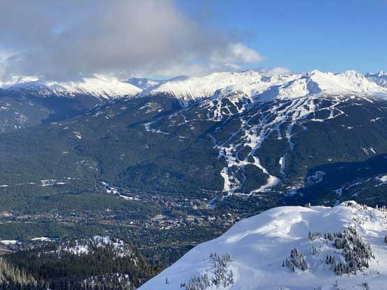
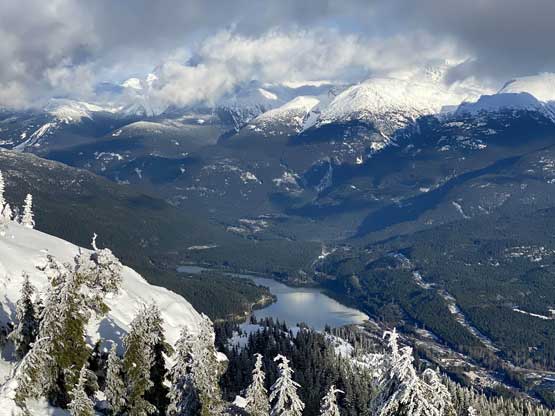
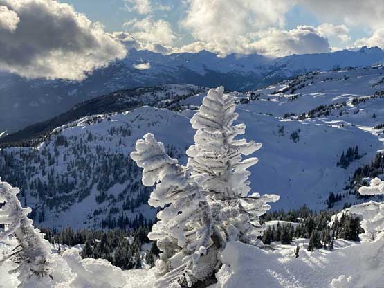
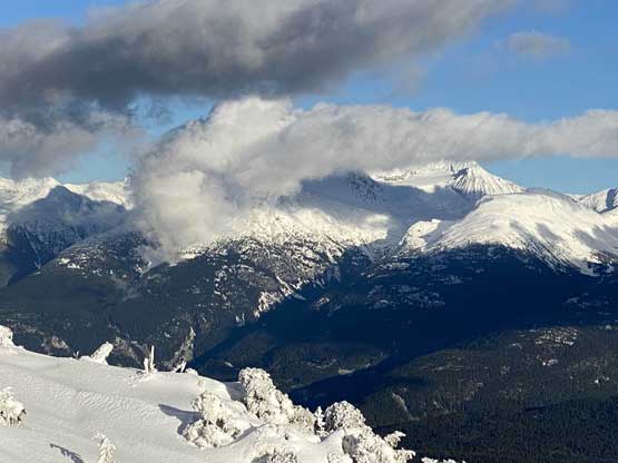
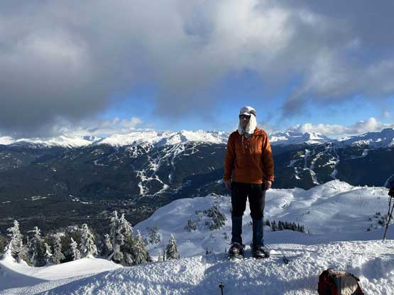
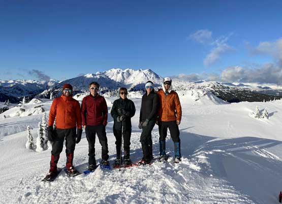
Mt. Sproatt is a popular winter objective in the Sea to Sky Corridor that does not need much of introduction. The road access is paved and the approach is on a trail. One does have to make some cross-country travel to reach the alpine, but the route is generally straightforward when the thick snowpack covers the ground unevenness. Mid-November is still in this so-called “shoulder season”, and although the alpine has already turned into a world of white, the snowpack in the lower zones are far from sufficient. Holly, Andrew, Ben, Elise and I decided to check out this area in this time frame and earlier in the day we had ascended “Tonic Peak” nearby. These two peaks make an ideal twofer outing.

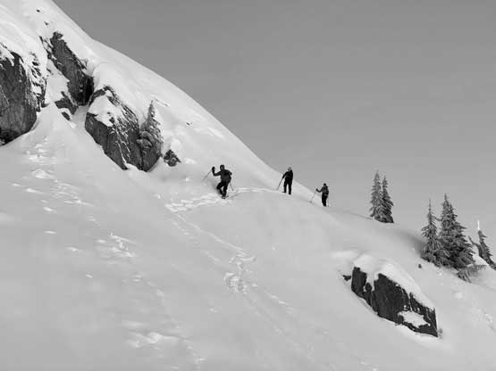
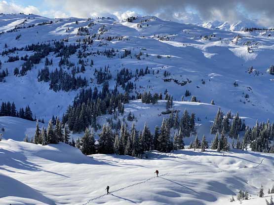
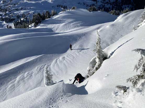
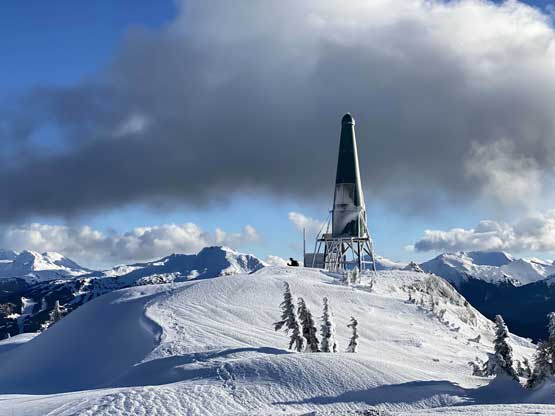
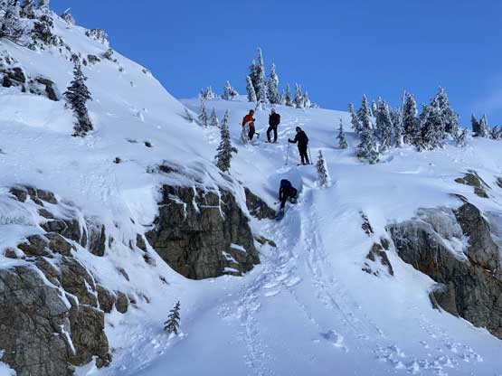
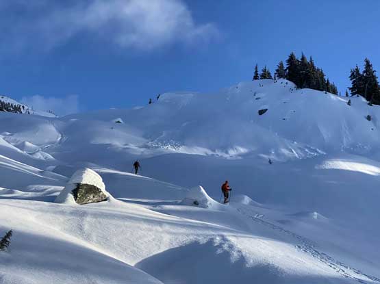
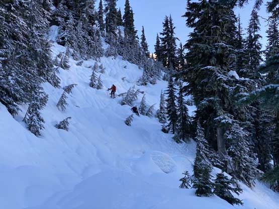
The terrain at Tonic/Sproatt col had lots of micro-terrain. At times we had to search for a not-so-steep line to work around some bluffs but most of the time we were able to ascend/descend in a straight manner. From the lowest point at the col we ascended the west slopes of Mt. Sproatt more or less straight-up, overcoming a few steep rolls including one tricky bluff much higher up near the summit. I knew there must have a bypass option somewhere hidden from view, but the direct attack looked feasible and fun. It turned out that we had to do a few 3rd class moves with snowshoes on. The summit was not where it’s labelled on Gaia map, but rather to the south of the spot. Just like many other peaks in BC there’s one green dildo erected on the very summit obscuring our panoramic views.


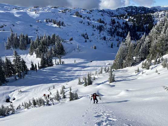

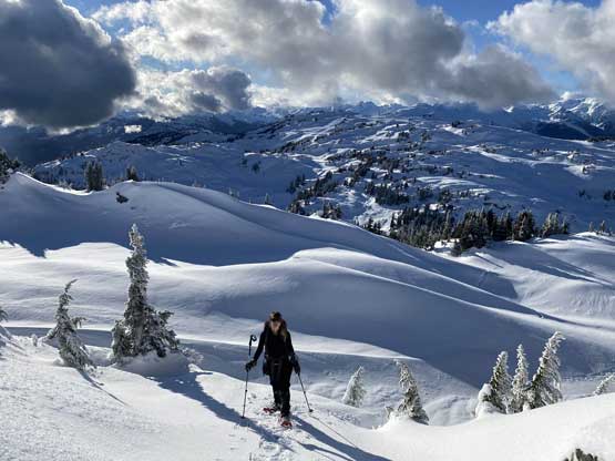
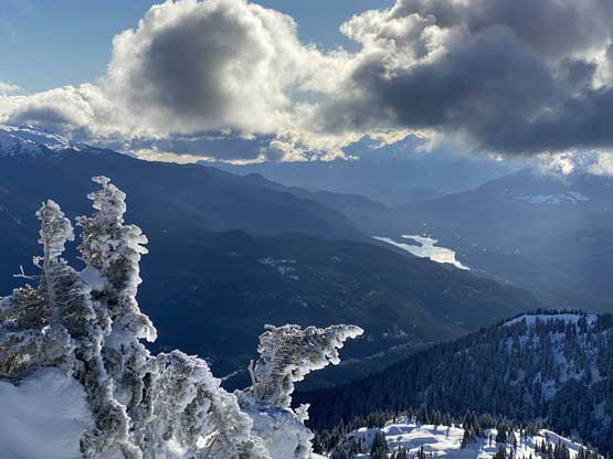

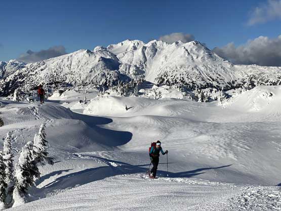
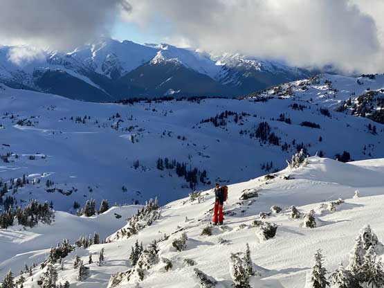
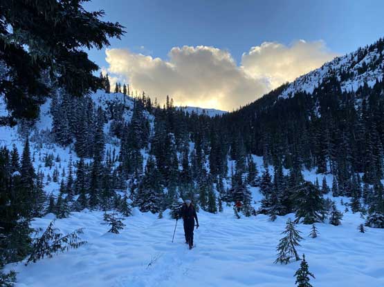
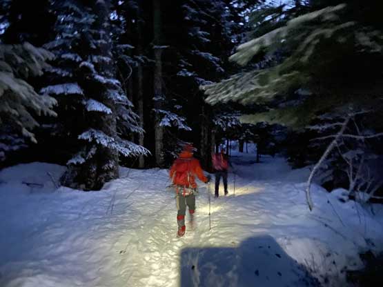
A massive group of skiers made the summit about half an hour later so we left once they showed up. We talked about a few descent options but decided to mostly retrace our own steps especially for the lower zones. We all down-climbed that 3rd class bluff for fun. We could have easily descended the skier’s skin tracks to avoid that bluff, but we chose not to. After the bluff I led the group down a direct route to descend into the valley below Sproatt/Tonic col. This section had mostly easy terrain although the crusty snow made for some treacherous travel. Once joining our own snowshoe tracks we mostly just followed the track out, with only one variation at the bottom of a steep section. The few stretches of elevation regain felt tiring and the plod out of that hanging valley was also tedious. Not long after getting back to the trail we had to pull the head-lamps out and the final hour was descended in the dark.

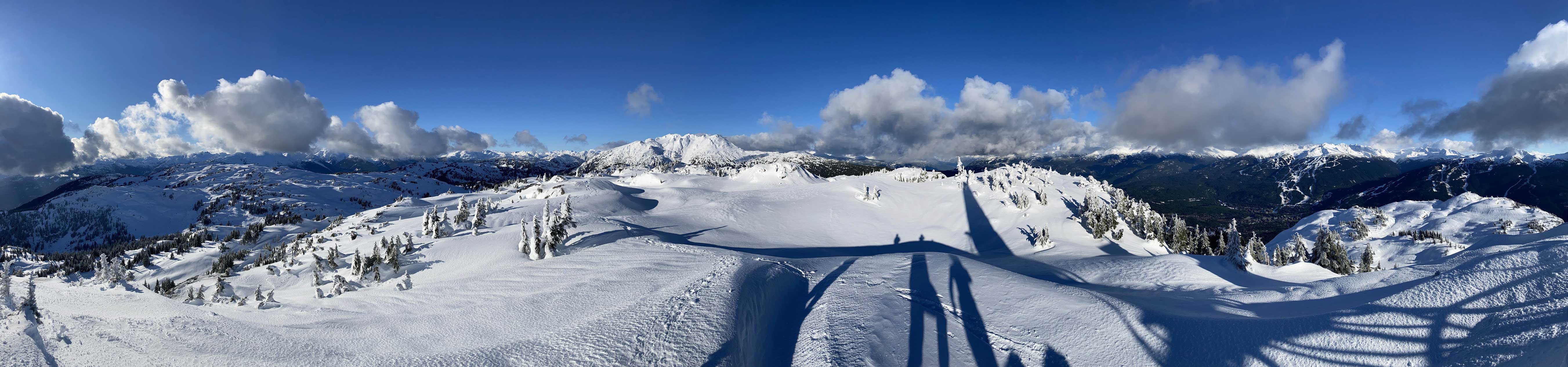
Our round trip time was about 9 hours which was a bit slower than expected. We did move steadily throughout the day, but the snow conditions were overall challenging at this time of a year. Holly again, did an excellent job driving us back into Vancouver. Overall I would agree with the classic status of this peak, but deep winter or early spring with a thicker snowpack definitely offers the easier conditions.
