Statimcets Peak (Peak 8700)
July 12, 2017
2631m
Downton Creek / Duffey Lake Road, BC
Alan Blair (Spectrum) was slowly ticking down the list in Matt Gunn’s Scrambles in Southwest British Columbia and had some unfinished business in Downton Creek area. In particularly he was super keen on “Peak 8700”. It took him a good while to convince me joining as this unnamed objective is neither sexy nor prominent. In the end Alan volunteered to drive (more than 4 hours one way) so I gave in. The unofficial name of “Statimcets Peak” is obtained from bivouac.com and judging by their notes it’s pretty clear this is just a random name assigned by the authors of that site. I’m not a fan of this type of naming but nonetheless, it beats “Peak 8700”. Further research showed that it’s possible to connect with the nearby Linus Mountain to make a 2-peak day and that did help boosting my motivation a bit.
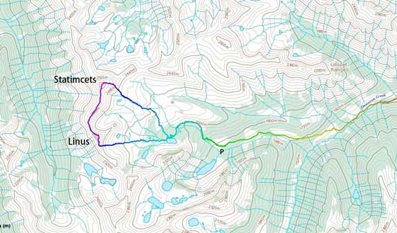
Statimcets Peak and Linus Mountain scramble loop. GPX DL
Our plan was to simply day-trip both Statimcets and Linus from Vancouver and that meant more than 9 hours driving in total. The trip itself should be fairly short but we still had to wake up early. Al picked me up at 4:30 am and then up the familiar Sea to Sky corridor we went. For most of the driving time I was sleeping. I guess I was not excited about this objective overall and didn’t fully wake up until halfway down the Duffey Lake Road. Two years ago I had done one trip up the Downton Creek drainage so with that previous GPS track handy we correctly located the turn-off. The road was rougher than what I remembered and that’s especially worse after turning onto the north branch. At least two spots required 4×4 with some degree of high clearance. None provided much of a challenge to Al’s stock Toyota and we had no trouble making to the upper parking lot. This road had dispatched a shit ton of elevation gain for us such that we already had some good views from the parking lot. That’s such a motivation booster!
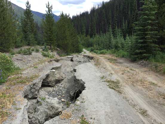
The typical conditions on Downton Creek FSR….
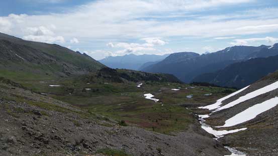
Finding the start of that “Holy Lake Trail” was a fairly easy task. It’s a pretty damn good trail with lots of flagging tapes so once on the trail proper it’s impossible to get lost. The trail initially ascents beside a creek but soon levels out once into the treeline zone. Then it did a sharp turn due climber’s left and apart from a couple boggy stretches and a few small creek crossings we had a fluent flow to reach Holy Lake. Beyond this lake we assumed the trail ended so didn’t spend much time searching around. Instead we took a general bearing due NE and bushwhacked out of the forest. The alpine zone was soon reached and then it’s a long plod across some vast meadows landscape.
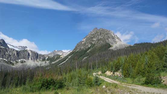
Not a bad view from the parking lot…
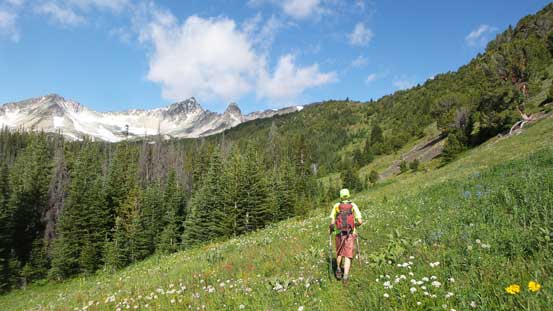
Hiking up the trail into sub-alpine zone
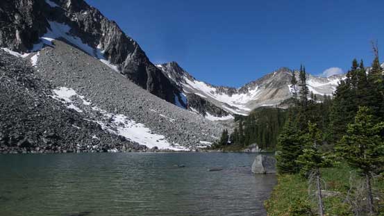
Arriving at Holy Lake
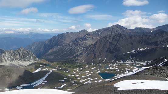
Our first objective – Statimcets Peak in the distance
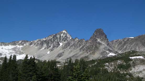
Linus Mountain and the evil-looking Faulty Tower

Plodding up
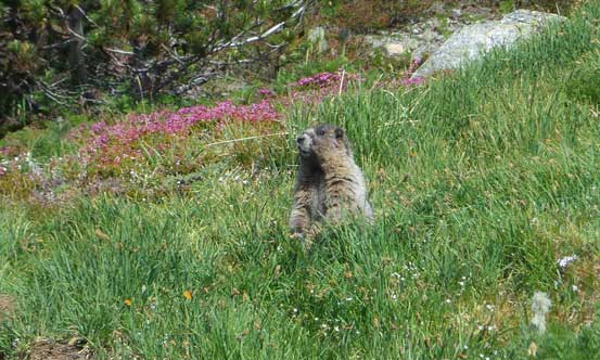
Lots of marmots around

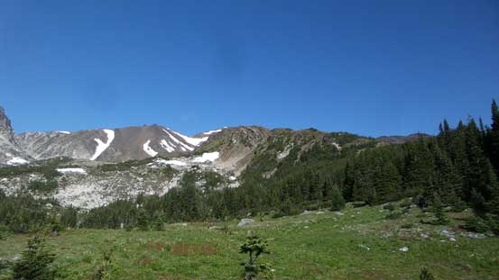
I really like this stretch of meadows.
Plodding across this stretch of meadows was very scenic and I have to say it’s been a while since I did any trip in this type of terrain. There are at least two or three small creeks to fill up water bottles too and then our aiming was at the broad SW slopes of Statimcets Peak. It appeared to be a giant pile of talus and it sure didn’t let us down. Treadmill scree at its finest with the Rockies type of 2-steps-up-1-step-down kind of grunt.

Plodding across the meadows towards our objective
Looking back shows the scale of this meadows
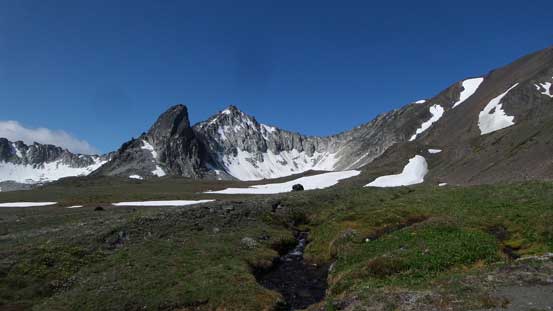
Linus Mountain and Faulty Tower
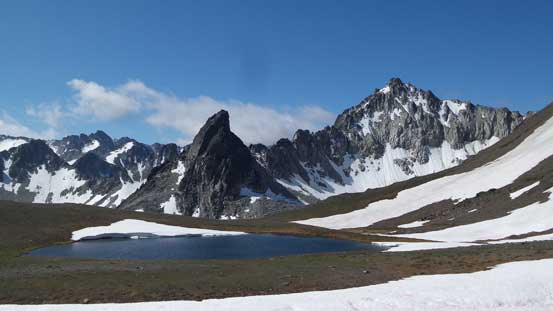
Another look at Faulty Tower and Linus Mountain

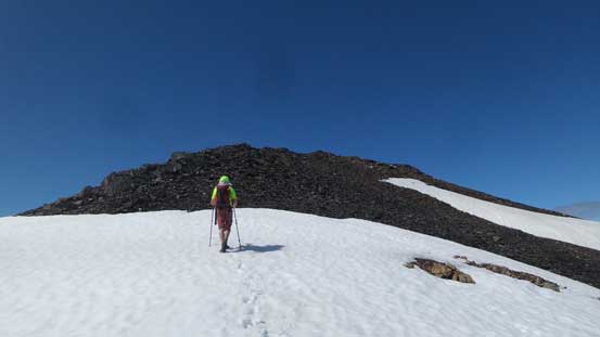
The scree looks so inviting. Let’s do it…
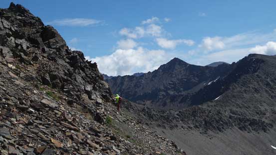
Marching up.
With good perseverance we eventually exited the face and merged onto the broad east ridge. The grade had eased so did the looseness. By now the views finally opened up and considering my last visit (Mt. Seton) was in a full white-out I was pretty stoked to see the peaks nearby. The summit is a broad platform with two highpoints. We tagged both just to be sure but I think the west bump is the true summit.

Merging onto the east ridge now. Full view towards Mt. Seton massif

Unnamed peak to the north down into Lost Valley Creek
The summit is not far away
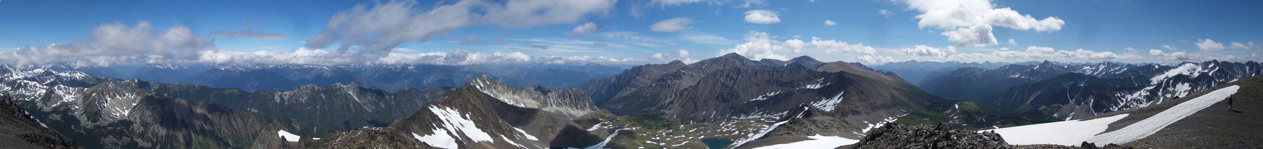
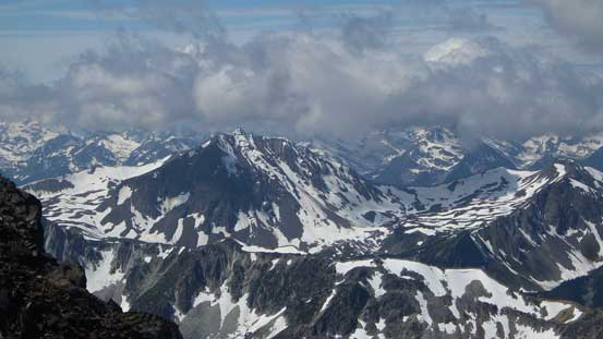
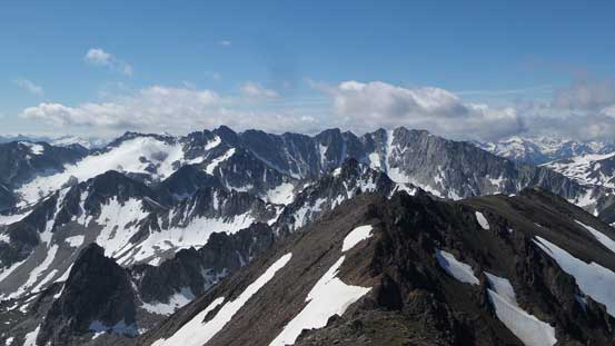
Partial Summit Panorama from Statimcets Peak. Click to view large size.
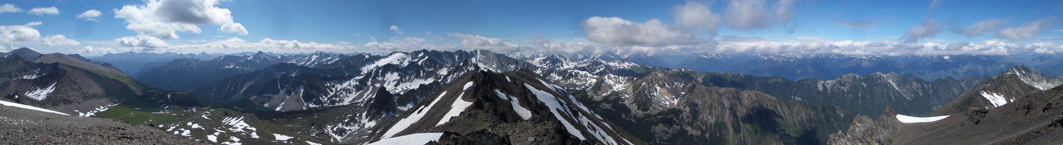
Partial Summit Panorama from Statimcets Peak. Click to view large size.
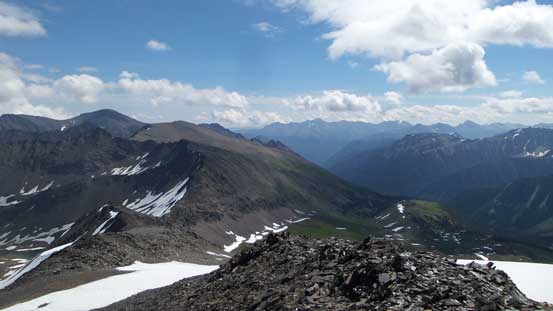
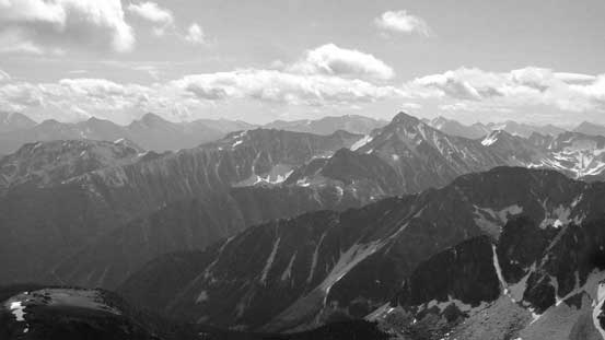
Looking back down the Downton Creek drainage
Mt. Seton dominating the east skyline
Mt. Melvin is that pointy peak – another giant in Downton area
This is Heylmore Peak
Lost Peak and Found Peak

Al and myself on the summit of Statimcets Peak
After a long summit stay we had to move on, and the next objective – Linus Mountain.
