The Nipple
June 25, 2020
2299m
Boston Bar / Kookipi Creek FSR, BC
The Nipple is actually an officially-and-aptly-named peak dominating the west side of Fraser Canyon not far from the small community of Boston Bar. The summit area boasts a rounded dome of darker coloured rocks which I assume is where the “nipple” comes from. From hiking and peak-bagging perspective this peak boasts more than 4000 feet of prominence and attracts both local and international baggers who are into this prominence thing. The ascent is however, mostly just a hike albeit the approach can be tricky and tedious. There are three options. The old approach goes up the north ridge from Power Puff Main but the road’s long gone. The ascents made in the last several years all came from the east side but the trips all involved some degree of horrible bushwhacking on overgrown logging roads. The third option is via the west slopes from East Kookipi FSR, mentioned briefly by Drew Brayshaw on Alan Blair’s recent trip. Alan and Katie had just ascended The Nipple and Mt. Laughlan via the east side approach and made the trip sound like a hell of sufferfest, so I was not keen on following even though it seemed like the “standard route” nowadays.
It seemed like doing the east approach in spring on snowshoes would be the most ideal plan, but for me it’s not just about The Nipple. I wouldn’t do this peak without also bagging the nearby Mt. Laughlan and the traverse to Mt. Laughlan would be tricky with snow. I was very happy to have seen Drew’s comments and I instantly decided to try it out two days after Alan’s trip. I reached out to Duffy and he reached out to Val, and the three of us grouped in Chilliwack on Thursday morning at 6:30 am. A few hours later we were driving on the increasingly rough Kookipi FSR that involved some slow crawling on rocks and water bars. The initial stretch of the East Kookipi FSR was actually better than the main road, but at 830 m elevation we encountered two boulders on the road. We tried to align the truck but my Tacoma was about 10 cm too wide. At this point we were about 4 km and 400 m gain to the end of road. Let’s walk.

Ascents of The Nipple and Mt. Laughlan from west. GPX DL
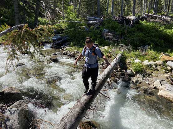
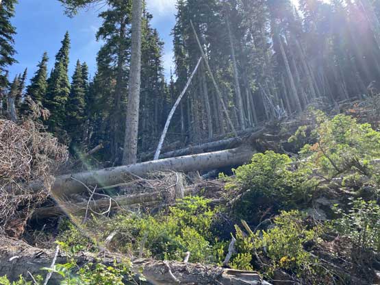
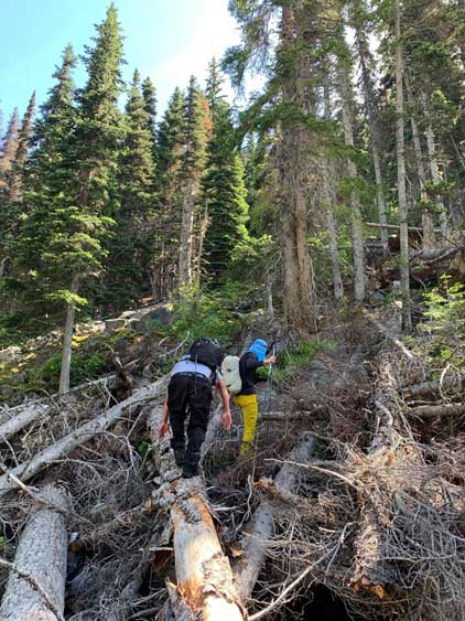
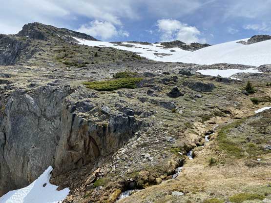
Immediately beyond the boulders we encountered a huge washout that’d probably stop my stock Taco anyway so we didn’t feel too bad about it. We had to find a spot or two to jump across the running stream in this washout. Duffy found a spot upstream while Val and I jumped across on the downstream side. The road was then in a great shape until it turned towards southward direction where we encountered one or two fallen logs. Generally speaking this road would be in a great shape for a 4×4, high clearance vehicle if these obstacles are removed but otherwise, it’s not driveable but in a great shape for walking. We encountered no brush whatsoever and despite the 400 m gain it was still a cruise. The bridge crossing the main stream to the west slopes of The Nipple was pulled unfortunately but there’s a nicely placed log. We then hiked southwards for another bits before making the decision to ascend the cut-block into the forest.
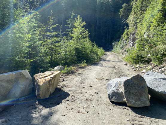
The boulders that stopped my Taco. Only 10 cm too wide…

Not sure how to drive across this washout neither.
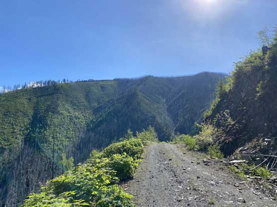
The rest of the road’s in a good shape
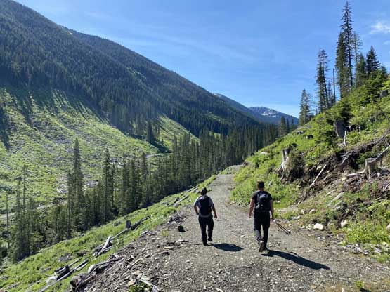
Easy walking despite the elevation gain and the heat
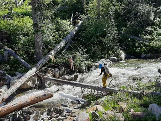
Me trying to cross the creek. Photo by Duffy
Duffy playing with his balancing game
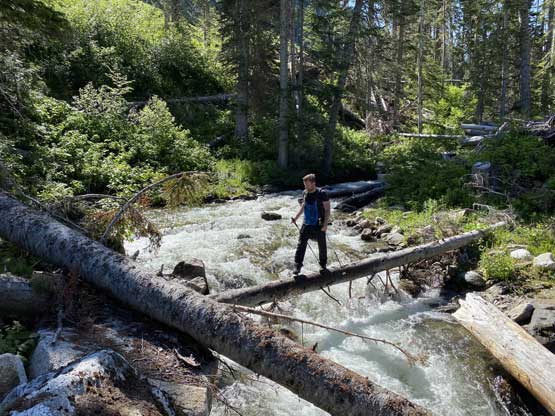
Val balancing…
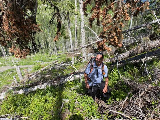
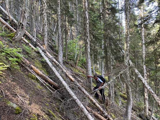
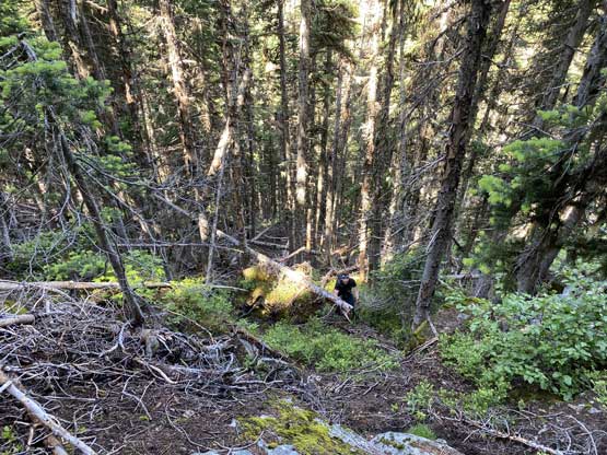
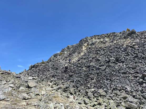
The cut-block was not very pleasant with wet and bramble types of plants and a shit ton of dead-falls. We traversed leftwards into the forest without even reaching the top of the cut-block and the next 200 vertical meters or so was still pretty bad. It’s super steep, slippery with dead-falls but on the bright side, we had zero alder in this trip. Once the terrain eased a bit near 1500 m the rest of the grunt onto the ridge crest at 2050 m was mostly in the open forest with minimal bushwhacking.
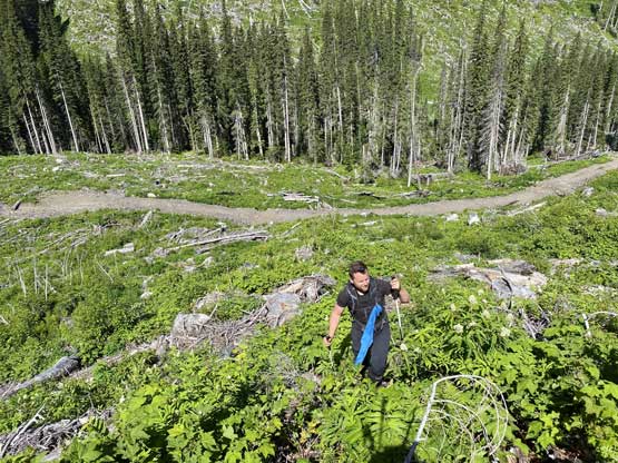
Val ascending the cut-block. It wasn’t very pleasant…
Duffy in the cut-block. It was slow going for a while
What a shit show…
Me and Duffy picking a line. Photo by Val
Duffy playing with his pick-up-sticks game..
Val bushwhacking up the steep forest

A deer teasing us…

Nice and open forest now…

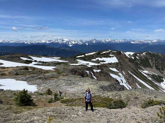
Val taking in the views

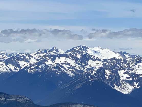
A super zoomed-in shot of Skihist Mountain – highest in SW BC
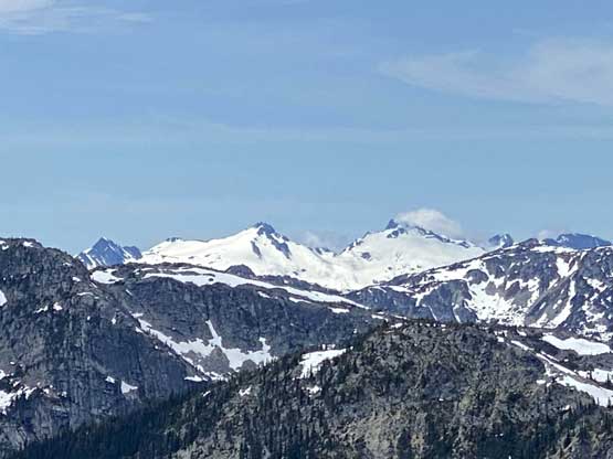
Surprise Peak (L) and Cairn Needle (R) might have seen only 1-2 ascents…
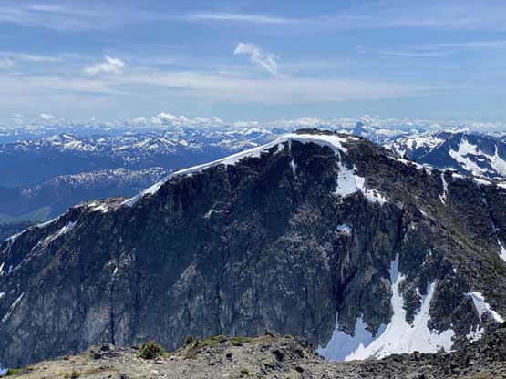
The north face of Scuzzy Mountain showed up.
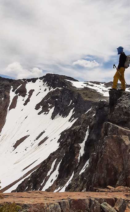
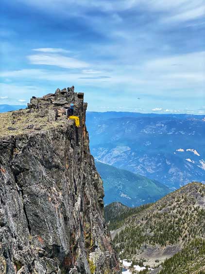
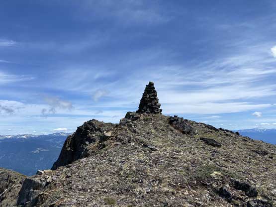
We took some breaks along the way soaking in the experience. The NW Ridge leading towards the summit had a few up-and-downs but was very scenic. It also had a lot of running streams to load up the water bottles. The last 100 m to the summit was a bit steep with some fun scrambling and the summit sure had a huge nipple on it…
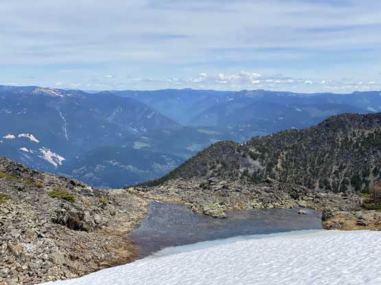
Lots of melt pools for water sources
Me on the ridge. Photo by Duffy
Nice and scenic ridge rambling
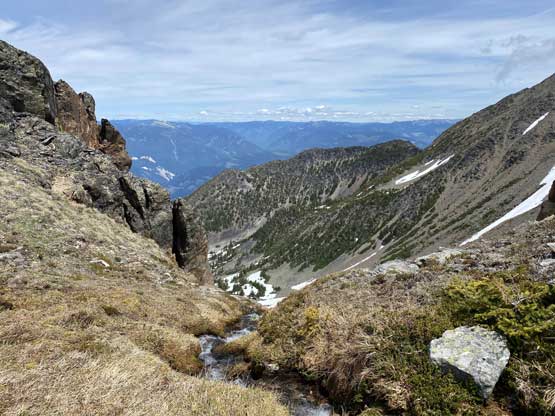
We loaded up water at this stream
Duffy with expansive vistas behind
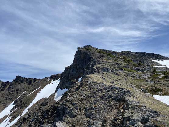
The last push towards the summit
Me doing some Instagram things…
The summit nipple…
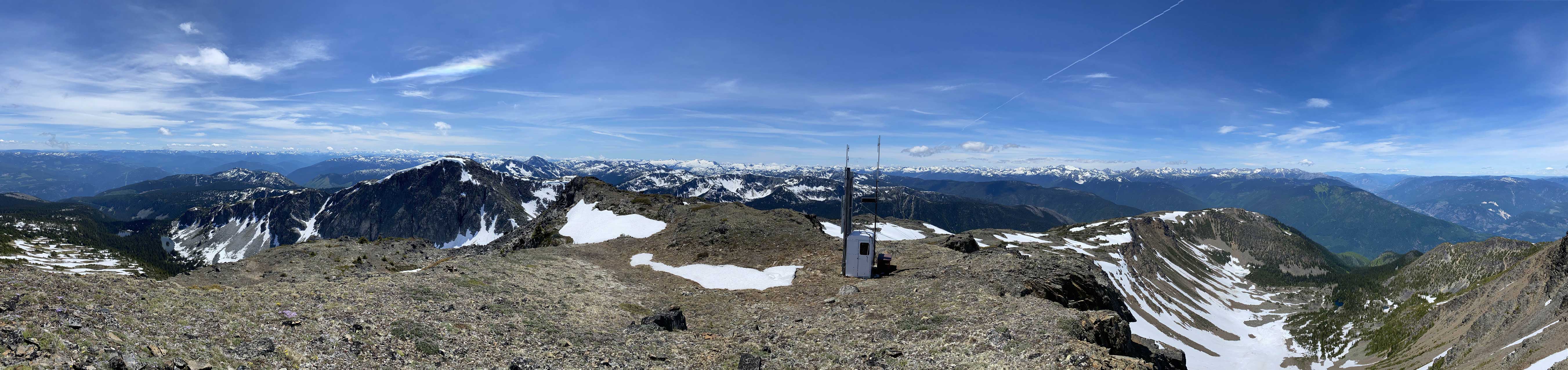
Partial Summit Panorama from The Nipple. Click to view large size.
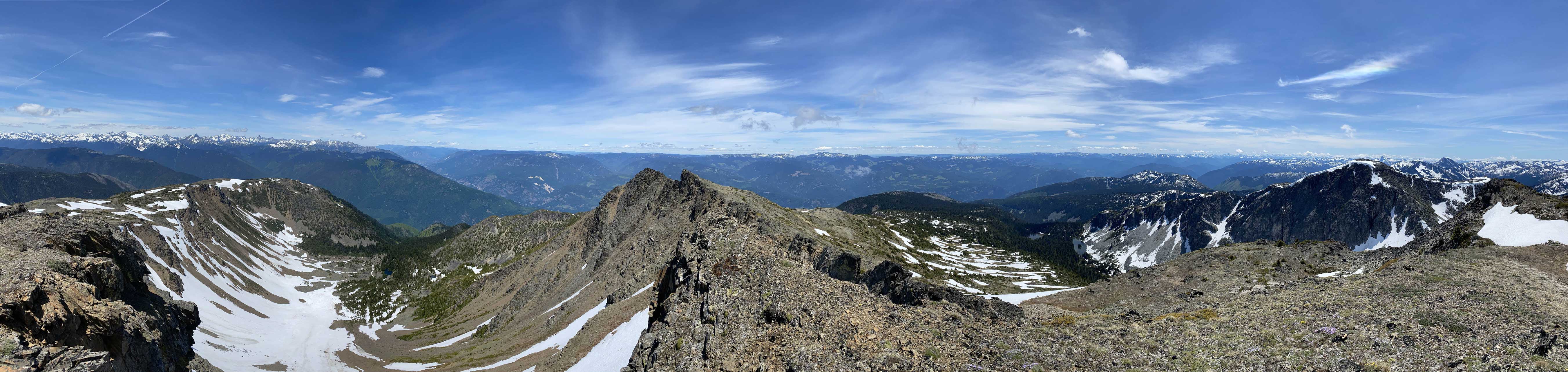
Partial Summit Panorama from The Nipple. Click to view large size.
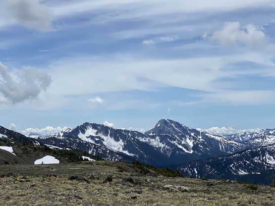
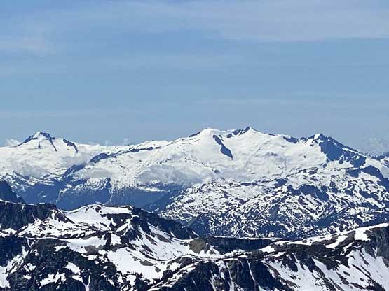
The north face of Mt. Laughlan
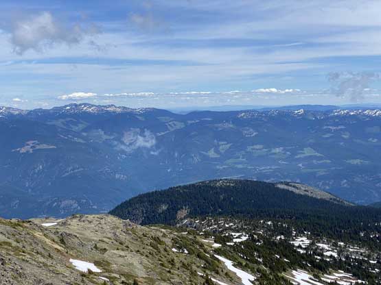
The east side of Fraser Canyon isn’t very exciting

Just some sub-summits of The Nipple
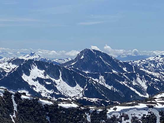
Mt. Breakenridge and Traverse Peak on the skyline
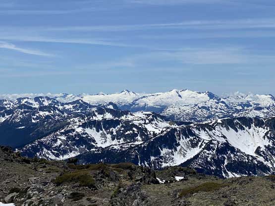
Kwoiek Needle, Skihist Mountain and Petlushkwohap Mountain

The area of Nikaia/Klowa to Stein Mountain
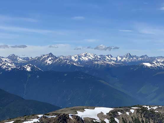
The remote Metatl Peak, Kumkan Peak and Kwoiek Peak area

Vista Peak, Surprise Peak and Cairn Needle area
A closer look at Traverse Peak
A closer look at Scuzzy Mountain
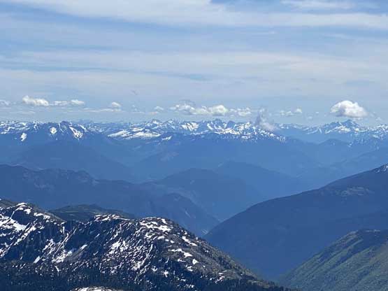
Fraser River cuts deep, more than 2000 vertical meters down in the canyon…
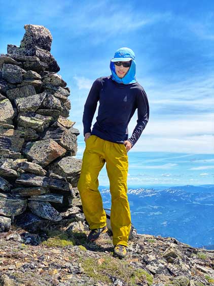
Me on the summit of The Nipple
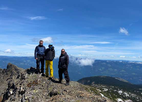
Three dudes on one nipple… Not bad…
At this point we were under 4.5 hours into the trip so the decision was made to continue to Mt. Laughlan. To get there we had to descend the SW ridge of The Nipple and I almost made a mistake for descending too soon. The terrain started to look a bit bushy and steep and the GPS confirmed that we had to traverse westwards over a few bumps before dropping down. We could utilize snow on the east side of the ridge to speed things up that in short time we were at Nipple/Laughlan col.
Descending off the darker coloured “nipple”
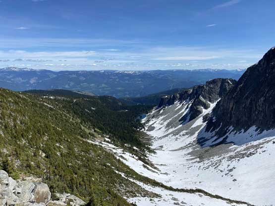
The valley between The Nipple and Mt. Laughlan on the east side
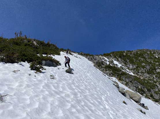
Descending snow was easy and fun.

The north ridge of Mt. Laughlan ahead. Our next objective…
And the trip continues with an ascent of the north ridge of Mt. Laughlan.
