Ilisapi Mountain
June 25, 2019
835m
Nunavik / Torngat Mountains, QC
Ilisapi Mountain is a dome-shaped summit that rises abruptly above the middle section of Koroc River like a prow, in the Quebec Torngats. This area is very difficult to access. Expensive air transport is needed to just get into the Torngats and getting to the base of Ilisapi Mountain is even harder because it’s on the south side of Koroc River. Eric, Yeuhi, Patrick and I did this side-scramble as part of the packrafting descent of Koroc River after successfully climbing Mt. Caubvick/Mt. D’Iberville the highest summit in both Quebec and Newfound and Labrador.
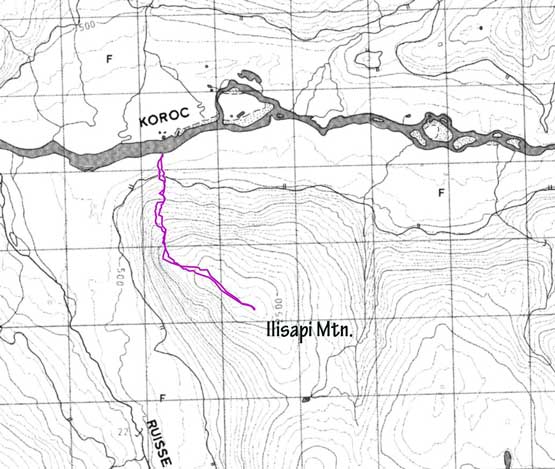
Scramble route on Ilisapi Mountain from Koroc River. GPX DL
There’s substantial bushwhacking from where we landed the boats on the NW flanks. The bushwhacking was sustained for a while but thankfully not overly long. Once exiting the bush we zig-zagged a bit to stay on the lowest angled route although the rock quality was horrible at places. There’s one stretch that we felt like ascending on a landslide.
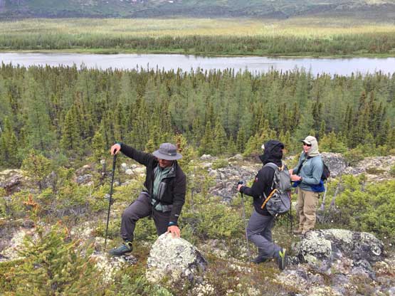
Starting the ascent in good spirit
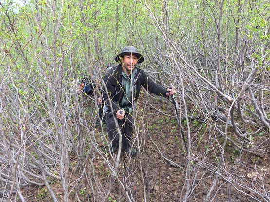
Patrick having fun bushwhacking in alders
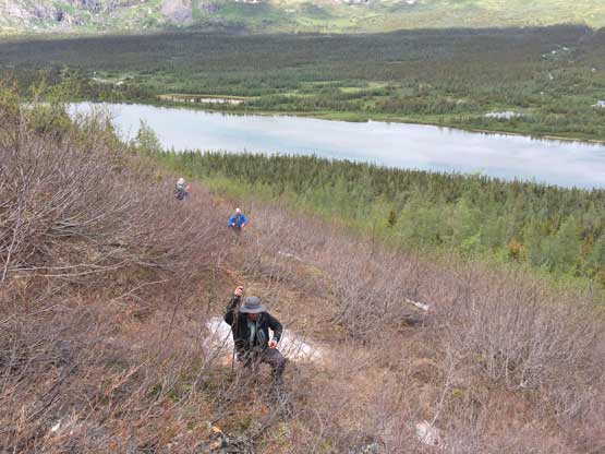
As you can see, the lower slopes aren’t very enjoyable

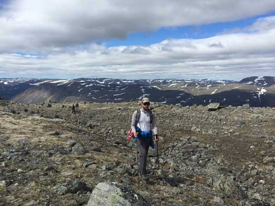
Eric taking a break after exiting the green zone
Above the loose zone the rock quality improved and the slope angle also eased. We were able to zig-zag on ledges and stay within “class 2” for the rest of the ascent. Once topping out of the very broad summit ridge we still had to plod over 500 horizontal meters to the highest point, where we found no cairn nor any sign or a previous ascent. I wouldn’t claim this as a first ascent though because I’m sure the Inuits had likely been up here many times in the past.

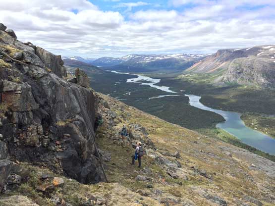
Midway up the mountain. We had to traverse across a few benches
Patrick opted to climb a vertical wall here for fun
Yeuhi on the summit ridge
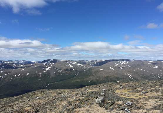
A view into Ruisseau Sukaliuk to the south

Summit Panorama from Ilisapi Mountain. Click to view large size.
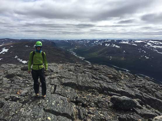
Me on the summit of Ilisapi Mountain
After staying there for about half an hour we leisurely started the descent. The view down into Koroc River valley was very expansive. I pretty much led the way retracing our ascent GPS track.

Time to head down. Note how broad and flat the summit ridge is
The clouds had cleared by now.
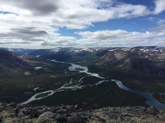
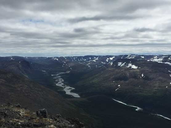
The very broad Koroc River valley that we’d paddle down in the next few days
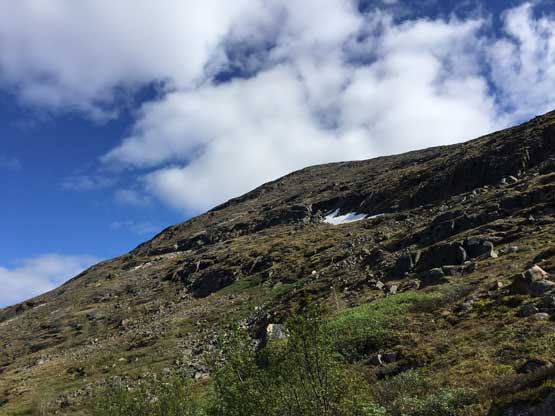
Looking back at the NW slopes of Ilisapi Mountain
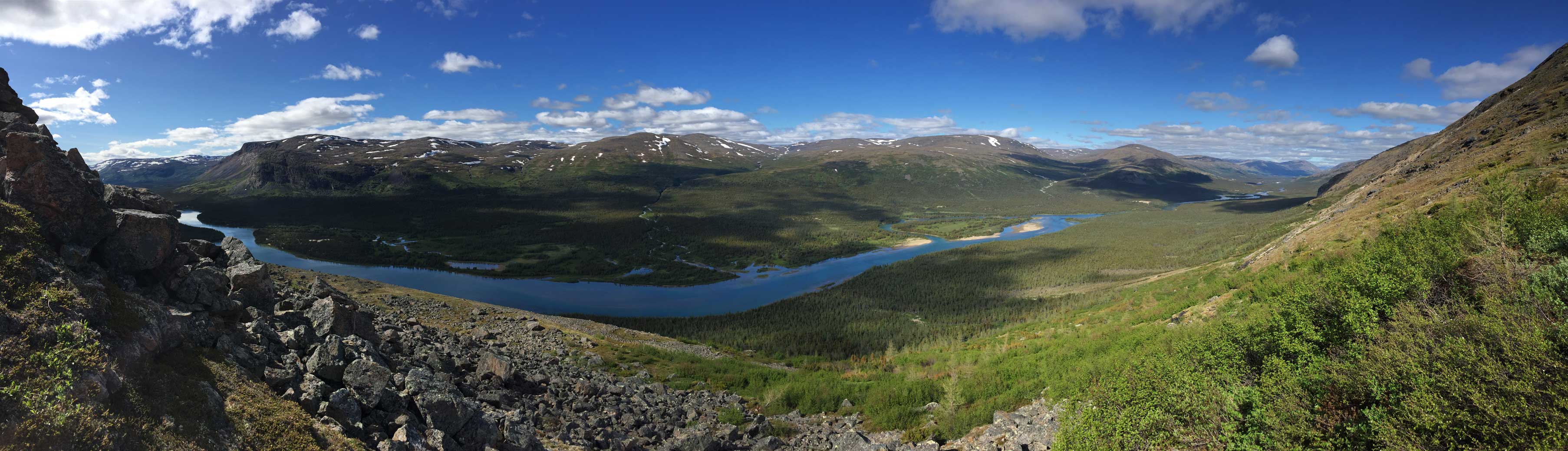
Panorama of Koroc River valley from the lower slopes. Click to view large size.

Bushwhacking is unavoidable
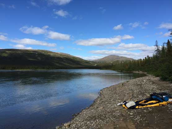
Back to the boat landing zone… Time to inflate them and start paddle
As much as a Type 2 slogfest went I would actually suggest this ascent if you have an extra half a day to kill while paddling down Koroc River.
