Cox Hill
April 28, 2013
2217m
Kananaskis – Jumpingpound Area, AB
After finishing Survey Peak and Brewster Rock in miserable wind the previous two days, I was short on motivation but I didn’t want to just go home yet, so I quickly went over a few Gem Trek maps, and locked my objective to the mighty Cox Hill. The ascent is mostly in the trees, and the peak is in the foothills. I was hoping to escape the nasty weather that hovers around further west.

Cox Hill hiking route
To get to the trail-head involves driving on gravel road, Highway 68 and part of Powderface Trail. They were in better condition than the more popular Smith Dorrien though. There were very few pot holes. I was the first guy parking at the trail-head. I thought it would be much busier since it’s Sunday. The weather was indeed much better here, and I could see blue patches of sky above me. One thing to note here is, Cox Hill is fairly long if you’re looking for a short day. Well, it’s not that long though, but since most of the slog is in the trees it surely feels longer. I was prepared for the boring slog so I packed my iPod which was indeed very useful. I think it was my first time going up a mountain while listening to music. Oh well, after a couple awesome big ascents in the past month, it was hard to motivate for something boring like this… If dry then it’s just a hike, but it wasn’t that easy for me. I immediately encountered ice on the trail. I highly recommend micro spikes (providing you have them), unless you’re comfortable with icy condition. I didn’t bring crampons but I packed snowshoes which could come handy if the ice becomes continuous.

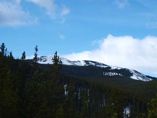
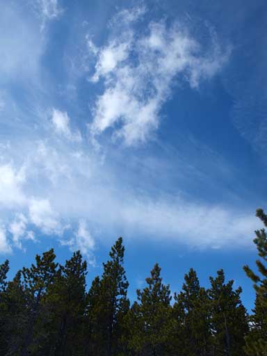
I stopped on Highway 1 taking some photos. The clouds were neat

Another photo from Highway 1
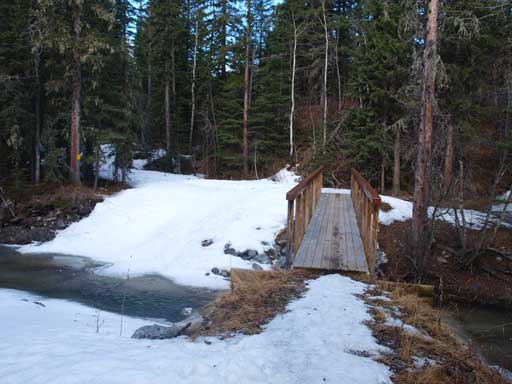
You will cross this bridge not far into the trip.
It was still very wintery in Kananskis probably because of the big dumps in the past few weeks. I was following hardpacked tracks so I didn’t need to strap snowshoes on until quite high. I definitely needed snowshoes on this day. Without them I wouldn’t even make to treeline. Since I was following tracks, route-finding was non-existence, and plus I was listening to music, there was not much to say except there are a few up-and-downs along the way. Near the false summit you will encounter a meadow area that’s steep enough to slide if loaded. On this day there wasn’t enough snow to slide, and I quickly made my way up to false summit, where the wind all the sudden picked up. The view was surprisingly good from this vantage point. I especially like the trees with frost on. A quick windy traverse brought me to the true summit which was ironically, partially treed.

An interesting tree
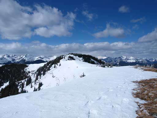
Cox Hill is still quite far away!
Beautiful sky!

As you can see, it’s definitely a snowshoeing trip, not hiking..
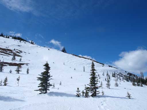
The big open slope just before false summit
If loaded this area has avalanche potential
The other side is just the endless prairie
There’s a snow-scoop thing. Beautiful views behind
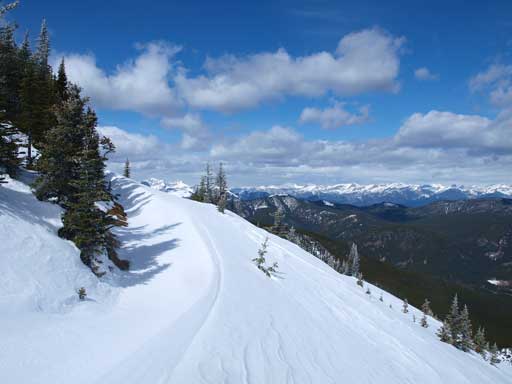
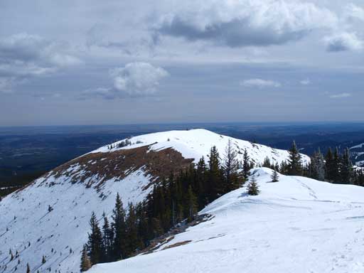
True summit from false summit

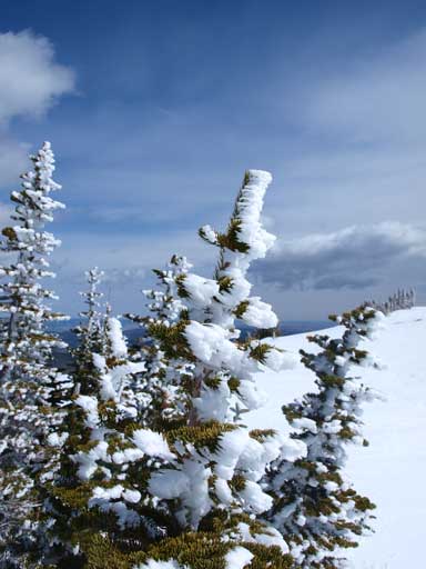
Beautiful tree!. The frost made things more unique
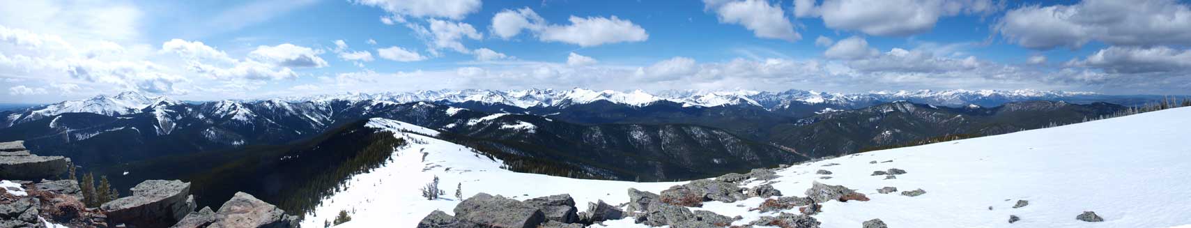
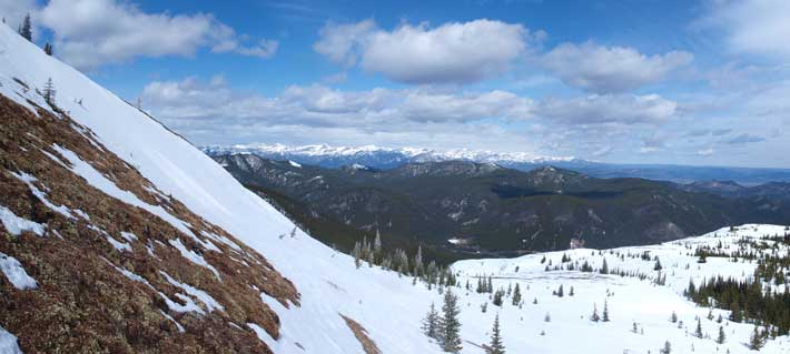
Partial panorama from the summit. Click to view large size.

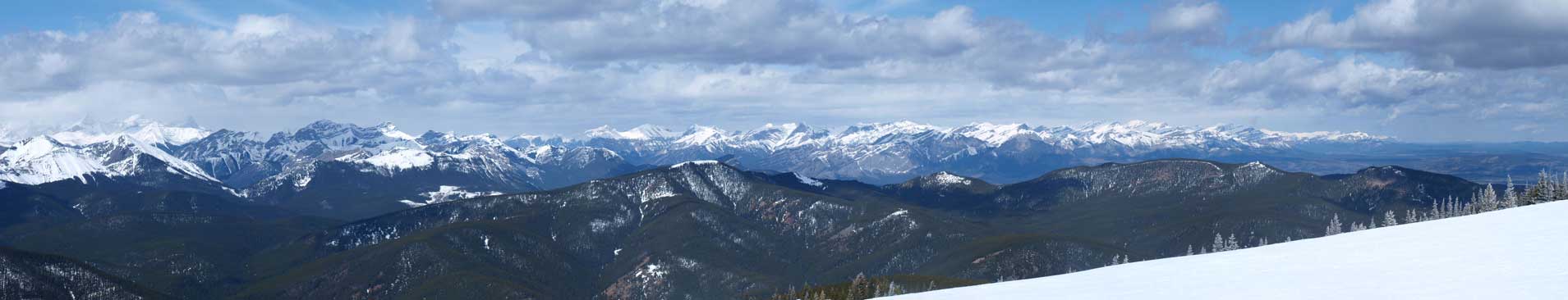
Panorama of Elbow Area: Banded, Glasgow, Fisher, Howard, Bryant, Tiara, Belmore Brown. Click to view large size.
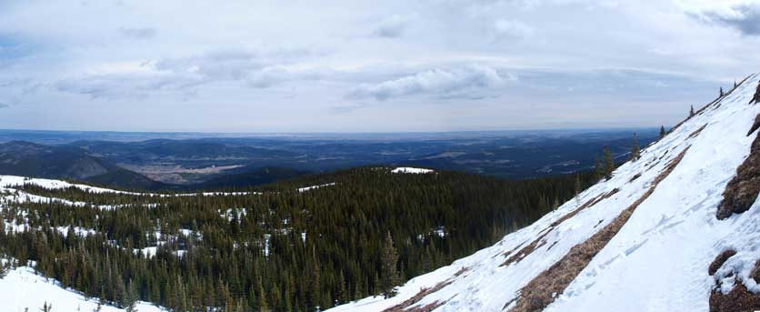
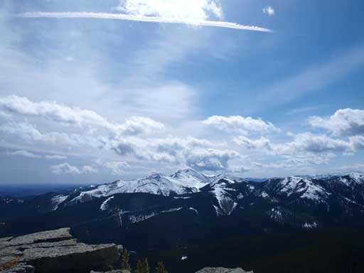
Panorama looking NW. In the distance are peaks north of Bow Valley
Moose Mountain and some interesting clouds

Me on the summit
Looking back towards the false summit

More beautiful trees
This photo clearly shows the wind in this area.
I didn’t linger any longer due to the wind and the lack of motivation. During the entire weekend I kept thinking and planning whatever that will come next. I know my season will not end at Mount Wilson. There is still one month, and I have to get ready. I speeded up a bit on the descent. Didn’t time myself though. 4 hours ish? Maybe.
I drove to MEC Calgary and grabbed an advanced bivy sack which was the last “must-have” thing for winter-camping, and my ski boots were proven to be okay. I drove back home afterwards. Now what I need to do is to rest, and get psyched for the next high pressure system, for some real style ski mountaineering!
