Prairie Bluff
April 5, 2014
2256m
Castle Wilderness, AB
About a week ago Grant (Granticulus) invited me to bag a couple short and easy summits on this past Saturday. He gave me the freedom to pick objectives but they had to be west & south of Calgary, in other words, not in Jasper.. As usual, I would wait until the “last minute” to make the choice. The condition and weather had improved a bit but not by too much. The avalanche hazard was still “considerable” for all areas and destructive slides had been happening all the time. Judging by this year’s general condition I had low confidence on bigger stuffs.
The south Rockies is a truly beautiful area. My last time visiting Castle/Waterton was more than 1.5 years ago and I was glad to be finally back. Prairie Bluff was the first objective and the most scenic among the three that we bagged in this day. For the ascent there’re quite a few options. Our reference was Sonny and Bob‘s trip reports. They traversed it but we decided to go up and down the shortest route for two reasons – the howling wind and the fact we had to save energy for the 2nd and 3rd objective.
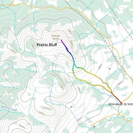
Prairie Bluff hiking route. GPX DL
Forecast was calling for “increasing cloudiness by late morning” so we had to take full advantage of the morning hours. We woke up at 3:30 am in Calgary and drove a long ways down to Pincher Creek. Apparently we were a bit too early so killed half an hour in the Tim Hortons before driving down Highway 6 and then westwards on Highway 505 towards the East Castle. It’s my first time on Highway 505 and the views were expansive even on the road. We had a perfect timing for alpenglow. There wasn’t a proper parking lot so we just found a random spot to park.
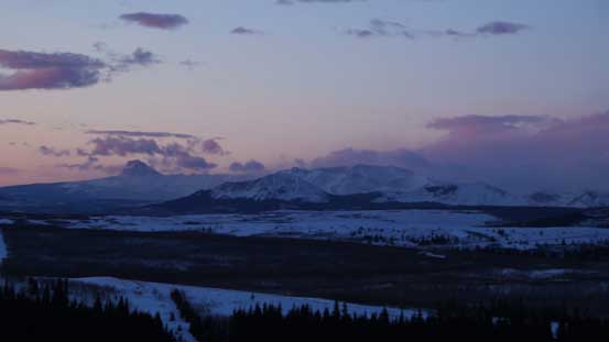
Chief Mountain in the far distance

Almost sunrise!
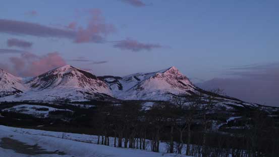
Our objective, Prairie Bluff
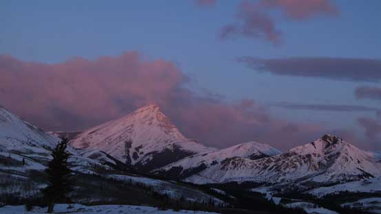
Victoria Peak at alpenglow
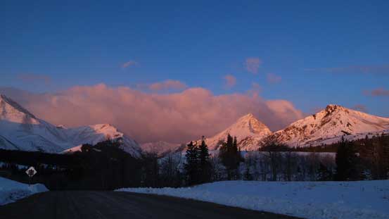
What a view from even just the road!

A closer look at Prairie Bluff
Comparing to Sonny and Bob’s trip, we encountered a whole lot more snow. We had to strap the snowshoes on right from the start. Towards the base of the steep south slopes we contoured a bit towards climber’s left. I picked the scree route which turned out to be quite miserable – very steep, loose and foreshortening. Grant decided to snowshoe up the snow line which was fast and fun. As a result he was quite a ways ahead of me for the remaining ascent. I speeded up for as fast as I could but didn’t manage to catch him up.

Snowshoeing in the morning
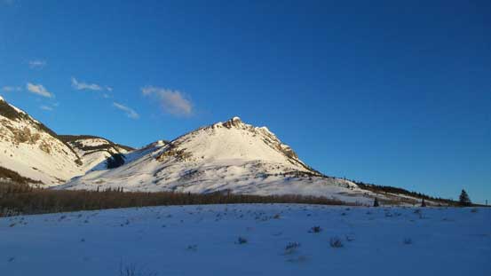
We ascended the left side
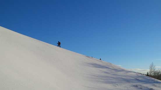
Grant snowshoeing up a snow ridge

Typical vegetation. There’s no bushwhacking
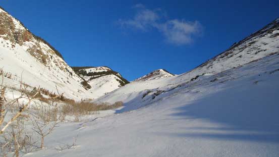
Beautiful valley

Ascending the steep slope.
Wind picked up considerably once hitting the summit ridge. The views also opened up but the howling wind prevented us from taking time to soak them in. The higher we went the crazier the wind got. After seeing the rest of the ridge I decided to ditch the snowshoes but they almost got blown away in 1 second. So I had to keep them in my backpack. The summit ridge was also very foreshortening and took us a long time even on a fast pace. This summit was also higher than expected. It’s apparently not as “lowly” as the foothill bumps. The elevation gain is 700 m and that’s comparable to the nearby Table Mountain, an objective in Nugara’s More Scrambles book.

Victoria Peak started to poke behind
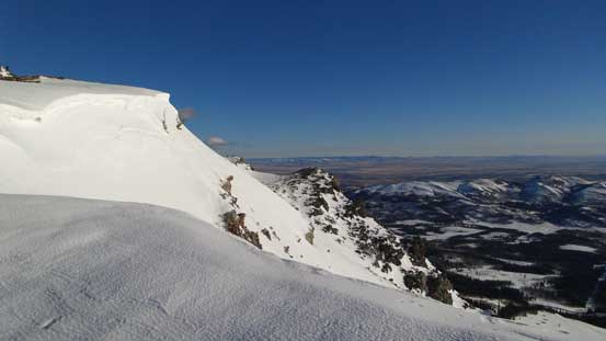
Cornices on the summit ridge
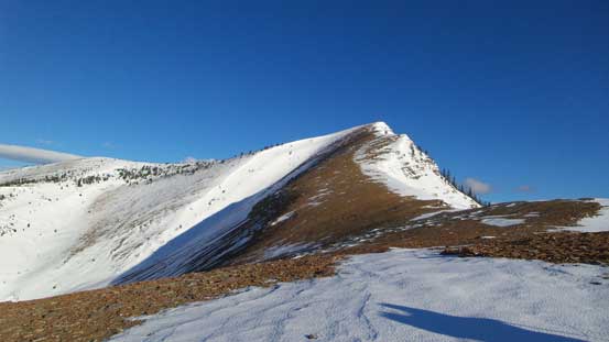
The ridge is foreshortened

Looking back
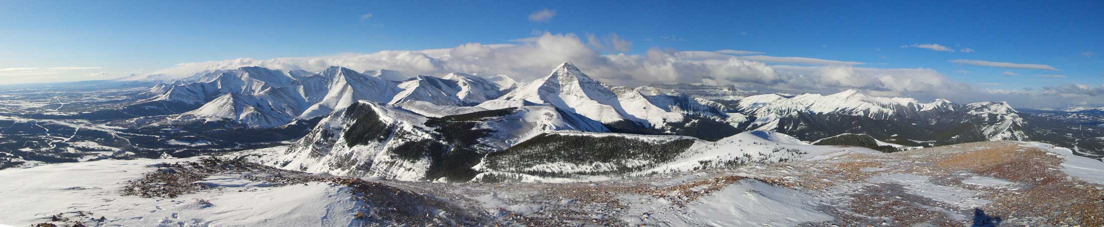
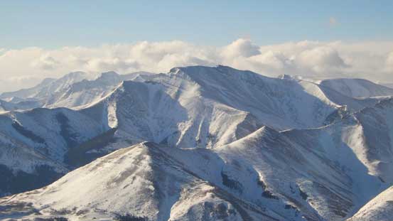
Summit Panorama looking towards the mountains. Click to view large size.
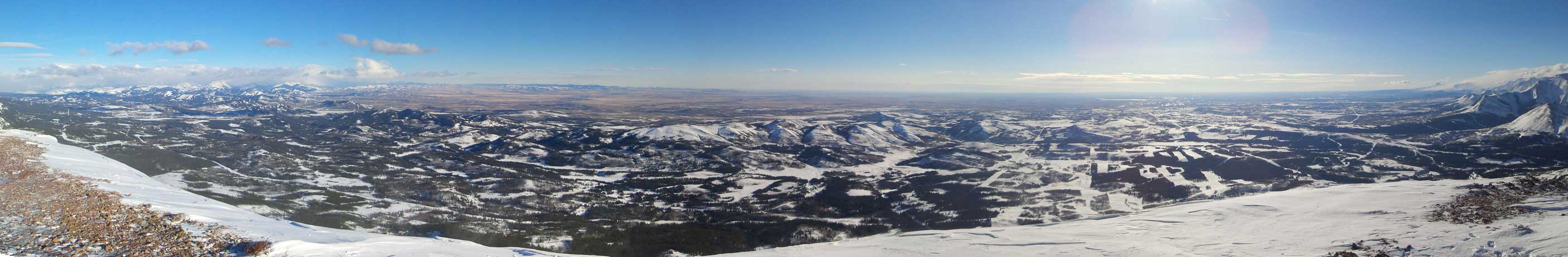
Summit Panorama looking towards the prairie. Click to view large size.
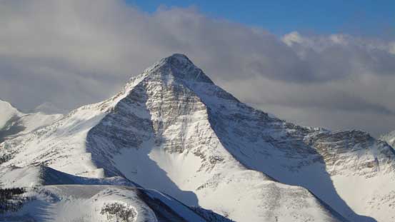
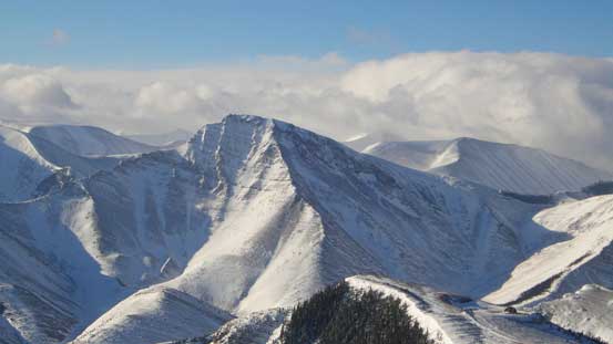
Victoria Peak
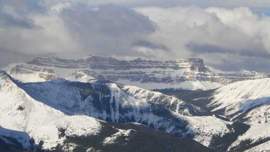
Windsor Mountain and Castle Peak
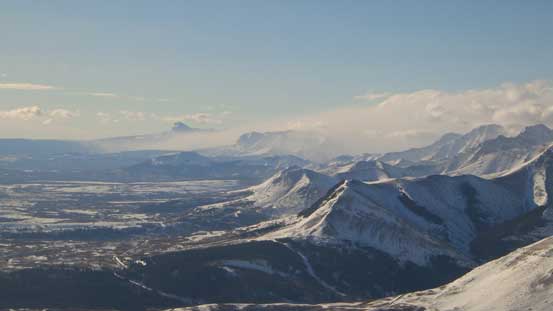
Chief Mountain in the distance.
Victoria Ridge somewhere there.
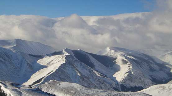
Pincher Ridge
Drywood Mountain
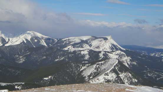
Table Mountain

Me on the summit
After snapping the obligatory summit photos we ‘ran’ down the summit ridge in order to escape from the wind. Grant’s toque even got blown off but thankfully he somehow managed to retrieve it which was quite lucky. Down the steep south slopes we used snow for as much as we could to save our knees, and then leisurely walked back to the car. Our round trip time was 2 hours 50 minutes on a furious pace.
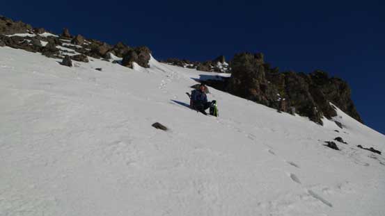
Grant descending snow
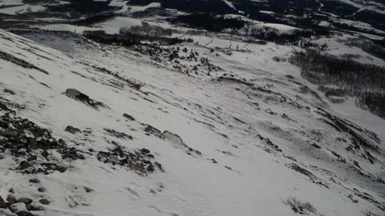
Looking down the south slopes
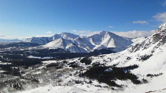
Drywood Mountain and Pincher Ridge from the descent
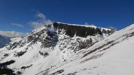
Part of Prairie Bluff. If you do the traverse then you’d go over it.
Prairie Bluff turned out to be a much nicer objective than anticipated. I’d recommend it to everybody looking for nice views and at the mean time, an easy day out. But keep in mind the steepest slope is probably approaching 35 degrees so if loaded then it’s definitely avalanche terrain. Judging by the orientation and location I think it rarely holds a lot of snow but there’s no guarantee until you see it from the parking area. Plan a secondary objective and be flexible with plans. On a calm day I’d also recommend doing the loop as what Bob and Sonny did. Since we had the entire day ahead of schedule we had to do another objective.
