Fisher Peak
August 11, 2012
3053m
Kananaskis – Highway 40, AB
About 2 weeks ago I bumped into Grant (Granticulus from ClubTread) on Mt. Burstall and through some brief discussions we found we had lots of similarities regarding peak-bagging. A plan was made that we’d team up to tag one of the harder objectives in Alan Kane’s Scrambles in the Canadian Rockies and after some debates we opted for Fisher Peak. This is rated as a “climber’s scramble” with two exposed and tricky down-climbs near the summit, and on top of that, it’s described as a very long day even for parties with bikes. I never biked in the mountains so that’s not an option for us, so all in all we knew it’s the challenging day that we were looking forward to.
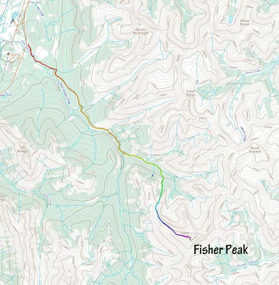
Fisher Peak scramble route. GPX DL
The forecast was calling for “a mix of sun and clouds” but as we drove into the mountains I wasn’t feeling particularly optimistic. I didn’t see a piece of sun and almost every mountain was soaked in… Thankfully Grant was optimistic as he had more experience regarding white-outs and thunderstorms, so off we went from Even Thomas trail-head at 5:40 am, and right away Grant set up a blistering pace and I was struggling to keep up with.. The trail was rough at places thank to the recent flooding and the horse traffic. A few side branches created some confusion but by following the main trail we didn’t get lost, and soon enough we arrived at the creek crossings. Grant managed to hop the first one while I took a more conservative way – fording on bare feet. Just before the supposed second creek crossing we opted to ascend straight up the forested slope to hit the broad north ridge. The bush was not as bad as we thought but the entire section felt very foreshortening.
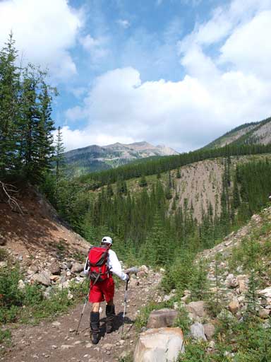
We didn’t get much view on the ascent. This was still in the trees.
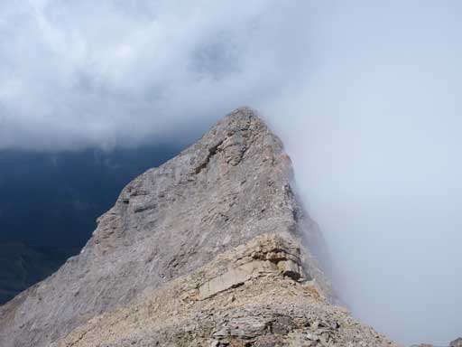
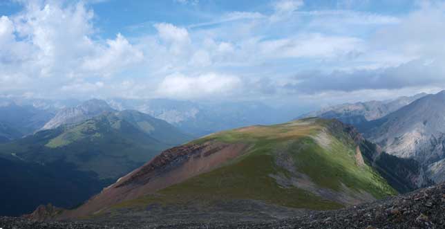
The visibility was bad by the time we topped out on the north ridge and we weren’t exactly sure where we were at. But as usual for a ridge climb we just had to go upwards… The plateau ahead was a bit mossy and felt like post-holing… Even now we still couldn’t see the upper mountain hidden in clouds, and immediately we had to lose some elevation. From here on, it was a talus/boulder fest. We just had to keep slogging up and eventually the ridge started to get narrower with increasing drop-off on climber’s left. Not far after that we arrived at the first crux down-climb. By this point, we got better view towards north (Kananaskis Village direction), but the summit were still covered.
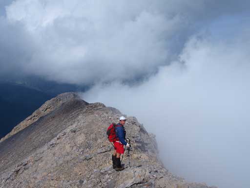
Grant on the broad north ridge
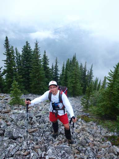
Marching up…

Some typical views with clouds coming in and out
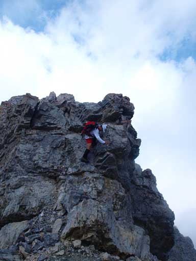
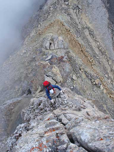
The first crux didn’t appear as nasty as I was expecting. But don’t get me wrong, it’s still a very exposed down-climb, just not as steep as I thought it’d be. I opted to descend directly from the “nose”, and except for the first few moves I felt the rest was quite straightforward. There’s some route-finding in the micro-terrain but I felt it’s pretty easy to spot the easiest line. Grant followed my line down and also had no issue with this. Immediately after this we had to face with another down-climb, albeit much shorter.

Me looking down at the first crux. Photo by Grant

Grant looking down the 1st crux.
Grant down-climbing the second part of 1st crux.
After this bit of fun, we started the trudge towards the false summit. Why I say false summit? Because according to Grant’s altimeter, we still had quite a long way to go. So the one ahead must be false peak. Once up there, the second crux waited for us. Compared to the first one, this is shorter, as exposed, but involves one long reach (according to Alan Kane). I didn’t notice that long reach while down-climbing, but did realize that move while climbing back up (on the way back). I would say, this is as difficult as the first one. After this part, we had to balance over a short, but exposed ridge section, and then another short but difficult down-climb followed. Then, the final trudge up talus slope brought us to the summit, the highest mountain in Fisher Range. Ironically, except for the cairn, the register and ourselves we couldn’t see anything else… Ascent time: 5 hours 15 minutes, without bike.
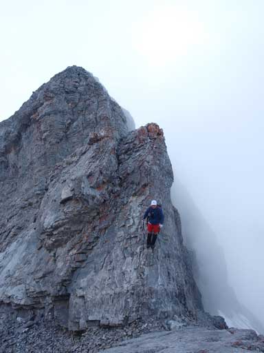
Grant negotiating the 2nd part of 2nd crux.
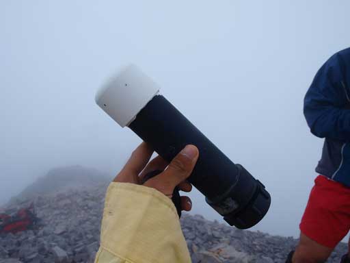
The register helped us confirming our success.
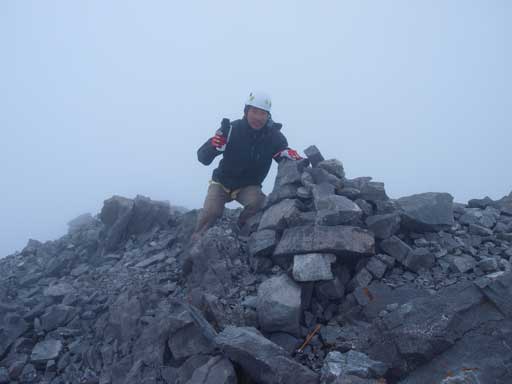
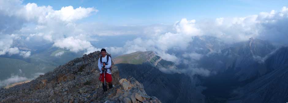
Me on the summit.
We waited for more than half an hour on the summit but there was no sign of improvement in the weather. Grant didn’t bring extra closing so we had to get moving. Plus we all had the concern about thunderstorm in afternoon. The entire north ridge is exposed to lightning so we had to descend quick. The cruxes were more fun to ascend and we all thoroughly enjoyed the scramble.
Looking at the 2nd crux. The sun temporarily came out.
Grant going up the 1st part of second crux.

Me climbing up the second crux. Photo by Grant

This is that long reach I was talking about. Photo by Grant

The exposed ridge between 2nd and 1st part of 2nd crux.

Grant climbing up the second crux
A good rest between the two cruxes.

The clouds made this mountain looking big.

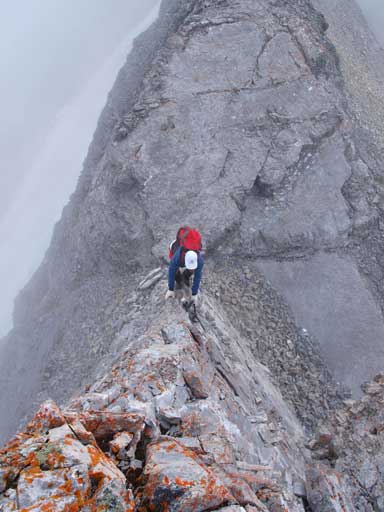
Me finding my way up the first crux. Photo by Grant

The most exposed move on first crux. Photo by Grant
Grant climbing up the 1st crux
Now what.. The fun parts had gone, and the rest of the day? One word to describe: tedious… On the way up I already noticed the entire route was solid, and therefore, the every step going down should be all on the knees. The terrain was mostly talus and boulders. We took our time and carefully made our way down the north ridge. The summit was still in the clouds so we didn’t regret coming down anyway. We took a slightly different line down from the north ridge, and, big mistake… This line was full of boulders. We soon traversed to our original line and we tried to use grass for as much as we could. Once reaching treeline, we bushwhacked diagonally down towards more skier’s right. We popped out on the trail just 10m downstream from our leaving point in the morning. Now, a tedious 10km walk back brought us to the car and it was very boring and tiring.
Weather cleared up a bit as we losing elevation.
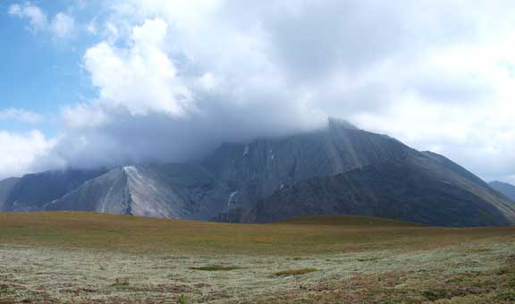
Looking back at Fisher Peak which was still in the clouds
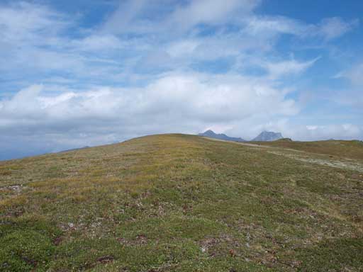
At the grassy plateau.
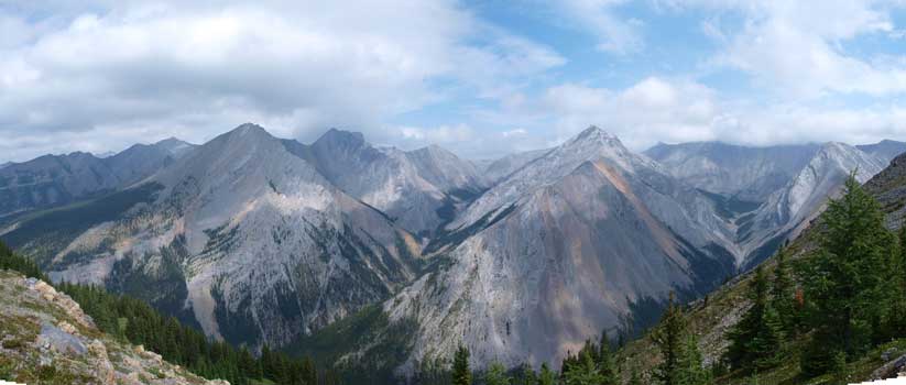
Impressive peaks in Fisher Range. Too bad they are unnamed..

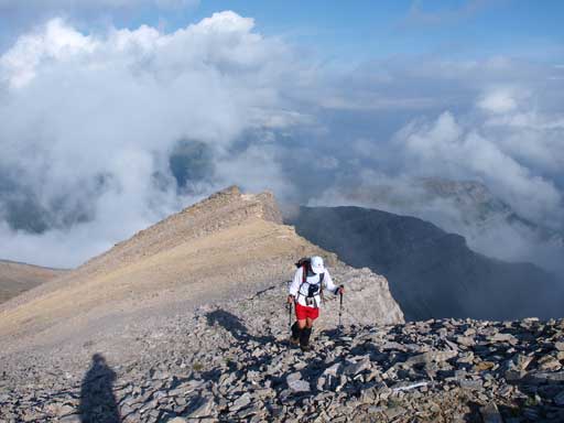
Grant ready for the talus slope descent.

This is the boulder field/talus slope we just came down…
Finally back to Evan Thomas Pass Trail. Still had 10km to go…
Our ound trip time was 10.5 hours including all stops and I have to say that it’s a very satisfying ascent despite the fact we didn’t get much views. Fisher Peak is one of those major, and difficult objectives in the front ranges and it’s more about the destination than the views. And then the next day…
