Church Mountain (BC)
October 12, 2016
1709m
Chilliwack / Cultus Lake Area, BC
Not to be confused with the more-impressive Church Mountain a mere dozen kilometers or so down south in Washington state, this one is a low forested bump on the west side of Tamihi Creek in Chilliwack Valley. The access is via Vance Road and Liumchen East FSR from Cultus Lake and requires a high clearance 4×4 vehicle (or ATV for that matter).. The primary objective in this trip was Liumchen Mountain and the ascent of Church Mountain was nothing more than just a short diversion from our main path. It’s right there, so why not…

Ascent route for Liumchen, Church, Old Baldy and Windy Knob. GPX DL
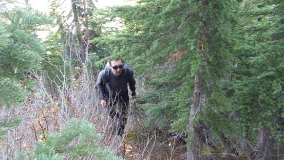
On the way back from Liumchen Mountain we felt there’s no need to re-ascend “Old Baldy” and instead we had previously spotted a nice line to short-cut our elevation regain. From the shoulder south of “Old Baldy” Vlad led a line dropping straight towards Church/”Old Baldy” col, and apart from some steep frozen ground and minor bushwhacking it worked well. The slippery and frozen ground did require some caution though as the grade was pretty steep overall, but there’s lots of vegetation to grab and overall pretty short-lived.
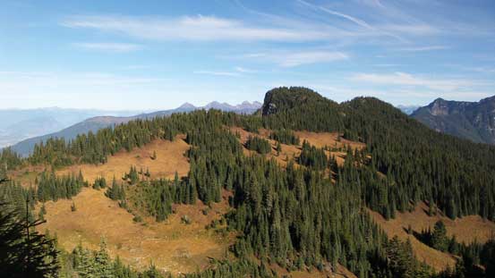
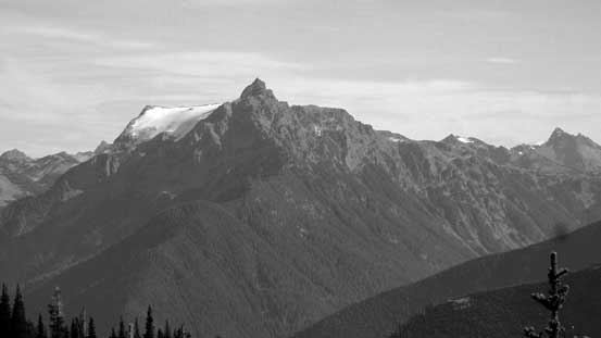
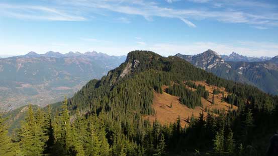
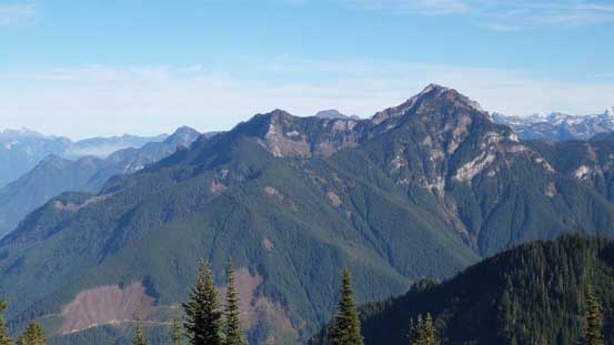
Church Mountain seen from the south shoulder of “Old Baldy”

The Border Peaks and Mt. Larabee looms behind the headwater of Tamihi Creek
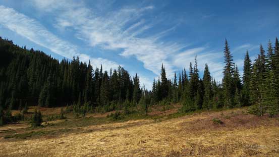
The col between “Old Baldy” and Church Mountain is a large meadow and from there it’s a simple game of putting one foot in front of the other. We did pick up the “trail” but it’s intermittent and hard to follow. The direction was clear though (just follow the broad ridge spine up). The views were pretty limited from the summit by there was a cool tarn (frozen) for some pictures. The time was getting on and we couldn’t linger too long up there.
The col between “Old Baldy” and Church Mountain is a flat meadow
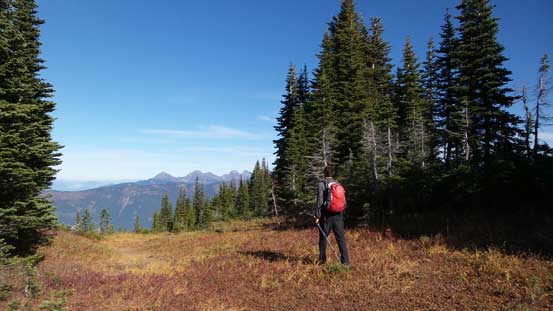
Vlad plodding towards the summit of Church Mountain

As you can see, the summit of Church Mountain is mostly forested
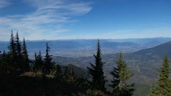
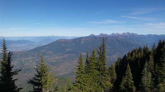
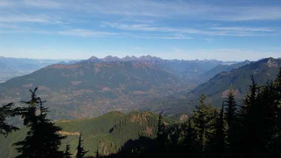
Walking around we did sneak in some views towards Fraser Valley
The peaks on Cheam Range with the broad Elk-Thurson-Mercer Ridge in front
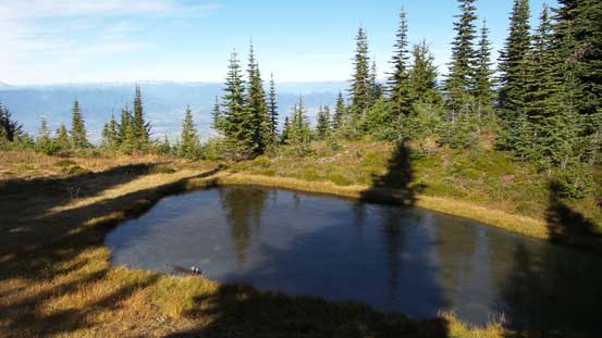
It’s that frozen tarn

Mt. Judge Howay

Mt. Clarke (L) and Grainger Peak (R) west of Harrison Lake

Peaks on Cheam Range – Knight, Baby Munday, The Still, Welch and Foley from L to R

Another look at the Fraser Valley
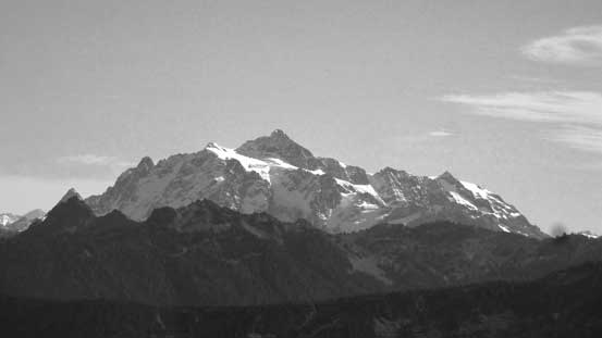
Mt. Shuksan
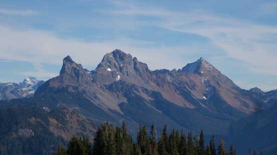
The Border Peaks (Canadian and American) and Mt. Larabee

Mt. McGuire with the pointy Slesse Mountain poking behind
The bulk of Tomyhoi Peak
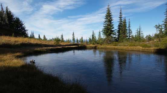
Another picture of that frozen tarn

Vlad and myself on the summit of Church Mountain.
Descending the broad and gentle west ridge to Church/”Old Baldy” col was easy peasy and up towards “Old Baldy” we correctly located the trail. This trail led us ascending and traversing on the climber’s right (NE) side of “Old Baldy” without going back to its summit. This was nice as we were both tired from the constant up-and-downs in this trip. Once onto the north ridge of “Old Baldy” we simply followed the trail down and then joined the main branch coming from Liumchen Lake. Down to a broad forested saddle and up again our next stop was the summit of “Windy Knob”. This was nothing in terms of an impressive summit, but only 10 minutes away from the trail.
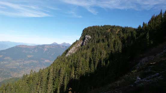
Time to go down, looking back towards the forested summit of Church Mtn.
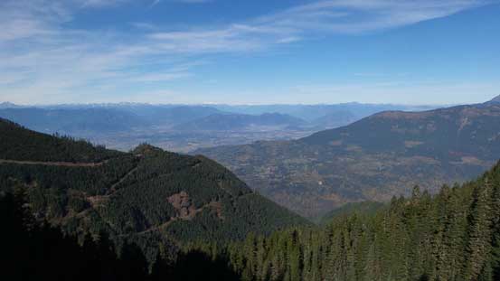
Fraser Valley again
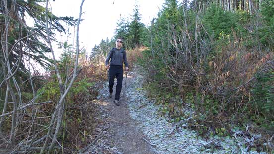
Plodding up the trail to intersect the N. Ridge of “Old Baldy”
Looking back at Church Mountain
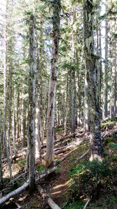
The typical forest travel
Ahead is the short diversion to tag “Windy Knob”
Mt. McGuire
Chilliwack Valley from the summit of “Windy Knob”
The summit of “Windy Knob” did offer some unique views of the Chilliwack Valley so it definitely worth the short detour. Checking my GPS I made the call to short-cut our descent by going down the NW flanks of “Windy Knob” to directly intersect the trail. The forest was steep based on earlier observations but the trail was only 100 m away, so worth to check it out. It turned out that it was a fast process with very minor bushwhacking involved, and once joining the main trail the rest of the return back to my Jeep was uneventful.
Descending the trail/ATV road
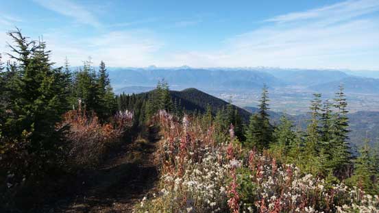
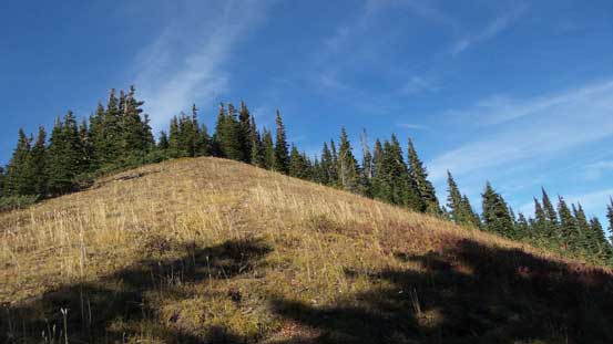
Nice and open ridge walk. This was only 10 minutes from the parking lot.

Almost done, looking back.
It was 3:30 pm and we had about 2.5 hours to get back to Surrey before the 6-pm deadline. It wasn’t late but not too early neither so we wasted no time but starting the logging roads descent. It always felt easier to drive down a rough road for some reasons, but that could due to the fact I was driving with daylight now so could see farther ahead. To our great relief there wasn’t any dude driving up while we were going down given the single-lane nature of this road, but once down to Vance Road there were lots of dirt bike and ATV activities. The traffics on the Trans-Canada Highway was tolerable and we did get back in time, and that concluded another great day in the hills.
