Apodaca Peak
April 28, 2022
488m
Bowen Island, BC
“Apodaca Peak” is the unofficial name of the highest point in Apodaca Provincial Park on the southern half of Bowen Island. This is one of the three peaks on Bowen Island that boasts over 300 m prominence. “Apodaca Peak” had been included in the Bagger Challenge list but they took it off in 2022. The rumor is that they decided the area needs some “conservation” but that’s not something I care to know about. Over the past several years the baggers had tried different routes on this peak. The most obvious attack is from the NW but the dirt roads (visible on satellite images and labelled on Gaia map) are blocked by private property signs with aggressive languages. Even if one dares to trespass the private property the bushwhacking on the upper NW flanks is reported to be character-building making this peak one of the worst “dumpster-dives” ever. Thankfully someone else explored a route from the south and reported on the Bagger Challenge forum. This southern approach has the least private property issues and the bushwhacking is not nearly as bad. The downside is the starting point being much farther meaning the bike ride from Snug Cove is longer and more tiring. However, if one does not mind to pay some extra cash to drive onto Bowen Island then this is definitely the best route, but the terms here are relative. An ascent of “Apodaca Peak” by ANY route is dumpster-diving, period…
I had decided a number of years ago that the only way to bag “Apodaca Peak” was to squeeze it into that before-work category, but I did know the complication with ferry logistics and the rush hour traffics through Metro Vancouver could make this a challenging plan. Maria and I had been looking for a dumpster objective on Thursday morning and I immediately threw out this Apodaca thing. Ideally I would want to take one of the first few ferries onto the island to make sure we could definitely finish the hike by noon to take the 1:10 pm ride back to Horseshoe Bay, but Maria wasn’t able to leave Langley until 9 am in the morning meaning the only option for us was to take the 10:15 am ride to Bowen Island. Maria volunteered to drive to give me some extra hours of rest so that my afternoon/evening work wouldn’t be that miserable. After getting onto the island I used Gaia map to direct us to the south side of Apodaca Peak. The dirt road on the south side was not gated so we even drove a short ways up, but we did not have the best off-roading vehicle. After crawling through a rocky and overgrown stretch we immediately turned around and parked. At this point I sensed that we probably wouldn’t have enough time to hike and get back to the ferry terminal by 1 pm but whatever.
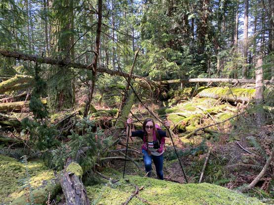
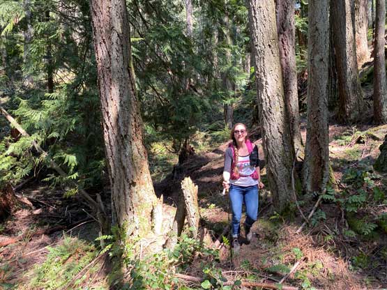
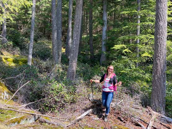
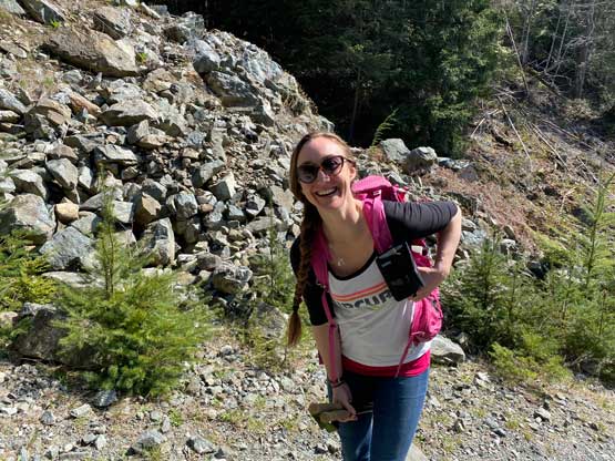
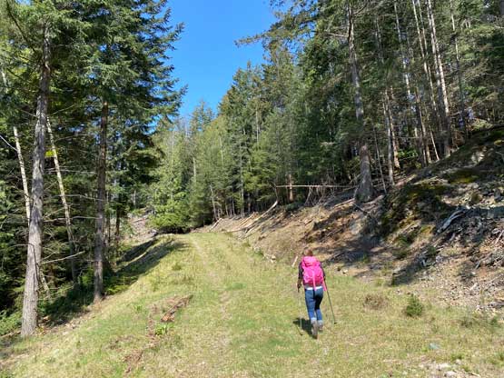
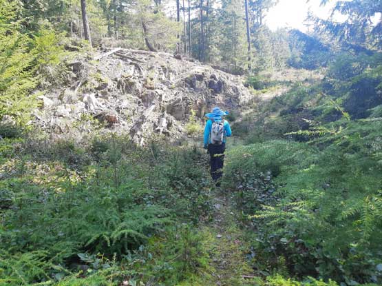
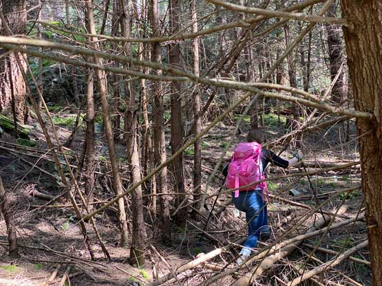
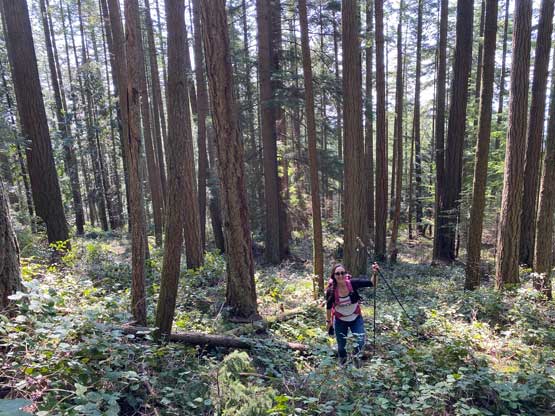
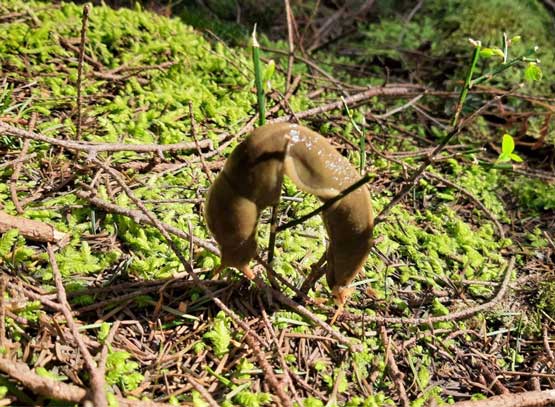
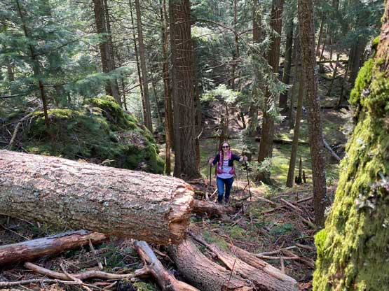
The gravel road was wide and open initially but quickly degraded a few switchbacks later. At one point I couldn’t even tell whether or not we were still following the road, so we bailed into the forest. I magically found some flagging and game trails so I essentially led us taking a pleasant short-cut. We intersected the gravel road higher up not far from the road’s end. We then officially bailed into the forest to start the bushwhacking. The going was mostly in open forest with some dead-falls and some underbrush that’s nothing beyond the “BW2” scale. What made things slightly more challenging than anticipated was the micro-terrain and the associated route-finding. It wasn’t that “go straight up” type of forest that is typical in the South Coast ranges. The terrain is actually more similar to Vancouver Island with small bluffs and gullies everywhere. The GPS had to be consulted at least 20 times on the ascent, and double that on the descent to make sure our bearing was correct. The top of the traverse to the true summit had a few dense bands of dead-falls and the view was non-existing anywhere along the hike.

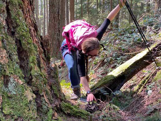


The ascent had taken us 1 hour 15 minutes so we likely wouldn’t have enough time to catch that 1:10 pm ride back home, but we still wanted to try. We descended as fast as we humanly could but sometimes the terrain just didn’t allow us to go too fast. I also made a navigation error about halfway down, but quickly realized that. In this forest it’s very easy to get disoriented so I had to check GPS every few minutes to make sure we took the most efficient path down. We eventually jogged down the logging road and sped the drive but still missed the ferry by about 7 minutes. The next ride would be 2:55 pm so we walked back to find a local pub for lunch. “Apodaca Peak” was my last objective on Bowen Island so I likely won’t be back here anytime soon, so we might as well take our time to explore the civilized part of this island. The food was quite good but the serving was slow. It took them about an hour to prepare our food but we didn’t mind as there’s literally nothing else to do. The traffic back through Vancouver was just as bad as expected and I ended up being 1 hour late at work, which was definitely not ideal but whatever.