Grizzly Peak
July 19, 2014
2500m
Kananaskis – Highway 40, AB
Obviously, the “mighty” Grizzly Peak wouldn’t qualify my primary objective for a weekend in July, but unfortunately that’s how things worked out on this past Saturday. Originally, Vern and I were hoping to scramble up “Black Brett”, an unofficial summit between Mt. Bourgeau and Mt. Brett. It didn’t work out well and once we gained the ridge just above Harvey Pass, low clouds rolled in. The wind was howling and the rain was blowing sideways and the summit was in the clouds. Given the fact neither of us wanted to risk thunderstorms we turned around. The weather didn’t improve at all and it kept raining even when we descended back to Bourgeau Lake, so we made a correct call. Apart from boring and tedious, the hike-out was ridiculously busy and I did not enjoy it… Anyway, after wasting 6 hours (and considerable amount of energy) we made back to the parking lot.
As we drove back towards Calgary, the weather kept improving, and once we got to Canmore the sun came out. Having the entire afternoon/evening ahead of schedule there’s no way I’d sit around doing nothing. There’s still a lot of small objectives on my to-do list in the front country of Kananaskis and I almost certainly could pick one. I didn’t bring my Kane’s book, but thankfully Vern had done everything in the Kane’s book, and he recommended Grizzly Peak as being probably the most reasonable objective. I thought that’s a good plan, so I immediately drove back into the mountains. Despite being late in the day, there were still two cars parking at Ripple Rock Creek helping me to locate the trail-head (roughly halfway between Grizzly Creek and Hood Creek).
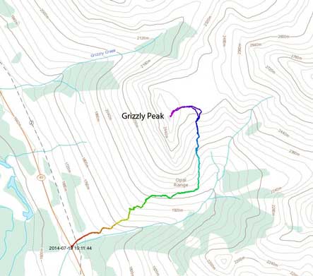
Grizzly Peak standard scramble route. GPX DL
After removing the unnecessary mountaineering gears from my backpack I immediately started the hike. Take a note that the elevation gain for this peak is 900 m, so despite the fact it looks small, there’s still a good amount of work. For some reason I thought the gain was only 600 m or so, but oh well. It’s still a short hike for my standard. The trail was also very easy to follow. Instead of following Ripple Rock Creek, the trail gains steeply up Grizzly’s slope and then makes a contouring traverse on its south and west slopes before gaining steeply towards Grizzly/Evan-Thomas col.
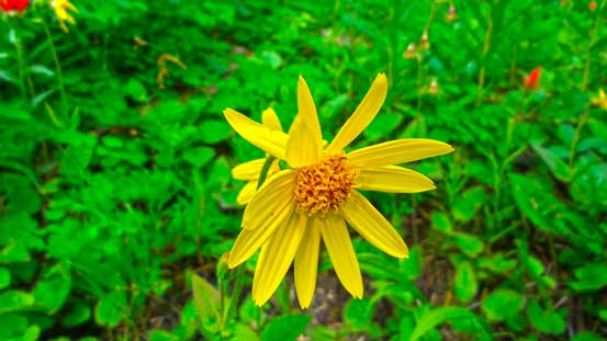
Flowers
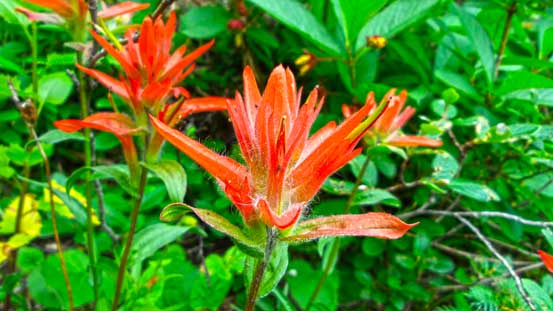
Paint brushes

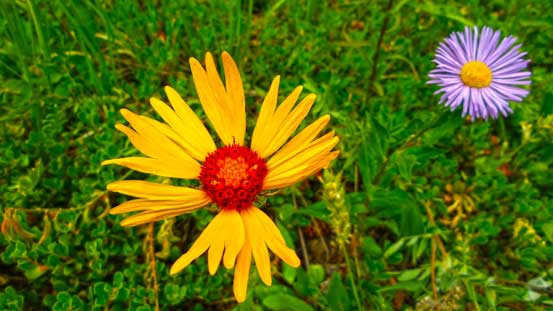
Asters
More flowers

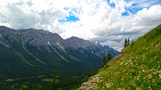
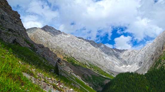
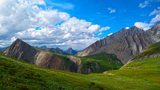
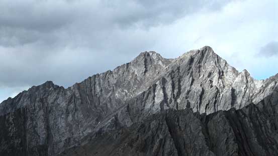
A view from the trail

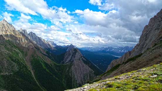
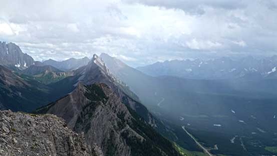
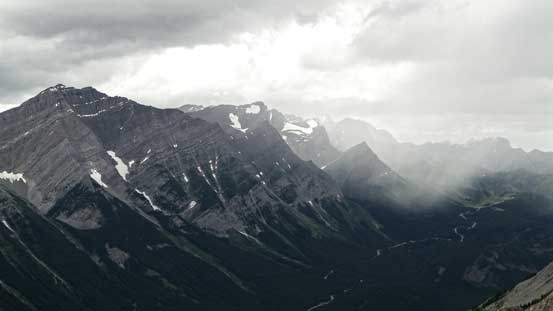
Stormy weather towards Kananaskis Lakes
Looking towards Lawson and Inflexible

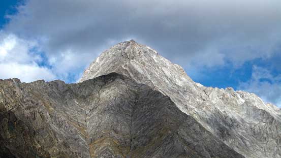
This is Grizzly Peak, higher than it looks
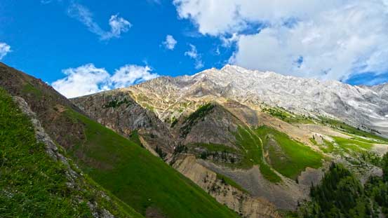
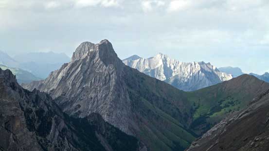
Sunshine on Evan-Thomas and Packenham
A closer look at Mt. Evan-Thomas, a “new” Nugara scramble
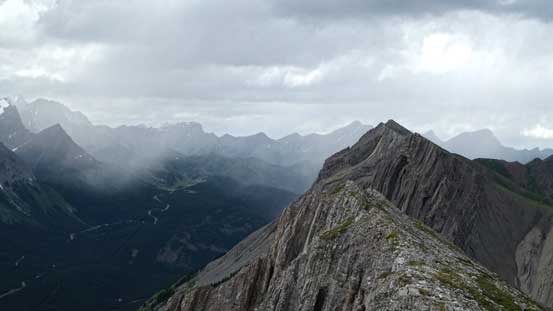
The part from Grizzly Peak’s south corner to Grizzly/Evan-Thomas col was very foreshortening and I was not mentally prepared for that. It took me much longer than it appeared, but on the positive side, weather held nicely and Mt. Evan-Thomas and Mt. Packenham got sunshine most of the time. Eventually I slogged to the col, but after gaining probably more than 2000 m on this day, the last bit from the col to summit also seemed to drag on for quite a while. It also appeared that another storm was moving in at a rapid pace, but I successfully beat it. I did not have time to sit around though, so after obligatory photos I immediately started the descent.
Around the south corner, looking towards Mt. Evan-Thomas

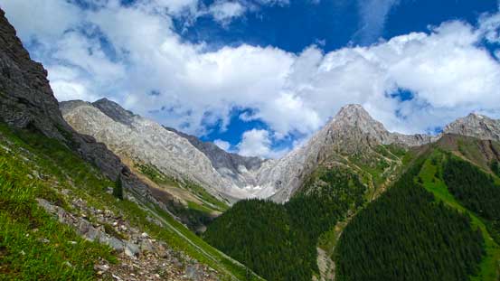
The route to this col was very foreshortened
From the grassy col, looking north. There seems to be another grassy plateau between Opal Ridge and Mt. Potts
Looking south, already higher than King Creek Ridge (center foreground)
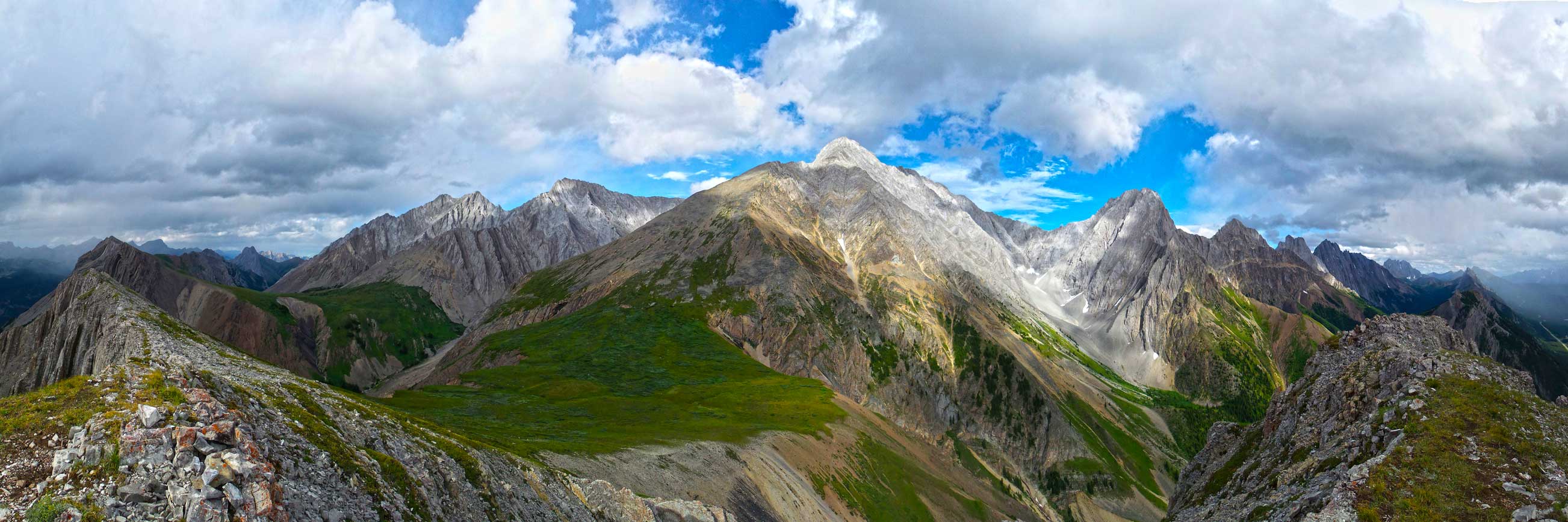
Summit Panorama looking towards Opal Range. Click to view large size.
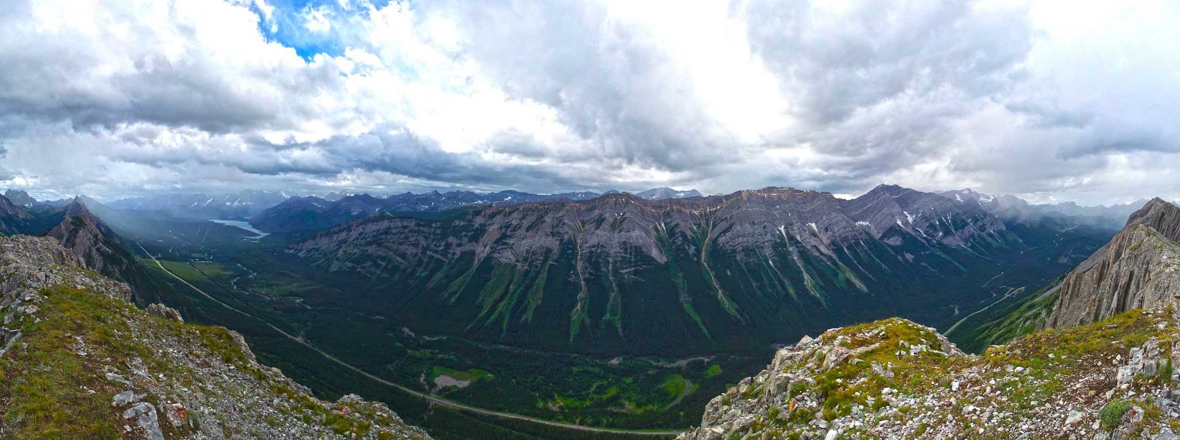
Summit Panorama looking towards the other side. Click to view large size.

Mt. Packenham

Mt. Evan-Thomas
A closer look at the summit of Evan-Thomas
Mt. Denny
Stormy weather looking south. Mt. Wintour left of center

Brock, Blane and Elpoca – technical summits in the Opal Range.
Zooming-in north towards The Wedge
Looking north over Opal Ridge
More stormy weather around Mt. James Walker area.
The storm hit me on my way down towards the col. There wasn’t a lot of rain but the wind was blowing crazy. Thankfully the storm passed by quickly and sun came out again. The rest of the hike was steep, but scenic. I was not on a rush so descended a bit slower than my usual pace, and my round trip time was a bit over 3 hours.

Lots of evidence of last year’s flooding
Grizzly Peak was originally on my winter to-do list, but I did not regret bagging it in July. There weren’t many other options I could do in this afternoon anyway, and speaking Grizzly Peak itself, the route will have a lot of avalanche risks in winter, depends on how much snow it holds. It can also be thin snow coated and icy and I’ve heard experienced people got turned around for not bringing crampons. In summer time it’s a scenic hike and I’d recommend it to everyone wanting to do a short outing.
