Northwest Peak
August 18, 2019
2348m
Bonners Ferry / NW Montana, MT
Northwest Peak is very aptly-named for those living in the state of Montana because it literally is located on the far northwest corner of that state, in the southern tip of Purcell Mountains that extends down from interior of British Columbia, Canada. This area appears heavily logged but is considered “remote” from hiking and tourism point of view, but because of the logging road system an ascent of Northwest Peak is a no-brainer, providing one has a reasonably high clearance vehicle to drive the access roads. This peak is better known in the prominence peak-bagging community because it’s one of the 140+ “P4K”, peaks with 4000+ feet of topographical prominence in the Contiguous US. An uninspiring walk-up like Northwest Peak usually does not catch much interest of mine, but I’m one peak-bagger who is happy to bag literally any peak. This was done on the first day of Adam and I’s road trip to northern Montana, aiming to bag as many prominent summits as possible in a span of two weeks.
The weather appeared stellar on the first few days of our trip so to fully utilize the window we agreed to squeeze one summit in Day 1, and that meant we had to leave Seattle at 6:30 am which further meant I had to wake up at 4 am to drive south. The morning was very tiring because I attended a social party the day before and felt sick from the food and loud voices, but made it happen nonetheless. I parked my Taco in Adam’s place and slept in Adam’s Subaru for most part of the driving day. The drive was boring and long and the communities in northern Idaha and NW Montana were very rural with minimal facilities. We drove straight to the trail-head on windy and steep, but easy logging roads. I was impressed by the quality of roads in this part of US. It seemed like the government or logging company really does their job keeping the roads drivable for most recreation vehicles. The logging road navigation was done by Google Map app as well as my Gaia app for a secondary source and I have included this driving portion in my GPX file.

Northwest Peak hiking route. GPX DL
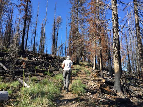
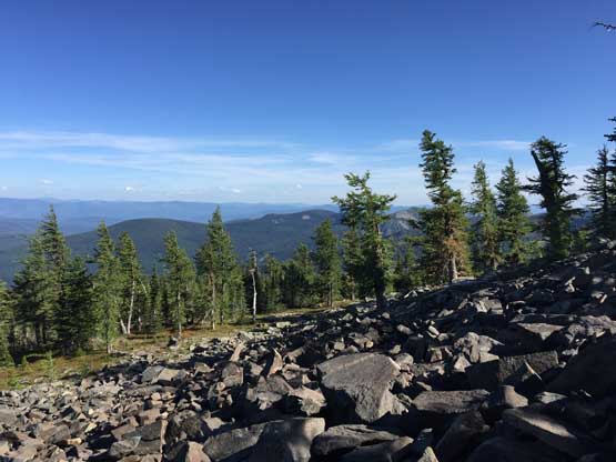
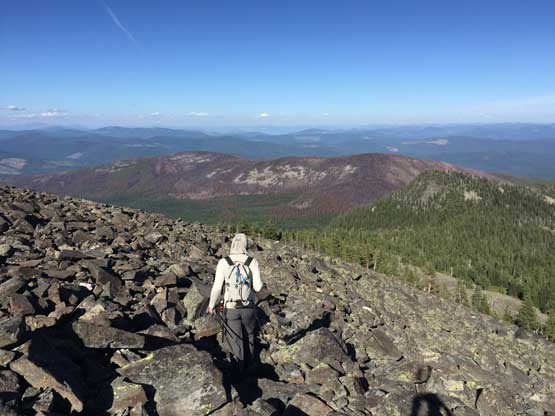
From the trail-head the ascent was about 5 km each way with over 500 m elevation gain, all on a maintained trail. The hike was very boring with minimal views through the thinning forest, but near the summit we broke out of the forest with expansive vista towards all direction. The mountains in this region are more “hills” than “peaks” but I was happy to see something different nonetheless. I could point out Mt. Fisher way the hell to the NE in Canadian Rockies which is the closest peak I’ve bagged, over 100 km away.
As typical as the hike went

Started to finally see something
Even with views this hike was still very averaged… Not very inspiring at all

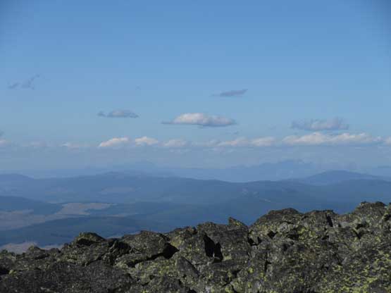
Partial Summit Panorama from Northwest Peak. Click to view large size.
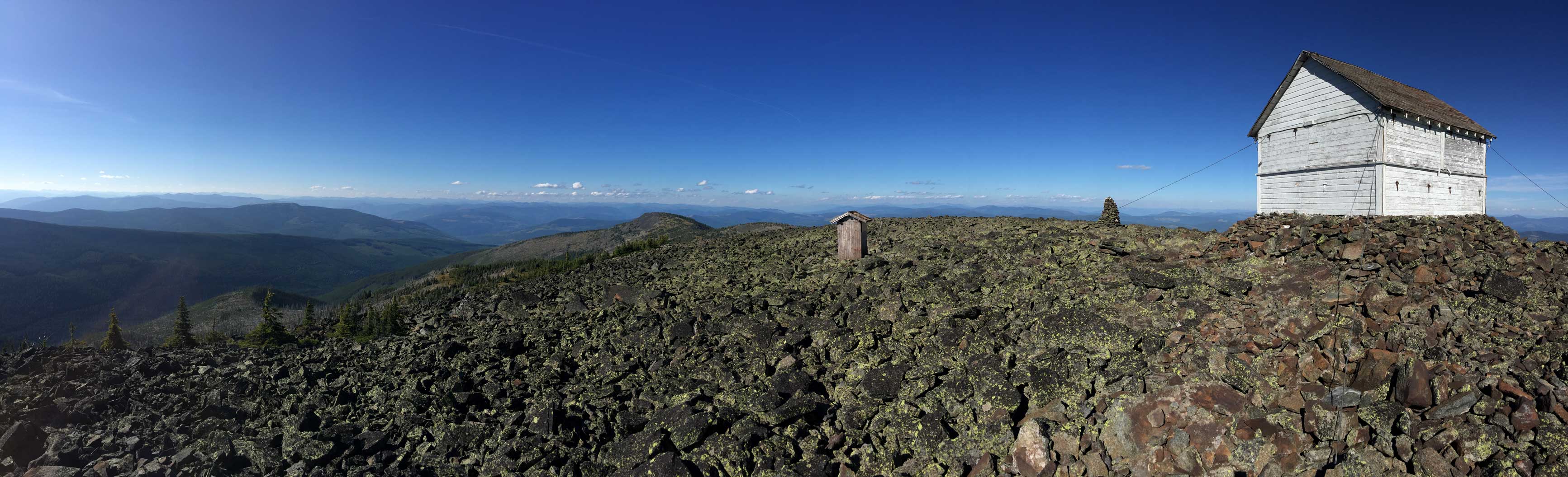
Partial Summit Panorama from Northwest Peak. Click to view large size.
Looking south towards Davis Mountain
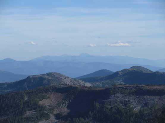
Way in the distance we could see Snowshoe Peak that we bagged a few days later
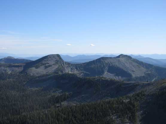
This is looking towards C. Rockies – Mt. Fisher on left and The Steeples on right
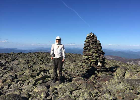
Me on the summit of Northwest Peak
After signing the register in the summit lookout structure we leisurely walked the trail back to Adam’s Subaru. After evaluating our time and position we determined there wasn’t enough time for us to grab another summit, so the new goal was driving to Queen Mountain‘s trail-head and car-camp.
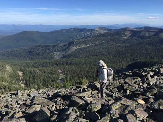
Leaving the summit behind
Taking in views while we were still up high
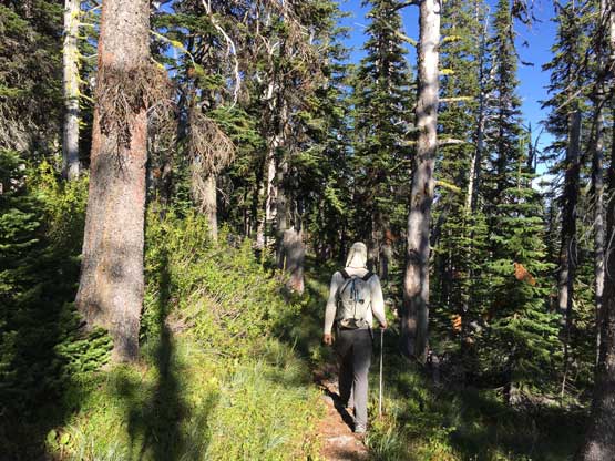
Into the woods this was the typical scene
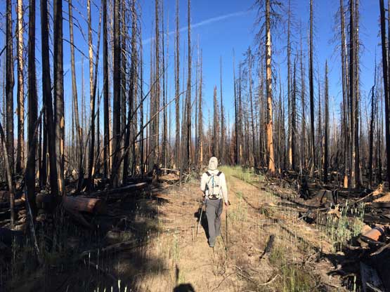
The lower end of this trail was on some deactivated logging roads
The drive was uneventful and we were now back into northern tip of Idaho near Bonner’s Ferry.
