Mount Hanover
December 15, 2016
1748m
Lions Bay / North Shore Mountains, BC
Among the taller peaks in our local North Shore Mountains, Mt. Hanover is one that doesn’t have a walk-up route to the summit. The standard scramble route goes up the south gullies on the south face and is reported to be at least 3rd class with loose rocks. When filled with snow, the same route provides an enjoyable alpine ascent (and steep ski), although most reports I’ve read aren’t done with snow. My inspiration of making a winter ascent of Mt. Hanover mostly came from a recent report on the South Coast Backcountry Touring Facebook group as two strong skiers apparently just ski’d off from the summit on the same day I did Goat Mountain. The weather and condition held nicely and I made a spontaneous decision to follow their footsteps up this beast, a mere two days after their trip.
One thing that further complicates Mt. Hanover is the approach. It seems like the Deeks Lake is the longer, but easier option while the Hat Pass (Brunswick/Hat col) offers a more direct route, although steeper and involves more elevation gain. The two skiers from that Facebook group did it via Magnesia drainage and it literally took me a good while to figure out where exactly they went. Matching their photos with Google Earth and topographic map I eventually figured they must have traversed around the east side of Brunswick Mountain on some very steep terrain but the result was a very creative line – likely the most direct way to access this peak with the least amount of elevation loss/regain. I did not know what exactly to expect on the east side of Brunswick, but with a set of pre-established skin tracks my decision was very easily made, especially considering the amount of trail-breaking required on these days..

Ascent route for Magnesia Peak and Mt. Hanover via Magnesia Meadows. GPX DL
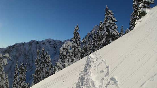
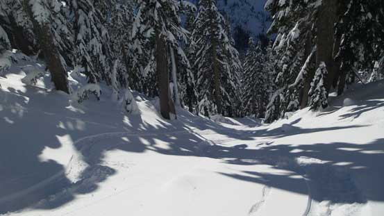
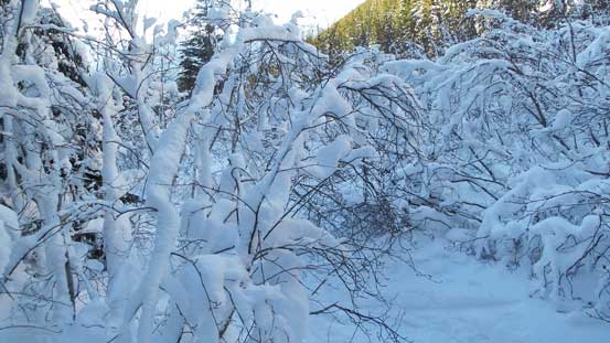
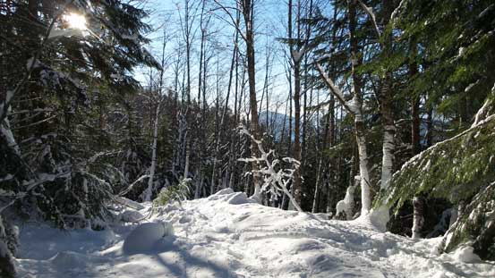
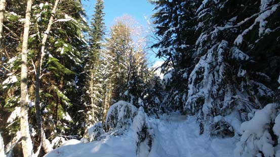
My alarm went off at 2:50 am and after some quick breakfast I left home. As usual it’s a cruise sailing at this time of a day driving through Vancouver and by 4:30 am I had made to the parking lot at Lions Bay. To my great surprise the lot was full already and I had to park on the side of the street about 100 m down the road. That’s alright but I still can’t believe how busy it got on a Thursday especially given the recent frigid temperature. Head-lamp on and upwards I went the snow became continuous in no time, and another 10 minutes later I strapped the snowshoes on. From there on it’s a simple game of plodding, passing the Brunswick’s turn off (untracked) to the Magnesia Creek spur road. The major set of skin tracks continued up the road towards Mt. Harvey while the spur road only got travelled by those two skiers. That’s a good news as otherwise I’d have to deal with too many distracting tracks.
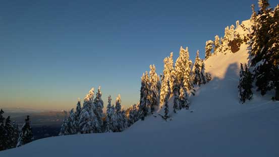
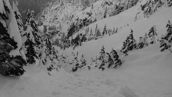
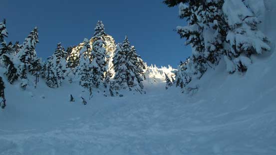
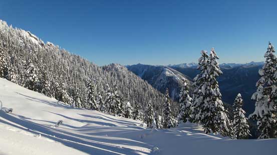
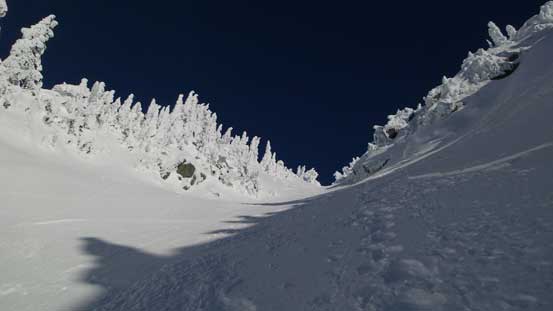
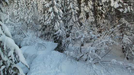
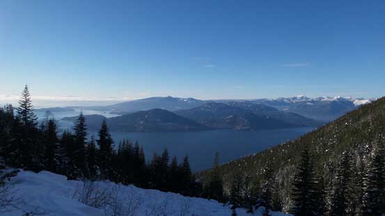
Once onto the Magnesia Creek spur road I started to sink a bit on top of their skin tracks but overall the trail-breaking effort was minimal. The road was also in a reasonable shape with not-too-many slide alders and that helped a lot on my progress. In less than 2 km the road crossed a large avalanche gully, and shortly after that it ended on a boulder field directly beneath the Mt. Harvey’s North Ramp. The Ramp was looking exciting under the bright moon light but it wasn’t my objective on this day. The section right after the boulder field was the worst with one tricky creek crossing and some moderate bushwhacking, but fairly short lived. After that I followed the skin tracks ascending steeply up the left (north) side of the drainage slowly into the upper draw. The process was tedious but with a good attitude the next thing I was watching an incredible alpenglow panorama from Magnesia Meadows.

Mt. Harvey at dawn
Alpenglow on the south face of Brunswick Mountain
Alpenglow on Mt. Elphinstone just across the Howe Sound
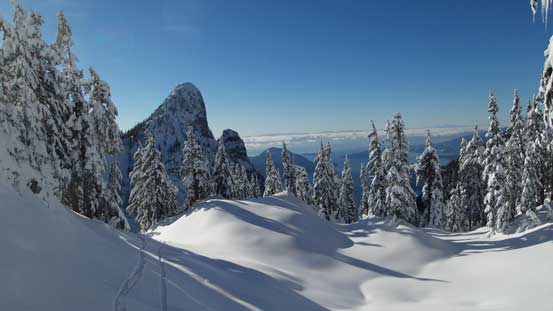
The set of skin tracks led me to the south side of the unofficially named “Magnesia Peak” and just as I wondered why their descent tracks disappeared I checked my GPS and realized this mistake. No big problem as now I just had to traverse up and over “Magnesia Peak”. The skiers didn’t bother with this little summit but as a peak-bagger there’s no way I could leave it behind since I was that close. The morning was gorgeous especially looking back towards the Lions and I was very glad to have done this side detour. Now dropping steeply down to Magnesia/Brunswick col the next thing I had to face the unknown – the east side of Brunswick Mountain.
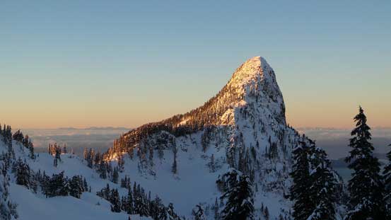
Mt. Harvey looks very sharp from this angle.
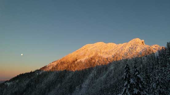
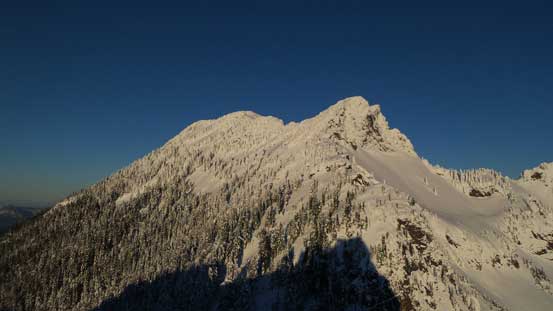
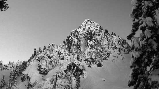
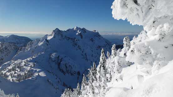
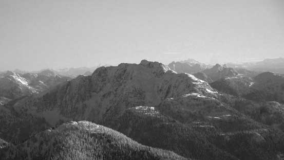
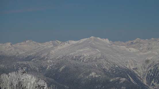
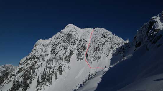
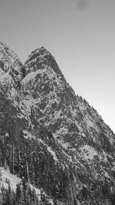
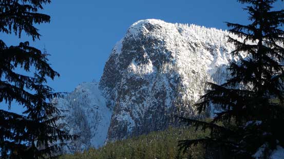
A zoomed-in view of Mt. Hanover – my objective
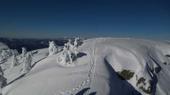
Cresting the col south of Magnesia Peak

Plodding up Magnesia Peak since I was there anyway.

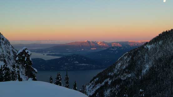
Looking south towards the Lions and the southern section of HSCT
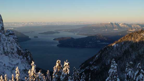
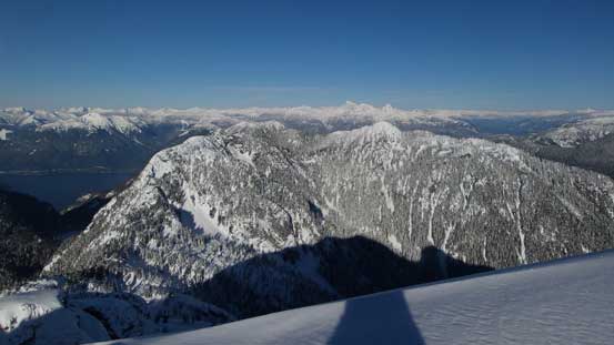
Howe Sound

Unnecessary Mountain was my first peak bagged along HSCT
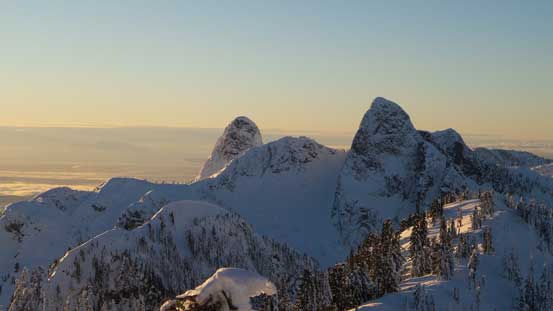
East Lion, West Lion with Thomas Peak sandwiched in between
Traversing towards the highest point on Magnesia Peak

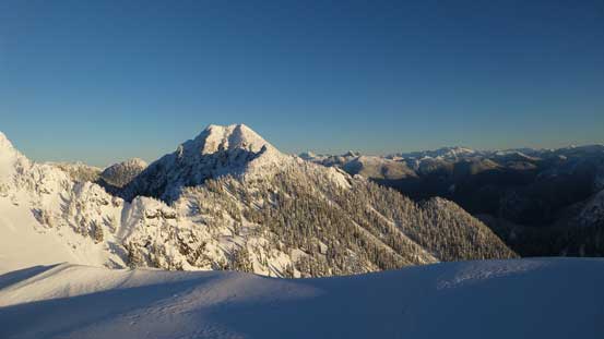
Mt. Harvey and Howe Sound from Magnesia Peak
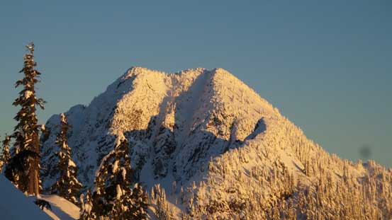
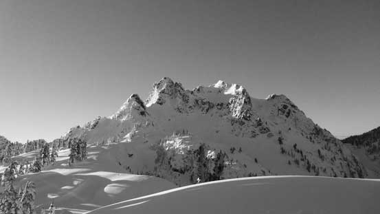
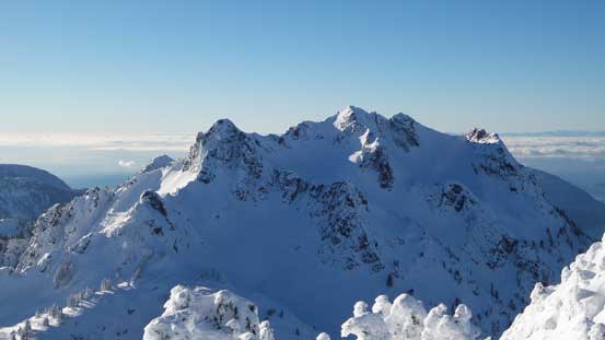
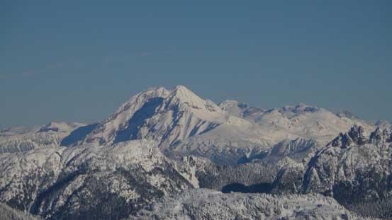
Brunswick Mountain
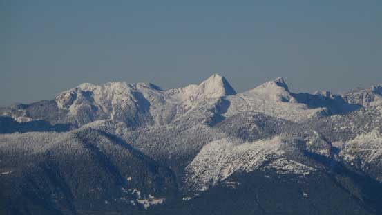
Another look at Mt. Hanover
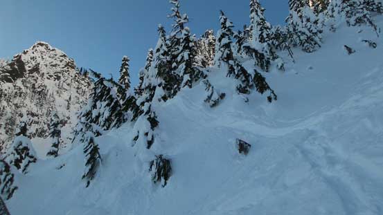
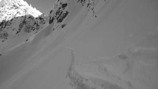
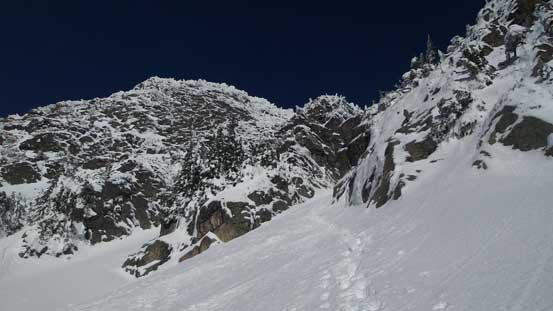
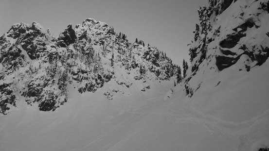
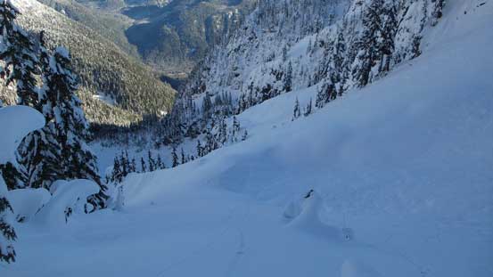
I dropped straight down from the col but soon enough there came a couple exposed bowls to traverse across and the terrain was huge. The slope was very steep, the run-out was unsupported and then there’s hazard from above, but again with the skin tracks there’s not much route-finding required except for I was travelling with snowshoes on skin tracks so I had to be careful with some narrow and tight stretches. From the low point onwards the terrain had become mellower, although the drag seemed to last quite long before cresting the broad south shoulder of Mt. Hanover. Now with the south couloir, south face properly displaced in front I knew it’s going to be a blast.
Dropping down from Magnesia/Brunswick col
Very big terrain…

Looking back towards the col that I just dropped from
This was looking down from the traverse across the first bowl
This was looking up.
It’s steep..
Magnesia Peak actually has a pretty impressive north face
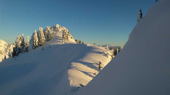
Terrain mellowing out
Started to regain elevation now.
Cresting the south shoulder of Mt. Hanover now, looking towards Brunswick Mountain
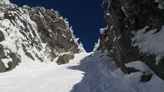
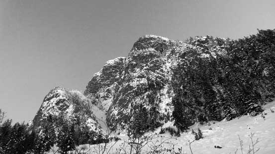
The south couloir, south face displaced in front. My route goes up the right side couloir
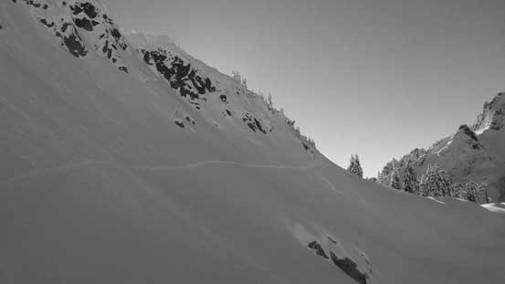
From the south shoulder the tracks split and I took the high road traversing a long way across the bowl ahead resisting losing elevation. The traverse was long and steep and on top of that there were two weak spots and I accidently discovered a large rock hole… Thankfully it wasn’t deep and I immediately climbed out of it and spent some time cleaning snow off my clothing. For the second weak spot I paid close attention probing each step forward and didn’t discover any unpleasant surprise, and after that I was right at the base of the south couloir. Ditching snowshoes and donning crampons I didn’t waste any time but starting the climb. Utilizing the skiers’ bootpacking steps there’s minimal post-holing required for me neither. The steepness maxed out at about 40-45 degrees around the chockstones in the lower couloir and once into the upper funnel the grade mellowed out to around 35 degrees.
Taking this long side-hill traverse to avoid elevation loss/regain
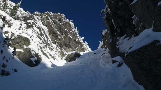
Grunting up the couloir

Looking back at the start
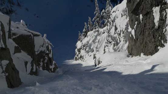
Partway up the lower couloir, looking back
Given the amount of snow climbing I’ve done in the past few years this was easy peasy. There’s no stress whatsoever and instead I intentionally slowed down to enjoy the scale of the terrain around, but the couloir was overall not a long one so didn’t take me long to top out. It wasn’t too terribly cold on the summit and I spent at least half an hour having some snacks, soaking in the views and re-connecting on social media (there’s good cell reception).
Looking ahead to the upper draw

Almost on the summit now, looking back
Looking sideways across towards Brunswick Mountain

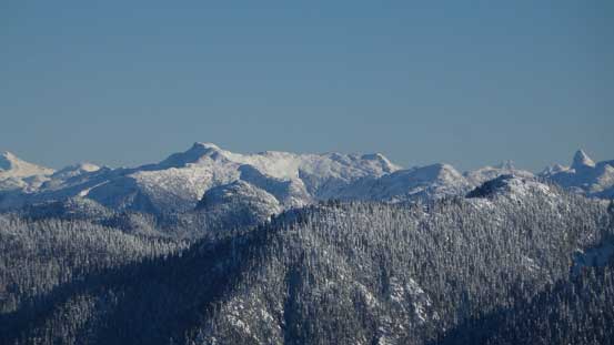
Summit Panorama from Mt. Hanover. Click to view large size.
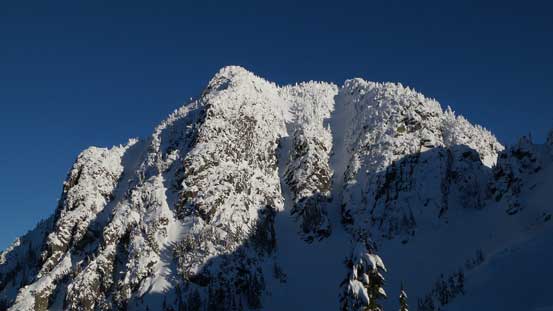
The North Face of Brunswick Mountain
Looking north at Coburg, Gotha, Windsor and Deeks
Looking over the summit of Mt. Wrottesley towards some distant giants by Sunshine Coast

The rugged Sky Pilot Group

Mamquam Mountain
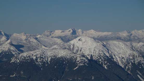
The Nimbus – Katzie – Nebula group by Stave Glacier

Meslilloet Mountain
Cathedral Mountain

The Lions

Hat Mountain in foreground; Mt. Elphinstone in the background
Atwell Peak/Mt. Garibaldi massif
Tetrahedron Peak at center with Rainy Mountain to its right and Mt. Steele to its left

Mt. Tantalus is that tall peak; Serratus Mountain to its right
This is Mt. Sedgwick

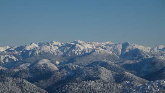
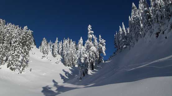
The typical scenery in the North Shore Mountains

A wider view of the north face of Brunswick Mountain
My tracks on the summit

Me on the summit of Mt. Hanover
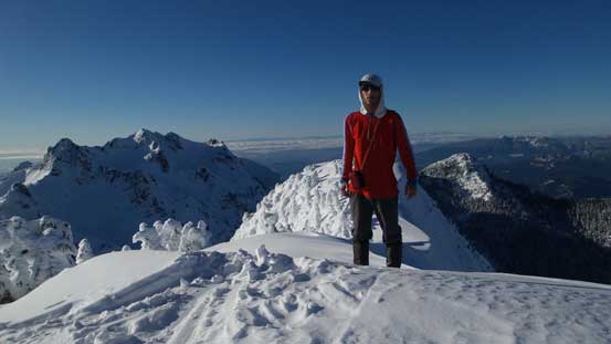
Another picture of me on the summit of Mt. Hanover
Eventually it’s time to go down. For the upper funnel I managed to plunge down facing outwards and only turned my face in for a short stretch in the lower couloir. Soon enough I started plunging again and then I was back at my snowshoes. A few minutes were spent swapping gears and then I carefully reversed that long side-hill cut, paying close attention to not fall into that rock hole for the second time. Back to the south shoulder it was still early in the day and I briefly thought about tagging the N. Face of Brunswick Mountain too, but decided against it considering I still had another trip on the following day, so down into the east side of Brunswick Mountain. I stayed a little bit higher thinking I could cut some elevation regain out of the way but in the end I don’t think it mattered much. The traverse back across the last bowl was just as big as looking from the opposite way, but went by quickly.

Time to go down
Almost down, looking back
Exiting the couloir
Ready for the side-hill cut
A review shot of the south couloir of Mt. Hanover

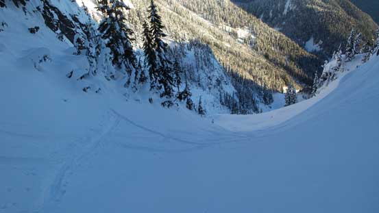
Dropping into the east bowl

It’s gorgeous.
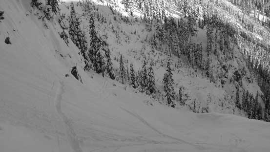
Back across the bowl now, time to plod up Magnesia/Brunswick col
One last look at the big country on the east side of Brunswick Mountain
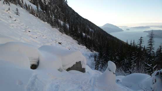
Up and over Magnesia/Brunswick col I followed the skiers’ down tracks aiming directly down the Magnesia drainage. This route intersected my ascent line lower down and was indeed a much faster way if you are not planning to tag “Magnesia Peak”. Now onto the main set of tracks I got to enjoy some fast and fun plunging down the soft powder and it literally took me no time to get back to the boulder field beneath the North Ramp of Mt. Harvey. After briefly admiring that steep line I turned my face forward onto the Magnesia Creek spur road plod. About half an hour later I joined the main logging road and the rest of the return was fast, but uneventful.
From the col, looking towards Mt. Bonnycastle
Dropping the other side of the col, looking ahead
Looking back at the col
Into the glades
A neat perspective of Harvey’s Pub

This is that tricky creek crossing
A bit of bush here and there.
Now it’s the boulder field

Uhh…
Slide alders…
Great view though.
The north face and north ramp of Mt. Harvey
Plodding down the Magnesia Creek spur road
Another picture about the road plod
Looking back at the North Ramp of Mt. Harvey…
My round trip time was just over 10 hours and that’s a wee bit faster than I thought. A huge thank to the two skiers breaking trail, testing out the route and posting their trip on the internet otherwise there’s no way I would even think about this route in this season. The finish of the day wasn’t very pleasant though thank to the horrible Vancouver’s traffics at rush hour. Combing with my tiredness it was terribly frustrating but on the bright side, it wasn’t nearly the worst traffics I’ve got caught in. Eventually I managed to got onto Pattulo Bridge and then got back home in time for dinner. And an hour or two later I had to go out again (yes, for work at evening)….
