Hopyard Hill
February 14, 2021
240m
Agassiz / Fraser Valley, BC
Hopyard Hill locates immediately to the west of the town of Agassiz in the middle of some farm lands. The hill is criss-crossed with old and overgrown logging roads on the lower flanks but the very top is completely covered in trees. The ascent of Hopyard Hill is the worst dumpster-dive I’ve done in Fraser Valley. This hill is slightly lower than the nearby Cemetery Hill but the ascent was steeper and bushier. Maria and I did it as a second objective on the Valentine’s Day after bagging Cemetery Hill. To bag these summits one doesn’t have to link them up but we opted to do so in order to make a heart-shaped loop track.

Cemetery Hill and Hopyard #tresbagging loop.
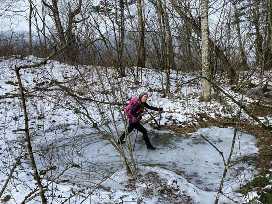
The terrain between Cemetery Hill and Hopyard Hill was entirely farm lands with numerous ditches and barbed wire fences to hop across or duck under. The farm lands were also swampy but the recent cold snap had frozen them over. The only reason we could complete this loop was the deep freeze as otherwise we would be dealing with 1km of post-holing in swamp, mud and quick sand. The ditches were not frozen though so we did have to find some creative way to hop across. I made a jump then Maria used my pole as an added grab.
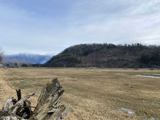
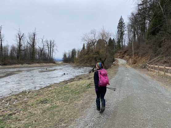
Hopyard Hill ahead with the farm lands that we must cross
Bear Mountain to the north by Harrison Hotsprings
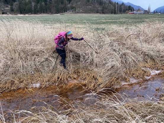
Maria finding a spot to hop across this ditch. The water was gross

Then, ducking under some barbed wire fences
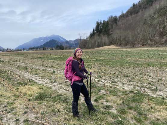
Maria in the middle of a corn field.
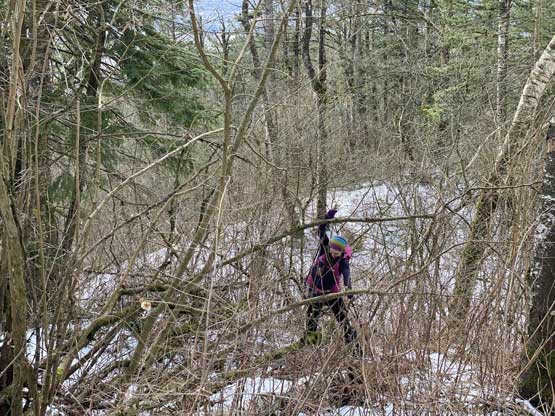
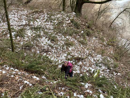
The ascent of Hopyard Hill from the west side looked steep and it sure was. The crux was getting off the farm lands onto the hill as again, we had to deal with a thick band of brambles that was not possible to avoid. Then we had to deal with a mix of scrambling and bushwhacking for 200 vertical meters of elevation gain. The hardest scrambling was a 4th class step aided by vege belay. I’m sure that step could be avoided but we didn’t want to traverse around to find out as that zone was covered in brambles as well. Traversing in brambles was the last thing I wanted to do. I thought the going would get easier once hitting the flatter SW Ridge but the flat ridge was covered in dense and pokey plants. To reach the true summit was still a non-stop bushwhacking on this entire ridge.

The scramble to get into the woods was steep and brambly

Maria trying to enjoy this steep bushwhack

As you can see, we must find a route through these bluffs

As much as the view from Hopyard Hill

Me scrambling up a steep bluff. Photo by Maria C.

Maria coming up this same bluff step. Felt 4th class for at least one move

The terrain above the bluff

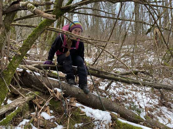
We finally gained the flattish summit ridge but the going was like this
Maria found a frozen pool to have some fun…

Maria was still trying to smile…
We had to fight hard to gain the summit. It’s non-stopping like this

Maria and I on the summit of Hopyard Hill
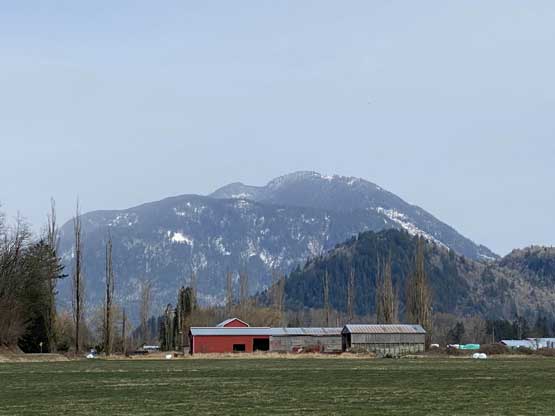
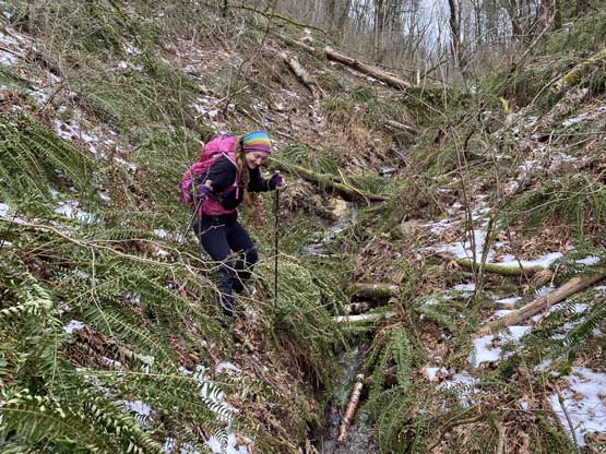
After snapping some obligatory shots we resumed the plan to make that heart-shaped loop so the descent would be down the SE flanks. This side of the terrain was surprisingly not as bad as the west side but still involved a lot of bushwhacking. About two thirds of the way down we came across an old logging road and followed it for a while. The road then did some uphill travel. Not knowing where exactly that went we bailed the road and bushwhacked steeply down to the east side farm lands. We joined the driveable road on that side and walked to the very southern end on the edge of Fraser River. The road stopped in a private property with dogs guarding but our only way home was to go through it. We gingerly walked across and thankfully the dogs didn’t bark on us. I was hoping for the road to continue but we were out of luck. The next half an hour was spent frustratingly bushwhacking across the southern tip of Hopyard Hill with a lot of up-and-downs. Traversing on the edge of the river was not an option so we must side-hill in the forest. About half way down this traverse we joined another old road that apparently came from the other side. This road brought us into another private property with gates and “no trespassing” signs but we came literally from behind, so the only way out was to go through it. I hopped over the gate but then Maria found out it’s actually not locked. The owner then came out from behind. We didn’t say anyway, just waved and continued walking back to the truck.
Find a different route to descend
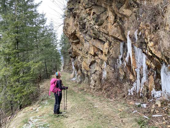
As you can see, this peak is really pick-your-poison.

Yet another barbed wire fence to duck under

Finally down to the farm lands again. This is looking at group of geese
A brief moment free of bush…

Nervously walking into yet another private property and this time, with dogs

After the private property we had to dive into the bush again…

We determined it’s impossible to thrash through this band of brambles
Starting the traverse with up-and-downs.

Tired of this yet? Maria finally stopped smiling…
Finally found another road

We came out of this from BEHIND.
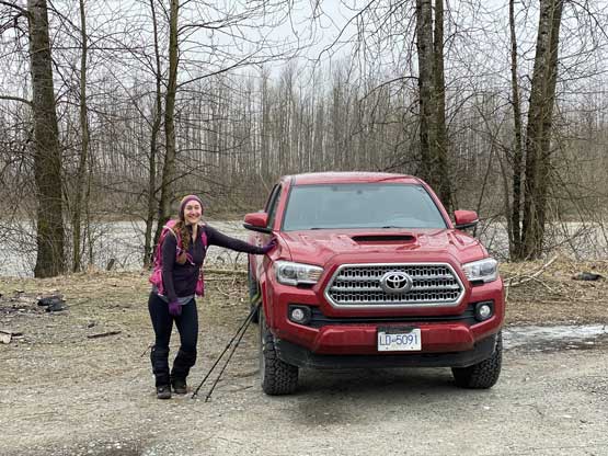
After 4 hours of misery we came back to the truck.
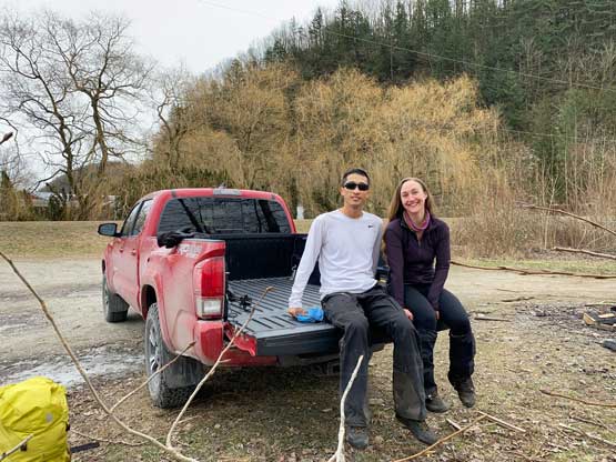
My first ever tailgate shot. Al’s going to be proud…
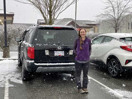
Back in Langley it was snowing hard…
Our round trip time was a little over 4 hours with at least 3 hours of non-stop bushwhacking. These two “peaks” are no doubt for the desperate peak-baggers only and should not be recommended. This trip had all elements of dumpster-diving – bushwhacking, no view, private properties, barbed wire fence, dogs, swamps, farm lands. We were also running a little late than planned. While driving back the weather closed in and it started to snow really hard. Still, I rushed the way home and managed to get back with only 5 minutes of spare before the exhausting afternoon/evening work…
