Frary Peak
December 21, 2021
2010m
Salt Lake City, UT
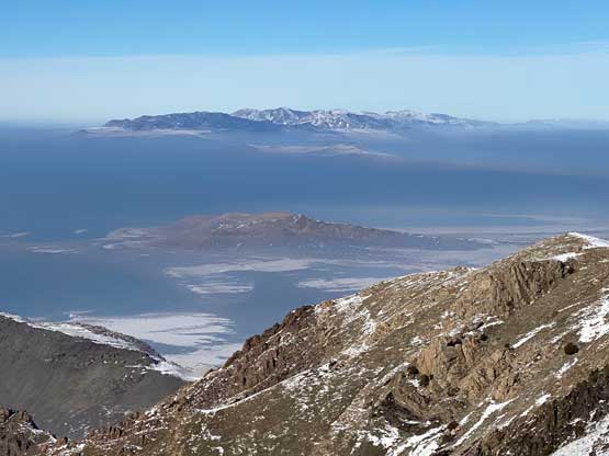
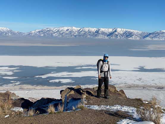
Frary Peak is the highest point on Antelope Island inside the Great Salt Lake. The entire Antelope Island had turned into some tourist destination thank to the proximity to Salt Lake City and a trail had been built to the very summit of Frary Peak. There are a lot more to do on Antelope Island than just Frary Peak but I only had one day in the area which was unfortunately not quite enough to soak everything in.
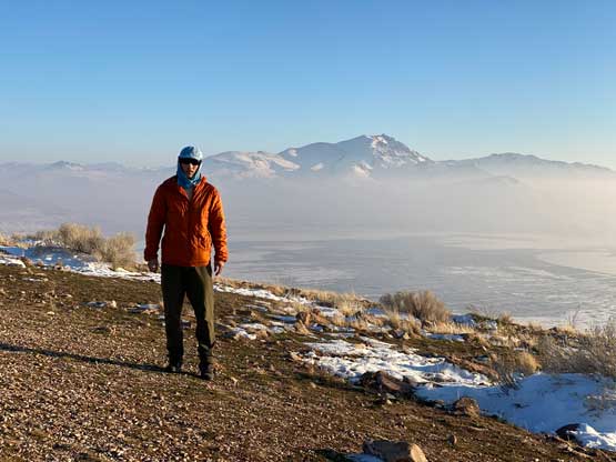
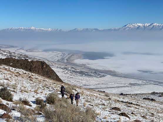
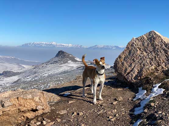
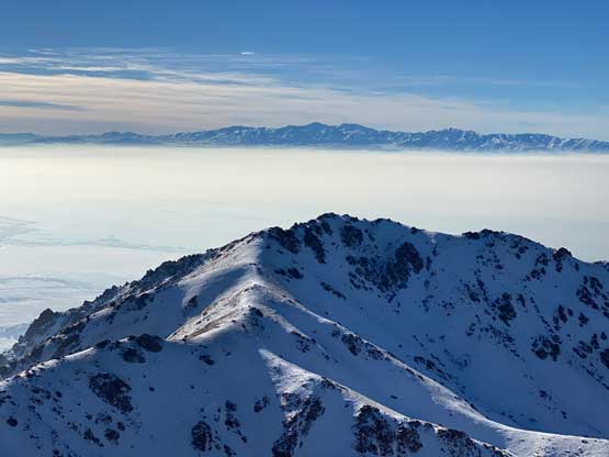
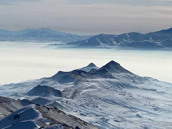
This was the second day of this past Christmas-New Year peak-bagging trip. I woke up in Tremonton, Utah in some frigid temperatures and had to spend a few minutes to scrap the ice off my windshield and also to warm up the truck. I then followed the Google’s direction through the urban areas onto Antelope Island. There was a thick smog layer obscuring the visibility down to at most 50 m ahead, but above the smog layer would be nothing but blue sky, so the stoke was high. At the entrance to the island I had to pay 15 dollars for a day-pass, which was a bit disappointing. The gate to the trail-head was open despite the winter conditions so I drove to the “normal” starting point. The peak looked wintery so I opted to carry snowshoes. This time the snowshoes turned into just some dead weight for training, but I could not take a chance on this. Another group started at the same time and they only had trail runners and microspikes.

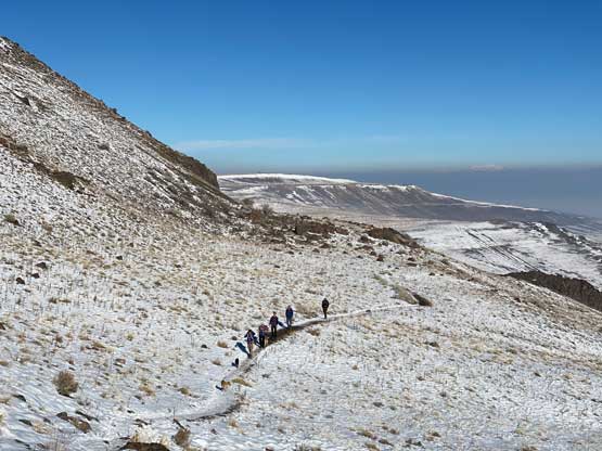
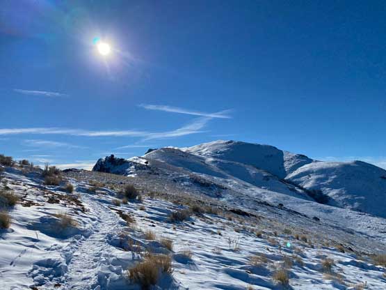
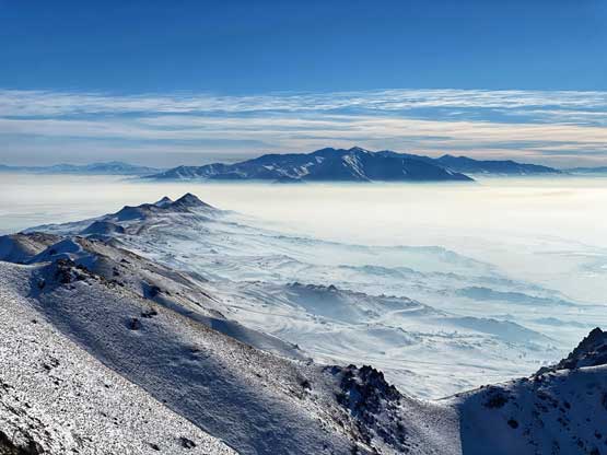
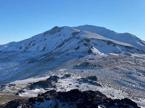
The quality of this trail was overall better than expected. In short time I had arrived at the saddle between Frary Peak and Dooly Knob. I decided to tag Dooly Knob later on the return so that I could focus on the main objective first. The trail then traversed around to the west side of the ridge crest to bypass a steep section. There’s a fun spot where I had to tunnel through a hole in a massive boulder. After regaining the ridge it was a long and undulating plod directly due towards the summit. This section dragged on for quite a while and the “summit” visible from below turned out to be the false summit. Oddly enough this false summit had an official name – Stringham Peak. Unfortunately I was not aware of that so didn’t bag it on this trip.


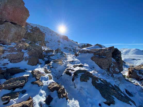
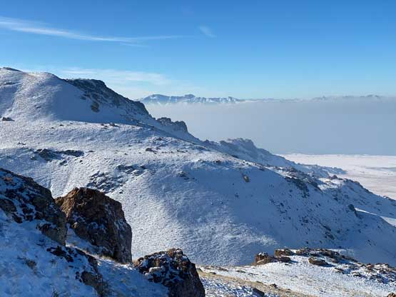


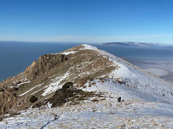
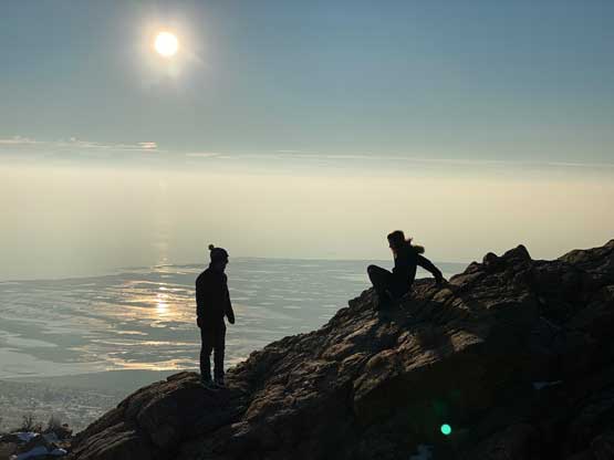
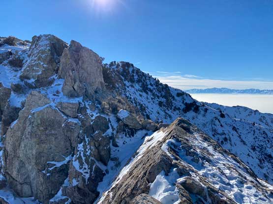
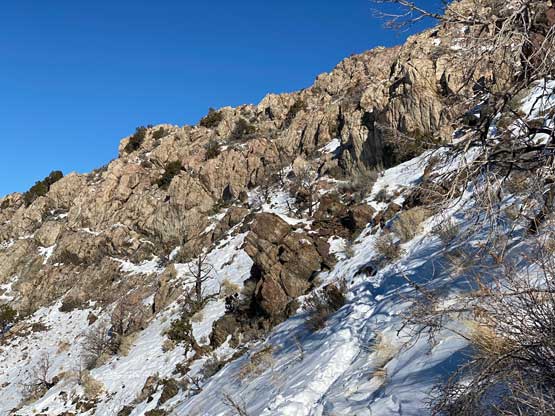
The trail that traverses to the true summit of Frary Peak actually descends to the west side of the ridge and ascends the west ridge in the end, but again I was not aware of that. I followed faint footprints on the ridge crest and the terrain soon became scrambly. There was abundant narrow spots and some 3rd class scrambling (with fresh snow). I noticed the actual trail far down below after about halfway across the ridge and instead of backtracking, I decided to just scramble the ridge to the summit and use the trail to descend. It was quite fun actually. A lot of hikers were seen on various parts of this trail on this particular day, but I was the only person able to make the true summit. At least two groups followed me on that 3rd class ridge but they all turned around.

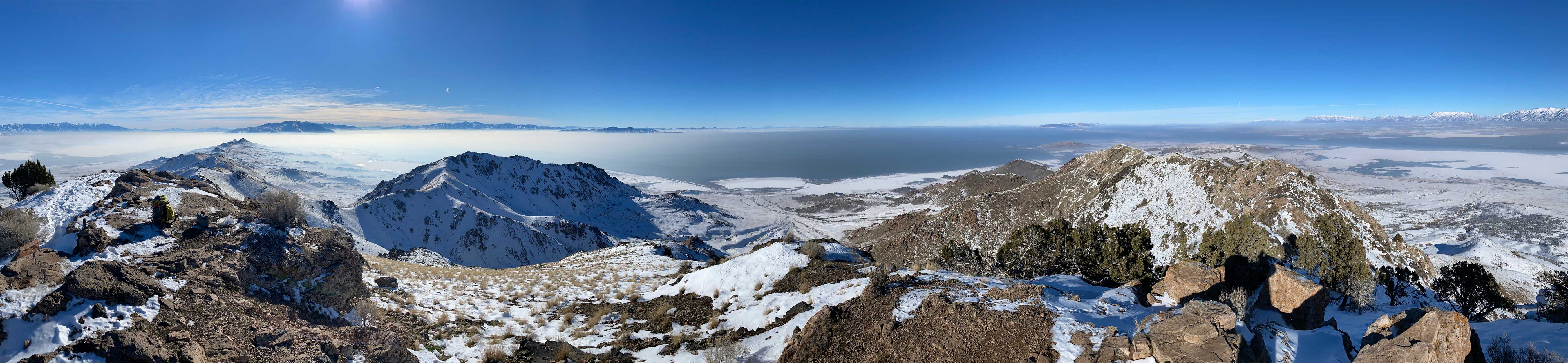


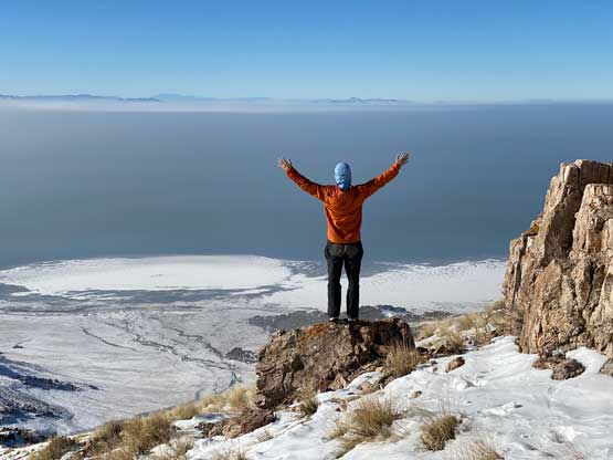
After almost an hour on the summit I finally decided to retreat. I correctly located the trail and had no problem descending back to the false summit. Unfortunately I did not bother with that 12 m prominence bump as I did not know it actually had a name. I quickly made my way down to the lower saddle, ditched the backpack and dashed up Dooly Knob. This bump had at least 50 m prominence so worth to check out. I then leisurely descended to the truck.


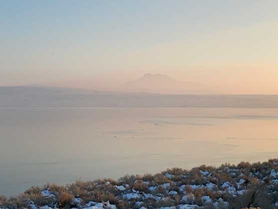
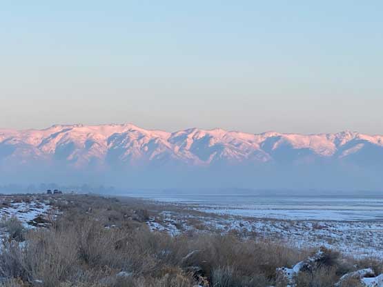
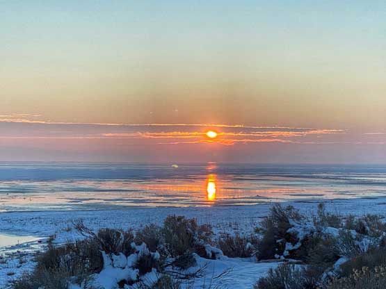
I still had about an hour and half’s daylight time so I had to make use of that. I noticed a “peak” called Buffalo Point on the far NW corner of Antelope Island and that had more than 100 m prominence. I drove there to the highest possible parking spot and hiked to the top in about 15 minutes. After making my way back down I drove back to the bridge that connects Antelope Island with Salt Lake City, pulled over and watched a beautiful sunset over the Great Salt Lake. In the evening I again did the routine thing – grocery for food and McDonald’s for wifi. Eventually at about 9 pm I left the McDonalds and drove to the next trail-head, about an hour to the south.