Campion Mountain
November 11, 2012
2010m
Mt. Robson Provincial Park, BC
Campion Mountain is a mere bump in front of the mighty Mt. Robson. The summit is barely above treeline and getting there would involve bushwhacking all the way up from highway elevation. I got this idea by simply studying the topographic maps. Given the insignificance of Campion Mountain comparing to its neighbours there’s no doubt this peak lacks “mountaineering interest” of any kind, but on the other hand, its proximity to Mt. Robson guarantees great views in a clear day. The best way to bag this peak is in winter when the snow has covered at least some of the underbrushes and I chose the day right after my 10-hour snowshoe slog up Canoe Mountain in Valemount.

Campion Mountain ascent route
I could have started the slog from Robson information center, but when I got there, I could see a little bump between me and Campion Mountain. This could make confusion while bushwhacking. So I continued to drive up Highway 16 for 4-5km ish, and parked right after a small bridge. There was only a thin layer of snow at the lower section, but the ground was frozen solid. This made things extremely slippery. I put crampons on right at the beginning, and they helped a lot. Initially the bushwhacking wasn’t too bad, but the higher I went, the more deadfalls there had. Having crampons on my feet meant I could simply walk on these snow covered logs without slipping. There were a ton of alders as well. If doing this in summer, the bush would be much harder to negotiate.
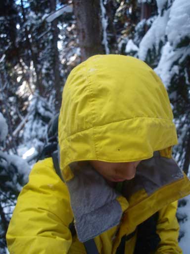
Me in the bush.
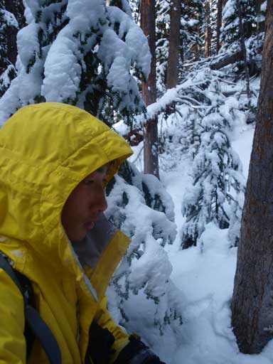
Bushwhacking again. It was wet!
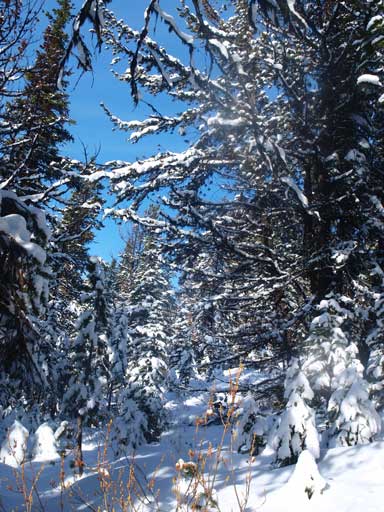
Higher up
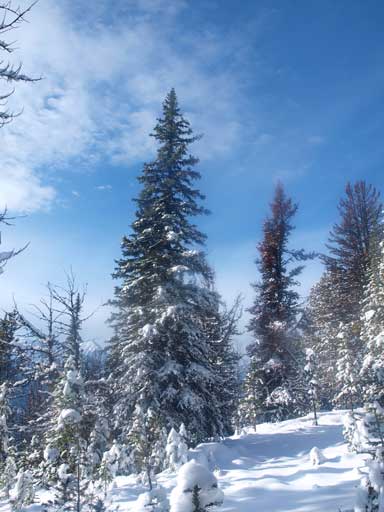
The forest finally gets thinner. Time to put snowshoes on too.
It was all about perseverance: just going uphill. After what seemed like eternity, the snow got knee deep and the forest started to get thinner. Time to change to snowshoes. More post-holing on snowshoes, I eventually topped out on the ridge. WOW!! This could be the best viewpoint for Robson/Resplendent’s south face! I followed the scenic ridge crest towards the summit. It was longer than expected though. There’re actually a few trees on the summit.
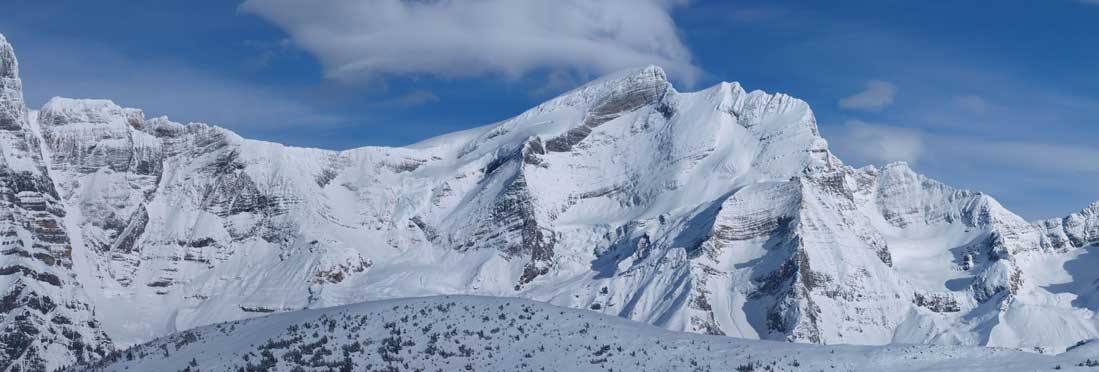
Whitehorn Mountain and Mount Phillips

Looking west deep into Rocky Mountain Trench. Mt. Pierre Elliot Trudeau is visible on far left.
Cinnamon Peak
Peaks on left side are unnamed. Moose Lake is visible right of center.
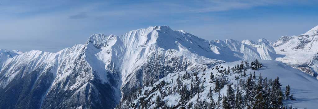
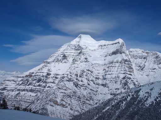
The South face of Resplendent Mountain

Good-looking peaks, but they’re unnamed.
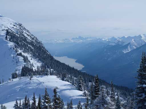
A closer look at Moose Lake
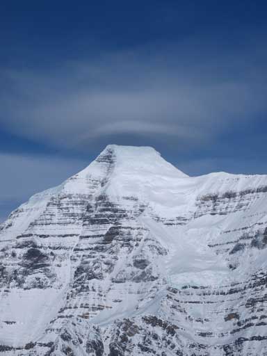
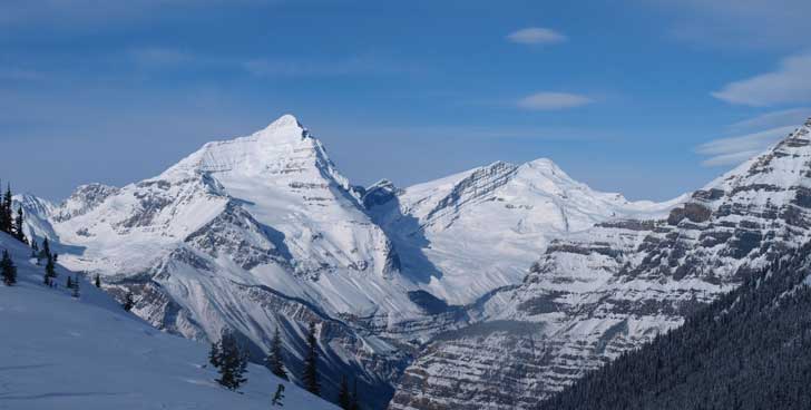
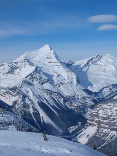
Mount Robson
The impressive South Face of Robson
Resplendent Mountain
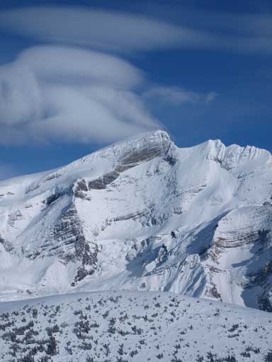
Whitehorn Mountain
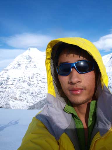
Me on the summit.
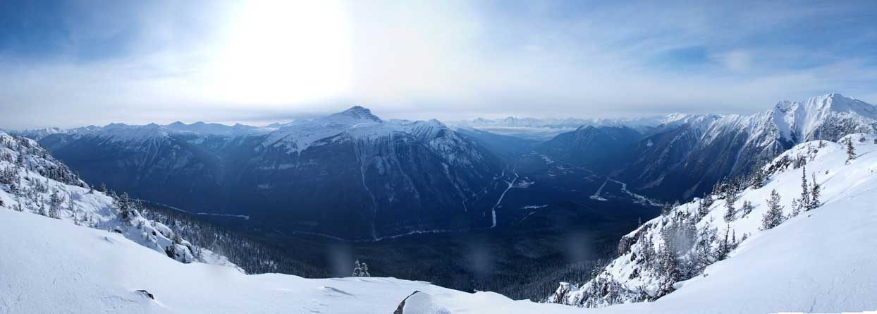
Panorama of Fraser River Valley. The big peak at center is Overlander Mountain
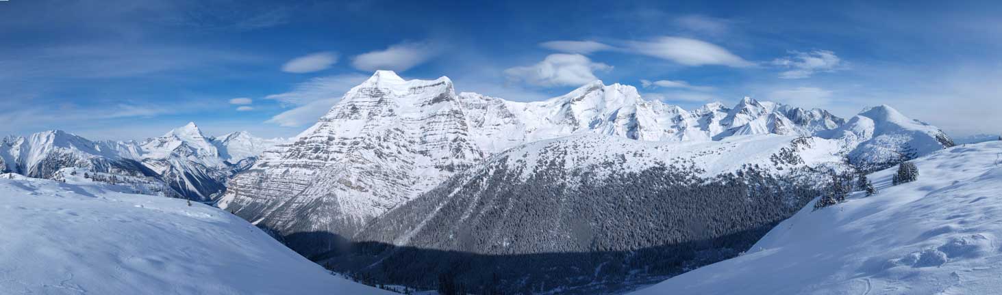
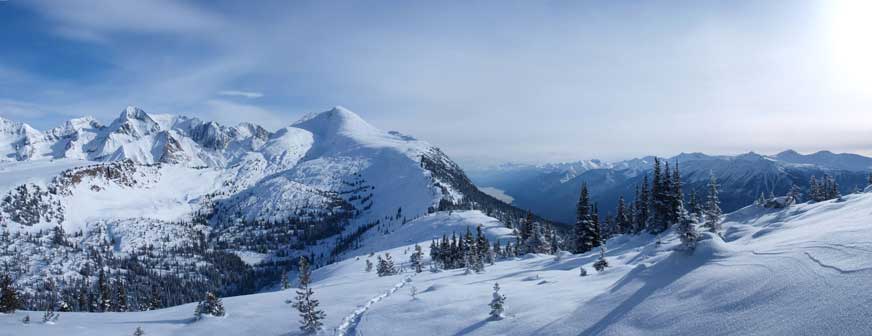
Panorama of Whitehorn, Robson and Resplendent, and other mountains
Due to the coldness, I didn’t do the necessary summit stay. I slowly retraced my footprints down the ridge, and then down the treed face. My round trip time was 6.5 hours. Overall, this was a much more rewarding trip than I’d ever expected. I think my photos have already told the story well, so make sure you pick a clear day to enjoy the scenery.
