The Behinde
August 27, 2017
2018m
Strathcona Park / Vancouver Island, BC
As a satellite peak of the famous Golden Hinde this striking summit called The Behinde is very much doomed to be “overshadowed”. This is very unfortunate as The Behinde is actually more impressive than its neighbour in many ways other than the absolute elevation. The profile is much more rugged. The standard route (SE Ridge) involves very exposed scrambling up to Class 4 while to attain the summit of Golden Hinde you only need scrambling up to 3rd class. The two shares the same approach and strictly speaking the approach of The Behinde is actually a little bit longer than Golden Hinde’s so putting all of these together The Behinde is a pretty damn good objective in its own.
But just as 99% of the others venturing far into this area my primary objective was also Golden Hinde. An ascent of The Behinde was a simple add-on and not to my surprise my partner, Adam (Gimplator) wasn’t very motivated or impressed. While Adam opted to hike back to camp I decided to continue on my own. This felt like a very adventurous decision as I had no beta other than a simple sentence quoted from bivouac.com, that the SE Ridge goes at a “loose and exposed 4th class”. Not having any experience with the island’s grading system this pretty much tells me nothing other than “it might or might not go”. To make it worse I didn’t bring rock shoe nor rope so I figured my chance of success was like 80% maximum. (Later after this trip I bought the “bible” of this area, Island Alpine Select by Philip Stone. This book has pretty much all of the route info you need as a visitor so highly recommended).

Ascent routes for Golden Hinde, The Behinde and Mt. Burman. GPX DL
Adam and I departed from each other after exiting the lower gully on Golden Hinde’s standard route and then instead of losing elevation down to the “climber’s tarn” and then regaining them all, I opted for a side-hilling traverse across the entire lower south face. This did save me a ton of elevation gain but was surely a painful process. After the traverse I merged into a gulch feature and then ascended some low-angled snow aiming at the distant Hindes’ col. From the col I turned my bearing directly at the base of The Behinde but the next stage was much longer than expected. The view was very foreshortened plus there’s a sizeable elevation drop involved.

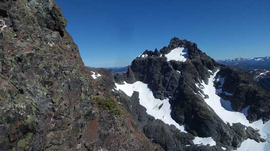
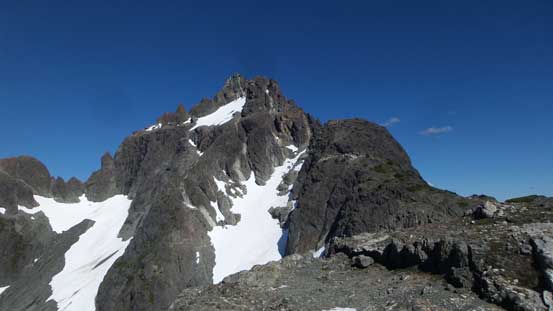
A view of The Behinde from near Hindes’ col
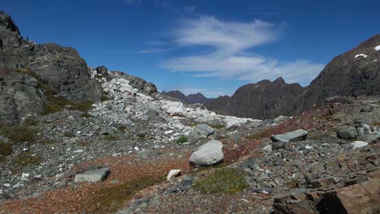
Arriving at the broad Hindes’ col
All the sudden I could look down into the valley to the north
The plod to the base of Behinde took longer than anticipated

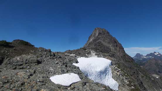
There we go The Behinde
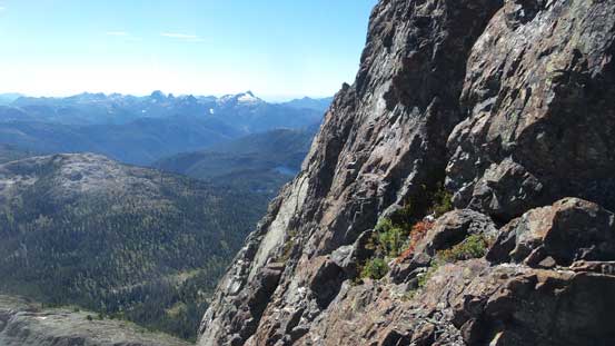
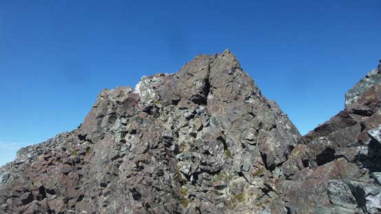
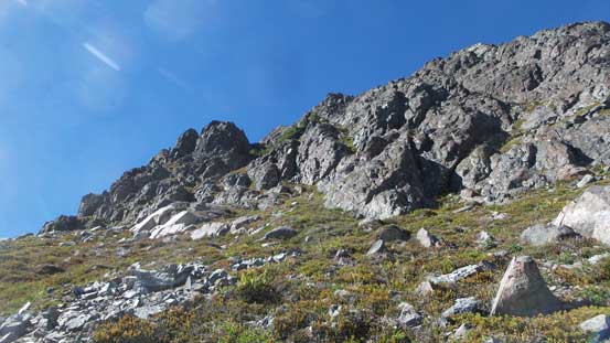
The ascent of SE Ridge started off pretty easily and the only difficulty on the lower half was avoiding the dense krummholz fields. This required lots of zig-zagging but with a bit of patience it’s a simple fair. And then the terrain steepens up and I had to ascend a couple tight, grassy chimneys. And then all the sudden I was facing against a knife-edge. There’s no way to attack this step directly and the only option was traversing a narrow, deadly exposed ledge on climber’s left side. About 5 meters onto the ledge I carefully picked up a 4th class line, straight-up to get back onto the ridge crest. A fall here will take you cleanly off the face so bring your “A game” if “scrambling” this.

The typical terrain on the lower SE Ridge

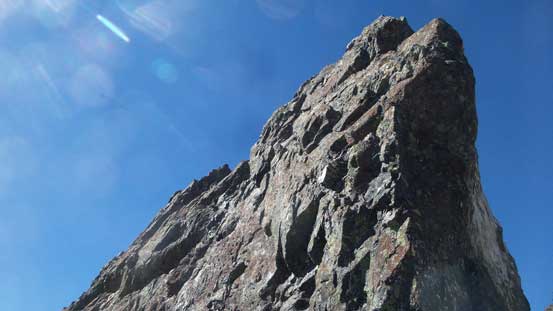
Getting rugged near the top…
Now what?!
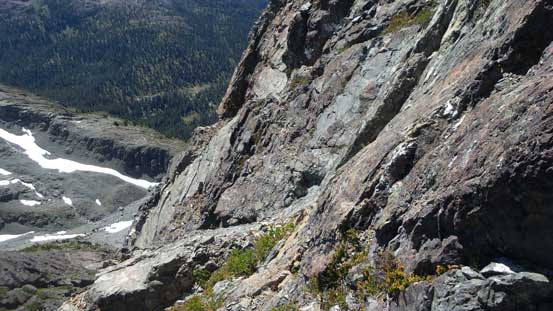
The first key ledge traverse is somewhere on this face…
Upwards along the ridge I was looking at a second troublesome knife-edge and again I had to detour on the climber’s left side. This ledge traverse was just as deadly exposed but the climbing was easier overall, and then after ascending a short, but loose gully I was pretty much next to the false summit. The true summit was to the north and the traverse did not look any easier than what I just did. Thankfully the view was deceiving as the scrambling would never exceed “high 3rd class” with the crux being an awkward step getting into a notch. Climbing out of the notch was quite loose although I felt pretty OK since I’m a Rockies mountaineer. Shortly after that the summit was attained.
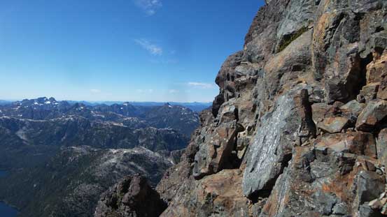
Looking back across the south face towards Golden Hinde
There we go the second exposed ledge traverse…

Passing two rappel stations indicates I probably should have brought a rope here…

Looking down into the first notch along summit ridge traverse

This is the true summit side of the notch

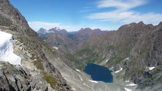
The east face is a straight down drop into that valley and lake

A review shot of the tricky down-climb into the notch
A brief break from the constant scrambling by taking a scenery shot
Not far from the summit now

Summit Panorama from The Behinde. Click to view large size.

This is the upper North Face of Golden Hinde. Its north ridge likely has only 1 ascent
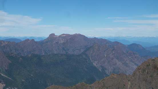
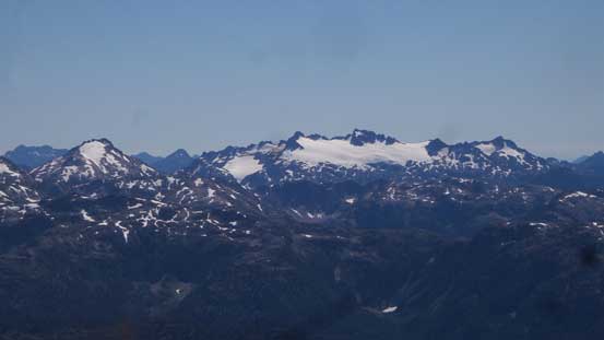
This is looking at Mt. Cobb and Mt. Filberg area
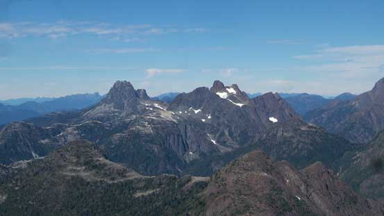
The core of Strachcona – Mt. Colonel Foster and Rambler Peak

Elkhorn Mountain trying its best to compete against the neighbouring giants

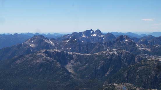
What a peak – Mt. Colonel Foster
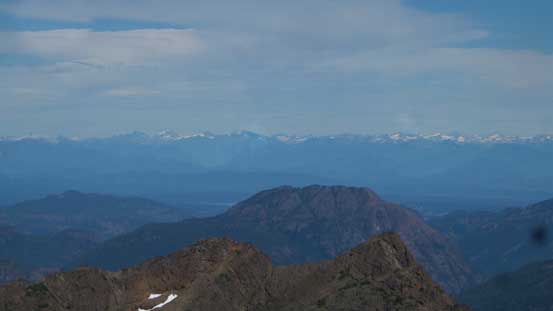
In the distance I could see a clear lining of the Coast Mountains
Mariner Mountain to the south

This is looking NW towards Rugged Mountain way in the distance on the horizon
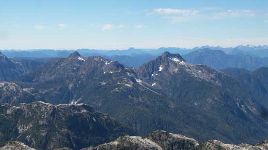
Mt. Kent-Urquhart and Mt. Donner in the foreground
This is looking at the iconic Matchlee Mountain

There’s a lot of lakes to the west
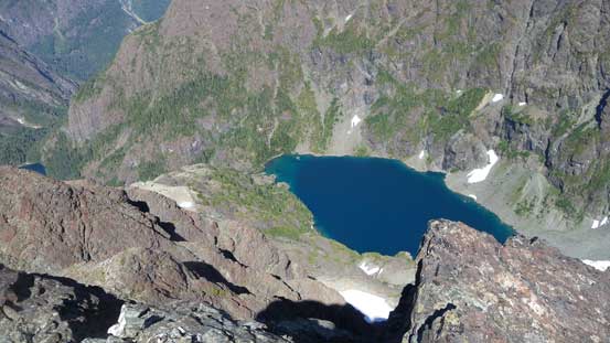
This lake has been catching my attention for the whole day…
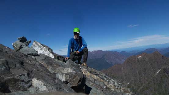
Me on the summit of The Behinde
Another problem of this day was the ridiculous heat. I was running very low on water now so I had to get down as quickly as possible. There’s no water source on The Behinde whatsoever and my best chance was a patch of snow on the north side of Hindes’ col. Reversing the summit ridge traverse required some careful work but pretty easy going, but then I had to face that two ultra exposed ledge sections. The second one felt particularly exposed as I tip-toed down the loose 4th class holds while staring down the entire south face into an abyss. Thankfully the scrambling was very short and soon enough I was back onto easier ground. Lower down I lost my path and had to wallow through some krummholz which wasn’t fun at all.. The good thing, I did find a decent source of running water about 50 meters down the north side of Hindes’ col. Too tired to resume I pretty much just collapsed there for an hour.

Going down now.

NF of Golden Hinde

This is looking back at Burman Lake and the rest of the (long) way out…
Off the complicated terrain now. Lots of steep grass here…
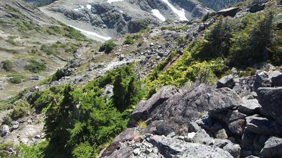
If you don’t pay attention you’ll have to swim through krummholz

A review shot of The Behinde
One last look at the north face of Golden Hinde
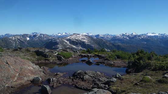
This muddy tarn looks ironically beautiful on a picture…
After a while I had recollected myself. Figuring I probably shouldn’t let Adam wait for too long I immediately got up and resumed the return. Down from the Hindes’ col this trip rejoins back into my Golden Hinde’s account.
