Mount Mulligan
December 6, 2016
1534m
Squamish / Mamquam Main FSR, BC
Mt. Mulligan is one of those forested summits accessible from the Mamquam Main FSR behind the district of Squamish in the Sea-to-Sky corridor. It has a higher neighbour, unofficially known as “Anif Peak” although those who aren’t fan of bivouac.com might argue that “Anif Peak” is nothing but just the true summit of Mt. Mulligan. Regardless the naming status, the dual of Anif/Mulligan starts to gain some popularity and makes great winter objectives. Vlad and I were optimistic thinking it’s well possible to tag both as a before-work exercise but the effort required was an exhausting all-nighter push with virtually zero sleep (for me at least). After finishing Anif Peak we still had plenty of time to kill so decided to stick with the original plan to knock off Mt. Mulligan, as we were there anyway, so why not…
Anif Peak and Mt. Mulligan winter ascent route. GPX DL
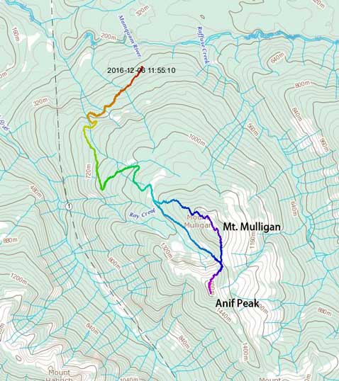
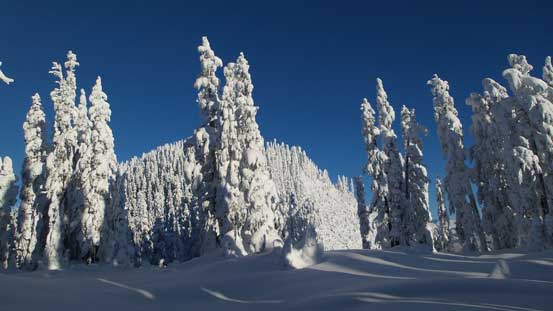
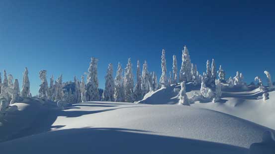
The ascent of Mt. Mulligan via the broad forested south ridge did not look exciting at all. The previous parties did not venture up this way and the snow was very unconsolidated making some deep post-holing, not to mention the occasional weak spots that we discovered. It felt like a mine field with lots of careful route-finding in order not to fall into a tree well, but with solid attitude we did manage to make some steady progress. And sure enough, the terrain tapered off and we arrived at the broad summit area. It was wooded but we did get some glimpse of good views by wondering around looking for some angles between the trees.
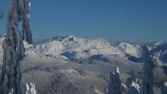
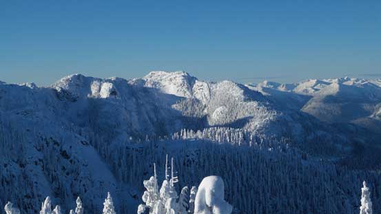
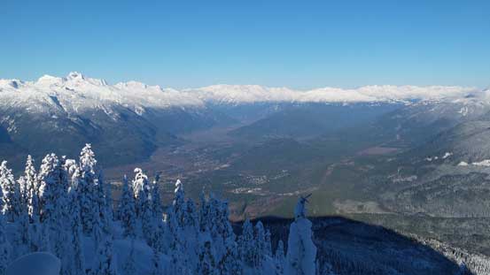
From Anif/Mulligan col, looking ahead
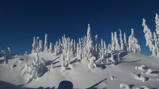
Very neat winter scenery around here!

Cool tree sculptures

Ascending through the typical forested terrain

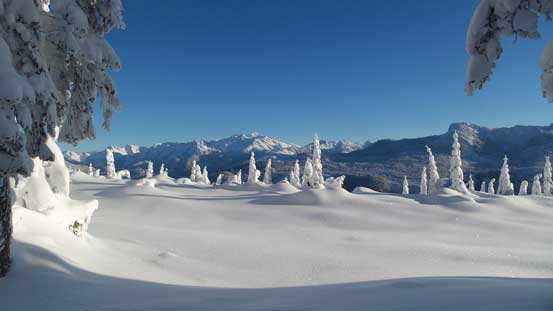
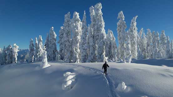
Arriving at the summit plateau
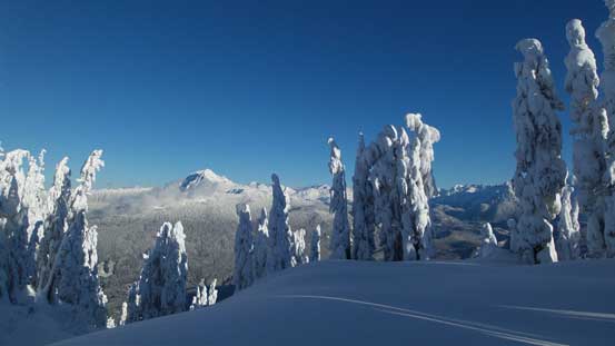
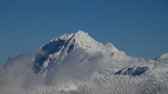
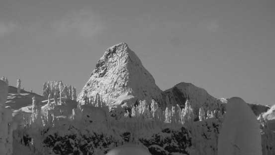
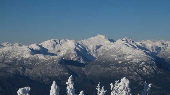
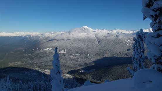
The bulk of Mt. Garibaldi massif looming behind
This is the highest point
More about the summit plateau. We wondered around a bit for some views
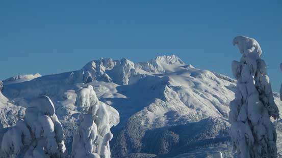
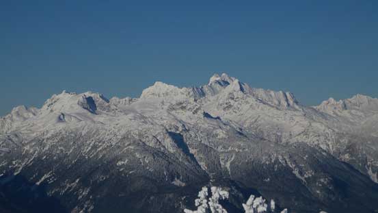
A zoomed-in view of Atwell Peak/Mt. Garibaldi massif
Vlad going for the highest point
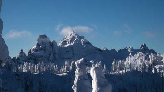
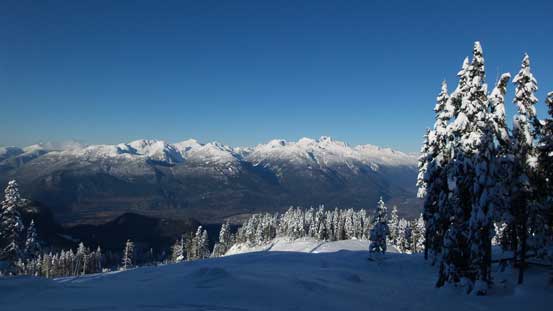
Isosceles Peak and Parapet Peak in McBride Range
Vlad and I climbed Mt. Habrich last year – a tough one by Shannon Creek basin.
Mamquam Mountain – a gorgeous, but complicated peak that I also bagged last year
The trio – Ledge, Sky Pilot and Copilot.
This is the undulating ridge section along Al’s Habrich Ridge
Mt. Sedgwick
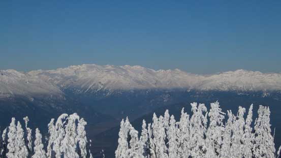
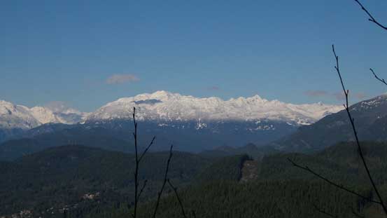
Looking far up Squamish River Valley towards peaks by Ashlu-Elaho Divide
Mt. Tantalus

Me on the summit of Mt. Mulligan

A partial panorama view from the summit of Mt. Mulligan. Click to view large size.
With a time constraint to get back home before 3 pm we couldn’t linger too long up there despite the amazing views. On the descent we opted to go down the broad NW Ridge since we saw plenty of ski tracks down that way. It was a good call as that ridge was a wee bit more scenic than the steep south slopes. The ridge joined the logging road at elevation of roughly 1200 m and the rest of the descent was monotonous and uneventful.
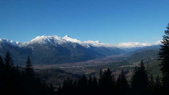
The NW Ridge gives expansive vistas down the Squamish Valley
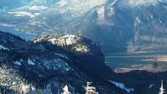
Looking across the Mamquam River valley towards Paul Ridge and the Diamond Head area
The Tantalus Range on the show
Even the top of Stawamus Chief was visible

Re-joining the logging road now
Much lower down now, looking at Cloudburst Mountain

Mt. Alpha looks like a Himalayan giant
One last look at Squamish Valley
Our round trip time 7.5 hours on a normal pace and given the amount of trail-breaking I think we did OK. On hindsight I should have considered skiing this objective.. After loading the car I had about 3 hours till the deadline and that was plenty enough to drive through downtown gong show and then drop Vlad off at his home in Richmond. I also earned about half an hour’s napping time (in the car) and I greatly appreciated that.
