Pigeon Mountain
June 24, 2012
2394m
Canmore / Bow Valley, AB
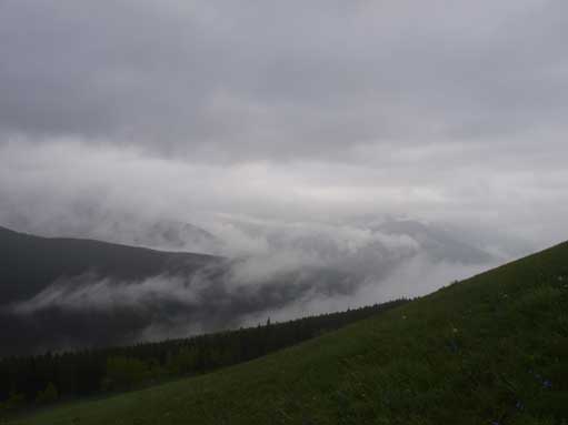
On this past Sunday the weather played a joke with me. I ascended Pigeon Mountain in a mix of rain and fog and the visibility was less than 10 m on the summit. But partway down, the high clouds cleared and left dramatic low cloud scenery to me. Speaking this objective, it’s one of the easiest one can do around Canmore and Bow Valley. There’s no “scrambling” involved and for peak-baggers like myself it makes the most sense to do it in either winter conditions, or less than ideal weather.
I woke up in the morning in Canmore and couldn’t see anything except for clouds… I quickly made my way to the information center and checked the latest weather forecast. It showed cloudy with showers and no sustained rain. It wasn’t as bad as I thought so I decided to bag at least something. A quick glance at my maps I decided on Pigeon Mountain, so after a quick breakfast I soon started to drive towards Dead Man’s Flat.
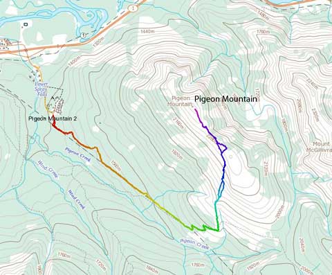
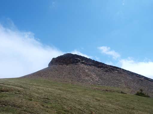
Pigeon Mountain standard scramble route
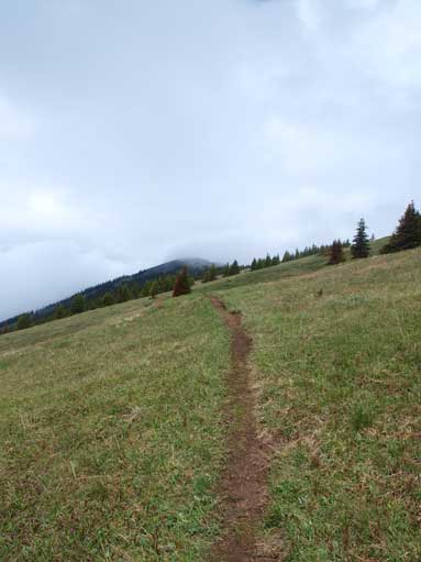
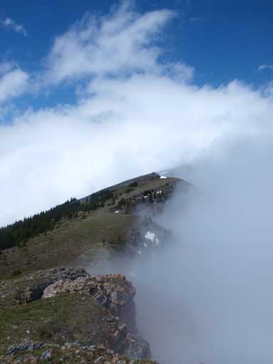
The approach is via Skogan Pass trail which actually follows a cutline. The initial 4.7 km went on and on and it was quite boring. Muddy condition was common due to the heavy rainfall recently. After 4-5 switchbacks, look closely to your left and you will find a hiker’s sign of trail closure May 1 to Jun 15. Here you have to turn left on a much narrower trail, and follow it all the way to the top. In winter this trail will be snow covered and hard to find. I broke through the first layer of cloud, only to find there were more layers above me. Just below the impressive face of the south summit, I entered the upper layer and white-out the rest of the way. On the summit, the only picture-able stuffs are the cairn, my backpack, and a squirrel. I stayed for about 40 min hoping the sky could clear, but it didn’t.

The approach trail – Skogan Pass Trail. It’s also bike-able
Broke through the first layer of clouds. I was above treeline at this point.

This is the summit..
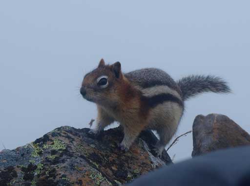
A squirrel adds to the boring wait
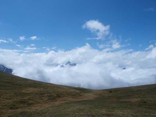
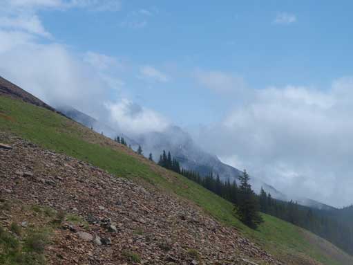
Just after descending for about 200 m elevation, the sky cleared a bit and I could even see a few patches of blue colours. I stopped the descent and waited for another 20 min or so. More blue colors started to show up. I soon re-ascended to the saddle between the north and south summit. Towards west was the dramatic cloud scenery, while the view towards east was still white. I was satisfied about the view and resumed the descent. Not far down I entered the low clouds again, and rest of the day back was just a slog on the never ending trail.
I decided to go down since there was no sign of improvement
Now I was shone by sunlight. This is the lower north summit
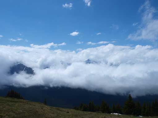
Wow, great views!
I went up a bit to the rige.
And, here is what I got from the ridge! What a bonus
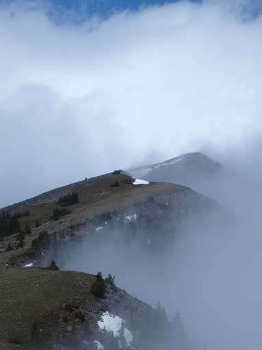
Same as above
Now it’s the time to go down
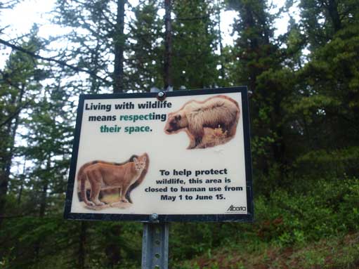
There is a season closure of this trail, make sure you know this before coming.
In the afternoon all the clouds were gone and it turned sunny… With only 5.5 hours daylight time, I did a quick ascent on Squaw’s Tit. Considering the forecast of cloudy with showers and thunderstorms, the day went way much better than what was anticipated.
