Silverdaisy Mountain
November 21, 2015
2068m
Manning Provincial Park, BC
Silverdaisy Mountain is part of the group of 4 named summits immediately south of Highway 3 on the edge of Manning Park. It’s the highest, easiest, as well as the most popular in this group (both in summer and in winter), but not the most interesting one. According to my maps there’s a trail running along Silverdaisy Creek on the west side, but if snow covered, the 10-km Cayoose Creek Forestry/Mining Road offers a trouble-free, albeit long approach option from Highway 3 all the way to Silverdaisy/Claimstake, as well as Claimstake/Eastpoint col.
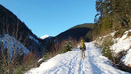
With the high pressure system continuing into this past weekend Alex and I were gaming for a 2-day peak-bagging trip. The Silverdaisy Group was brought up to the table and we figured it’s possible to get all 4 in one trip.. Alex was keen on skiing and from his recent trip in this area we knew there’s supposed to have enough snow right from the start but I didn’t quite like the crusty conditions that I just encountered in the previous two days, so opted for snowshoes. I’ve done many trips on snowshoes teaming up with friends on skis and the pacing can be challenging, but in general not too bad if both skiers and snowshoers don’t mind some waiting at certain spots. As usual for our trip a 4 AM start was in the order and we made to the “trail-head” just after it’s bright enough to see without head-lamp.

Ascent routes for Silverdaisy, Claimstake and Hatchethead. GPX DL
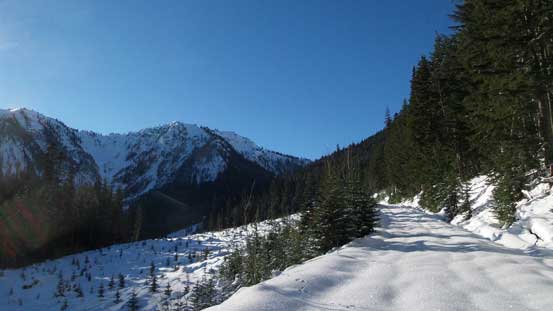
The road was gated right at the start so we couldn’t drive it even if there’s no snow coverage. For the conditions we had, we managed to put skis and snowshoes on right after the gate. The first 3 km or so was actually paralleling the highway making us wonder why not just short-cutting it (I guess doing so would require fording Skagit River).. After that the views started to open up a bit from a few clear-cuts and we could see a glimpse of our objective far in the distance. Further up there were quite a few confusing branches we did some guess work as which was the main road. We did guess correctly though, so after a few hours of tedious plodding we made to Silverdaisy/Claimstake col.
Alex skinning up the logging road
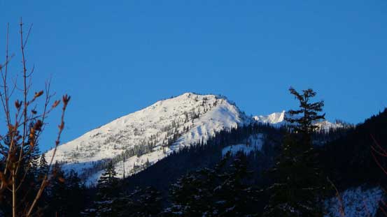
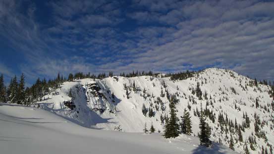
First glimpse of Claimstake Mountain. We ascended from right and descended the face
Further up the road I started to post-hole…
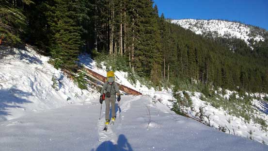
It’s a long plod…
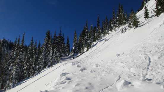
Near Silverdaisy/Claimstake col there’s this traverse
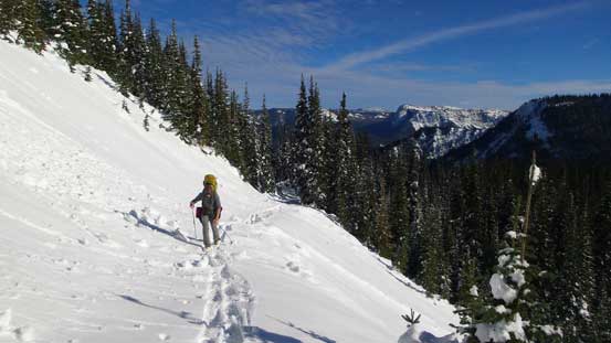
Alex finishing the traverse
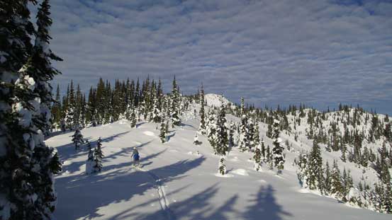
From here the summit of Silverdaisy Mountain was a mere 2 km away with some gentle forested slopes in between, so we opted to ditch our (heavy) backpacks at the col and only carry a jacket and some food. These slopes was classic ski terrain and the snow condition wasn’t nearly as crusty/icy as the day before so I was having trouble keeping up with Alex, even with him doing all the trail-breaking. But nonetheless it’s not a long way up so after a few rolls we made to the top, surprisingly to realize it’s actually partially forested…
Eastpoint Peak from partway up Silverdaisy
Alex and the typical terrain
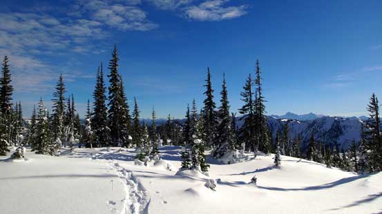
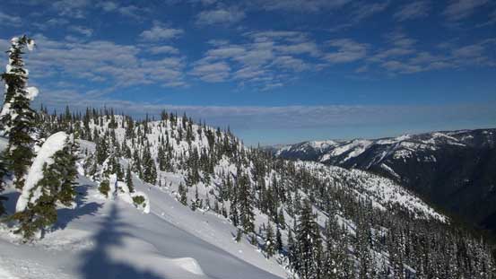
Following the broad ridge

The skin tracks
Winter wonderland!!
Looking back from partway up that broad ridge
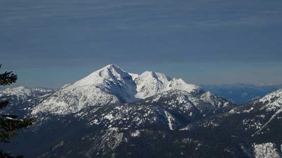
Started to see Silvertip Mountain

Here’s an opening area. Mt. Brice behind

The same open slope
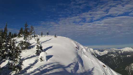
Almost there
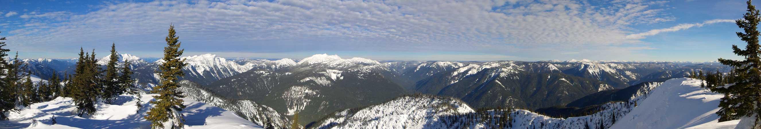
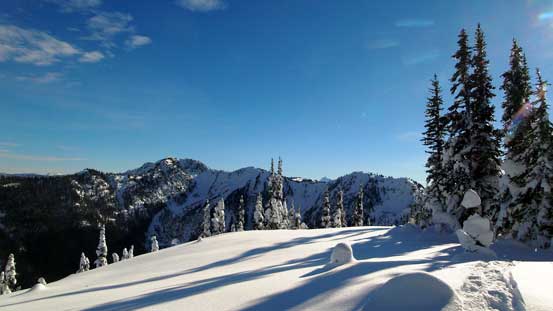
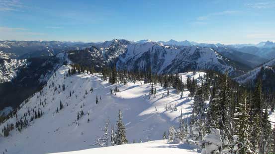
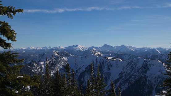
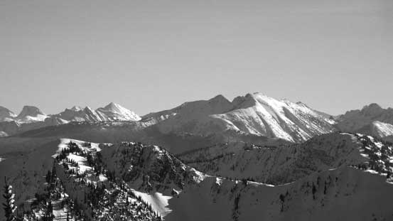
Partial summit panorama from Silverdaisy Mountain. Click to view large size.
Snass Mountain which I bagged a month ago

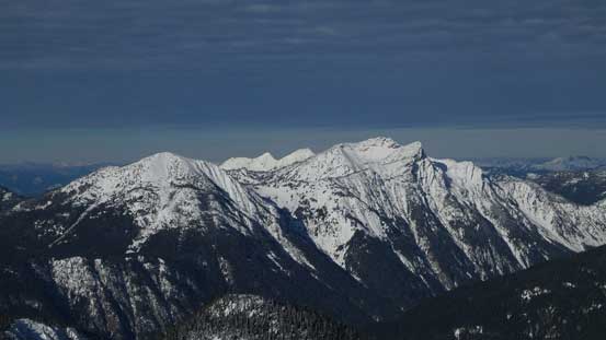
Here’s the typical Manning Park scenery
A zoomed-in view towards the Three Brothers and the Fourth Brother
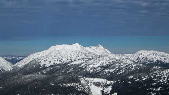
Mt. Outram catches one’s eyes from everywhere
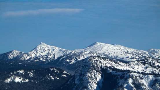
Mt. Dewdney is the highest peak. Mt. Ford is the first bump from left
More Manning Park scenery looking south-east

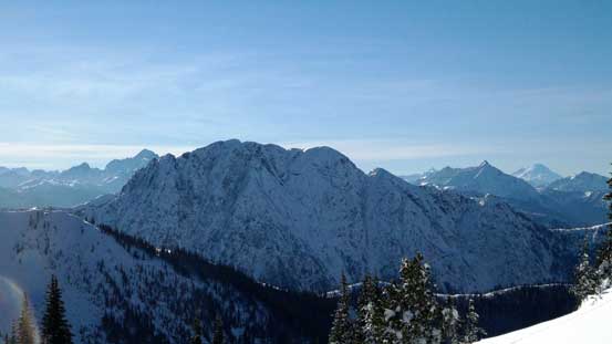
Silvertip Mountain is a giant with near 2000 m relief from all sides. It’s the 34th most prominent in entire BC. If the Skagit Road is good I’d like to try it next year…
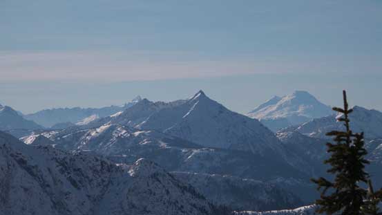
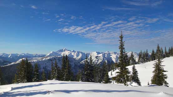
Whitworth Peak with Mt. Baker behind

The double-summit of Hozomeen Mountain with the bulky Jack Mountain behind
Frosty Mountain is a Manning Park classic (although most folks don’t do the true peak)

Castle Peak just across the border

Me on the summit of Silverdaisy Mountain
We didn’t stay too long on the summit as we were far from finishing the day yet. Alex enjoyed some fine skiing down the slopes while I simply plunged down the soft snow, and in no time we were back at the col.
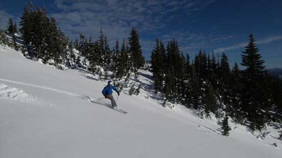
Alex having fun skiing down
The N. Face of Mt. Brice (not to be confused with the massive N. Face of Mt. Bryce)…

Looking back

Silvertip Mountain

Typical, typical..

Eastpoint Peak and the terrain on Silverdaisy
Looking back from halfway down
It surely felt great to ascend a peak without having to carry our backpacks, but our luck would be over soon. The plan was to ascend to the summit ridge of Claimstake Mountain (or up and over it to the other side) and bivy, so that meant hauling all of our gears up… And the terrain ahead looked quite steep…
