Mull Peak (Murray NW)
October 23, 2021
2153m
Lytton, BC
“Mull Peak” is an unofficial named randomly assigned by bivouac.com to the summit about 1.5 km north-west of the officially-named Murray Peak. This peak is higher than Murray Peak and subsequently boasts over 400 m prominence. This is also one of the higher summits in Clear Range between Lytton and Lillooet. I personally do not like the name “Mull Peak” at all but I figured with the prominence status this peak has to count as a separate summit. I would rather just call it the NW peak of Murray Peak but with the bivouac’s name already adopted on Google Earth I eventually convinced myself to reluctantly also use this silly-ish name.
The weather forecast for this past Saturday was rather dreary anywhere closer to the coast. The area with the lowest chance of precipitation was in the vicinity of Lytton. Alex and I made the tentative plan to hike “Mull Peak” and Murray Peak and Ben B. decided to join us at the last minute. The three of us grouped in Abbotsford at 6 am and a few hours later we made to the burnt town of Lytton. The entire town had vanished but the gas station was still functioning. We continued northwards to Laluwissen Creek FSR. A total of over 15 km up this FSR system was needed. The road was not as smooth as I had hoped for, but also did not boast any troublesome water bar. I managed to drive us to the base of “Mull Peak” roughly where exactly Chris H. started his hike last year. Alex and I had talked about to drive farther to try the ATV road on the north ridge but with Chris’ beta we decided to just follow the known.
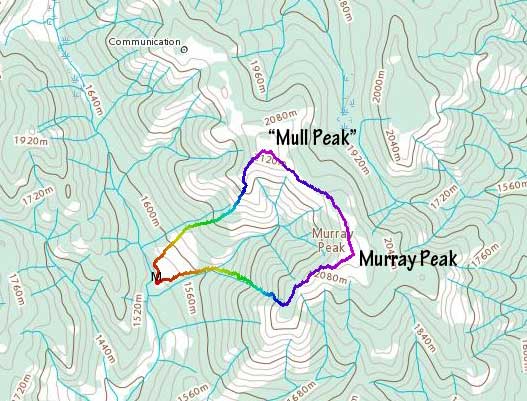
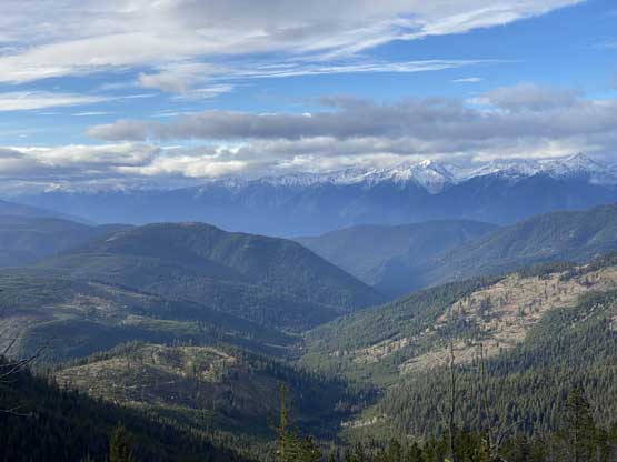
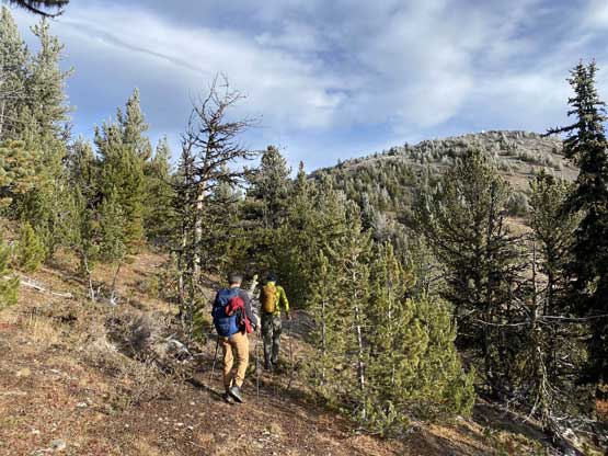
We had Chris’ GPS track loaded but we eventually took a variation of his route. In reality there’s no “defined” route to slog up the SW slopes of “Mull Peak”. Any line would work. For the first 200 m elevation we ascended the cut-block straight up and to our surprise, the going was actually quite smooth. We came across numerous dirtbike trails but none of them was heading the direction we wanted. We then veered a bit climber’s right and followed a broad rib feature that eventually brought us all the way to the flattish spot under the final rise. The views opened up while grunting up this stage and the weather had been sunnier than expected. The final rise to the summit was then easily ascended and we made to the top in exactly 1 hour after leaving the truck.


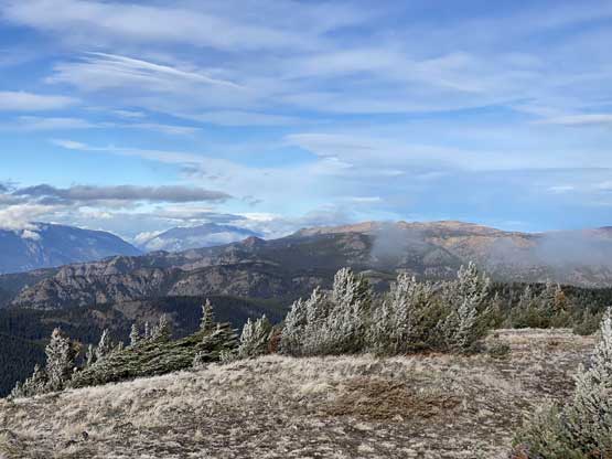


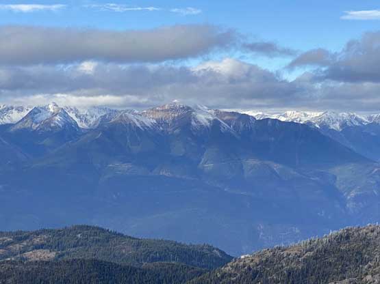

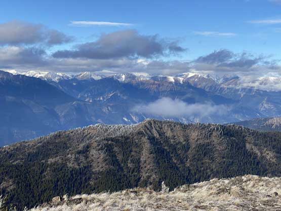

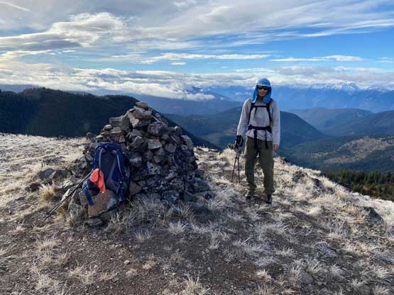
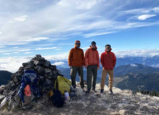
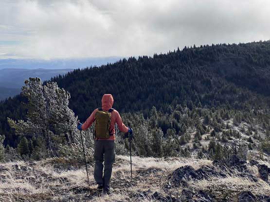
The views were rather expansive from this summit so we took our time soaking in the views. Alex went down a little bit to the north to check out that ATV road and the conclusion was that we made the right call to not use that road. There’s no way could I drive my truck to the summit, so the route we took would be the most efficient way to get up here. The summit was a bit windy and chilly so we soon started the traverse towards Murray Peak.