Vermilion Peak
January 5, 2013
2648m
Kootenay National Park, BC
Vermilion Peak is better known for its inclusion in Alan Kane’s famous Scrambles in the Canadian Rockies but the route described there appears like a grunt up a prime bear country. As a summer objective it’s just not that appealing but folks who venture a lot in the winter know it’s also included in Chic Scott’s Summits and Icefields. As a ski ascent it’s well written in Vern’s trip report and apart from some avalanche terrain the summit ridge is likely very corniced and exposed. I wasn’t sure if I could handle the mountaineering terrain up there and you can see from the trip planning stage this was not even the original objective.
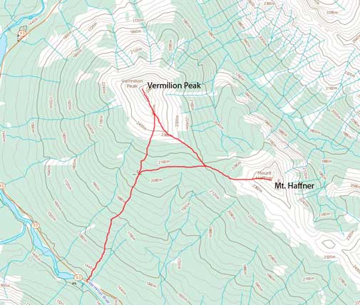
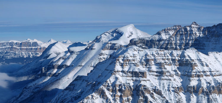
Vermilion Peak and Mt. Haffner winter ascent route
This was the 4th day of my new year snowshoe peak-bagging trip. After 3 days of intense trail-breaking, I still had enough energy to push another ascent, so at Canmore MacDonald, I turned on my laptop again… Kevin Papke was planning on Mt. Haffner which I had been wishing to do for a while already. Of course I’m interested in. I also managed to convince Grant (Granticulus) to join me on Mt. Haffner. So 6 of us, 4 skiers (Kevin P, Kevin B, Vern, Eric), and 2 snowshoeers (Grant and I) met at Numa Falls Parking lot at 9 am in the morning. Weather was cloudy, but again, just like the day on Emerald Peak, we were hoping for inversion.
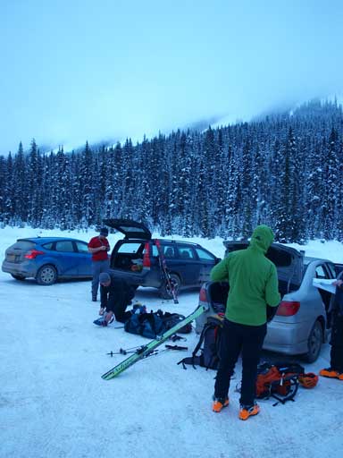
Gearing up at the trail-head

Vern skinning up
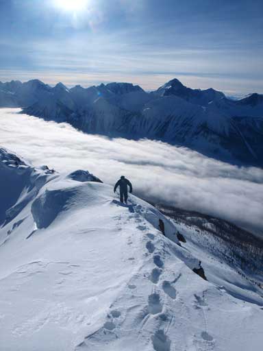
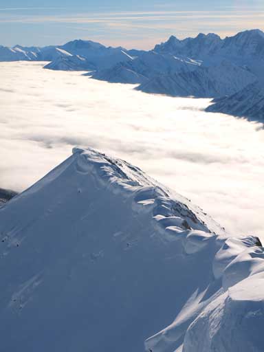
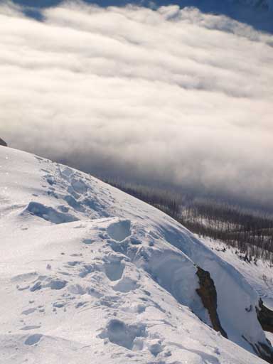
We were lucky to find packed ski tracks up the treed slope which saved us a lot energy and time. As we gaining elevation, we noticed the trail venturing more towards climber’s left than we should for Mount Haffner, but we decided to just keep going. Following tracks is always better than breaking trails by ourselves. Higher up, just like 2 days earlier, we entered the clouds, but soon broke through. Inversion again!
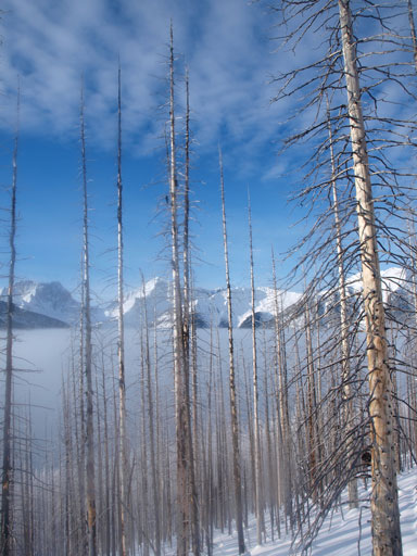
Already neat views through the forest
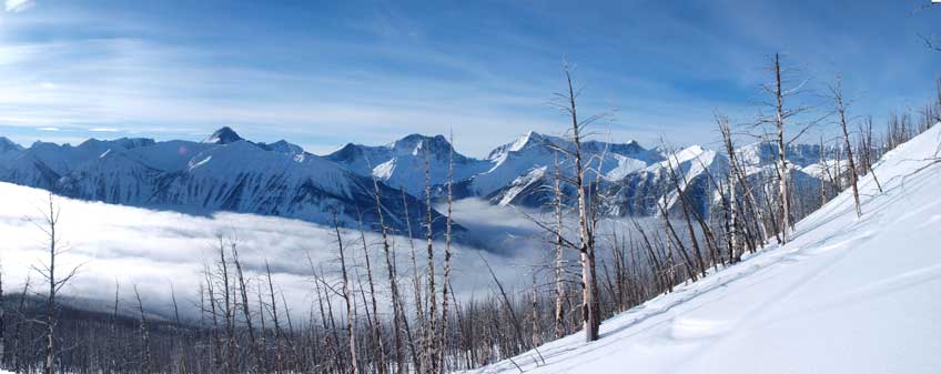
Great view from treeline
Since we were in the trees, we couldn’t see where we were going. Further up, a glance to Mt. Haffner revealed that we were too high on Vermilion Peak. Our group got separated at this point, I hadn’t done Vermilion yet so I decided to give it a go first, while Vern decided to ski down to the col aiming for Mt. Haffner. Grant was following me up Vermilion, while Kevin Barton and Eric eventually joined Vern on Haffner. Kevin Papke hadn’t showed up yet. I didn’t bother to follow the tracks higher up since I was snowshoeing, and we quickly made to the south ridge. I managed to keep snowshoes on all the way to the false summit, where the ridge became narrower and sketchy.
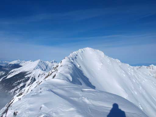
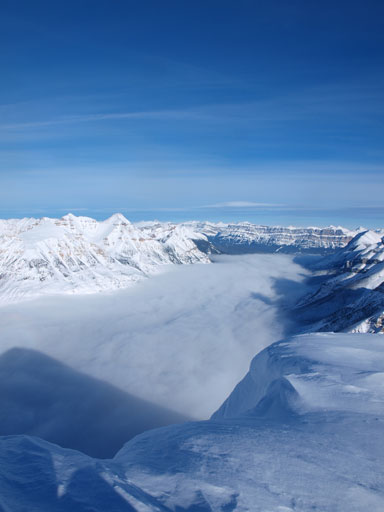
True summit of Vermillion and the summit ridge.
Stanley Peak

The Rockwall and The Goodsir Towers

Mt. Gray
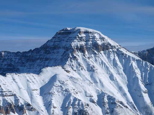
Hewitt Peak
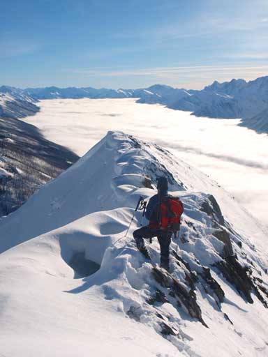
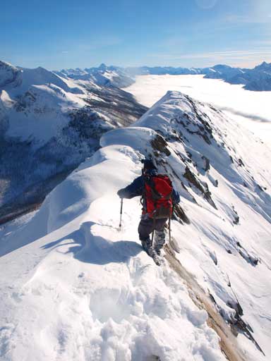
It didn’t look as bad as I thought thank to the big cornices hanging on climber’s right side making it appear “wider”… Those cornices were very suspicious and I couldn’t trust every single footing without carefully probing. At places the actual ridge narrows to a sharp knife edge. I’m sure it won’t be like this in summer time, but given the fact I couldn’t trust the snow, following the rock edge was the only option. The rock wasn’t that stable neither and there were a couple of loose pieces that I dislodged. The snow was also rock hard at places, and sugary at other places. I couldn’t afford a slip so I strapped my crampons on for the rest of the ascend. Grant was following my footprints so he didn’t need crampons. The strategy was to be really patient and careful, and eventually we made to the summit. It was more than a little dicey!

Me just about to challenge the heavily corniced summit ridge. Photo by Grant

Me starting the summit ridge. Photo by Grant
Grant finishing the last few steps

Grant posing near the summit
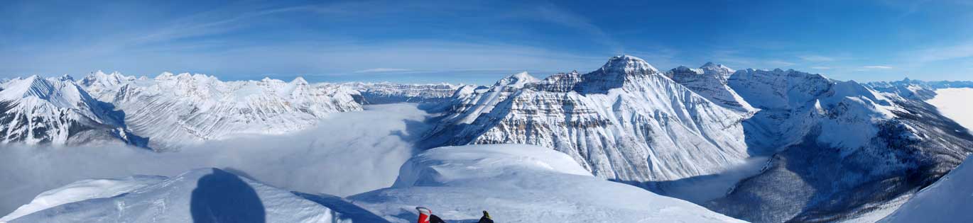
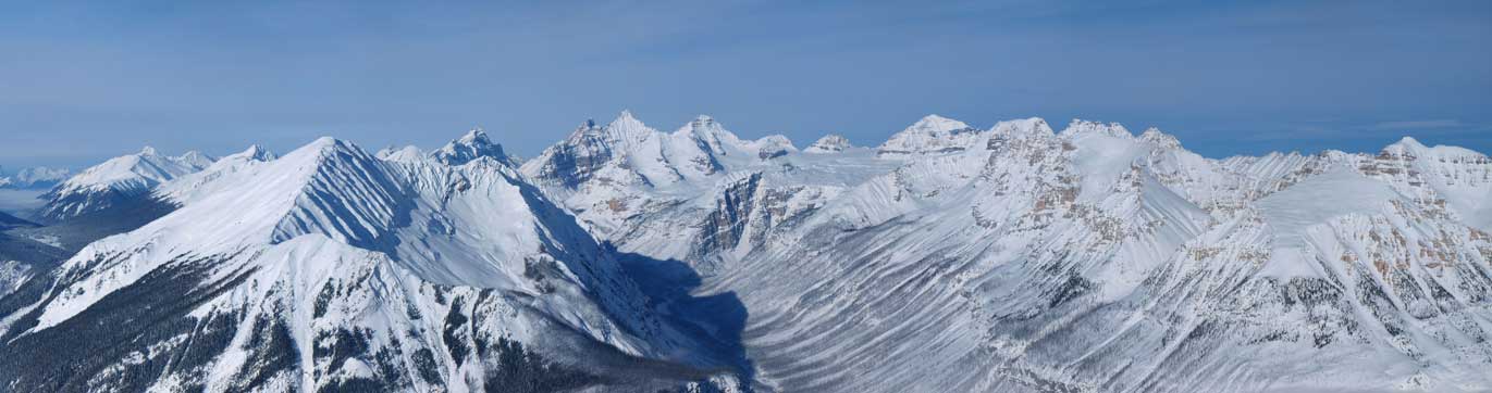
Summit view towards Banff side. Click to view large size.

Summit view towards Vermillion River Valley. Click to view large size.

The Goodsirs
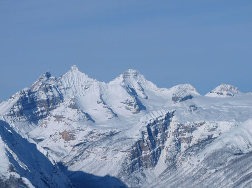
Giants in the “Ten Peaks” – Hungabee, Deltaform, Allen
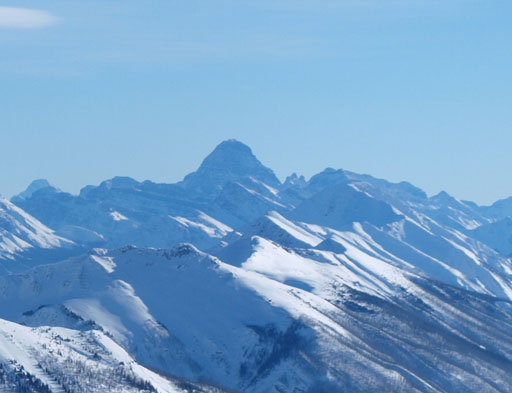
The mighty Mt. Assiniboine
Mt. Whymper (L) and Castle Mountain (R)
Storm Mountain is that obvious ramp and appears very doable in winter too!

Me on the summit.
Looking back at the heavily corniced summit ridge.
Neat clouds and snow
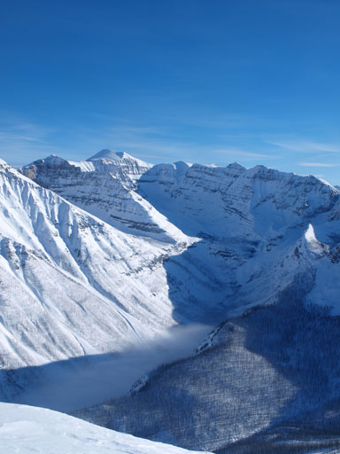
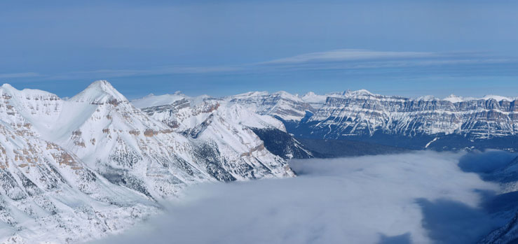
Mount Ball and Haffner Creek Valley
Vermilion Pass Area
The distant “Ten Peaks” show up. Hungabee and Deltaform are the 11.000ers.
Since we still wanted Mt. Haffner we had to descend quickly. Retracing our steps back down was definitely easier but still required caution. Even our own steps could be traps. Thankfully we both made back safely. This ridge reminded me the winter attempt of Mt. Lady MacDonald a year ago, and I will never repeat this section in winter… If one day I come back here on skis, I’ll give the summit a miss.
Grant carefully descending the dicey summit ridge.
Same as above. Typical typical!

Looking back at our tracks.

Descending an avalanche prone slope to re-join skiers’ tracks
We soon started the traverse to Mount Haffner, down a steep (and avalanche prone) slope to re-join the skiers’ up tracks. For Vermilion, you can’t avoid avalanche slope. The least steep line would be the south ridge directly from Vermilion/Haffner col. From above, it looked like we would get cliffed out, and that’s why we dropped down to skier’s right (plus we wanted to avoid post-holing for as much as we could).
