Gunung Salak
August 18, 2023
2211m
Java, Indonesia
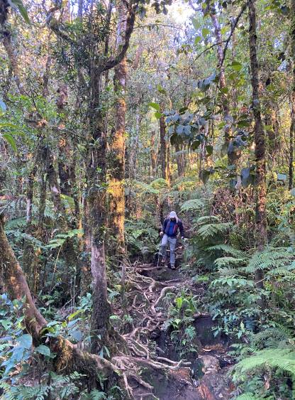
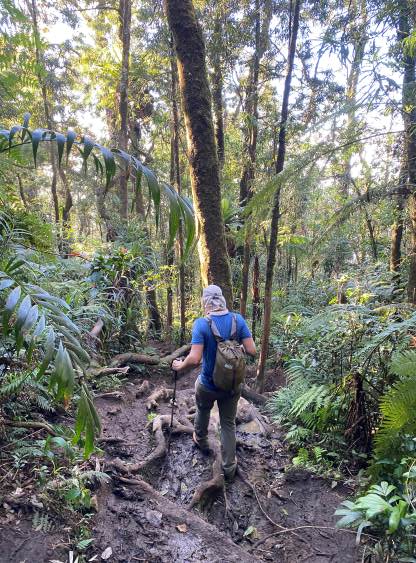
Throughout this trip I’ve been told several times that Gn. Salak in West Java is not a “desirable” objective due to the trail quality and the lack of views, but this is one of the “ultras” on this island that Adam and I must do, whether it’s enjoyable or not. I anticipated an awful day with all kinds of unpleasant terrain, but it turned out to be much better than expected. There was indeed a shit ton load of scrambling on tree roots and mud steps, but we are already used to this kind of jungle trails at this point. The trail was wide enough that there was no thrashing involved, and that’s already “good enough”. I do not think any peak on this island can be worse then Gn. Liman. We had already hit the low on that objective that anything we do afterwards would be better.
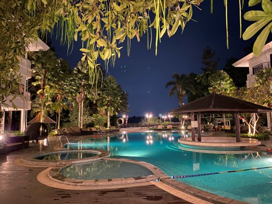
There’s some complications with red tapes due to the Independence Day madness but our driver Alfian had local connections and experience to deal with the barriers. For a few days it wasn’t clear whether we could even make an attempt on Gn. Salak but we eventually figured out that the Cimelati (SE) Route was still open. Through Alfian’s connection we were able to do the registration online but the fee was not cheap (160,000 rupiah per pax). This was also the route that Rob Woodall took three years ago, so all we needed was to follow his GPX track published on peakbagger.com. We later learnt that the lower route had seen some modification that a new climber’s trail had been built to avoid the private property. This subsequently helped us bypassing those aggressive dogs mentioned in Rob’s trip report, but did create some confusion as Adam and I did not come here knowing anything about that bypass trail. The route on Gn. Salak is mostly in the “lower elevation zone” that we anticipated some heat and humidity problems. The solution was to make the ascent mostly in the dark. The fancy hotel that Adam booked was able to make our breakfast at 2:30 am, so we were able to leave the hotel at 3 am. The road to the trail-head was a bit rough but Alfian handled it well. We encountered the same gate (and probably the same man) that Rob mentioned. The man refused us to drive further. Adam and I did not understand the reason, but with Alfian’s translation we figured out what’s going on. We only made to 780 m elevation by vehicle, and Alfian had to drive a little ways down to wait for us.

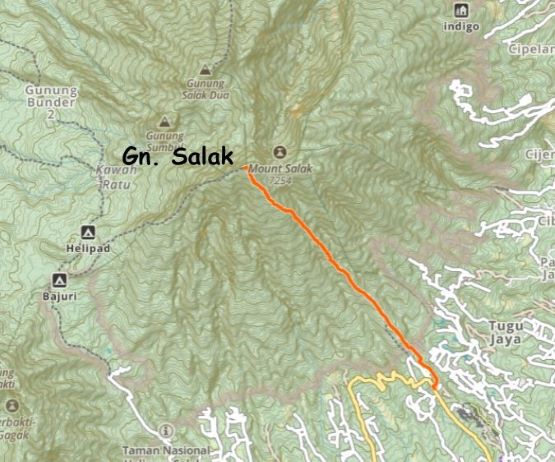
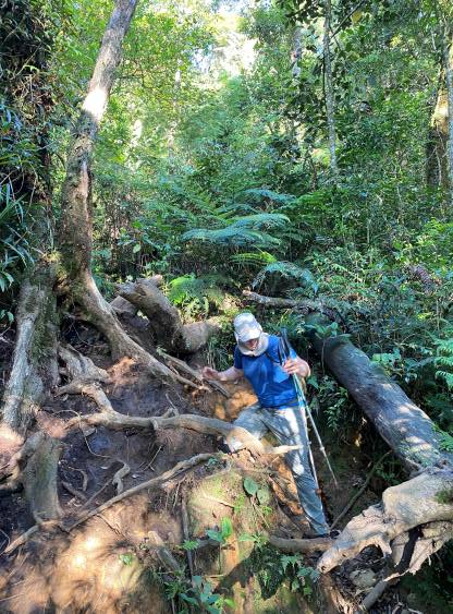
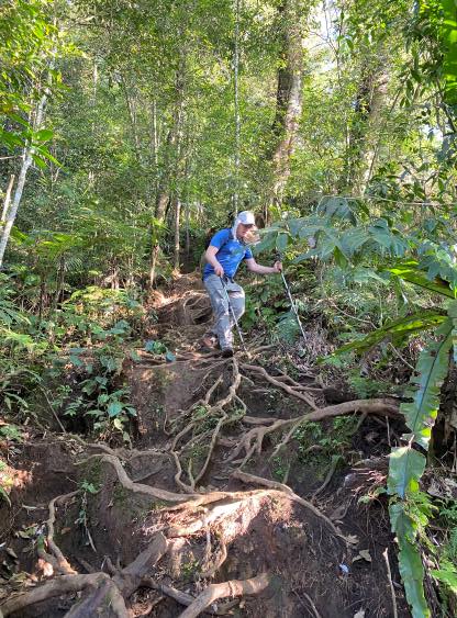
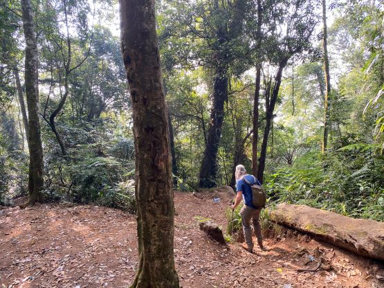
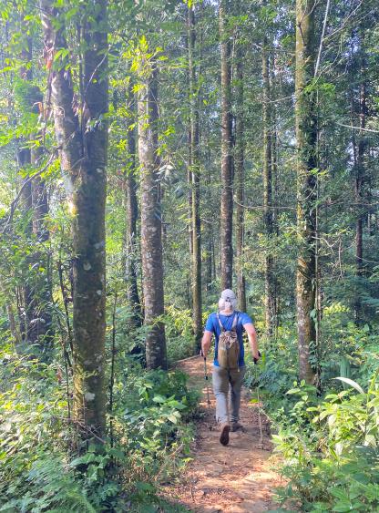
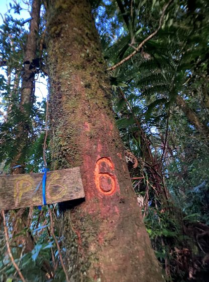
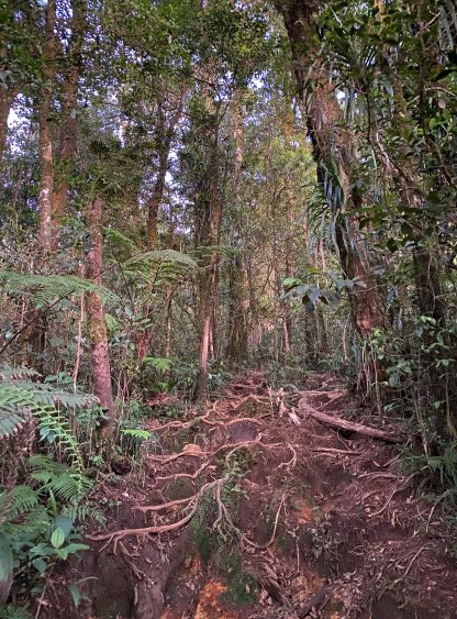
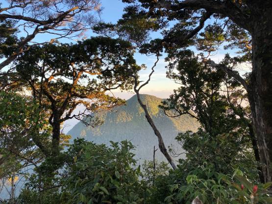
The gate man had pointed out the start of the bypass trail. We appreciated his instruction, because otherwise we would have no idea as this new trail had not been shown on Gaia map yet. The trail did some annoying up-and-downs but I wouldn’t complain. Prior to the outing I was concerning about those barking dogs, but it seemed like we would bypass the dogs problem all together. The new trail eventually brought us to a (closed) registration point at the entrance to the national park, and about 1 km later our route merged with Rob’s GPX track. The grade of the lower half of this trail was actually quite pleasant that we made some very quick progress. The upper half was indeed steeper and muddier with consistent scrambling on roots, but still much better than our expectation. There were a few mandatory 3rd class steps including one with a fixed sling. We of course did not need to use that sling. Higher up the trail became increasingly muddy with some puddles of water. We wondered about leeches but did not observe any. The sun rose behind the horizon when we were about 200 vertical meters under the summit. We sped up afterwards and made the summit in 2 hours 40 minutes, 10 minutes behind Rob’s time. The summit was as expected, forested with minimal views.

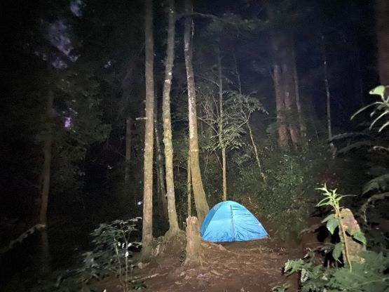
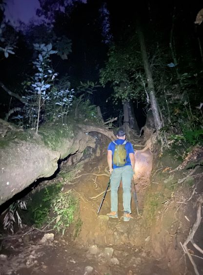


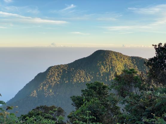

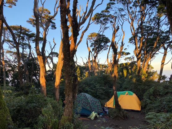

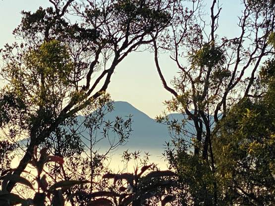
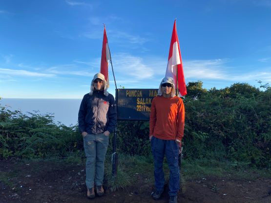
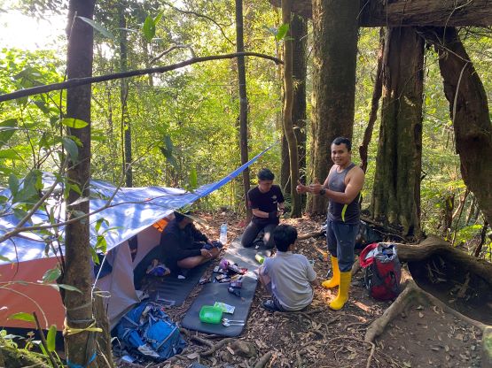
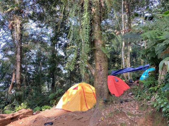
There’s one group camping on the summit and a few more groups lower down on their way up, and that’s it. This is not a popular objective even among the locals. I think the view is very important to these Indonesians and Gn. Salak isn’t one to climb for the views. I did not bring a jacket in this trip so I quickly became cold on the summit. Our stay was fairly short. For the descent the plan was to dash all the way down in a single shot but we miserably failed that. We were quite tired and needed several breaks. The terrain was also heady that we had to pay attention to every single step downwards, and even so we still slipped a few times. I somehow had some fun scrambling down these tree roots, and we eventually finished the round trip in exactly 5 hours. That registration at the park’s entrance was already open but none bothered to check our permits. Our driver had sent me a WhatsApp message about the current vehicle location, which thankfully was not too far away. When we got there we surprisingly couldn’t find the driver, but there’s strong cell reception. I texted Alfian, and he’s back in 10 minutes. Another 20 minutes later we got back to the hotel and this was still within the designated breakfast time, so we got our second free breakfast. The level of fanciness was beyond imagination. Due to the shorter drive to our next objective we didn’t even need to rush for the check-out.