“Nea Peak” and Eldorado Mountain
July 2, 2026
2490m
Gold Bridge, BC
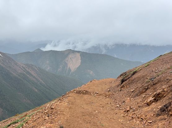
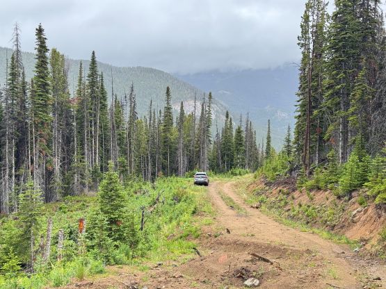
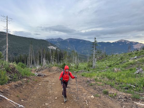
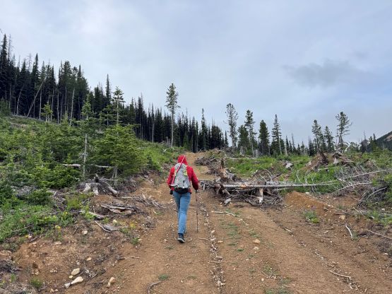
“Nea Peak” is the highest peak of this large group of hills in the South Chilcotins whereas Eldorado Mtn. is officially named, but not the highest. “Nea Peak” boasts 900 m prominence so it’s the main objective in the group. There’s nothing technical about these peaks but the approach was used to be long, until Matt J. discovered the northern access via some mining roads. These roads are barely shown on the GPS apps so I had no clue how he found them out (and dared to make the hour-long driving detour to attempt). It turned out that Matt managed to drive to 1950 m elevation and the roads weren’t even that bad. Any stock SUV with “medium clearance” could have made it, so at least 3 or 4 different groups had followed in the past year or two. The final spur had been deactivated so the current parking is at 1800 m, but it was still much better than the old routes.
My original plan was the 7-peak loop following Kelly, Spenny and Andrew’s trip but the weather was nowhere as stellar as I was hoping for. I only managed three peaks in the end and all three were done in white-outs and blizzard conditions. To be fair the weather forecast was never predicting a “bluebird” day but the precipitation wasn’t supposed to come until later in the afternoon. That part of the forecast was definitely wrong as the peaks were completely soaked in by 7 or 8 am in the morning. In any case Adam and Frances agreed to join me for a couple days coming from Seattle vicinity and even offered to drive their vehicle all the way up north. The weather was only “reasonable” in the rainshadow zones and Adam was only keen on P600m+ objectives so I suggested “Nea Peak” first. The Hurley had apparently been fixed recently so we would go up from the Pemberton side for a change in experience. When we went for Mt. Noel a month ago we looped around via Lillooet and I wasn’t too keen on repeating that long drive. We made quick work up to Gold Bridge but the roads leading to the north side of Eldorado Mtn. took forever. The condition was mostly as described, “2WD shape except for several water bars”. The water bars turned out to be trivial for the Subaru Forester but the overall length of this drive was exhausting. We did get to Kelly’s starting point at 1800 m elevation but to get there from Surrey was almost as long as to drive to the Selkirks…
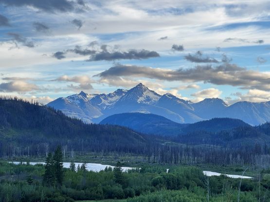
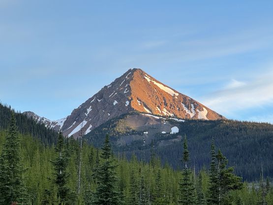
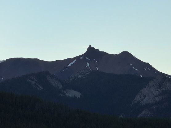
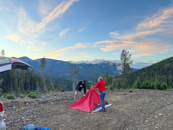
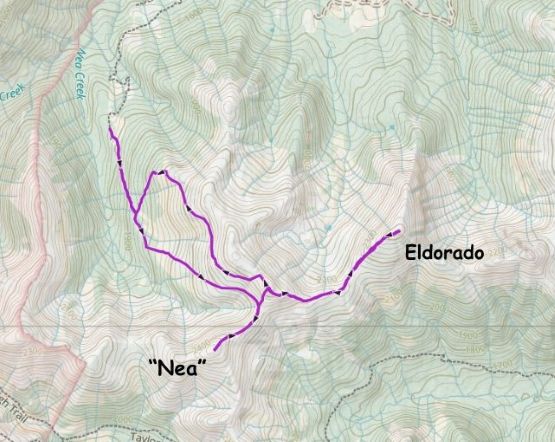
The night was bone chilly such that I regretted for not bringing the winter sleeping bag. We woke up at 5 am as planned, but the upper mountain was already soaked in. The clouds were also ushering in from the SW so we knew the weather would most likely not get any better during the day. As a result I abandoned the 7-peak traverse idea and only packed enough food for the 4 peaks on the northern half of this group, whereas Adam/Frances were most likely only do 1 or 2 peaks maximum. We did bring ice axes and crampons as the snow slopes had definitely undergone some full depth freeze, and there’d be no direct sunlight to soften them up. We easily plodded to the road’s end and then picked up Raphael’s GPX track as Adam thought his route was the most efficient based on his research. There’s no trail to speak of, but the terrain was mostly on open grassy slopes with hardly any bushwhacking. Higher up we did have to make an annoying side-hilling traverse to Nea/Nea NE col and it was here that we entered the world of the ping pong ball.
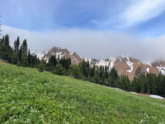


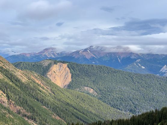
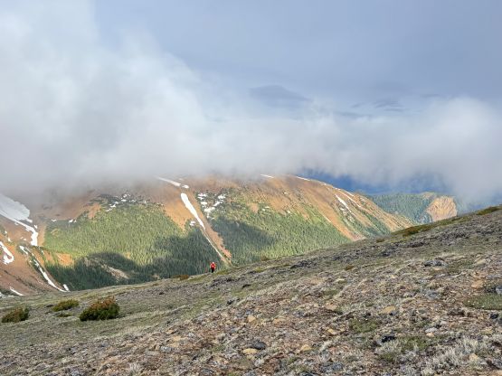

The winds also picked up and so was the cold. It was quite miserable up on that ridge, so I took off ahead and dashed up to the summit of “Nea Peak” sticking close to the ridge crest. There’s one mandatory snow slope to ascend, but the angle was just mellow enough for me to not take out the snow equipment. Adam and Frances ended up taking out their ice axes and honestly, that’s probably wiser. There’s no view from the summit itself so we quickly descended back to the col. Adam was still keen on tagging that NE Peak of “Nea Peak” which boasts over 100 m prominence to qualify as an independent summit, but once there he wasn’t too keen on adding Eldorado Mtn. into the itinerary. At this point the precipitation hadn’t come yet so there’s no way for me to call it a day here, but once starting the traverse towards Eldorado Mtn. I was committed, as to “descend” to the vehicle I must re-ascend this subsidiary P100m bump. The horizontal rain/snow blizzard came just as I descended into the Nea NE/Eldorado saddle. I wouldn’t add the 4th peak “Zipa” but I was already committed to get Eldorado Mtn. Needless to say, it was not pleasant.
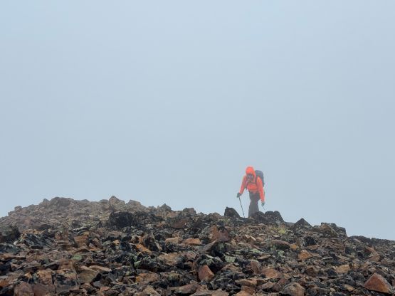
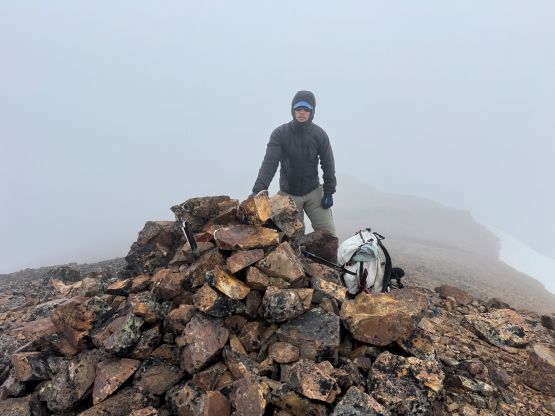
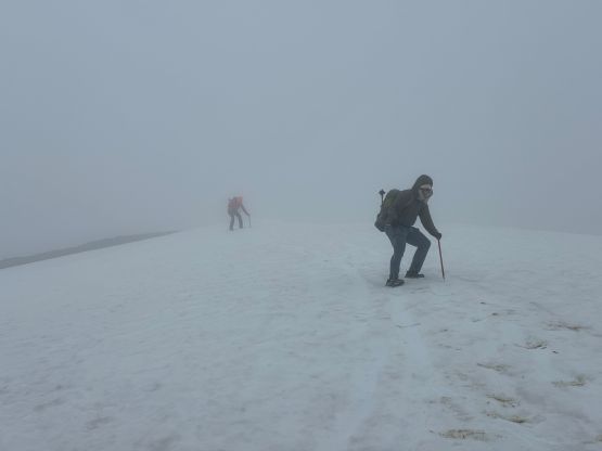

I took one selfie and immediately started to reverse the ridge traverse. The winds were not in my favour on the return. I had to constantly warm up parts of my body as I was not properly dressed for the sub-zero temperatures with bone chilling winds. My pants and gloves were also completely soaked from the rain and the wet snow, and my phone was also acting up as the screen was getting wet. I did thankfully bring a rain jacket so I threw the phone into that jacket’s pocket and that likely saved the day. I had to consult with the GPS multiple times to make sure I wouldn’t be descending a wrong ridge. I also had no idea where exactly the mining road terminated so mostly just followed the existing tracks trying to complete the loop, but eventually came to the road. I did happen to check the GPS another time just as I thought I would be “home free” and thankfully I did that, as the road I picked up wasn’t exactly on the GPX track I was following. I dashed 50 m down the open slopes and found that (minor) road and followed that road back to the main one. By this point I was already below the cloud layer and the drizzling had also mostly stopped. My round trip time was 4.5 hours and Adam and Frances were already in the vehicle waiting. The plan for the rest of the day was to drive to the base of Red Mountain by one way or another.