Placer Mountain
September 14, 2021
2211m
Eastgate, BC
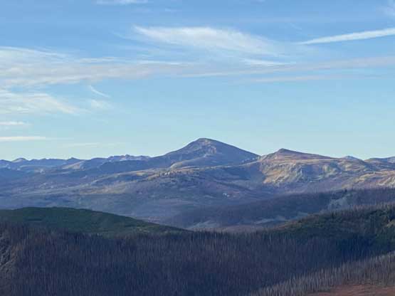
Place Mountain locates immediately to the east of Eastgate just outside the boundary of Manning Park. This broad area has seen the highest concentration of logging activity anywhere in SW BC such that logging roads had been pushed to within 200 m from the summit of this peak from all directions and from elevation perspective this isn’t really a “small” summit as one might expect. Looking at the satellite images this whole region had become a maze of backroads and it took me literally 20 minutes on the map to trace the spur that could lead me to the highest driveable end. I made a spontaneous decision to drive out east to escape the dreary weather on Tuesday. I had this day booked off work and I wasn’t keen to hike in the rain closer to home. The only spot within a day-trip range that showed some possibility of sunshine was Princeton area and only in the morning.
The alarm went off at 3 AM and I wasn’t feeling to pull the long drive but I forced myself to get up. Most people have other stuffs to do in the city but for me it was either to make the long drive, or to completely waste a day doing nothing. Eventually by 3:30 AM I was able to drag my tired self out of the room and two hours later I made to Hope for a breakfast stop. The weather had been cloudy but not rainy just as forecasted. I resumed the eastwards journey and made to Eastgate in another hour or something. I had preloaded the topo and satellite maps and my plan to navigate this maze of logging roads was to completely rely on the GPS technology. The start of the logging road was right at a “big bend” on the highway near Copper Creek recreation site. This same starting point also leads to Placer Lake and Flat Top Mountain which is much more popular than Placer Mountain where I was heading towards. I thought about to hike the taller neighbour on a nice trail but I determined that Flat Top Mountain’s scenic enough such that I should reserve for a sunnier day and better with company. The peaks I chose on trip trip are the ones that I likely could not find a partner in this lifetime. The navigation on Placer Mountain FSR was confusing even with multiple maps on my phone but if anyone else does want to try this peak then I’ve done the work for you. I’ve recorded the driving into the GPS track from the point where this peak’s road system left the Placer Lake’s direction in addition to the hiking portion so all you need is to download the track and follow. The road condition was surprisingly excellent.
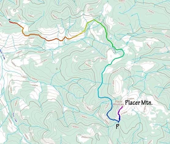
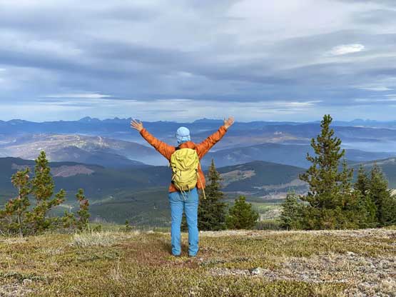
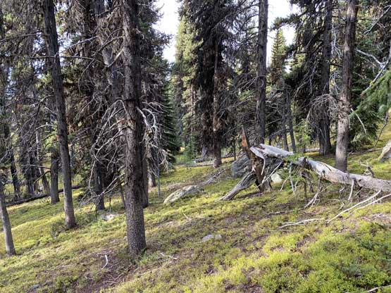
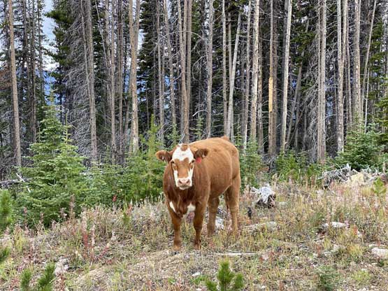
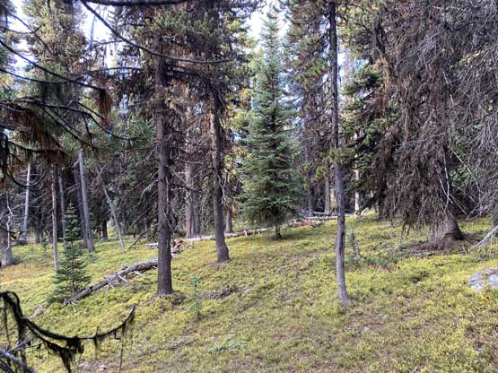
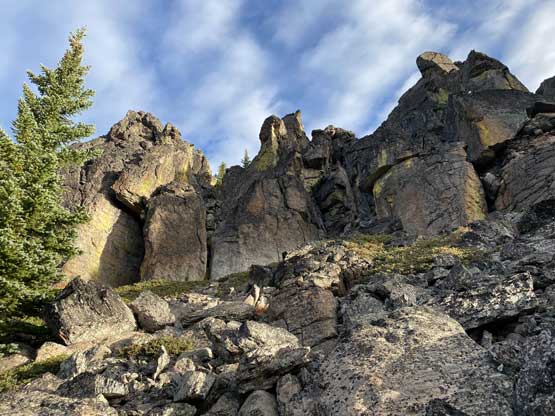
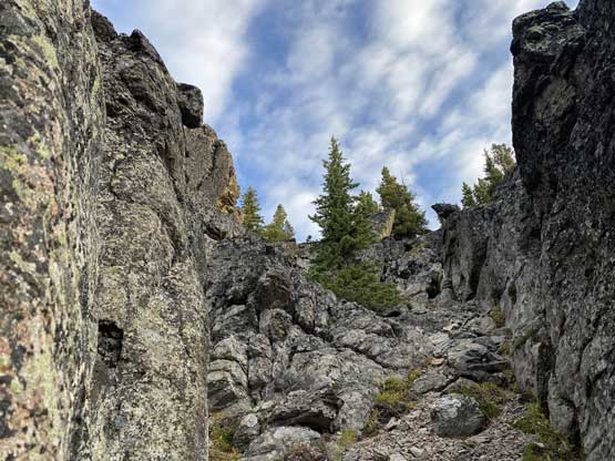
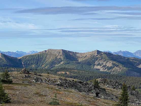
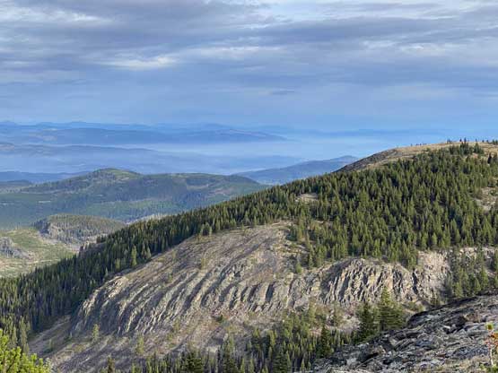
It was about 20 km or slightly more from the crossing of Simikameen River to where I parked so it took me a while despite the good road conditions. I stopped a few times along the drive to take the morning photos. The hiking portion of this ascent was very easy and straightforward with only 200 m elevation gain. A short thrash across a clear-cut got me to a narrower road which I crossed subsequently. Another short plod through some open forest saw me staring at the cliffs on Place Mountain’s south ridge. My original plan was to work around towards the SW slopes to bypass anything that looked like a cliff on the topo maps. However, as soon as I saw the cliff band I decided to scramble up through head-on. The rocks were excellent and the scrambling had a 4th class step followed bya short but exposed ledge traverse. I could see easier lines towards my right side but I picked a more “straight up” line that looked doable to me. Above this cliff band I had a nice and easy stroll in mostly open terrain to the summit. Judging by the various signs I saw this peak is a lot more popular than what the simple search on internet suggests. I’m sure the local hunters and 4-wheel-drivers do come up here on a regular basis but on the internet there had been zero “beta” to use.
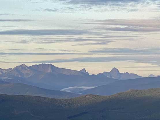

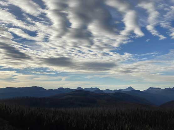


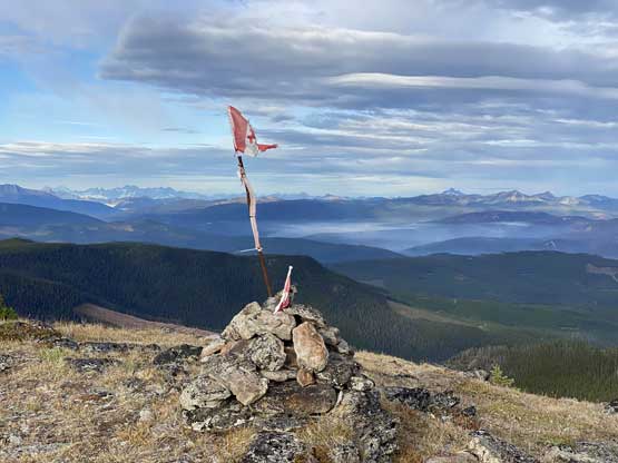


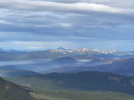
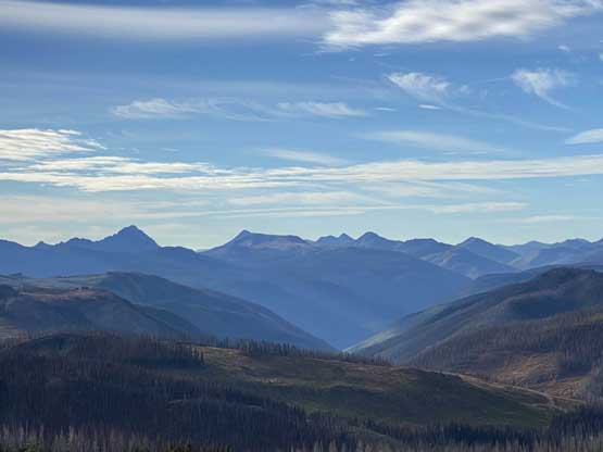


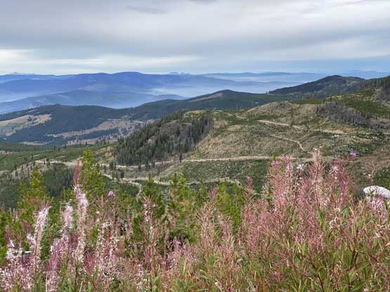
The weather had been exactly as forecasted, a mix of sun and clouds with moodier skies towards the west. I did not linger too long on the top because I had two more peaks planned and I wanted to get them done as early as possible to (hopefully) avoid hiking in rain. I thought it’s fun to down-climb that 4th class step and that ledge traverse so I descended the exact same route I used on the ascent. The drive-out was very easy because I knew where exactly to go and I only checked the GPS one time to confirm the direction at a particularly confusing intersection. Several ATVers that appeared to be hunters were ascending when I drove my way out. Once back onto Highway 3 I directed my bearing northwards towards Princeton and the trip continued with ascents of Wilbert Hills and Agate Mountain.