Gin Peak
November 9, 2015
1803m
Whistler, BC
Gin Peak is the unofficial name of the small peak immediately on the south side of Rainbow Lake. It’s a fairly popular objective for skiers and snowmobilers approaching from Whistler Olympic Park while I ascended it as a bonus objective after finishing the nearby Rainbow Mountain. The approach I used was from Alta Lake Road along 21 Mile Creek (the traditional way to approach Rainbow Mountain).

Rainbow Mountain and Gin Peak via Rainbow Lake. GPX DL
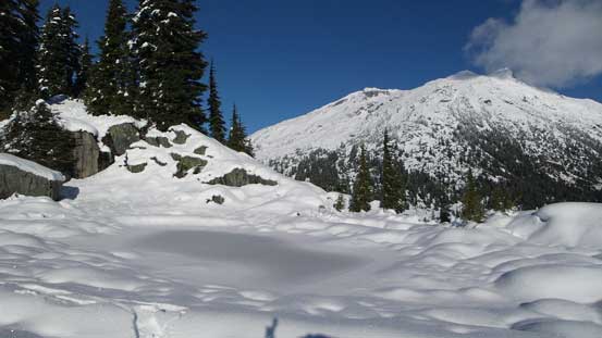
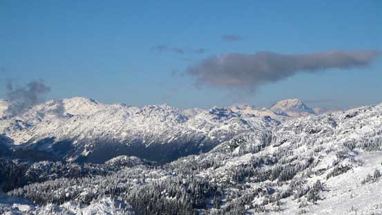
From camp it appeared to be nothing more than a few hours’ plod via the obvious gully although I was expecting fair amount of post-holing. The snowpack also didn’t appear to be thick enough to cover the boulder fields. I initially ascended the connecting ridge on the climber’s right side (Hanging Lake side), and once there’s enough snow to at least partially cover the boulders I moved into the gully and grinded my way to what appeared like a high col. It turned out to be a large plateau area with the true summit on my left.

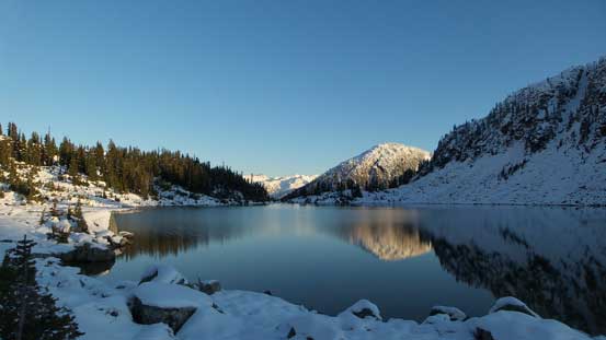
Rainbow Lake
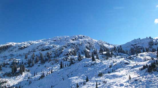
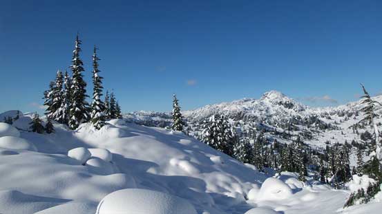
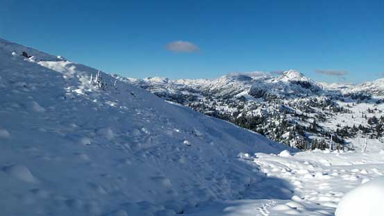
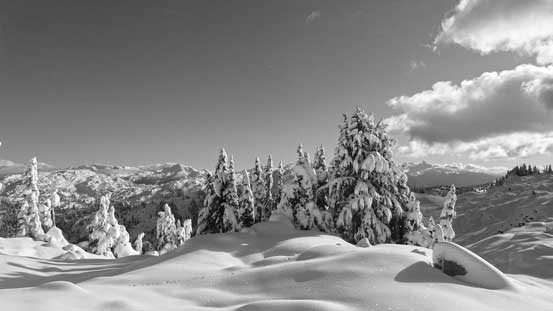
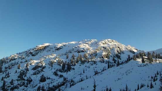
This is my objective – Gin Peak
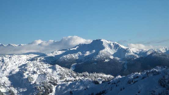
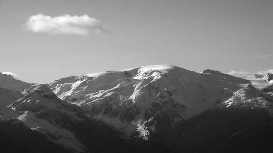
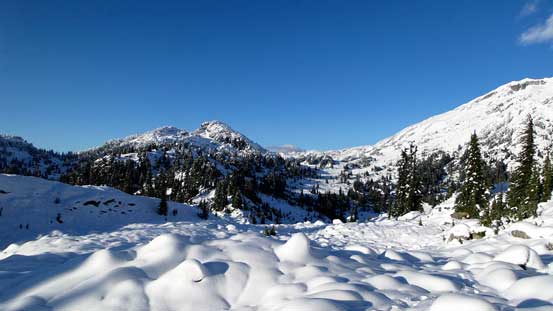
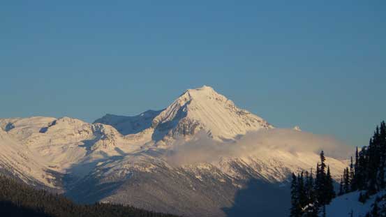
Rainbow Mountain from near the broad divide between Rainbow and Gin
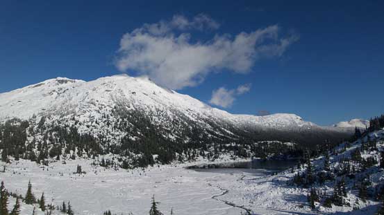
The classic shot of Rainbow Mountain & Lake
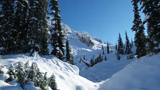
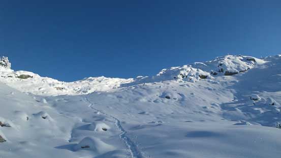
Merging into the drainage now
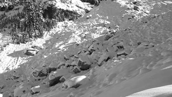
Wish there’s more snow to cover those boulders…
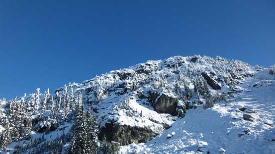
Gin Peak
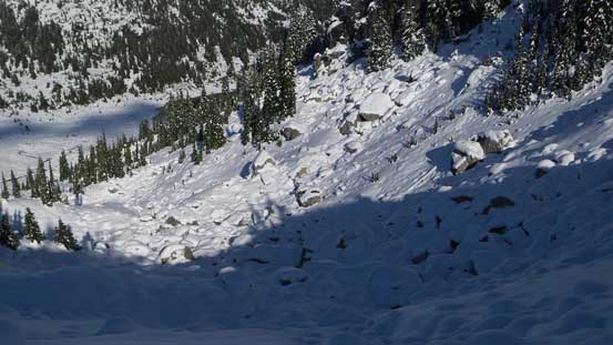
Looking down the main gully
Looking up..
Getting higher…
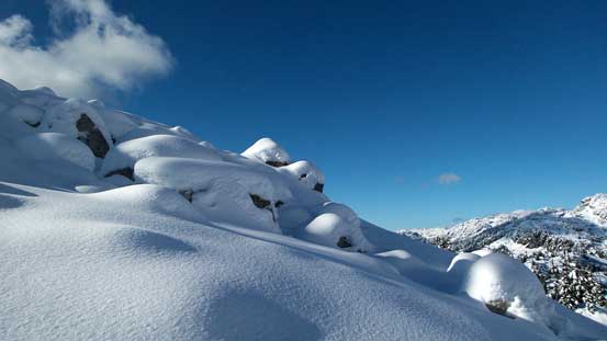
Those boulders do make some good views though…
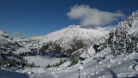
Looking back at Rainbow Mountain
The gully continues on and on…
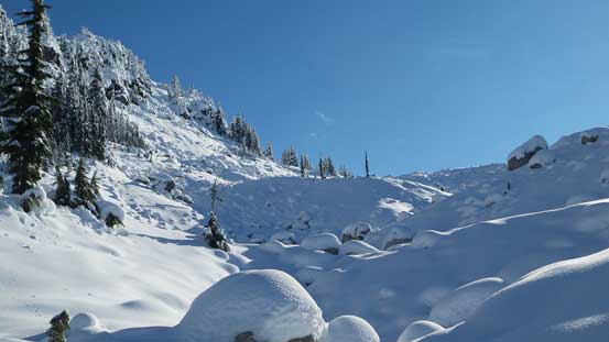
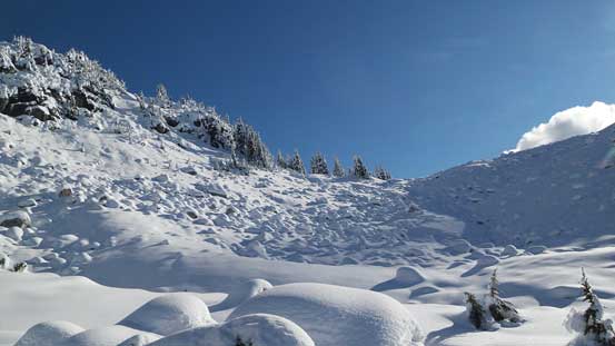
More snow covered boulders to negotiate..
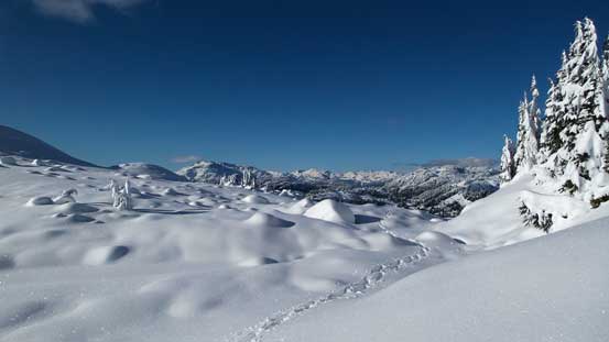
Finally on the plateau now
Ascending upwards veering left
The plod to the true summit along the final ridge was longer than appeared. I had to ascend a few steep bushy steps and the final summit block was steep from all sides. I ended up traversing around it for almost 360 degrees before deciding on a bushy route. I think what’s underneath were large boulders so ascending those steep and loose was fairly strenuous. The view from the summit was outstanding though so it’s well worth the effort.
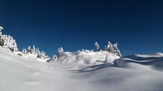
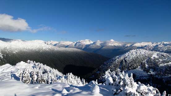
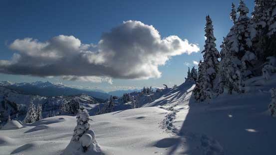
Gorgeous winter views here.

Gaining more height, looking back towards this plateau
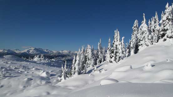
I love those snow covered trees!!

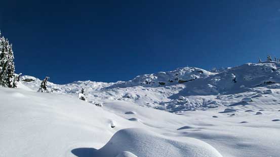
Some steep terrain though

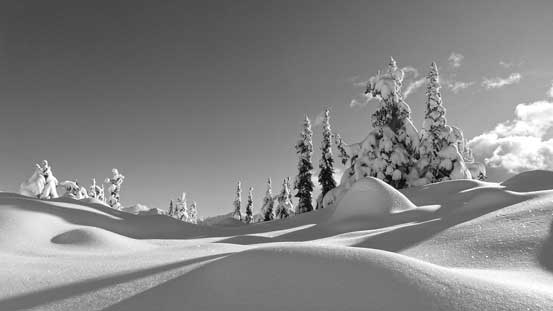
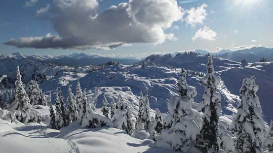
More plateau traverse

Lovely, lovely!

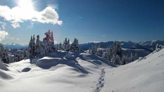
The true summit ahead
Plodding up.
Can’t get rid of the views
Almost there
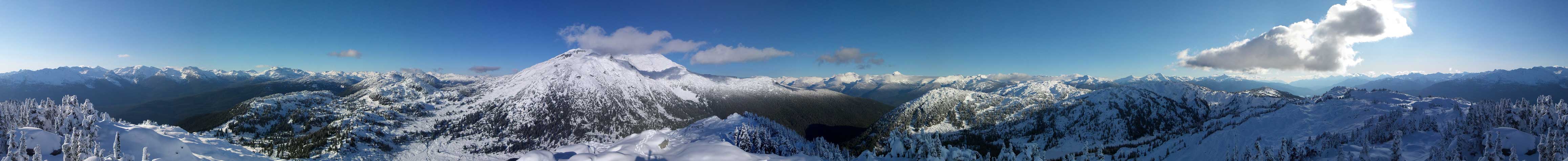
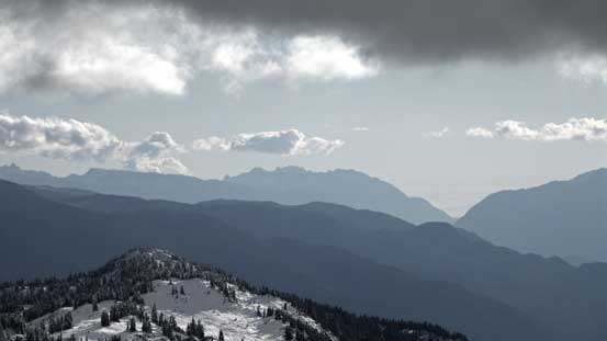
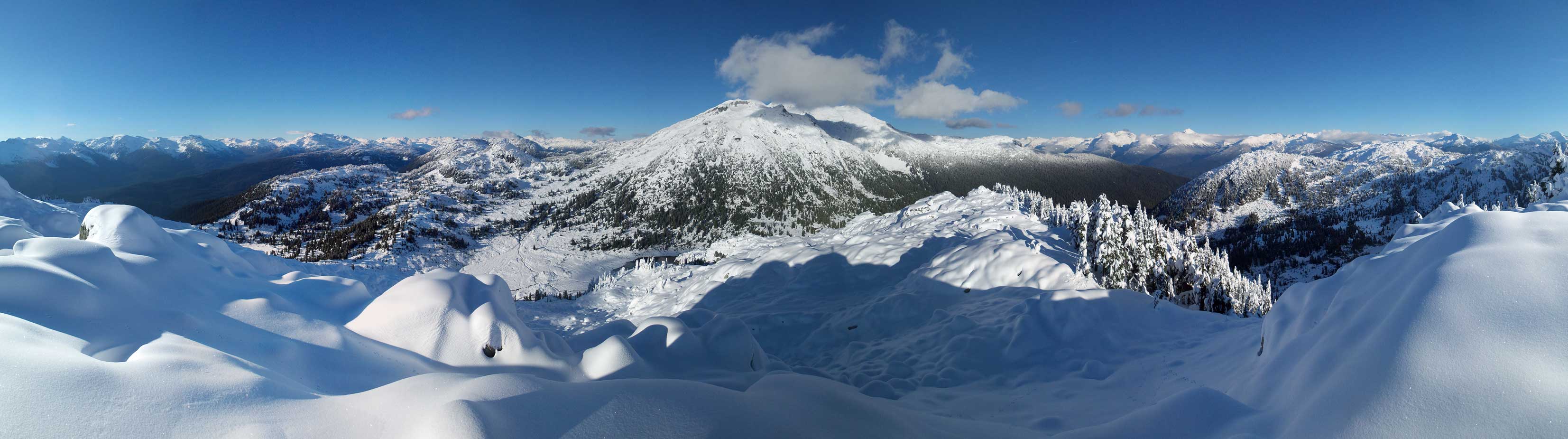
Summit Panorama from Gin Peak. Click to view large size.

Castle Towers with Mt. Davidson to its left
Whistler Mountain on Fitzsimmons Range

Peaks behind Blackcomb Peak on Spearhead Range
Wedge Mountain poking through the cloud layer

Mt. Weart which I bagged a couple weeks ago
Hibachi Ridge
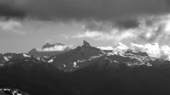
The Black Tusk with Mt. Garibaldi behind
Way to the south I could see the North Shore Mountains
Powder Mountain
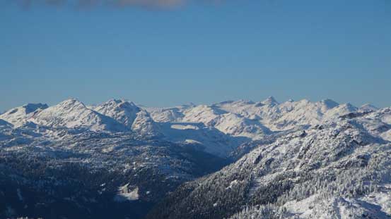
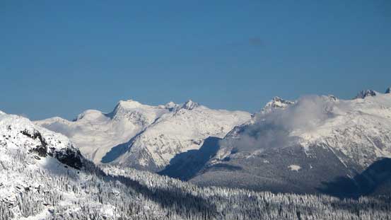
Peaks on the Pemberton Icefield
Mt. Sampson in the distance on the right skyline
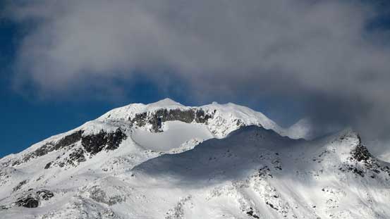
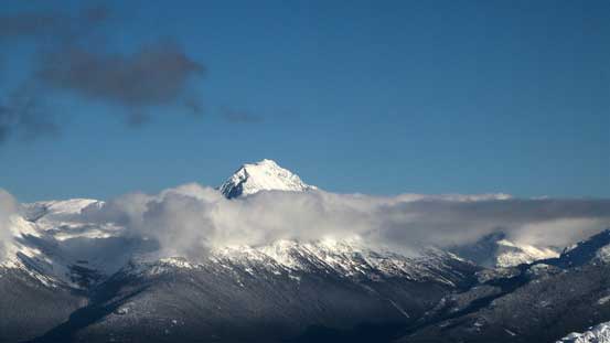
A zoomed-in view of Rainbow Mountain’s summit
A good contrast showing the snowline

Another shot of Rainbow Mountain

Looking down towards the flats by Rainbow Lake
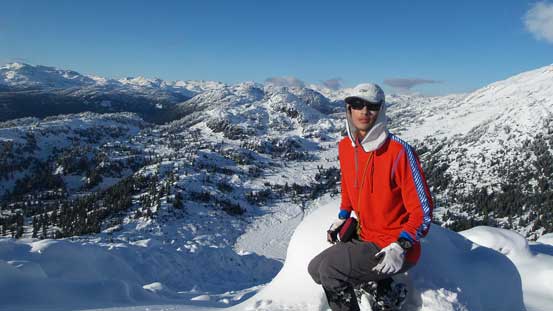
Me on the summit of Gin Peak
Another panorama on the summit. Click to view large size.
Coming down the summit block I just plunged/slid down a steeper line and it worked out nicely. I thought about exploring the plateau area for a bit but decided against it knowing I still had a long way to go as I wasn’t planning on staying another night. Retracing my tracks went fast and furious and I was back in camp in no time.
Time to head down
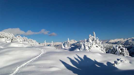
My tracks and the winter wonderland
More winter wonderland!
Down, down!
Plodding back to camp
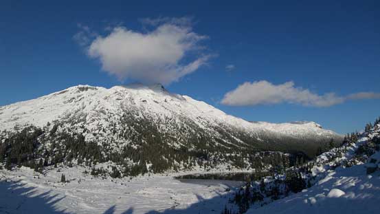
Rainbow Mountain & Lake
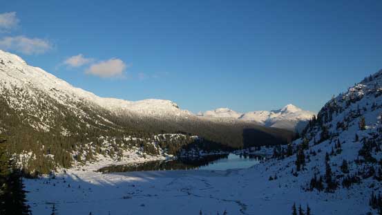
Rainbow Lake
Looking back towards the summit
After a long break it’s time to break camp and pack up. I spent some time taking pictures at Rainbow Lake as it’s right at sunset, but after that the true slog began – the final 7.7 km plod back to the parking lot. The deep freeze from the previous night along with the colder temperature had made this trail extremely slippery which added to the “fun” factor… The creek crossing was proved to be particularly fun as those boulders that I used to hop across on the way in were all coated by a layer of verglass… After trying a few different ways I ended up having to take the boots off and ford the freezing water bare feet. It was very miserable… Back to the plod. I knew I was doing good on time but still, it felt like forever, and once eventually getting back to the logging road section there’s still a few clicks to cover (and a LOT of downhill too which was hard on the knees).
Wedge Mountain
Rainbow Lake and the reflections

Sunset time

More about Rainbow Lake
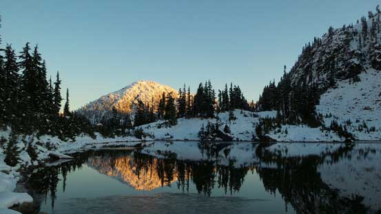
One last picture of the reflections
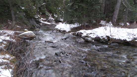
Oh here’s the creek that I ended up having to ford bare feet…
I eventually got back to the parking lot at roughly 6 pm and 2 hours later I was back home which concluded an excellent trip in the mountains for once again. Not sure if I’d highly recommend Rainbow Mountain + Gin Peak for average snowshoeers as it’s a arduous work-out but the view is excellent if you have clear weather.
