Mount Mike
August 21, 2026
3313m
Canal Flats, BC
Mt. Mike is pretty much “the other objective” in the B.C. side of the South Rockies besides Mt. Harrison. It’s actually not terribly far from Mt. Harrison but only slightly lower (close, but not quite an 11,000er) and still boasts over 1200 m prominence (therefore one of the “Ribus”). I had been curious about Mt. Mike ever since I scrambled Mt. Harrison back in 2014 and by now the “beta” was very much clear. The publication of David P. Jones’ Rockies South guidebook helped confirming that it’s basically a glorified scramble for confident parties. A few trip reports also popped out on the social media in the past few years, and the consensus was more or less consistent.
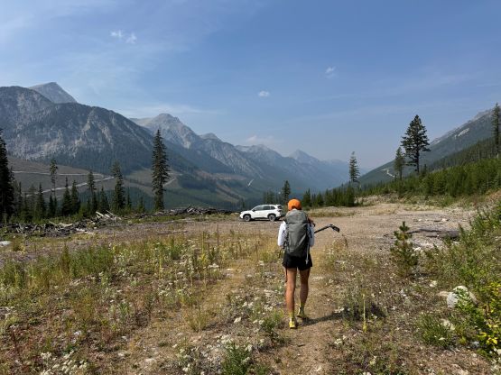
Erica and I decided at the last minute to add Mt. Mike into the itinerary after completing Farnham Tower in the previous few days. We still had a day of bomber weather but our motivation and energy was running low, and we had limited time to do any research. We were already in the Columbia Valley so we might as well stick to the area. Mt. Mike was one of those that “stands out”, so we drove an hour down to Canal Flats, did some grocery shopping and then turned onto the Whiteswan FSR system. This would be the original way to access Mt. Harrison but in 2014 the mainline was closed and I was forced to access from Bull River FSR which was considerably longer. We then turned south onto Blackfoot FSR which was significantly narrower and didn’t seem to get much maintenance. I was quite certain that there wasn’t any recent logging going on. I unfortunately did not bring a chainsaw so it was definitely bold to drive 30 km down into this valley, but it all worked out. A Subaru was more than sufficient to get the job done that I even managed to drive to the actual “trail-head” by pushing a ways up the final spur road.
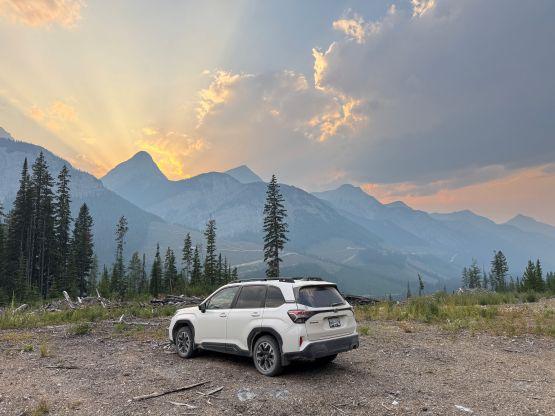
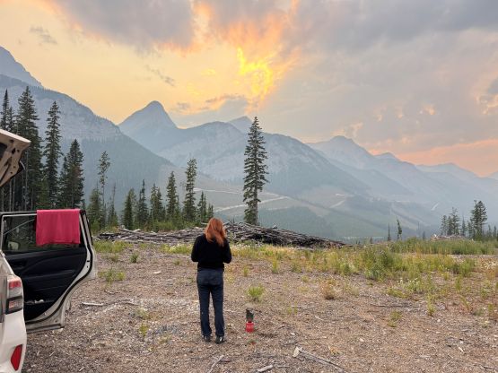
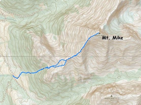
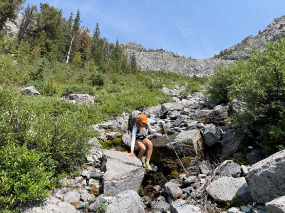
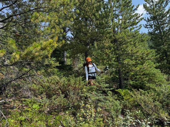
The car-camping was quite scenic but felt extremely remote. The next morning we got up leisurely at around 7:30 am. I couldn’t find an existing GPX track from any of the said trip reports but then there were multiple tracks on the Gaia’s public database. Those tracks converge more or less so the navigation was mostly based off them. We followed a very old, deactivated and overgrown road up but eventually had to do some cross country travel across the cut-block to access the edge of the forest. The bushwhacking was minimal. We found an unofficial trail on the edge of the forest and followed it a short ways up until it made sense to thrash left (northwards) down into the dry creek bed. This leftwards traverse was also marked by cairns and seemed to get some traffics. Unlike in the B.C.’s Coast Range the creek bed actually offered a dry and easy passage. We simply boulder-hopped a long ways up. Upon encountering a headwall we veered climber’s right and found a 3rd class bypass. The worse was the upper fan to gain the SW Ridge system. We had a few hundred meters of horribly loose scree to content with which got some 4-letter words flying around.
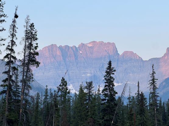
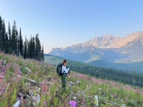
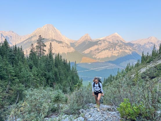
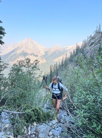
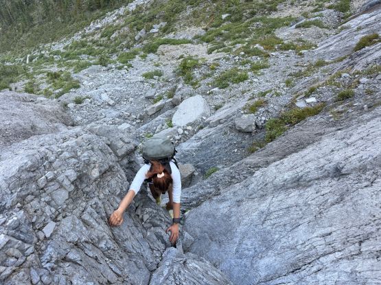
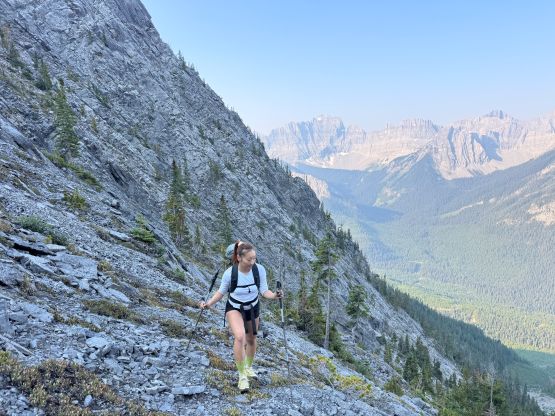
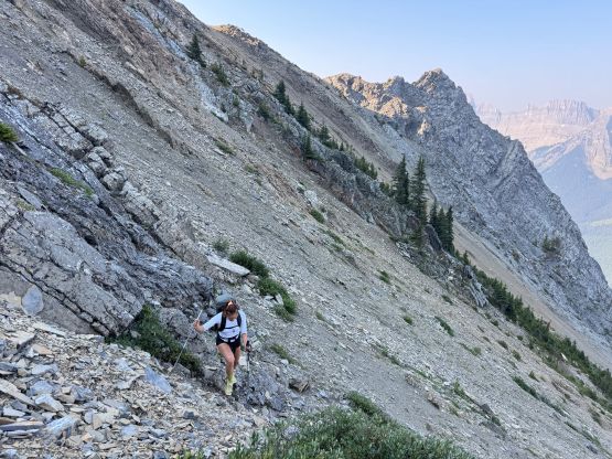
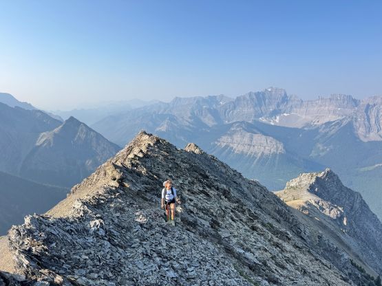
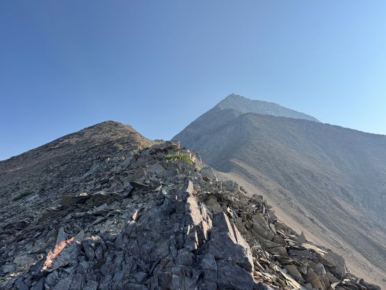
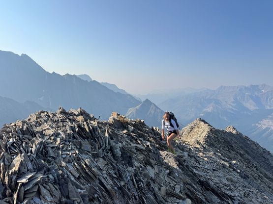
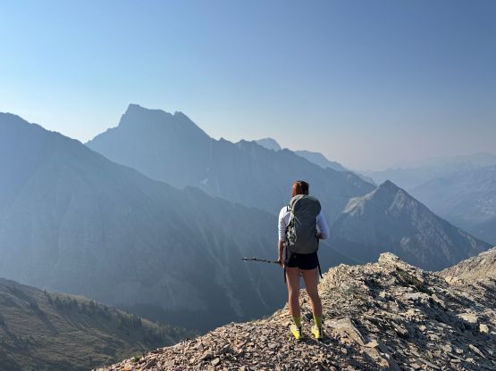
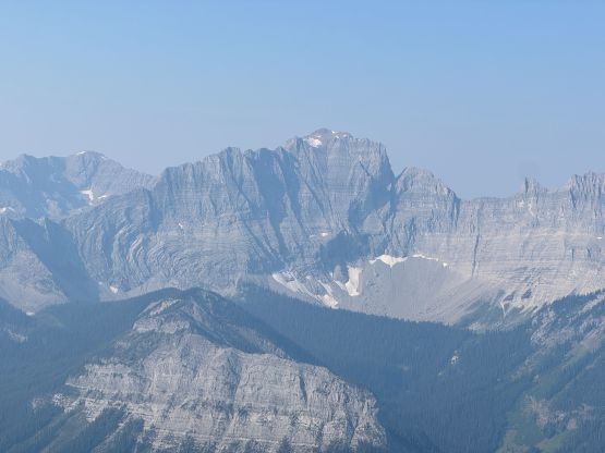
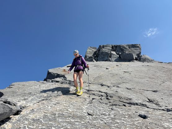
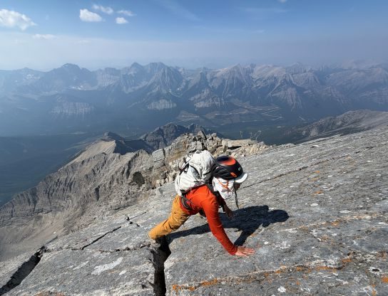
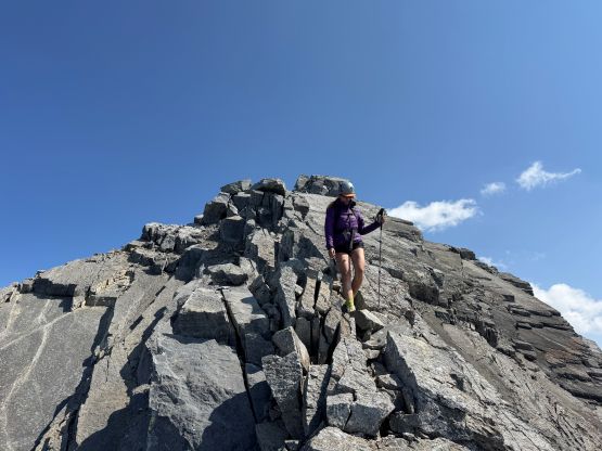
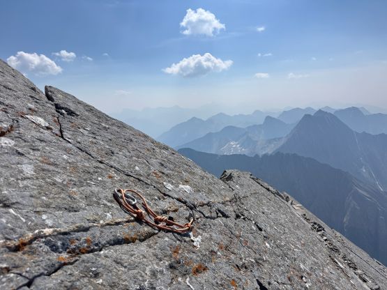
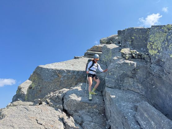
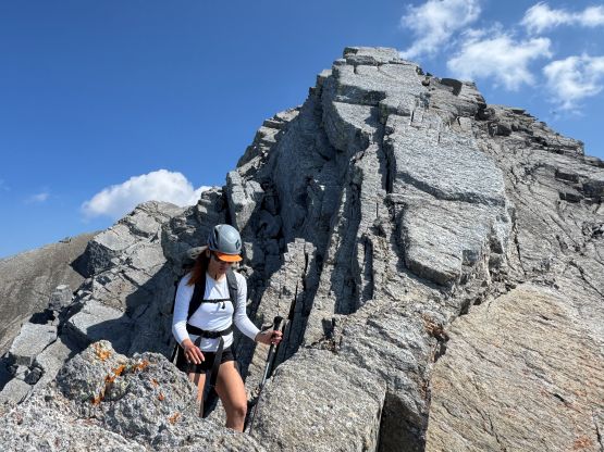
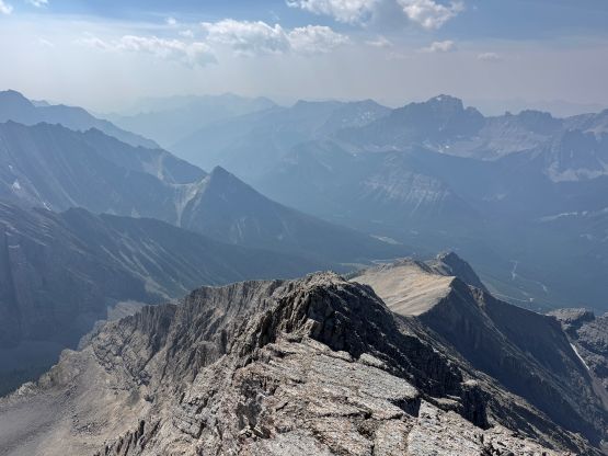
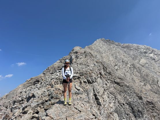
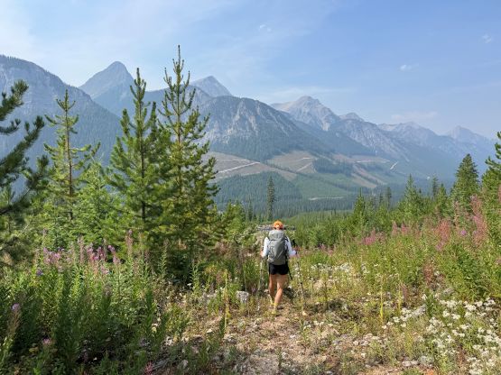
We took the only break on the ascent somewhere along this lower leg of the SW Ridge mostly to don sun protection, and then proceeded onward. We had actually brought our harnesses, a 50 m rope and a light rack but those all turned into training weight. The route-finding was straightforward as we actually wanted to stay as close to the ridge crest as possible, with several minor detours on either sides. One of the earlier bumps was completely bypassed by traversing on the south side mostly to reduce elevation loss/regain. The terrain also wasn’t as loose as appeared from afar, and the final section of the ridge was quite “fun”, though lacked any form of a challenge especially for Erica. I did stowed both of my trekking poles for the slab climbing/scrambling but Erica managed to make the entire ascent while holding one pole in her hand. The limestone slabs were extremely grippy and featured so it’s actually a pick-your-own-adventure kind of route. We passed 2 or 3 rappel stations and I probably did make a couple 5th class moves but I definitely wasn’t strictly looking for the “easiest possible way” in this outing.
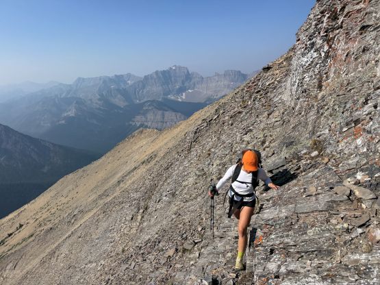
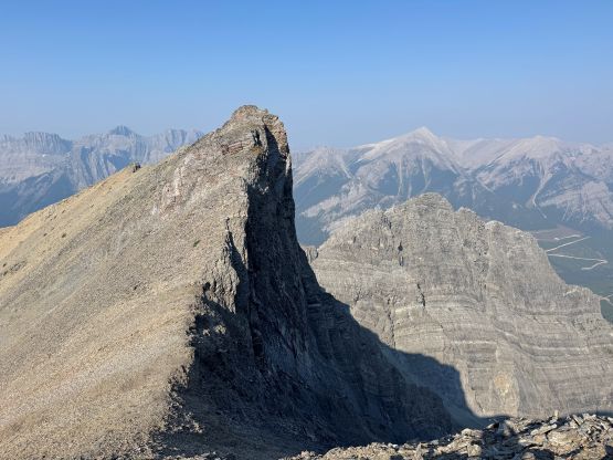
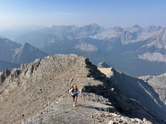
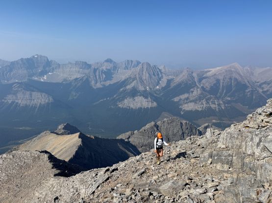
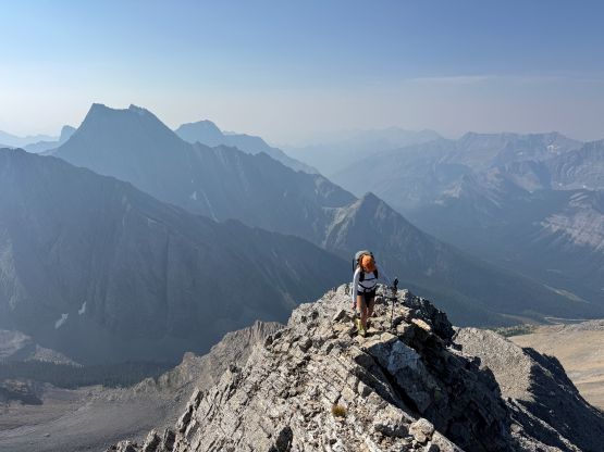
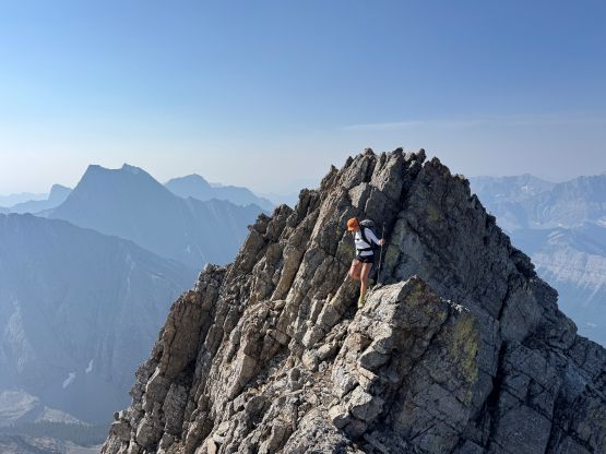
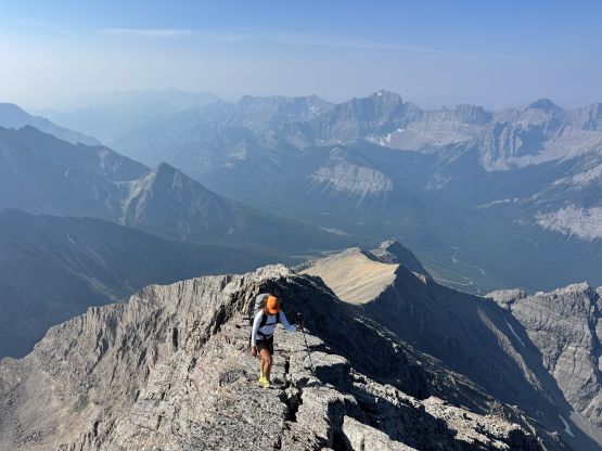
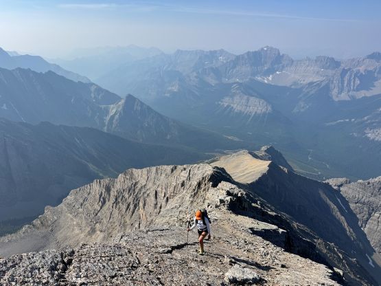
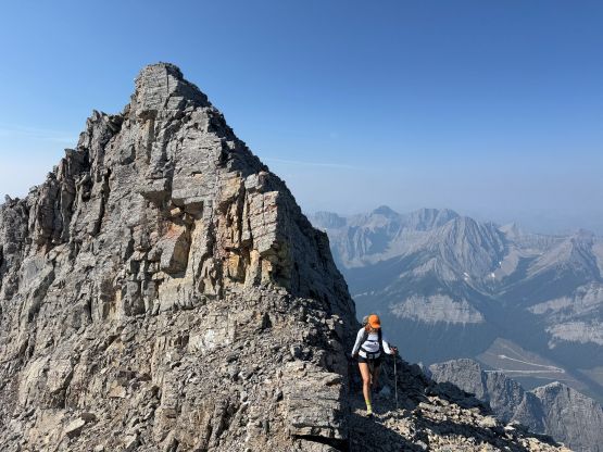
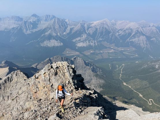
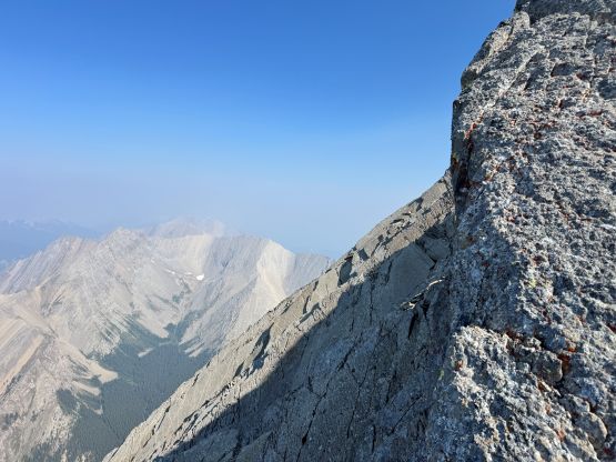
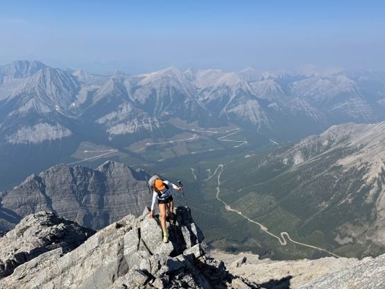
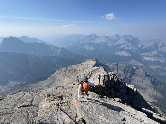
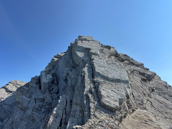
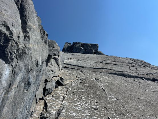
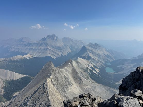
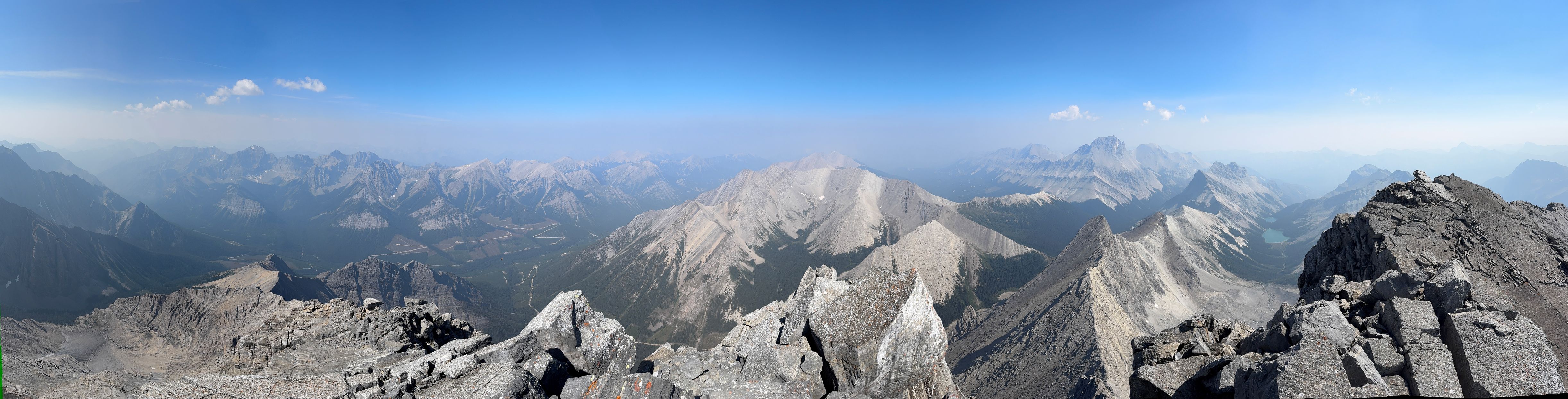
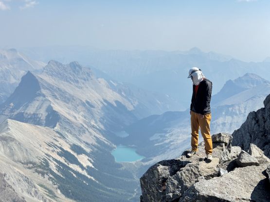
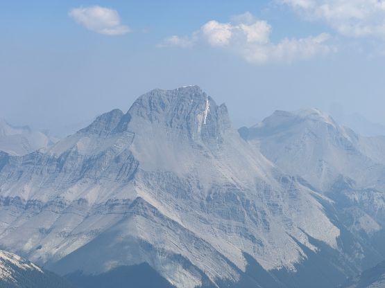
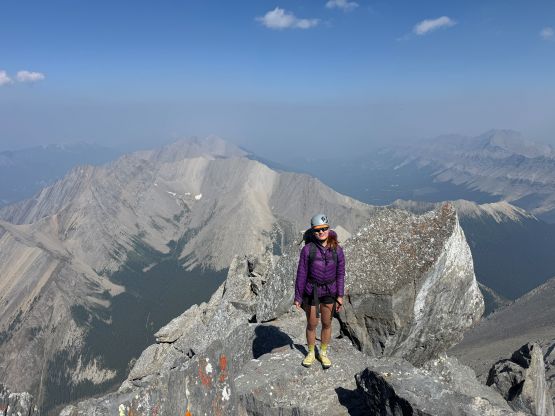
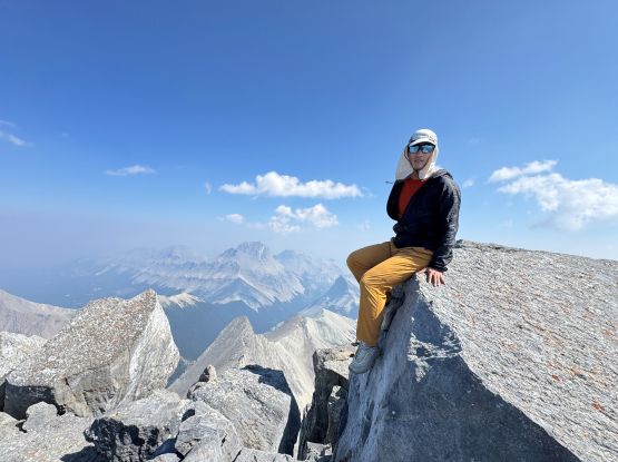
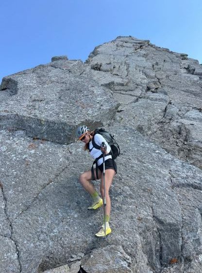
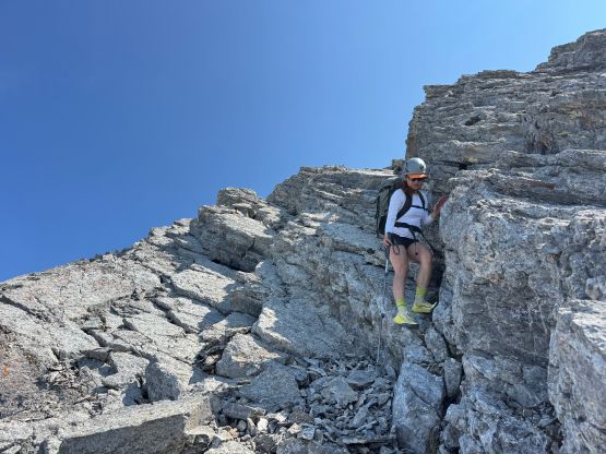
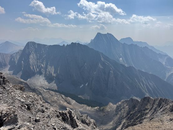
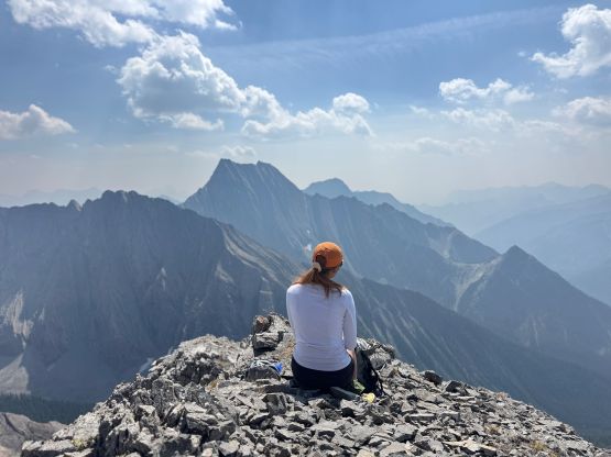
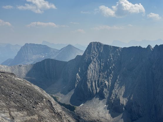
The views were great but we were in some thick smokes so there’s no point in lingering too long up there. For the descent Erica again, opted to use one trekking pole which actually proved to be faster than not having the poles. A few pieces of the slabs required me down-climbing facing into the wall but for the most parts I was able to “crab-walk” my way down. The route would be classified as “class 4” in SW BC or most of the states in the U.S. but in Canadian Rockies I could also see how it gets the low 5th class rating. Anyway we easily worked our way down the ridge, took another break and leisurely returned in 7 hours round trip. Wasting no time I drove us back to Canal Flats to get some signals. We had an hour to do some research and the final decision was to go home on the following day since the weather was uncertain and I also wasn’t extremely keen on driving another 4 hours to the Alberta’s side of the South Rockies. The weather was still not guaranteed there. But before going home we would tag Joss Mtn. along the way.