Manatee Peak
July 12-14, 2021
2847m
Manatee Range, BC
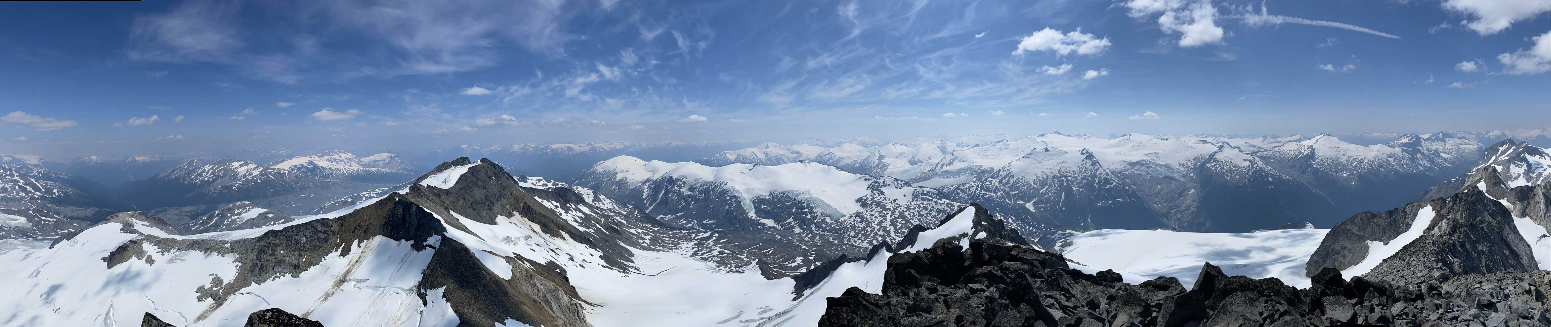
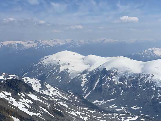
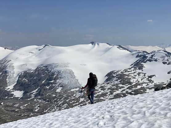
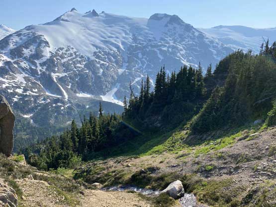
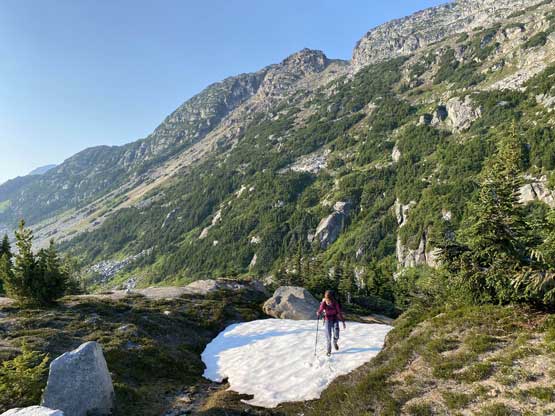
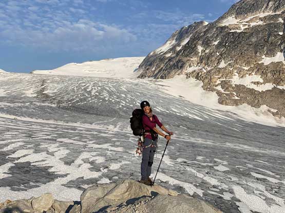
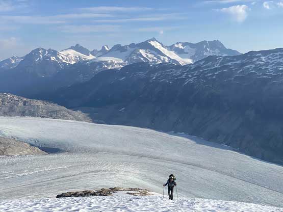
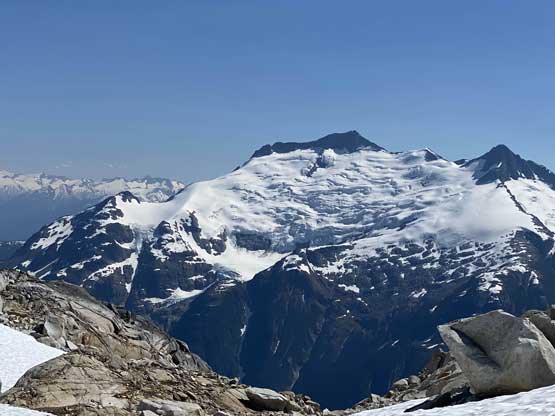
The Manatee Range locates in a super position on the southern extension of Lillooet Icefield that overlooks both the headwaters of Toba River and Meager Creek. Manatee Peak is the namesake summit of this range of mountains but is not the tallest one. The tallest is Sirenia Mountain a little to the north. Apparently Manatee Peak is an enjoyable snow climb in spring for parties traversing these remote ranges on skis, whereas in summer this is a chossy scramble via the SW Face. This is the last objective that I ascended in the short traverse with Ellie, Jason and Rob. Earlier in this trip we had ascended Wahoo Tower along with smaller peaks near it. This was the 3rd day and earlier in this day Ellie and I had ascended Remora Peak from Remora/Manatee col. The plan for this day was to scramble up Manatee Peak and work our way towards a designated camping spot near the toe of Elaho Glacier, and the the plan for the last day was to ascend onto the undulating Elaho Range and bushwhack all the way out to Elaho River.
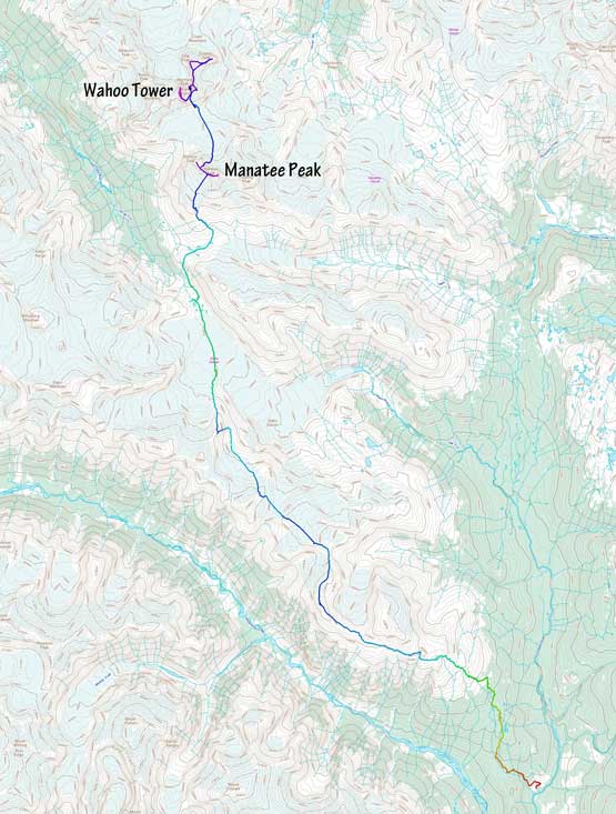
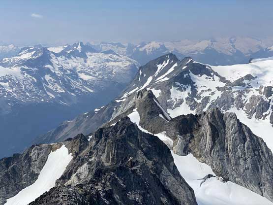
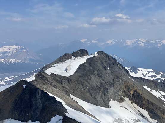
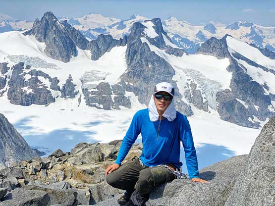
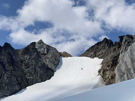
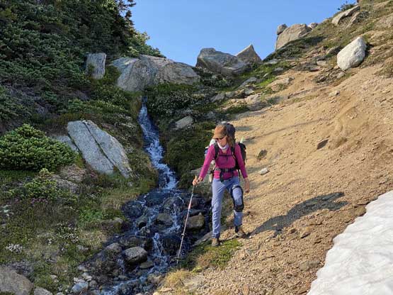
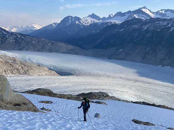
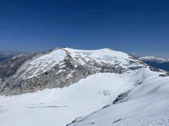
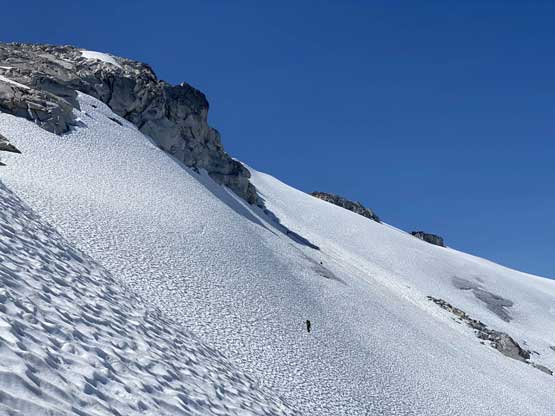
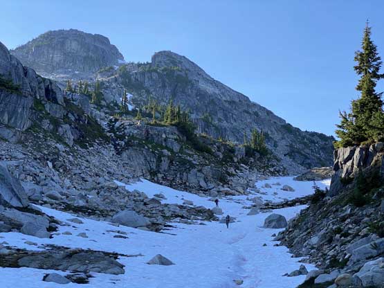
From Remora/Manatee col Ellie and I traversed up and over another minor col that provided an unobstructed view of our intended route on Manatee Peak. It appeared extremely chossy and unpleasant with a great deal of route-finding challenge. After some discussion the plan was for me to solo it while Ellie would got back to check out Remora Peak while waiting for me as that’s a far more pleasant summit. Ellie isn’t into this peak-baggin’ thing so for her, the summit of Manatee Peak wouldn’t mean much. I boot-skied down the easy snow slope onto the top section of a small glacier on the south side of Manatee Peak and found a nice rock to leave some gears behind. I had a route in mind but in terms of the actual route-finding I would decide step by step on-field.
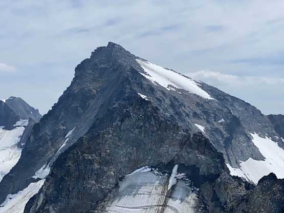
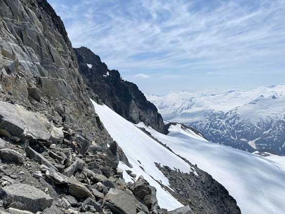
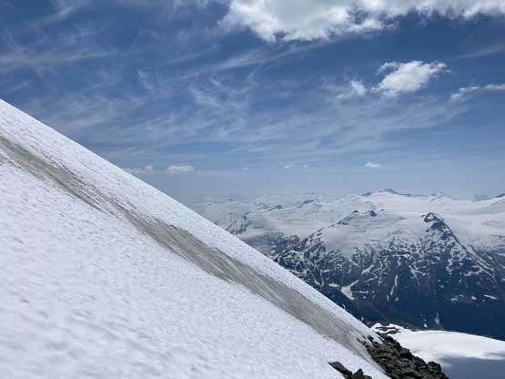
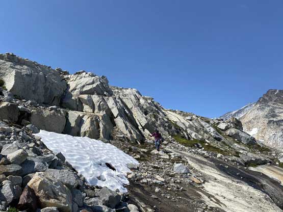
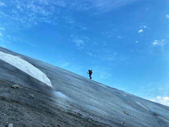
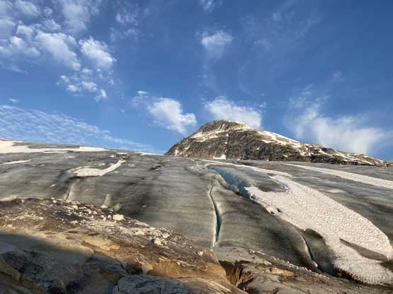
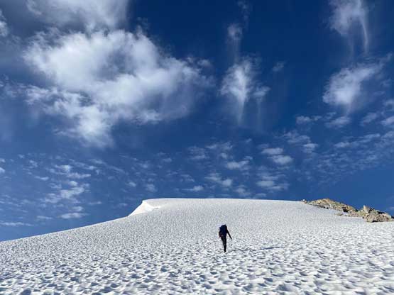
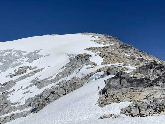
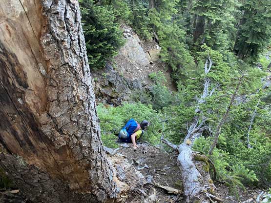
The first challenge was to gain the rock from this glacier. There appeared to have only a few options and the one I committed to turned out to be okay. The section of the rock immediately above this snow-to-rock transition was downright shitty but thankfully that did not last too long. I then had a long section of mostly easy, albeit unpleasant scramble and at times, it was easier to climb the steep snow patches right beside the rock. I made a diagonal traversing line out towards climber’s right aiming for the “central depression zone” on this massive face. Once into the middle of this depression zone I stuck more or less in it, dealing with a difficult 4th class step somewhere in the middle that I decided to not down-climb on the return. I made a mental note about a possible easier route further left (north). Above this step the grade of the terrain eased and in short time I made to the upper snowfield. The talus to the left of the snow was still loose so I strapped crampons on and just walked as far as possible on snow and ice. The last 20 m did have to be gained by hopping on talus and sure enough they were still decently loose.
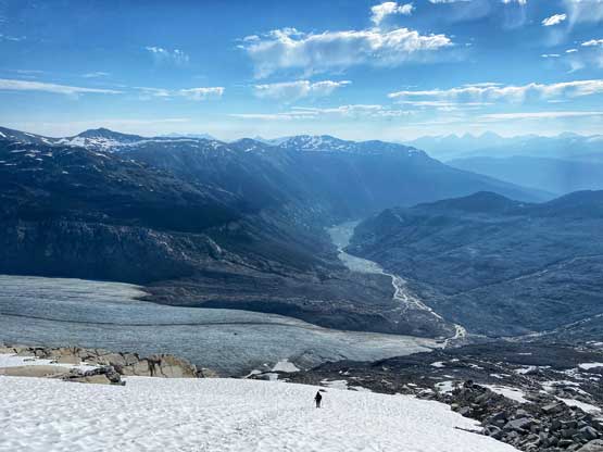
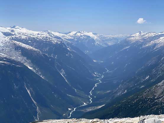
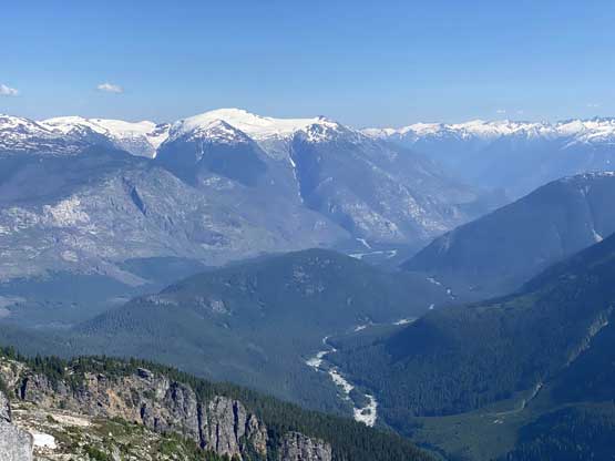
I did not linger too long on the summit because Ellie’s waiting and we still had a long day ahead. I reversed the exact route I took except for that crux zone. I bypassed the down-climb by making some zig-zags along chossy ledges and I also bypassed some down-climbing on snow by sticking to the choss. I knocked a shit down loads of rocks down onto the glacier below. Once back to the ditched gears I took my time melting some snow and meanwhile Ellie came down from Remora/Manatee col. The descent off this south side glacier was decently tame but then we faced a series of route-finding difficulties to drop into the headwaters of Meager Creek. There were lots of 3rd class down-climbing as the micro-terrain was confusing but after a while we started to just pick whatever route that made sense. We ended up descending towards skier’s left into the upper Meager Creek headwaters before making a long dash back right (west) with some elevation regain, into the upper Toba River headwaters.
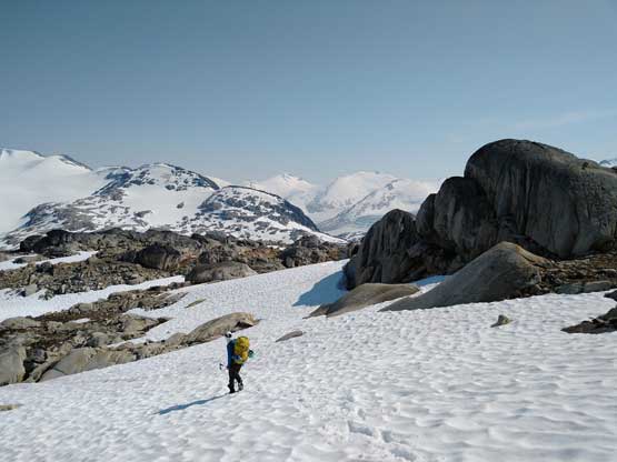
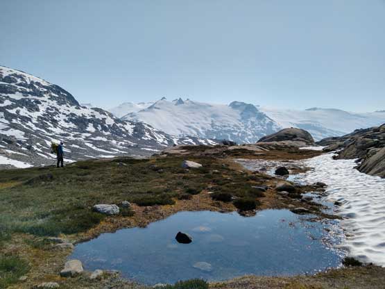
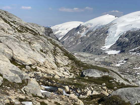
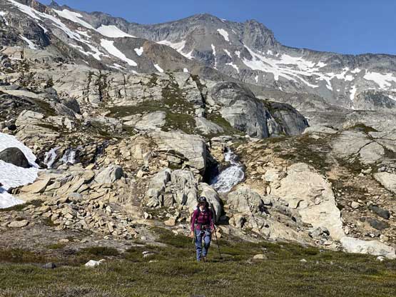
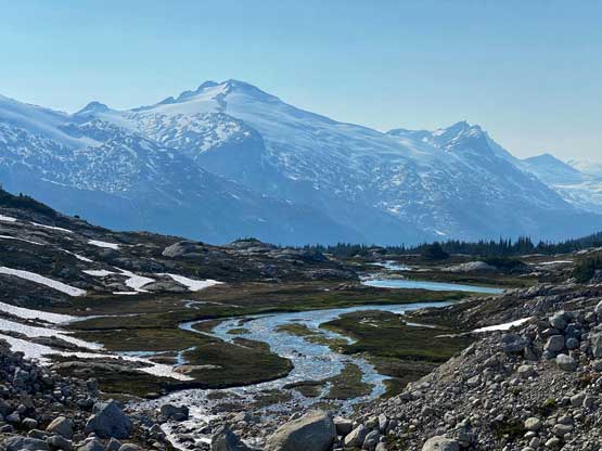
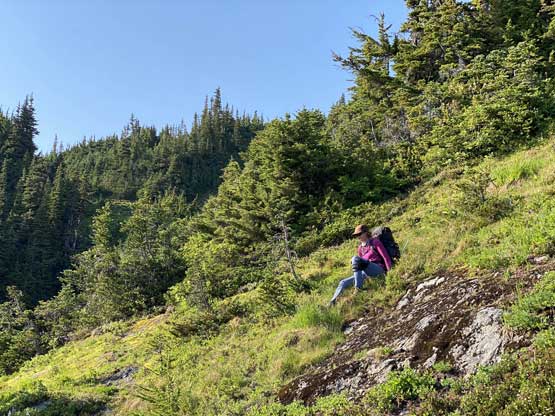
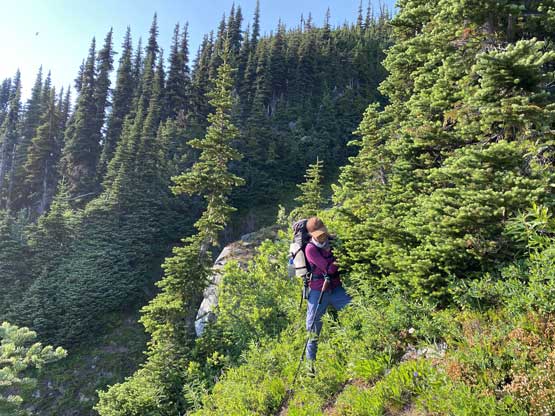
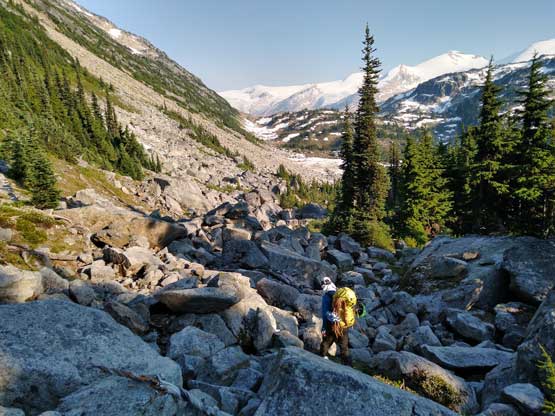
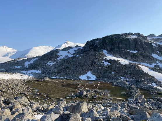
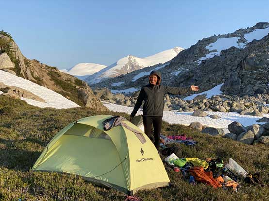
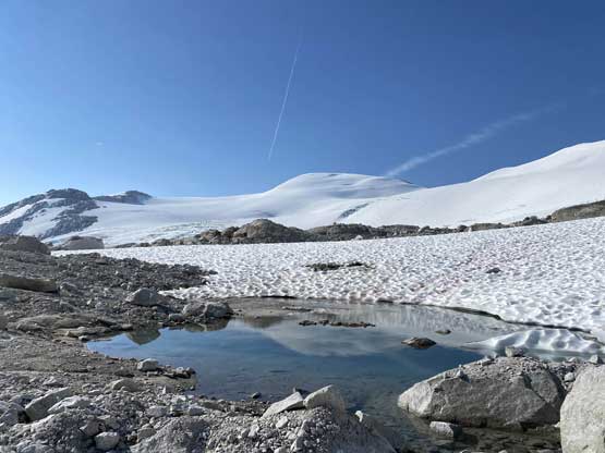
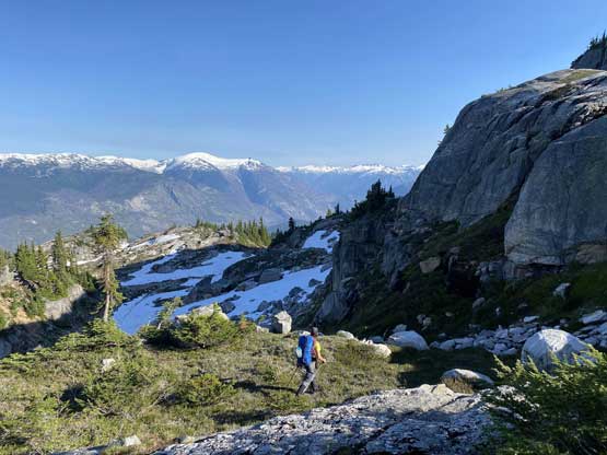
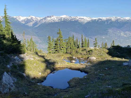
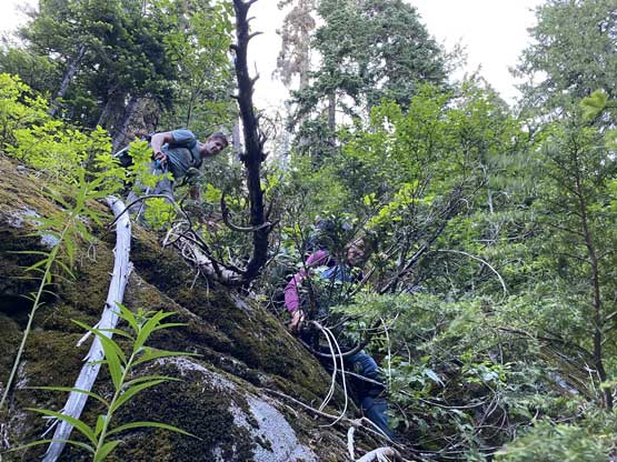
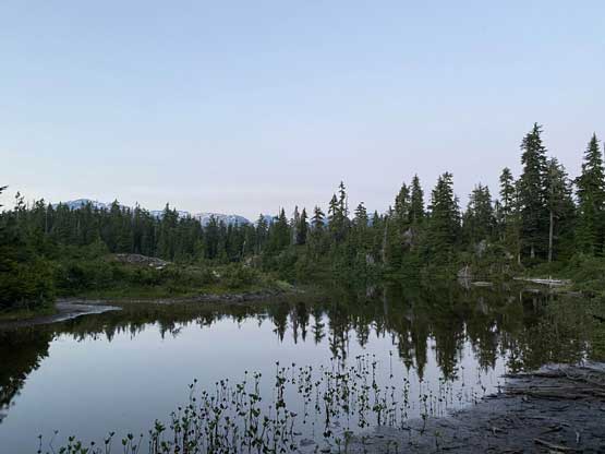
We took a long break before committing to the next stage, an unknown section of steep bushwhack down into Toba River headwaters before re-ascending towards that broad pass dividing with Elaho Glacier. This bushwhack was much harder than I thought with sections of vertical thrashing and a great deal of route-finding, but a while later we cleared it. We then traversed on mostly boulder fields and occasionally thick band of bush towards our destination of Day 3, sticking on the far left (north) side of the valley. We ascended all the way to the broad pass before finding out Jason and Rob had camped a little bit earlier beside a small lake. We then descended to the camp and had a relatively relaxed evening. The mosquitoes were brutal and that’s the only downside.

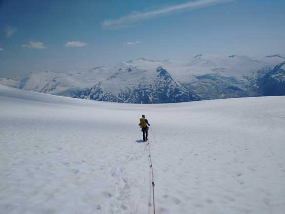
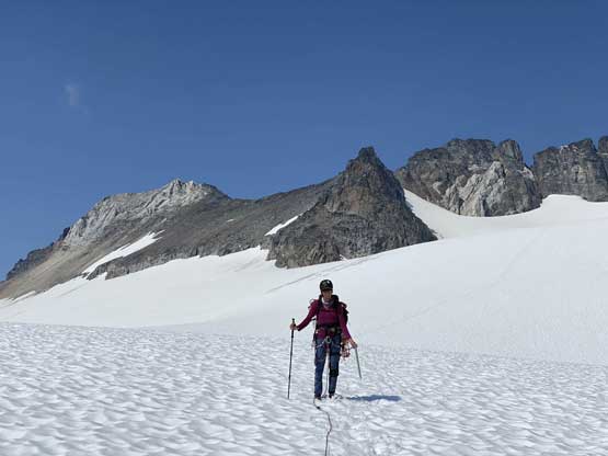
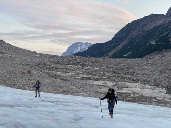
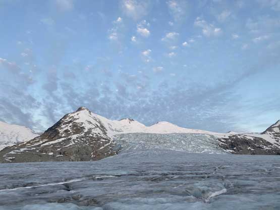
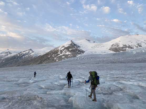
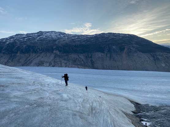
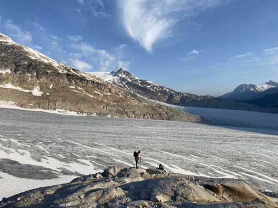
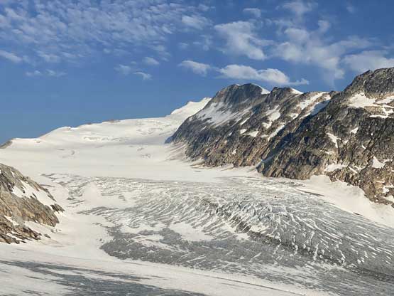
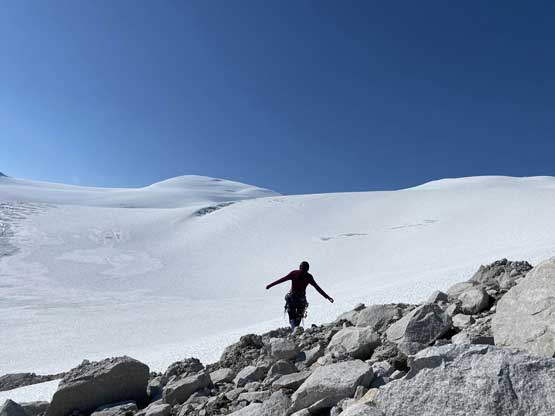
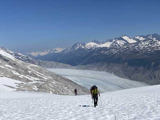
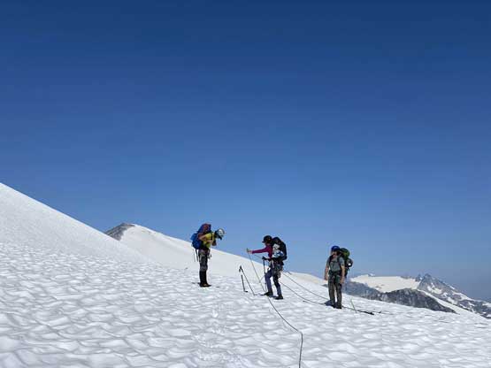
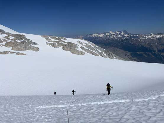
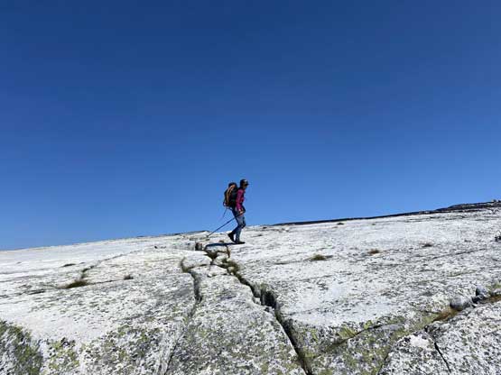
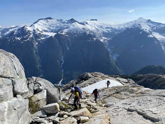
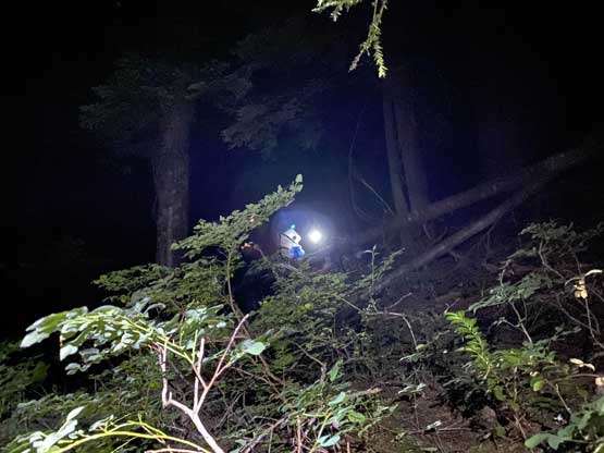
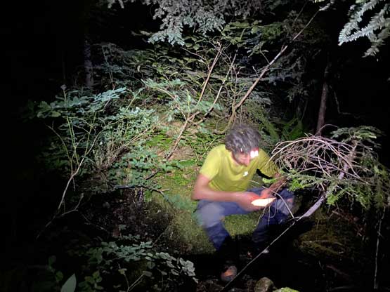
The more we looked at the maps the more we felt like the last day was going to be a massive push, so we agreed to wake up at 3:15 am to start in dark. We did manage to get going in the dark but only used head-lamps for 20 minutes or less. The first stretch was a confusing haul of boulder-hopping to ascend to the broad pass then descend the moraine to get onto Elaho Glacier. We tried to just walk on the ice for a bit but then decided to strap the crampons on. We had a lot of discussion about the few route options to get onto Elaho Range and in the end we opted for the closest with the least amount of ice-walk and the most amount of elevation change. This was actually my pick as well because we did not want to deal with uncertainties and the least amount of uncertainties should exist in the high country on snow. In retrospect we did pick a good choice to gain elevation quickly but then we picked a wrong ridge to ascend. After 500 m of steep grunting we unfortunately came to a dead-end with jagged rock towers blocking us and “Peak F” and after some frustrating inspection we determined that the only possibility was to lose 350 m elevation down east and re-start the grunt. Ellie and I went straight down and lost all of the elevation in one shot. Rob and Jason still tried to traverse around but in the end they also had to descend all the way down as there’s simply no short-cut around this ridge.

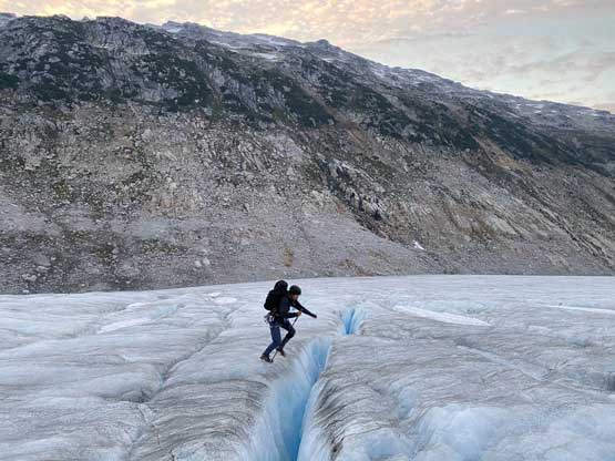


At this point we all realized that the size of our exit day was a hell lot bigger than anticipated but there’s nothing we could do other than plodding. We roped up with me leading across the next two pieces of glaciers and successively bypassing two more summits. There’s one mandatory 200 m elevation loss in the middle, which was unfortunate but that’s also the theme of Elaho Range traverse. Once the glacier’s finished we took another long break discussing route options and the choice was to ascend up and over a “crescent shaped peak” to the base of “Peak A”, which was the biggest of these bumps. The peak that we must shoot up and over turned out more difficult than we thought. We tried to use the rock ridge but soon gave up, but then the traverse on snow was steep for a long while. And finally at the base of “Peak A” I made the call to try an experimental traverse cutting across the south slopes for 2 horizontal kilometers as I figured if there’s a chance we could make it out, then this would be the way to go. There’s a bit of uncertainty near the end of this bypass but I decided to gamble on it. This of course turned out to be a great choice as the uncertainties (two gullies) turned out to be no worse than “class 2”.
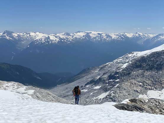
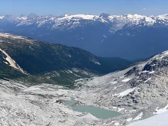

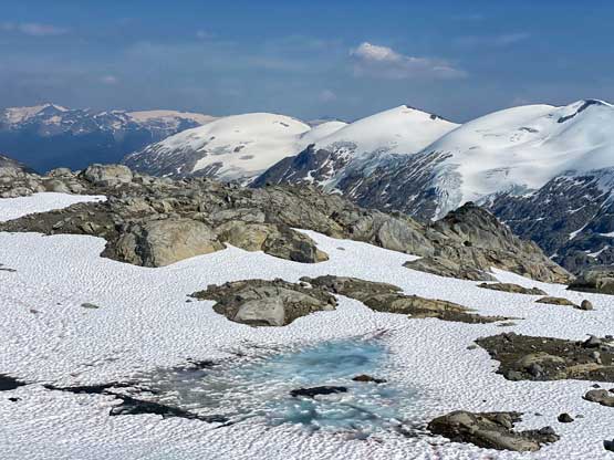
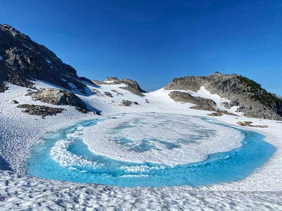
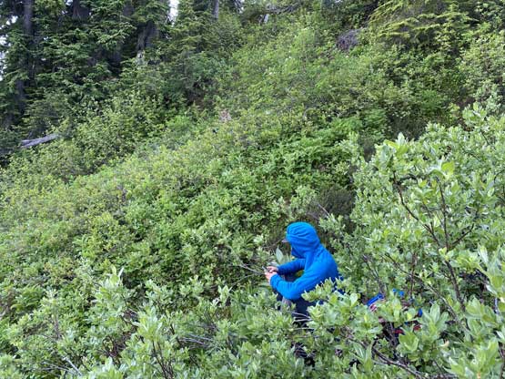
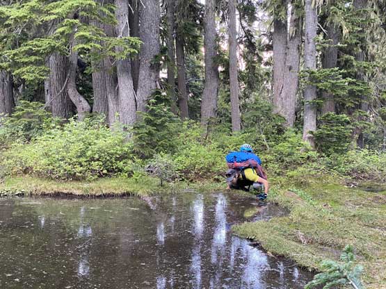
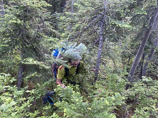
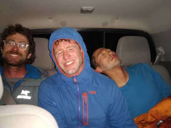
We kept the bypassing mode all the way to the first (frozen) lake that we encountered at 1800 m ish then tried our best to orient ourselves in the confusing micro-terrain in this treeline zone descent. There were gullies and ribs and the general bearing was somewhat against the natural trending of the terrain. We must aim for a rather-large lake at around 1050 m elevation and to get there we must deal with a hell loads of micro-terrain. The upper sections were already tricky enough and once diving into the bush we all realized this was going to be a miserable hell to thrash out. The bushwhacking was thick and the mosquitoes were horrendous and easily the worst I’ve experienced in SW BC. Usually by using Deet I’ve had great successes to deter the bugs but this time even the Deet failed. The terrain between 1150 m and 1050 m had a special deal with micro up-and-downs, ridges and gullies that by the time we finally came to that lake it was already head-lamp time. I tried to lead us down my intended route straight down aiming for the deactivated roads but more and more bluffs started to show up. We soon strapped the head-lamps on and I finally took Ellie’s suggestion here to aim straight down the forest gully/rib. The micro-terrain in my route would simply be impossible to navigate in the dark, so why not try a different strategy. This option was pretty simple for the start as we just needed to bomb down easy and open forest but then at 750 m elevation we had to make another decision. We inspected the option to follow the creek down but as expected, hell of alders and Devil’s Clubs pushed us back. The only other way was to traverse 50 vertical meters above the creek and side-hill for a few kilometers across the bush hell. Needless to say, it was not pretty. And just as we thought we were near the road we came to that secondary growth cut-block where “BW4” bushwhack awaited. Jason and I eventually came out of the hell at around 1 am onto a walkable road but still waits bands of thick alders to push through, and eventually made it out at 1:30 am, 21 hours after starting the dark. Ellie’s friend Nick was right there waiting for us (massive thank!). Ellie and Rob eventually made out two hours later and meanwhile, Jason and I had already set up tents to catch some rest.
The new decision was to push all the way back to Squamish so Jason and I quickly packed the tents and off we went. We were at basically the farthest driveable end of Elaho River FSR system so it’d be a few hours to get out. The bridge across the gorge of Elaho River was impressive (I wonder how long that would last), and a couple more kilometers later we came to a major wash-out that required 4×4, high clearance vehicle to drive through. The rest of the way had no major crux, but the road was consistently bumpy and slow-going. I slept for most of the way because I simply could not stay awake, even on such a crappy road. After the trip Ellie kindly offered a few of us a shower at her home and then Jason offered to drive me to Pemberton to retrieve my truck. I eventually got back home in the evening after a few more naps along the way. This was surely a bit too much of a push but awesome trip nonetheless.
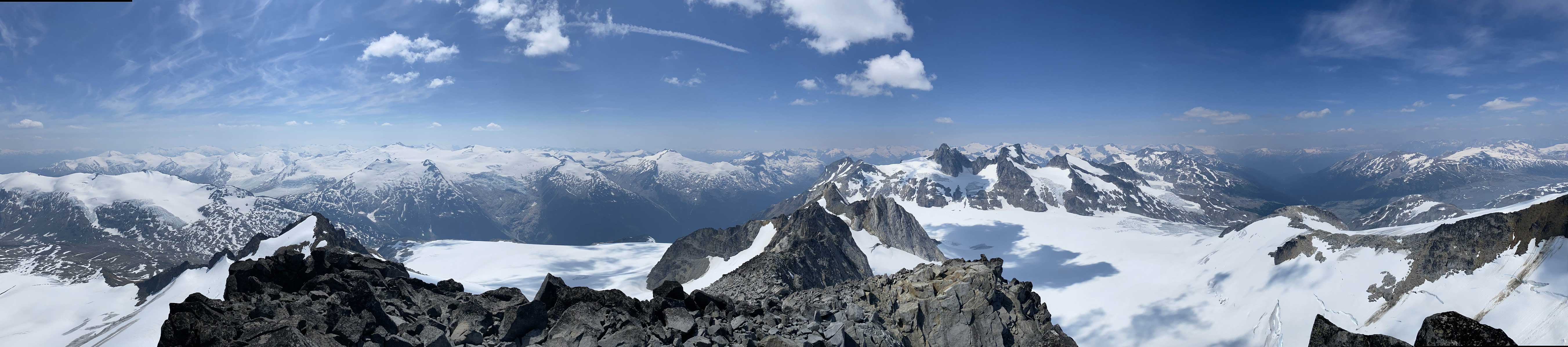
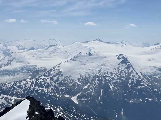
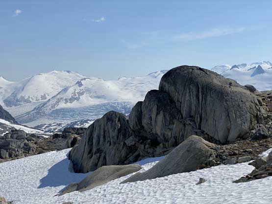
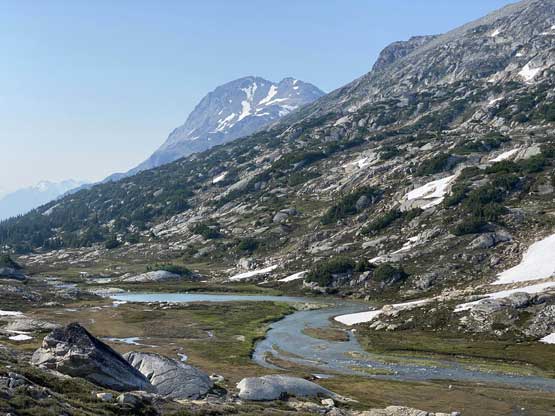
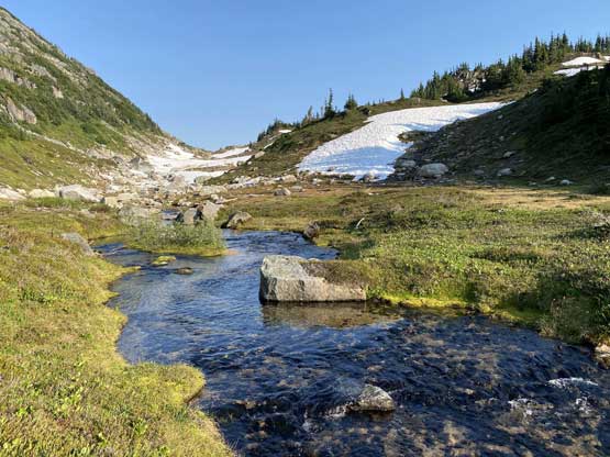
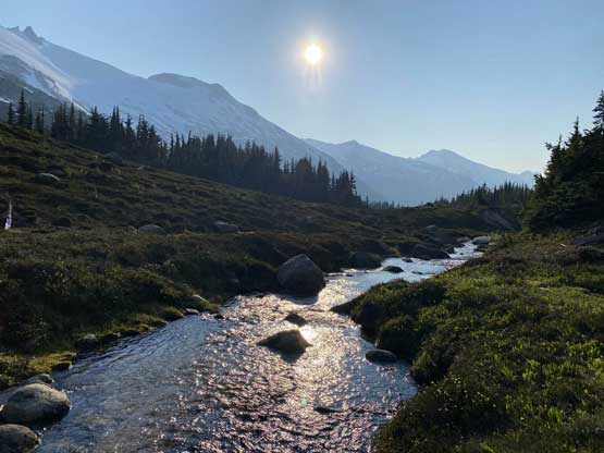
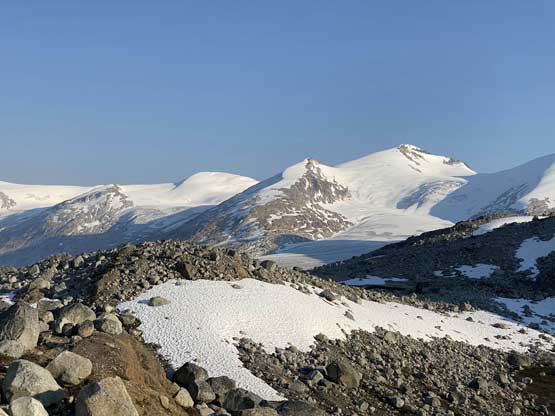
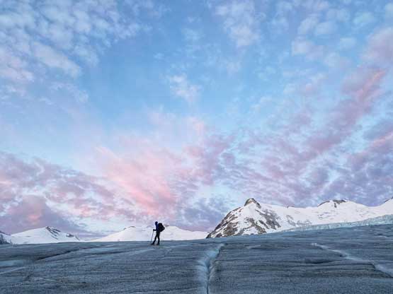
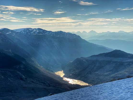
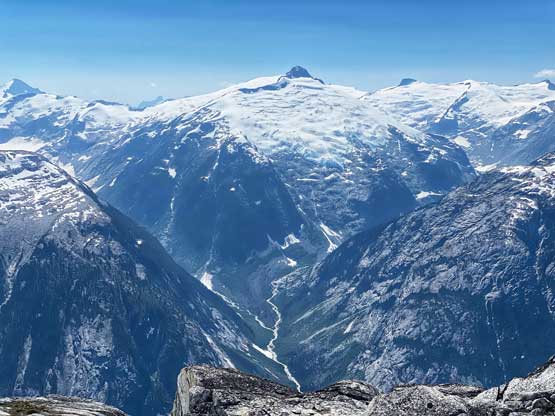
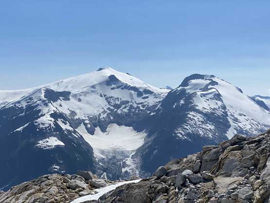
If people ask me what would be the highlight of this trip then I’d say neither Wahoo Tower nor Manatee Peak, but the vast scenery that we walked out through on Days 3 and 4. The headwaters of Toba River, the Yukon-feel of Elaho Glacier, and also looking south onto Sims-Clendinning Divide that Alex, Vlad and I traversed across a year ago in some equally remote regions are all sections that made this for some one of the most memorable in this year.
