Mount Laughlan
June 25, 2020
2283m
Boston Bar / Fraser Canyon, BC
Mt. Laughlan is the summit immediately to the south of The Nipple but because it’s not as tall as The Nipple (short by only 15 m) this peak receives considerably less interest. Quite a few ascents of The Nipple had been made in the past few years because it’s a “P4K” and is on a local peak-bagging list but I don’t often hear parties traversing to Mt. Laughlan. This is unfortunate as the scramble on Mt. Laughlan is considerably more enjoyable than the plod on The Nipple. For Duffy, Val and myself the primary objective was also The Nipple but the plan was to bag both peaks as my theory of peak-bagging is to clean as much in the area as I can such that I don’t have to come back and redo the approach. For the approach we explored the west side option from East Kookipi FSR. We drove to 830 m elevation and easily walked to the road’s end and then bushwhacked to the north ridge of The Nipple.

Ascents of The Nipple and Mt. Laughlan from west. GPX DL
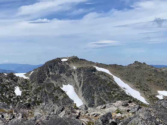
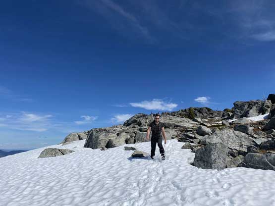
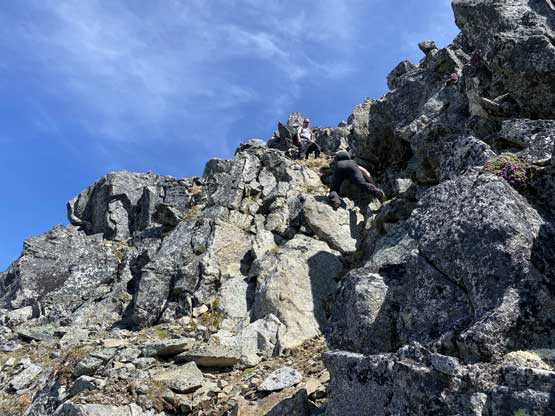
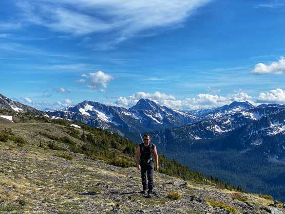
From Nipple/Laughlan col the ascent of Mt. Laughlan looked fun and I knew from Al and Katie’s recent trip that it’s mostly just class 2 on blocky terrain. We started by staying on snow and the snow soon ran out. We then stuck mostly to the ridge crest dealing with some big rocks and steps. There were two short but fun 3rd class steps but the upper step had some loose rocks. The terrain eventually mellowed out near the summit and transitioned onto a snowfield. The true summit had two boulders that offered some fun 3rd class scrambling. We took turn standing on all of the boulders just to be sure and then took a long ass break sitting on the grass that I almost felt asleep.

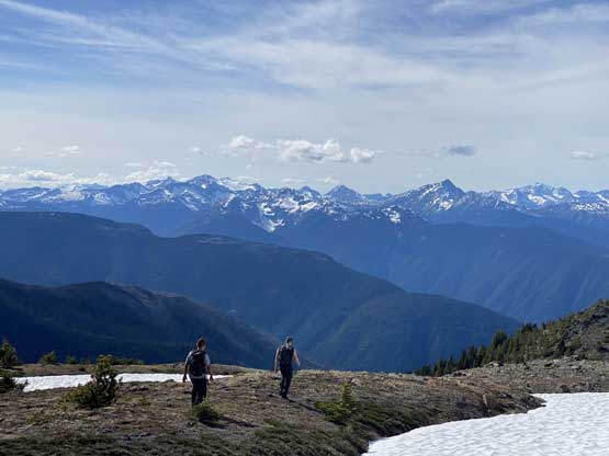
The north ridge of Mt. Laughlan ahead.
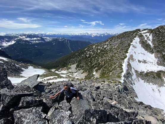
Duffy scrambling up the blocky terrain on the north ridge of Mt. Laughlan
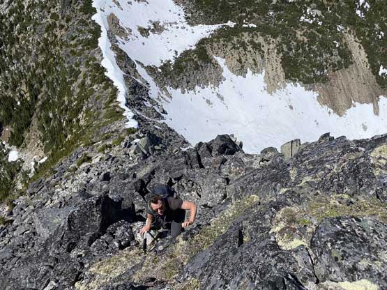
Val scrambling one of the few class 3 stretches
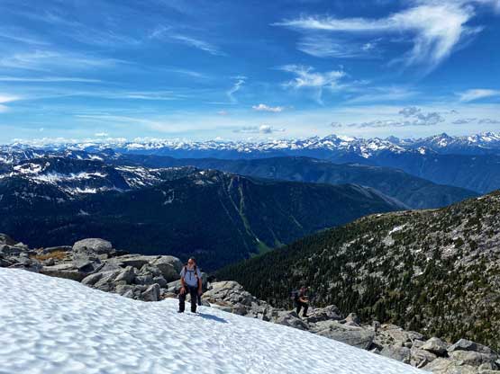
Duffy coming up to the summit snowfield.
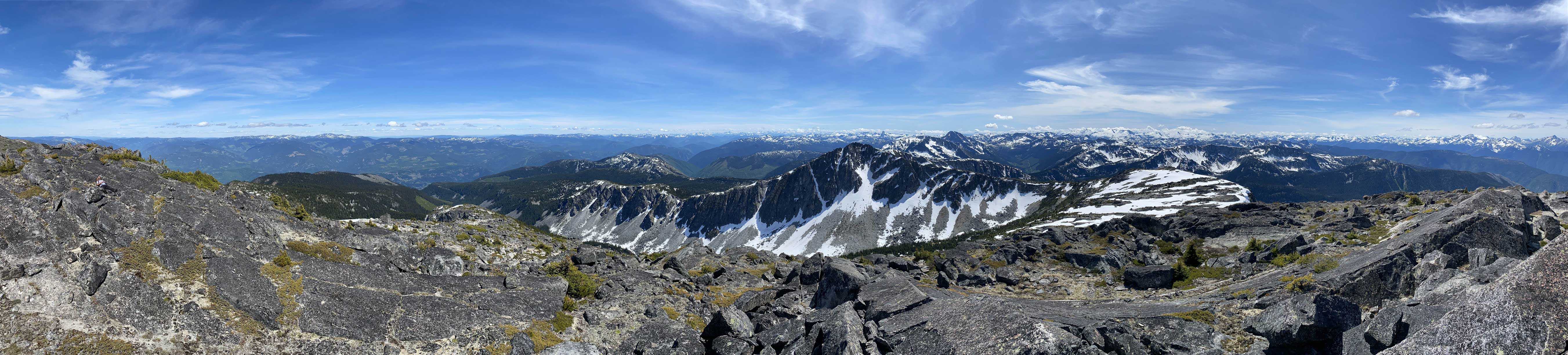
Partial Summit Panorama from Mt. Laughlan. Click to view large size.
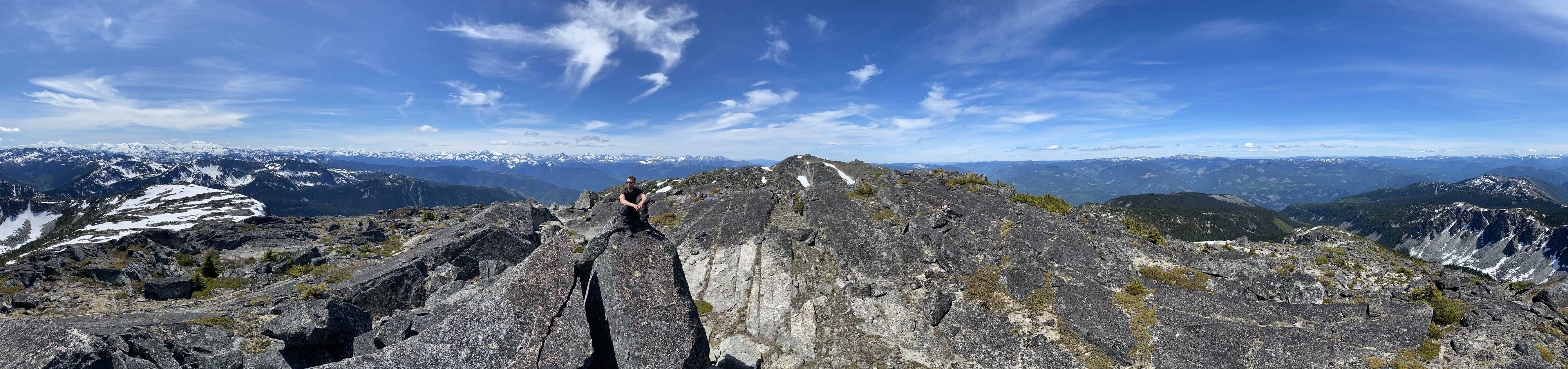
Partial Summit Panorama from Mt. Laughlan. Click to view large size.
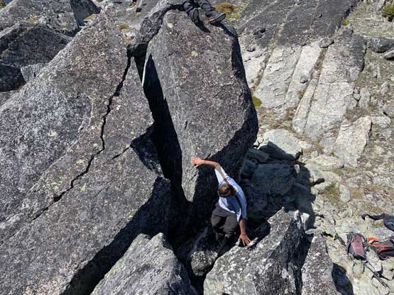
Duffy scrambling up the true summit block
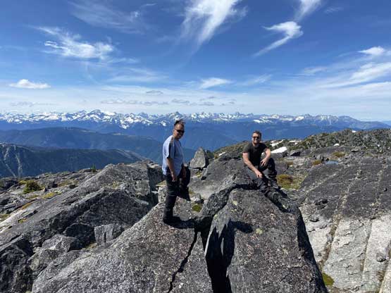
Duffy and Val on the summit of Mt. Laughlan
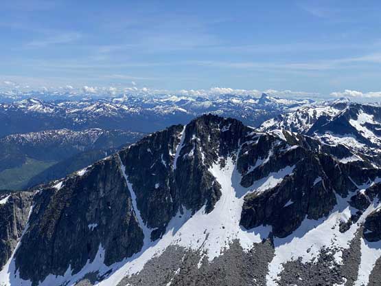
The north face of “Laughlan S1”
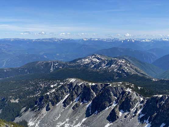
This is a eastern view into less-attractive summits
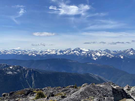
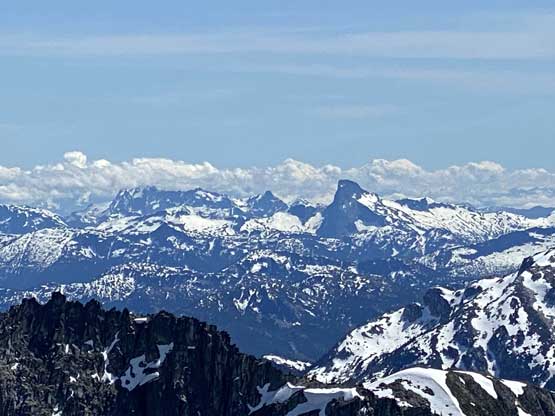
The high peaks by Kwoiek Glacier area on Stein Divide
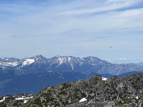
Nikaia Mountain, Klowa Mountain and Stein Mountain
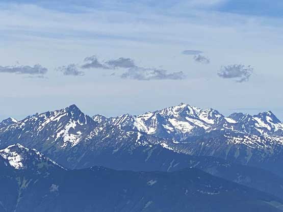
Kwoiek Needle and Skihist Mountain
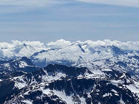
The glaciated massif of Traverse Peak
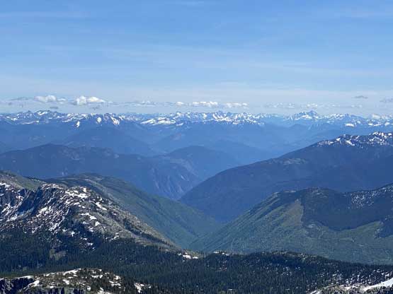
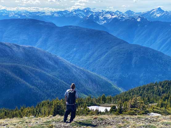
A southern view into the BC Cascades
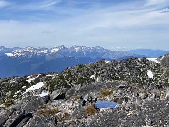
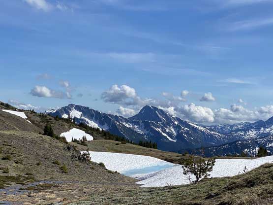
A small tarn on the summit area with Stein Mountain area behind
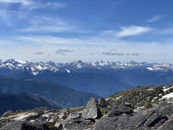
A wider shot towards Skihist Mountain at center
A closer look at the summit of The Nipple
The north face of Mt. Urquhart
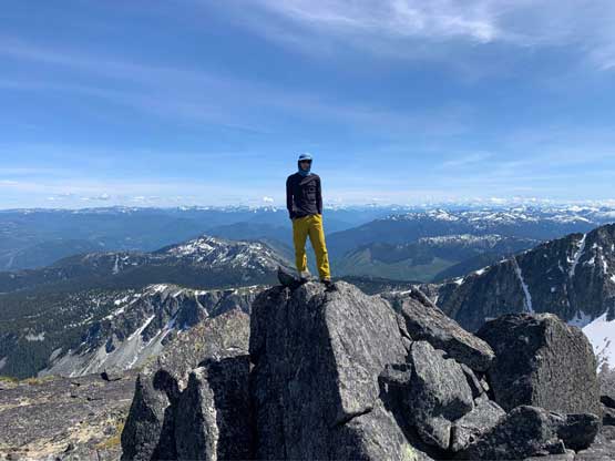
Val on the summit of Mt. Laughlan
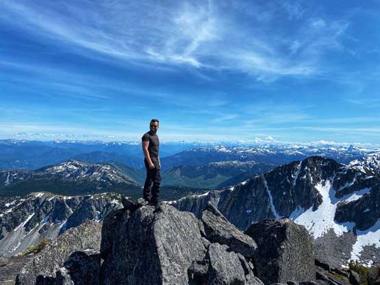
Me on the summit of Mt. Laughlan
On the descent we retraced our route down the north ridge and then decided to work our way around the southwest side of The Nipple to avoid elevation regain. The contouring was tedious at times with sections of bush and large boulders and of course, up-and-downs in the micro-terrain with substantial amount of route-finding. It worked out in the end and we got to the southwest corner of The Nipple without much of net elevation change, but I’m not very sure if I should recommend our route. Once onto the west side of The Nipple we then had a cruise sail to the north side where we dropped into the forest. The travel on the west side was mostly on open meadows and snow and was very enjoyable.
Val starting the descent
Down-climbing the upper 3rd class step

Looking sideways across the north face of Mt. Laughlan towards east
We decided to explore a bypass on the SW side of The Nipple. It wasn’t easy
There was some tricky route-finding and ugly terrain
But once around to the west side of The Nipple the going became much better
Looking back at the north face of Scuzzy Mountain
Easy peasy lemon squeezy..
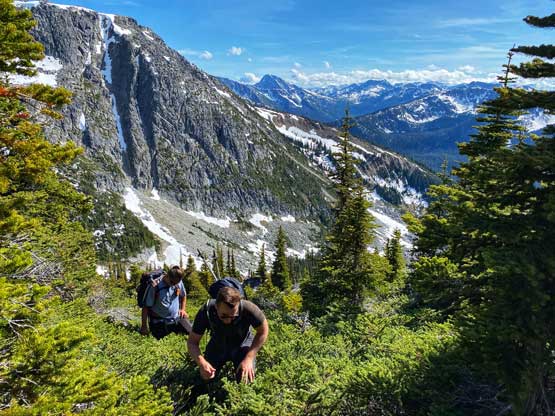
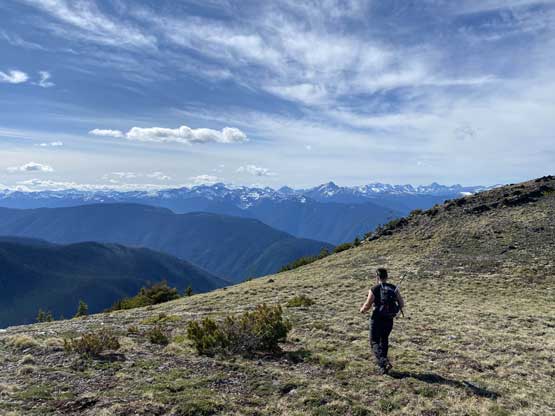
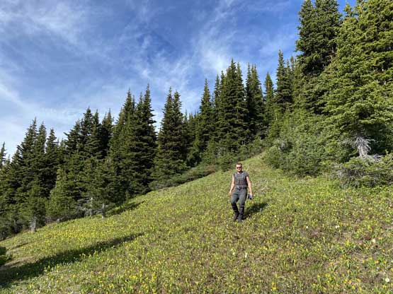
Duffy enjoying the alpine meadows rambling
Val with Scuzzy Mountain behind
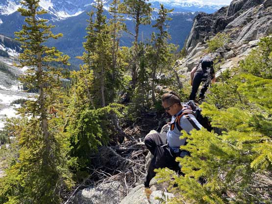
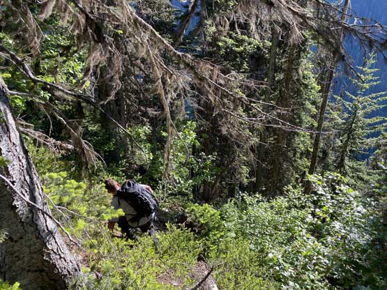
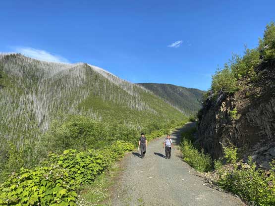
For the forested descent we followed closely to our GPS track and the going wasn’t as bad as we thought. The upper forest was a cruise. The lower forest and the cut-block was of course not fun, but also not terrible as the dead-falls were much easier to negotiate on the downhill direction. The grass in the cut-block was still wet and the ground was still difficult to see in a lot of places so that’s where we needed to pay extra attention. Once down to the road we took one last long break and meanwhile I swapped mountaineering boots back to trail-runners. The remaining 4 km of road plod was uneventful but very boring.
Nice and easy so far…
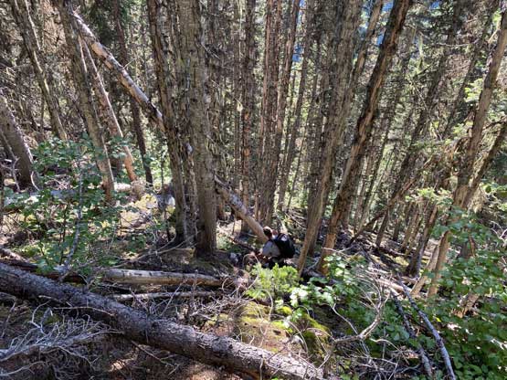
It’s not a SW BC trip without some bushwhacking, right?
It’s very steep around here
This was as bad as it got
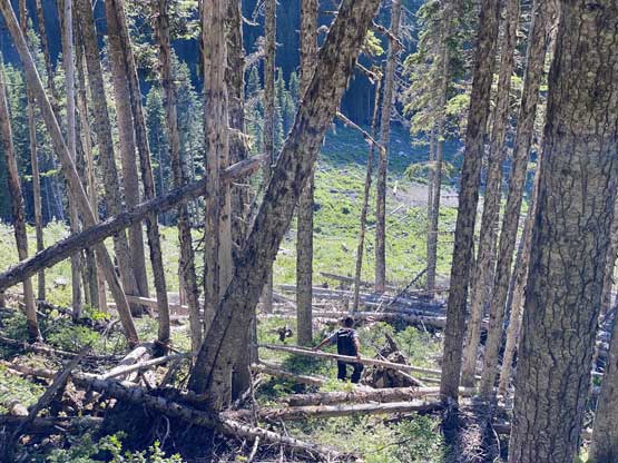
Duffy leading the way into the cut-block
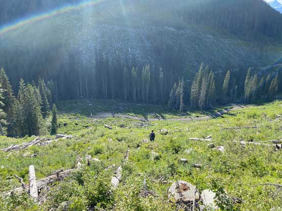
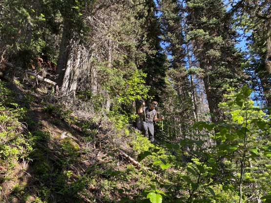
Careful work needed for descending this cut-block
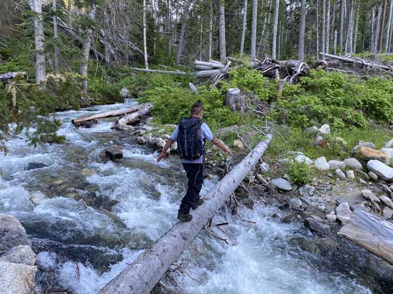
Balancing on the log to cross the raging creek
As much as the last 4 km went…
The trip wasn’t done yet as we still needed to drive home. After a kilometer or so down the spur road I noticed warnings on the tire pressure gauge and sure enough, the rear right tire picked up a nail and was leaking slowly. The pressure was down to 2/3 of the normal so we decided to just keep driving if the tire pressure wouldn’t drop further. Indeed, it didn’t drop by much but I did drive more cautiously on the way out. We kept driving all the way to Hope to eventually find a gas station with a pump and pumped it up, and had no further issue driving back home. The following day I went to the dealership and we measured the tires’ treads were down to less than 40% so I changed all of them to the all terrain tires. It was 1800 dollars including taxes plus a maintenance to finally say goodbye to the stock tires.
