Flood Peak
July 1, 2017
2347m
Lillooet River / Garibaldi Provincial Park, BC
“Flood Peak” in the unofficial name of a fairly prominent rocky summit on the McBride Range on the far eastern boundary of Garibaldi Provincial Park. The access is however, not from the traditional Whistler side, but rather via a system of logging roads from Lillooet River about 40 km south-east of Pemberton. There’s very little information about this area and there’s plenty of opportunity to explore. The plan among Alex, Ben, Daniel and myself in this past July long weekend was to bag as many peaks as possible in a span of 4 days and Flood Peak was our second objective on Day 1.
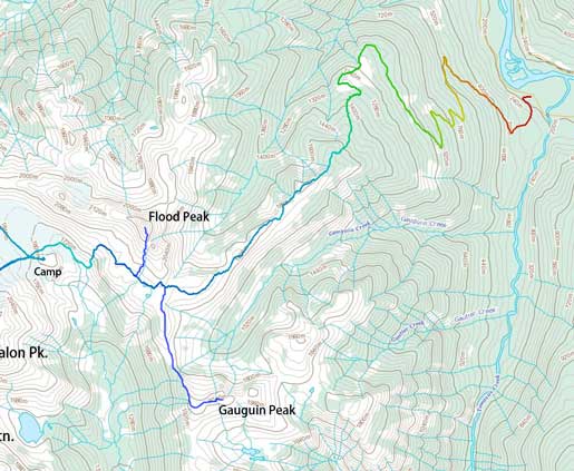
Ascent route for Gauguin Peak and Flood Peak from Lillooet River
Earlier in the day we had approached and ascended Gauguin Peak and now with a couple more hours to kill we figured it’s better to knock Flood Peak off right now instead of on the last day. Based on earlier observation we concluded that it’s possible to roughly follow the S/SE Ridge up however, there appeared to have a continuous snow route on the SW side shaving at least half of the rock scramble. This seemed very appealing so we aimed towards the bottom of that snow route and then dropped our packs. The snow ascent was mostly 30-35 degrees although with occasional steeper stretches, and the condition was soft enough to allow some firm kicks. We had left ice axes and crampons behind which turned out to be a good call. We regrouped upon merging back onto rocks.
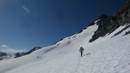
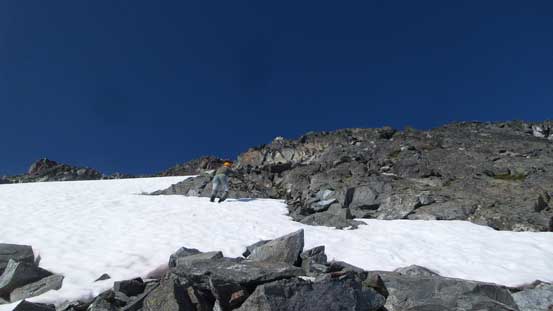
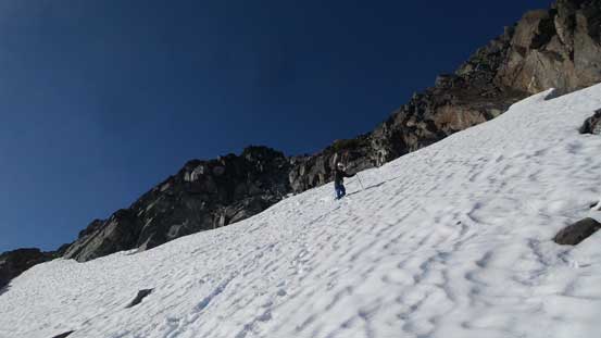
Daniel leading the way traversing to the base of snow slope
Alex traversing
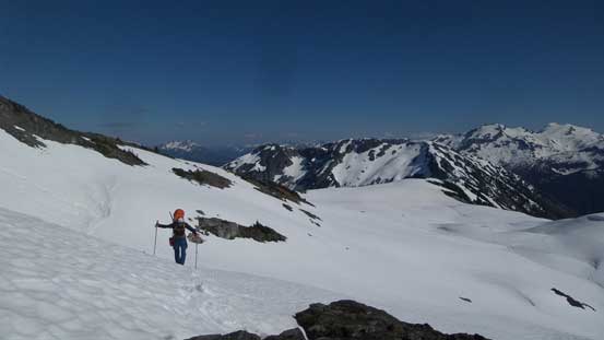
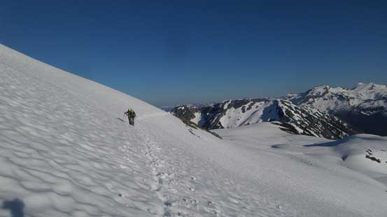
Gaining height rapidly by ascending that snow slope
A mix of snow and rock for some variety
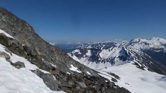
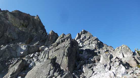
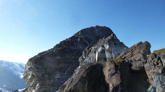
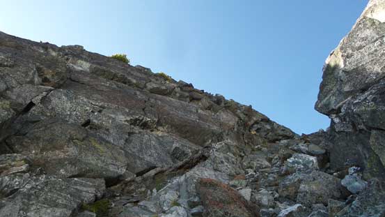
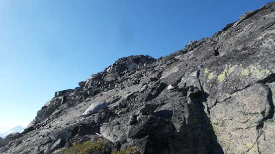
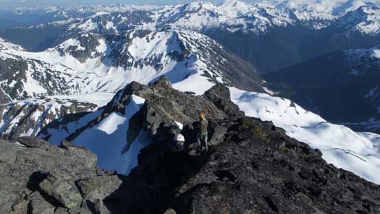
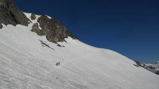
The broad south ridge led us to a prominent steep wall which was easily avoided on climber’s right side. A couple cairns ensured that we were on route and at least, someone had been up this way. Beyond that wall the ridge narrowed down into a notch feature. Ascending out of the notch looked difficult, but turned out to be nothing trickier than 3rd class scrambling. The true summit was still quite a bit of ways to go but we all made there in a good time.
Upon reaching this section we ascended easily on climber’s right side
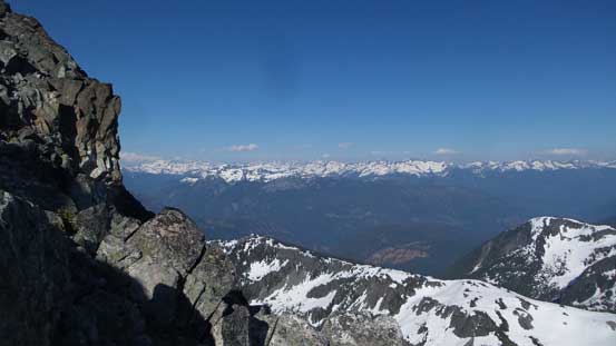
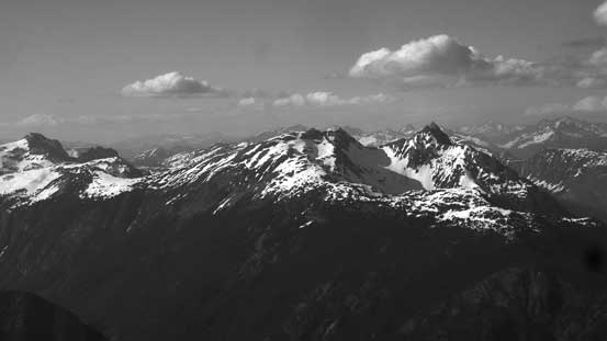
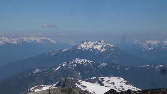
The eastern horizon and peaks by Stein Divide
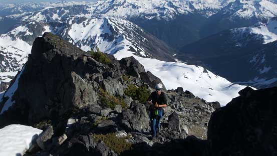
Alex scrambling up the south ridge
This is the notch feature
It turned out to be 3rd class scrambling and nothing fancier than that
The rest is just a plod
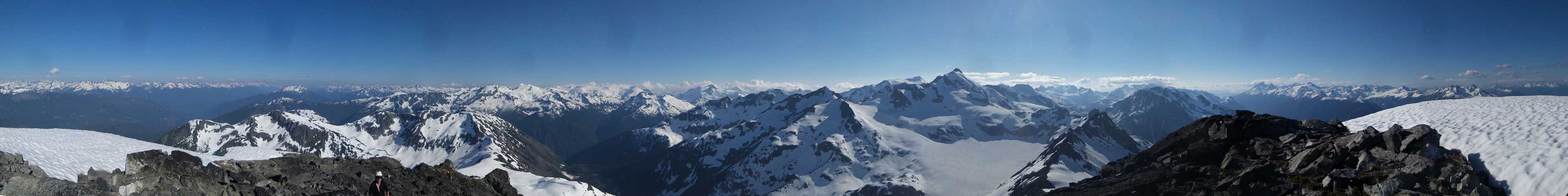
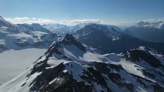
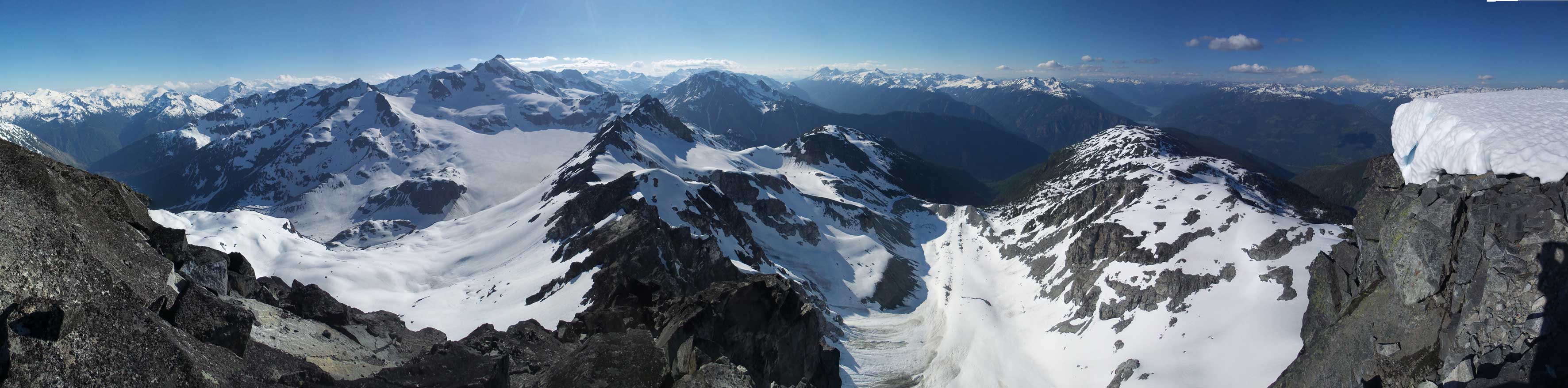
Summit Panorama from Flood Peak. Click to view large size.
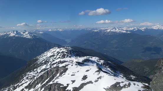
Looking north towards Lillooet Lake
Tenas Peak in the foreground; Outlier Peak and Spearhead Range behind
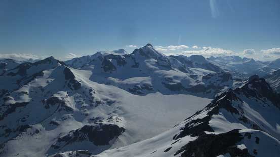
Nivalis Mountain looking very majestic from this angle
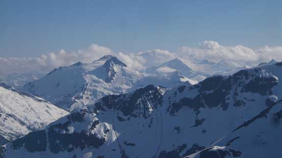
A look at Wedge Mountain and Mt. James Turner
Gunsight Peak right of center
Mt. Pitt
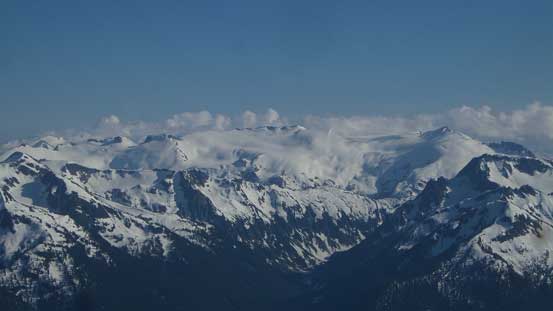
Snowcap Peak
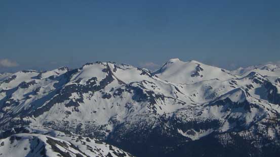
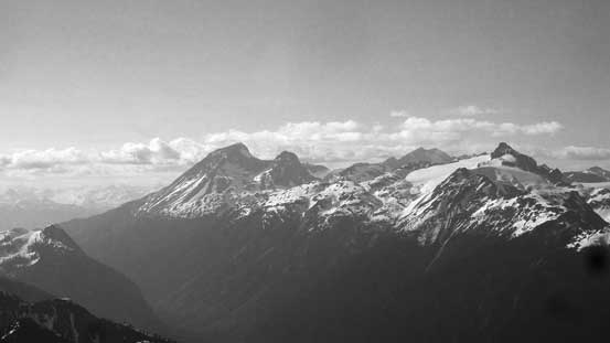
Greymantle Mountain and Greenmantle Mountain
Fire Mountain by Harrison Lake
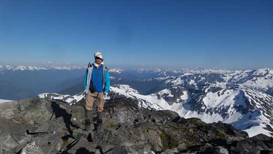
Me on the summit of Flood Peak
Another panorama from Flood Peak. Click to view large size.
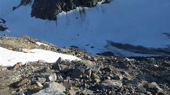
Despite the lateness of the day we lingered at least half an hour on the summit soaking in the views. But eventually it’s time to get going. Retracing our route back down to where we ditched backpacks went smoothly and then we had to face the last bit of adventure of this day. The destination of Day 1 was set to a rocky “island” near the toe of the glacier east of Nivalis Mountain and to get there we had to drop at least 300 m elevation. Part of this route was not obvious and apart from “it goes” in spring time conditions we had no beta. Alex led a line traversing a bit too high up than necessary which although avoided some elevation loss/regain, did put us into a section of miserable moraine/scree. Descending that part was tricky and painful but after that it’s an easy stroll to the campsite.
Time to head down
Descending on snow following our foot steps
Now, starting the traverse further due west
More about the traverse
We had to descend this long stretch of shitty stuffs
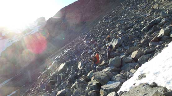
Having fun on the unstable boulders and moraine
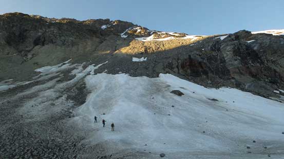
Finally down to the valley floor. Time for a short glacial plod
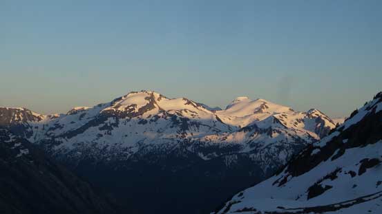
Evening colours on Icemantle Group
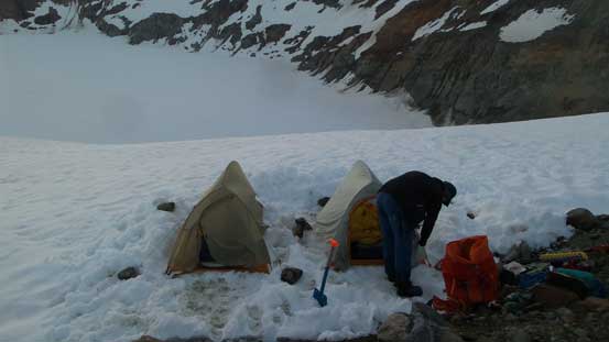
Setting up camp
The choice of campsite was pretty good that we could relax and put gears on rocks. The rocks weren’t as flat as they appeared from distance though so Alex and I had to pitch our tents on snow which was fine nonetheless. We did have to melt snow for dinner and water which was the only downside but with more-than-enough fuel this wouldn’t be a problem. Sleep came easily after such a tiring day and the decision of Day 2 was to ascend Talon Peak and Adieu Mountain and then possibly traversing towards The Orphans making a triple kill combo.
