Union Peak
February 9, 2016
1736m
Stevens Pass, WA
This past Tuesday had some guaranteed sunshine but at the same time, temperature had gone ridiculous with freezing level approaching 4000 m for pretty much anywhere in SW BC and Washington. For that matter anything big would have to wait and I was struggling to plan my trip. But knowing I was on my 498th summit I had to find a worthy 2-peak objective and after a ton of researching I found myself eyeing on a group of peaks by Stevens Pass along US-2 corridor deep in the Cascade Mountains. I had previously never been that far down south and I felt excited to explore a new area. Jove Peak seemed to have some incredible views but to get there I’d have to traverse up and over the smaller Union Peak, and my reference was Wenatchee Outdoors, WillhiteWeb, and Summit Post…
Union Peak to Jove Peak winter ascent route. GPX DL
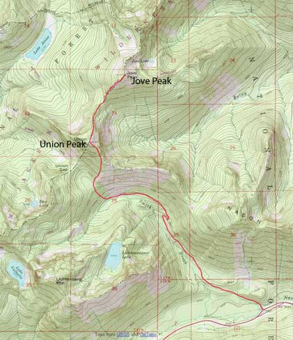
For some reasons it seems like most Vancouver-based hikers decide to give Washington state a miss especially for areas further south than Mt. Baker, but I don’t know why. The driving distance from my home to Stevens Pass is only 270 km and comparing to Lillooet (280 km) and Manning Park (210 km) this seems very reasonable even for day-trips. The drive took me less than 3.5 hours and by 9 am I parked at the pull-out a few kilometers east of the Stevens Pass divide along Highway 2. There’s no maintenance for Smithbrook Road in winter so there’s roughly 5 km extra distance (one way), but given the popularity this road was very packed down. I strapped my snowshoes on anyway as they gave me some extra traction on the uphill travel and in over 1 hour I had done the “road slog” approach.
The initial 300 m was hiking along the side of the highway
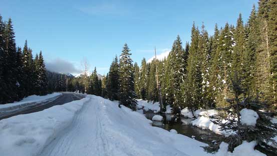
Smith Brook still had liquid water flowing

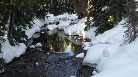
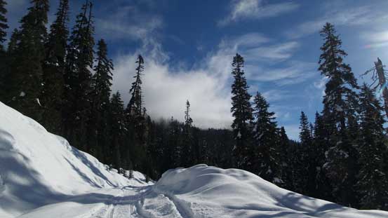
Plodding up Smithbrook Road
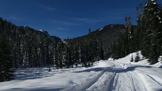
It’s like this for 5 km…
Looking back
The road crosses an impressive avalanche path at one point
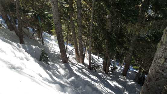
The route entered the forest from the second switchback (first big switchback) along that road, aiming more or less straight towards Union Gap initially. And sure enough, I noticed a set of snowshoe tracks going into the forest towards the direction I wanted. That was surely a welcoming sign and I took it for granted. The uphill snowshoeing condition was ideal with no post-holing involved (thank to the tracks) and the snow surface was soft “just to the point” to offer excellent gripping. With the heal-lifts on I felt like walking upstairs and in no time I arrived at a flatter bench.
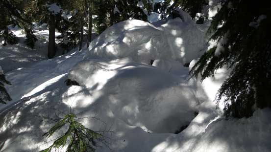
Lots and lots of snow in the forest

Sunbeam
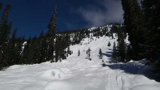
From there the tracks veered climber’s right just as I was hoping for and the next while was spent ascending an increasingly steep forest up Union Peak’s south-west slopes. There were some really steep sections about halfway up the slope but again, the tracks had made my work pretty effortless. Those tracks were also created by Lightning Ascent snowshoes and judging by its steepness, the choice of switch-backing and some micro-terrain route-finding it seemed like whoever made the tracks was also an experienced backcountry snowshoeer. The grade felt just ideal given the snow texture and the gears we had. Looking back I could see peaks like Lichtenberg Mountain started to get smaller and smaller and the next thing I realized I had already crested the broad SE Ridge.
Steep ascent through forest
Cresting the SE Ridge, looking over the other side
The tracks had led me intersecting the ridge pretty high up and it didn’t take me long to follow that broad forested ridge to the summit. To my disappointment the summit was more than 50% forested so I had to wonder around for quite a bit to soak in the views. It was also windy on the summit so I didn’t linger too long.
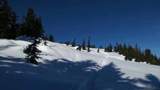
Near the summit, the terrain started to open up
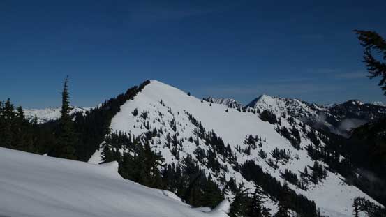
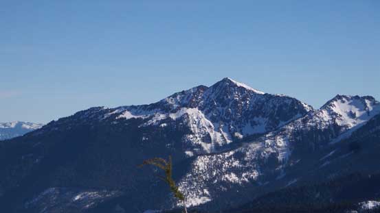
Jove Peak – my next objective
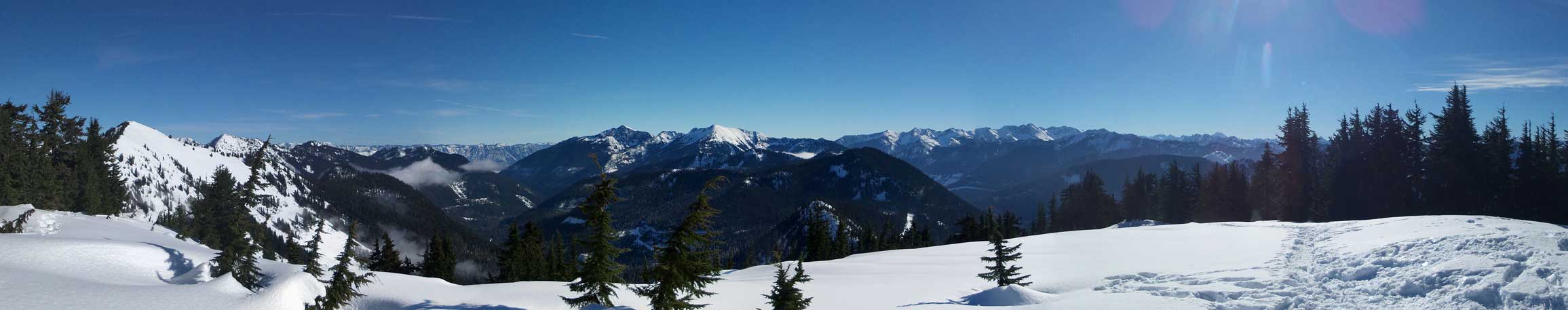
Partial summit panorama from Union Peak. Click to view large size.
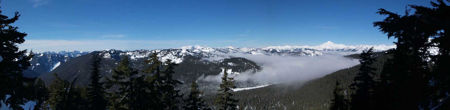
Partial summit panorama from Union Peak. Click to view large size.
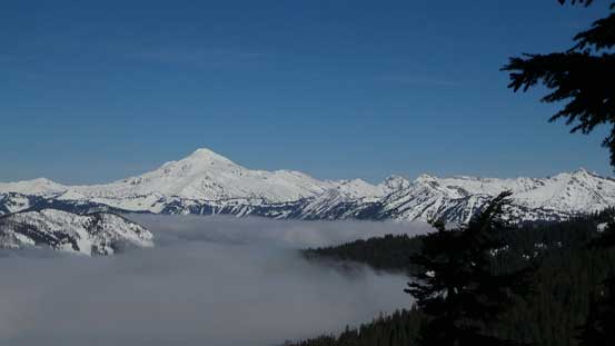
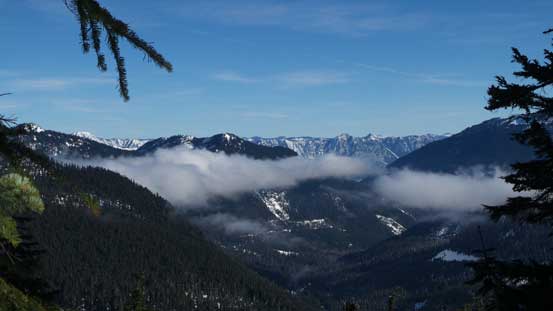
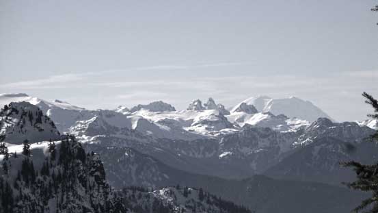
Glacier Peak and the valley clouds

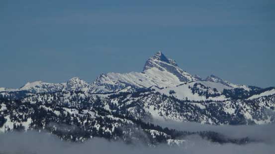
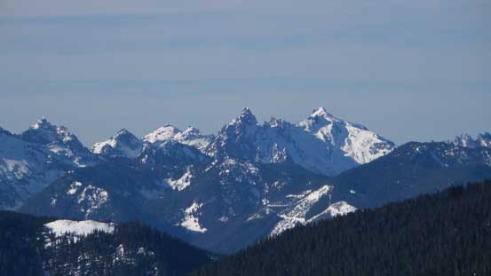
From L to R: Columbia Peak, Kyes Peak and Cadet Peak
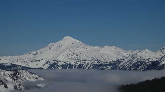
A closer look at Glacier Peak, the most remote of Washington’s volcanoes
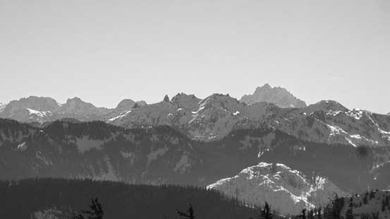
Sloan Peak – “Matterhorn of the Cascades”
The impressive Gunn Peak along Highway 2 corridor
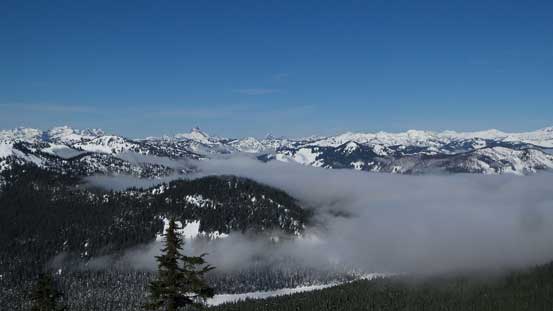
Another look at the valley inversion clouds.
The mighty Mt. Stuart pokes behind from south-east. It’s one of the fifty classics
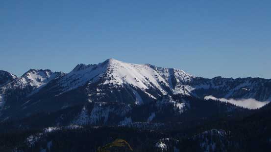
Rock Mountain is another winter classic near Stevens Pass
Mt. Howard behind Rock Mountain
The grand daddy – Mt. Rainier pokes behind
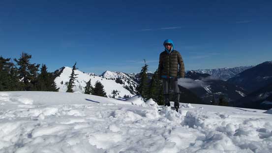
Me on the summit of Union Peak
Thankfully my next objective further along the ridge appeared nice and open so off I went towards Jove Peak.
