Victoria Peak
September 3-4, 2020
2169m
Vancouver Island, BC
Victoria Peak is the 3rd highest and the 2nd most prominent on Vancouver Island, separated from the higher Strathcona giants (Golden Hinde and Elkhorn Mountain) by Elk and Gold Rivers. The stats suggests that Victoria Peak is one of the most important summits on the island from any perspective and it sure is. It’s an “ultra prominent peak” that attracts international peak-baggers and also on the locally fabled “Island Qualifiers” list. The standard route is however, a fairly straightforward one from mountaineering perspective. The south face is a little bit more than “just a scramble” with a single short pitch of 4th class aided by some fixed slings. Most parties would need one rappel to get off that step. The driving direction is a little confusing and complicated but with the nowadays GPS technology it’s not a problem at all. The last 1-2 km requires a high clearance 4×4 vehicle.

Victoria Peak standard south face route. GPX DL
Winnie had been off-work and wanted to get out for “anywhere with good weather for any number of days” in the beginning of September. I knew she really wanted to climb some classics in Rogers Pass and Bugaboos but I wanted to make sure she had done enough scrambling and mountaineering on loose rocks before moving onto the classic ones. I threw out the idea of bagging the northern island ultras and she agreed. Victoria Peak seemed like an introductory island climb for her so we aimed for this one first. We took the first ferry from Horseshoe Bay to Nanaimo and drove northwards to Campbell River. We then turned west towards Gold River and then up north onto Gold River Main. I was exhausted and took a nap somewhere down that logging road. After the much-needed nap I resumed the drive. The last few switchbacks had a few deep ditches bridged by sketchy-looking wooden planks. It’s difficult to trust the strength of those planks but I figured if other vehicles had made through then I wouldn’t have a problem neither. With that bit of fate I had no problem making to the road’s end in my trusty Tacoma.
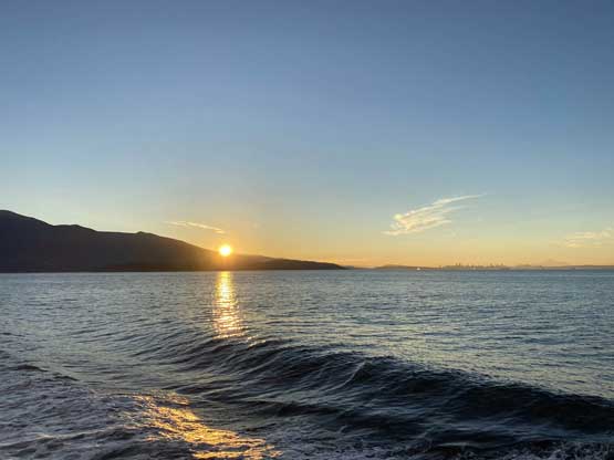
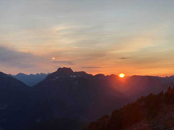
Sunrise from the ferry ride
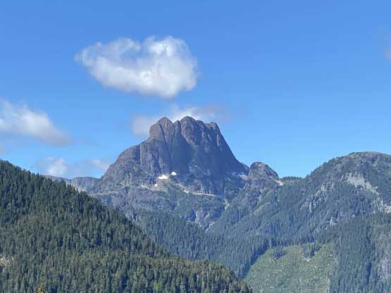
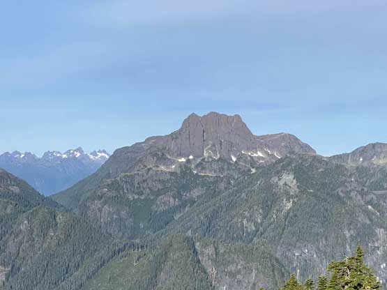
Sutton Peak from the drive
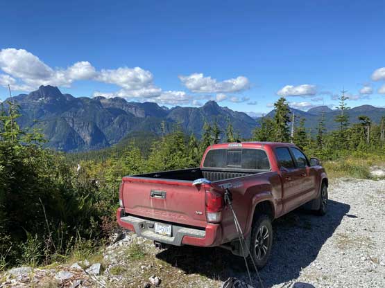
My Tacoma at the driveable end.
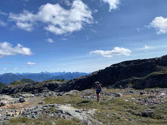
The way Winnie and I do trips is to not rush. We would take our time and stretch what seemed like just a day-trip into two days. Our goal for the first day was to drop camp at the tarn at around 1500 m and go bag the summit in the late-afternoon. We didn’t start the approach until 2 pm so we did have to hurry up a little bit. With the preloaded GPS tracks we had no issue finding the climber’s trail heading steeply onto the broad south ridge extension, and followed the fainting path towards the zone where we would camp. It took us a while to find the correct tarn to set up the tent. The density of mosquitoes was tolerable but the views weren’t as expansive as I was expecting.
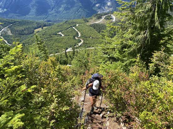
The initial grunt onto the ridge wasn’t very enjoyable

Passing by several stagnant tarns
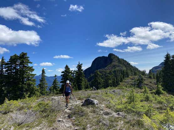
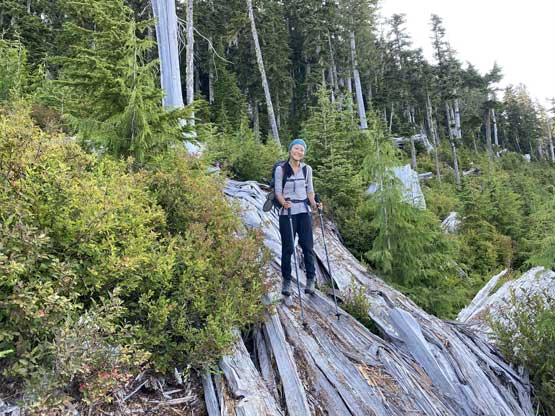
Winnie on the broad south ridge now

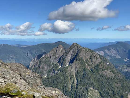
Sutton Range views

Sutton Peak dominates the western skyline
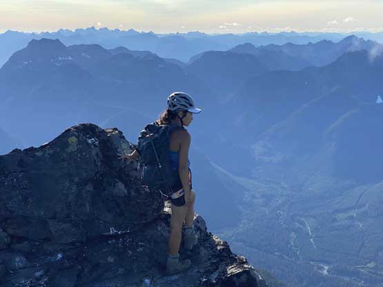
Me with Victoria Peak behind. Photo by Winnie M.
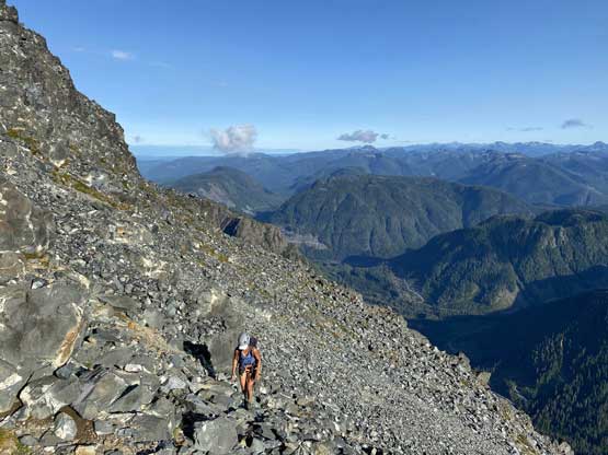
Scrambling up a steep section
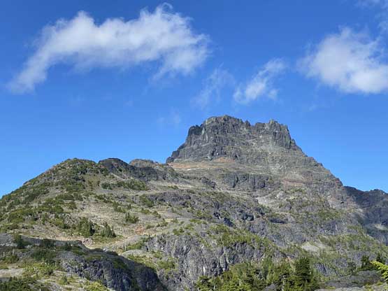
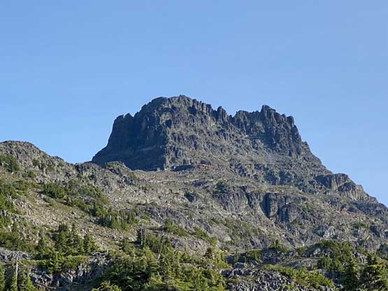
A closer look at Victoria Peak’s south face

Passing by another tarn, with Queen Peak behind
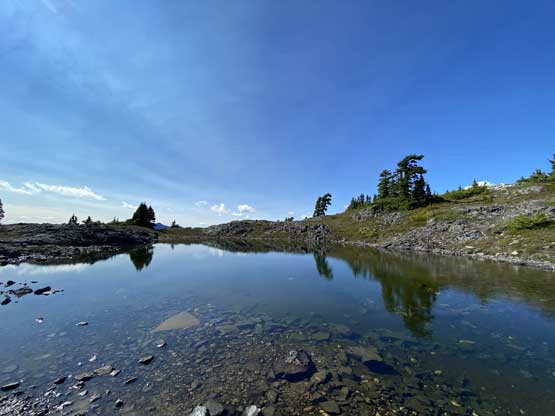
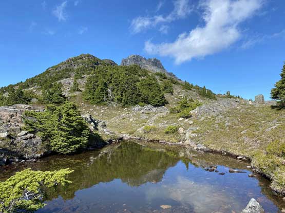
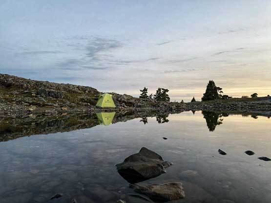
Finally arriving at the main tarn where we would set up camp at
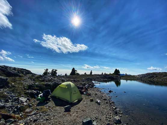
Home sweet home!
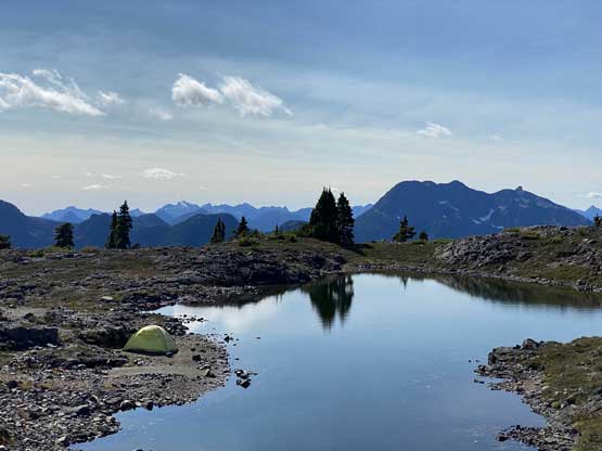
Our tent and the tarn.
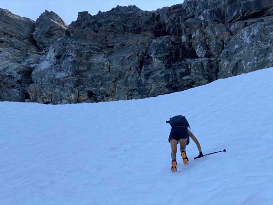
After setting up the tent we immediately started the ascent. I swapped trail-runners for my mountaineering boots. For the next few hundred meters we did not manage to stay on the most efficient line as we lost the trail many times and did some unnecessary bushwhacking. Above 1700 m we started to traverse climber’s right on an obvious wide bench aiming for a shoulder at around 1820 m elevation. This stretch was also not as pleasant as I expected because of boulders and micro-terrain up-and-downs. After rounding that corner we had a bit more of traversing before strapping crampons on for the short bits of steep snow descent. We lost about 50 m elevation on the snow but also found a neat spot to fill up the water bottles.
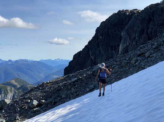
Traversing a broad plateau above our camp
Yep we passed another tarn on the ridge
Queen Peak now looks considerably lower
Winnie traversing across a boulder field
The typical terrain on the ridge leading towards the snowfield
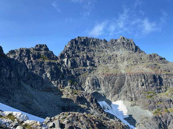
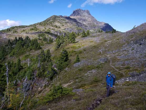
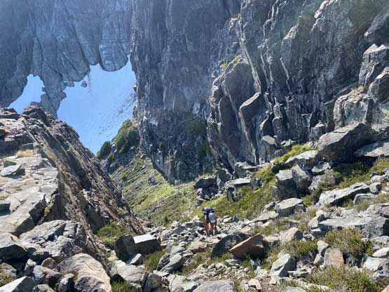
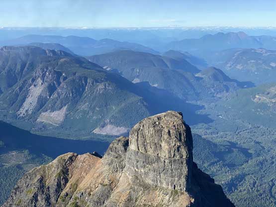
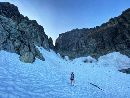
Around the corner, this is Victoria Peak’s S. Face head-on view
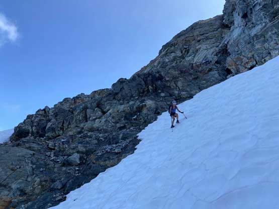
Winnie hopping onto the steep snow
A bit of down-climbing facing into the slope
Traversing another (mellower) patch of snow after filling up water
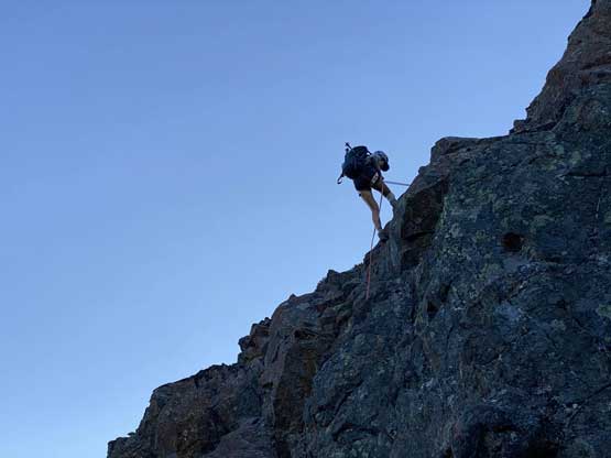
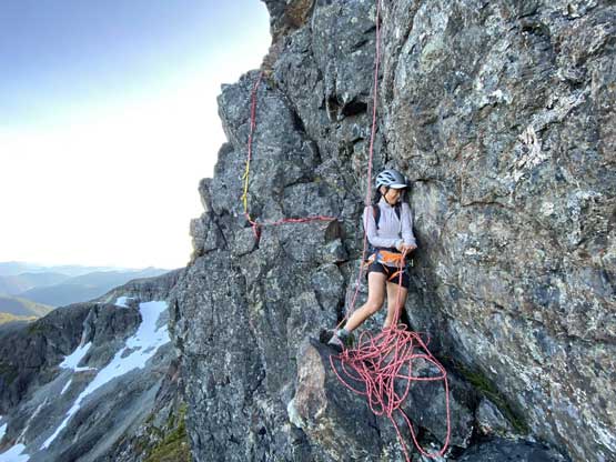
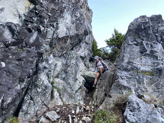
We had come here with enough beta about the route-finding on the lower south face that I had already memorized everything and didn’t need to pull out any information. We ascended some snow then some shitty scree to the base of a “hidden chimney” where we met two climbers descending. One of them turned out to be Kris Mutafov who recognized me out on Instagram later. Both of them were actually following me on Instagram. I was a little surprised as I wasn’t expecting people to recognize me out given how little I’ve done on the island. Above the “hidden chimney” we traversed the easy and wide ledge out right (east) all the way to the end where the short pitch was located. Winnie volunteered to put rock shoes on and did her first ever lead in the mountains and she did an absolutely fantastic job. Following the crux spot on my mountaineering boots was a little stiff without grabbing the fixed sling but elsewhere was easy. Assuming one does grab the sling I do agree with the 4th class rating.
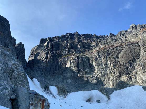
Directly under the South Face now but we would head climber’s right
Directly under the “hidden gully” now
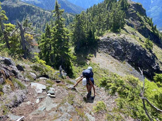
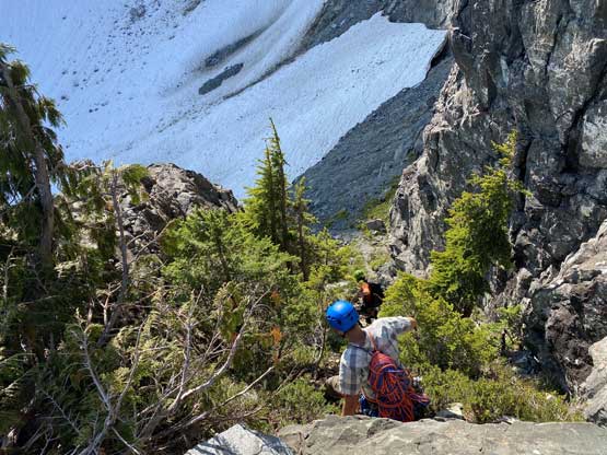
Winnie scrambling through probably the shittiest stretch of this ascent

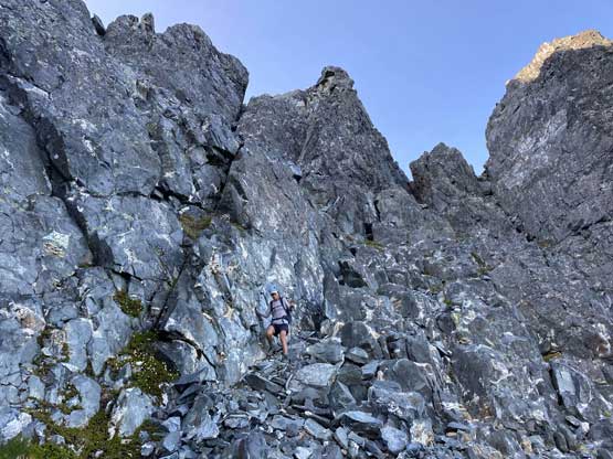
Winnie scrambling up the “hidden gully”
The other group descending this same spot

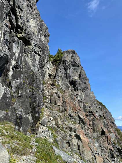
The wide ledge cutting across the south face
The typical terrain on the ledge traverse

Around another corner.
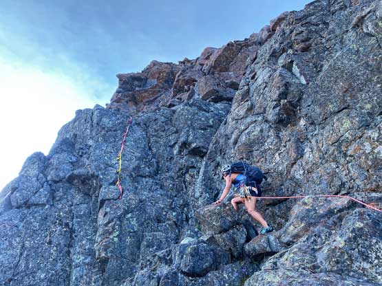
Winnie leading the technical crux on South Face of Victoria Peak
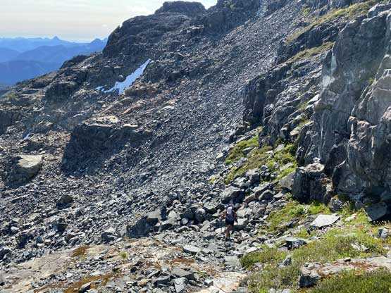
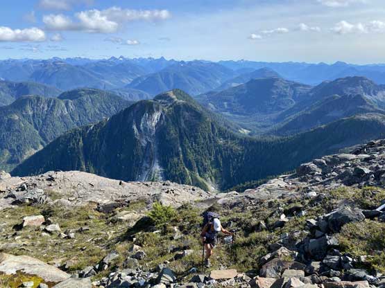
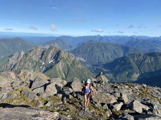
The upper south face consisted of some sustained 3rd class terrain with lots of route-finding and loose rocks. None of us did much research about this stretch but we did come here with two separate sets of GPS tracks. I did not end up needing the GPS tracks and my route-finding on this type of terrain is pretty decent. We kept a general leftwards bearing and managed to keep the scrambling well within the grade of “class 3” all the way to the summit.
Winnie above the technical step, back onto easy ground
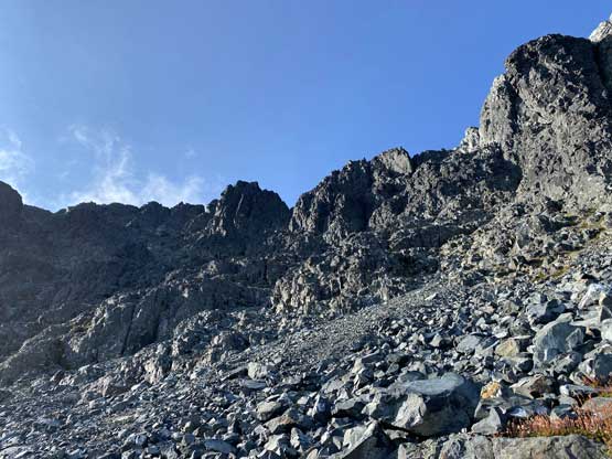
The typical terrain on the upper south face

Scrambling on choss is a key skill in mountaineering
This section of black choss was quite shitty
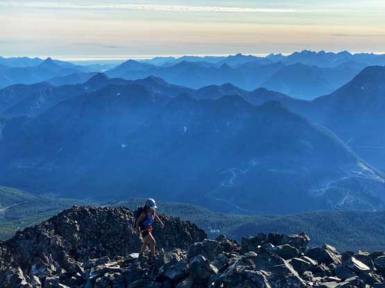
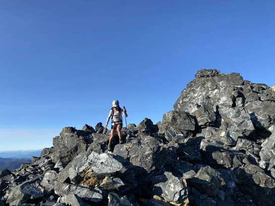
Winnie plodding onto the summit ridge.
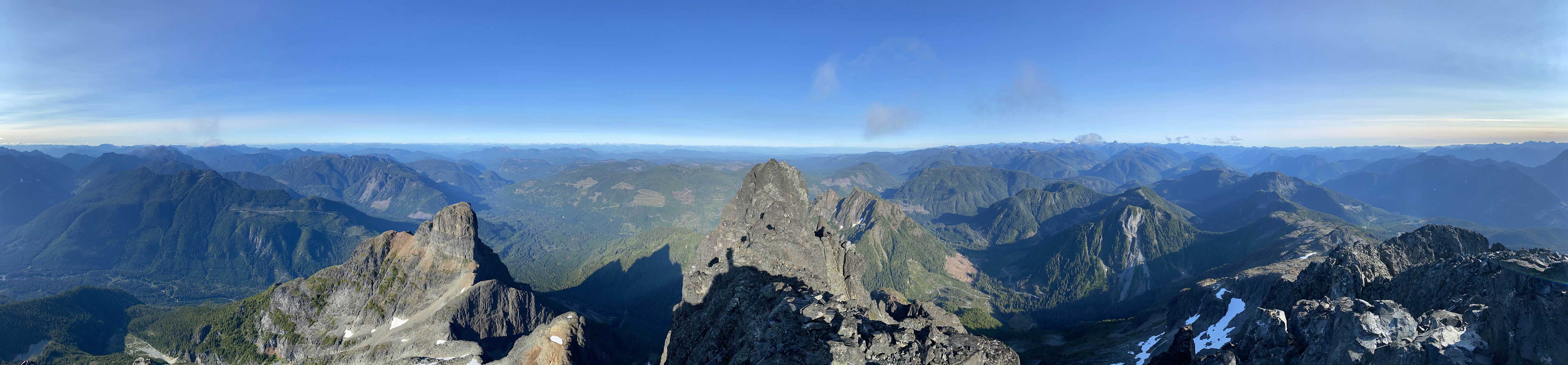
Partial Summit Panorama from Victoria Peak. Click to view large size.
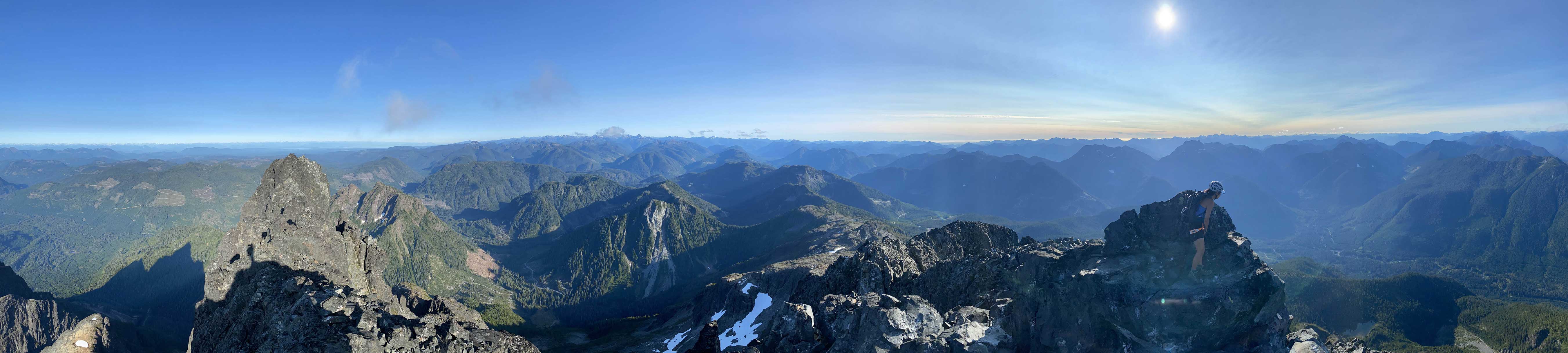
Partial Summit Panorama from Victoria Peak. Click to view large size.
Not sure what Winnie was thinking at that moment. She seemed serious…
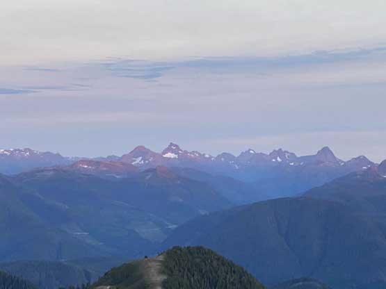
Warden Peak in foreground, another Island Qualifier
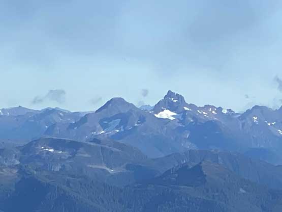
King’s Peak and Elkhorn Mountain
Rugged Mtn. et al. on Haihte Range
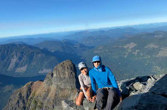
Winnie and I on the summit of Victoria Peak
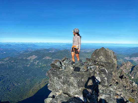
Winnie on the summit of her first peak on Vancouver Island

Me on the summit of Victoria Peak
We were doing OK on time but we also didn’t have a ton of extra time to kill, so after taking the obligatory photos we immediately started the descent. We reversed our route down through the upper face, then did one rappel to get off the technical crux. Down-scrambling the “hidden chimney” was not as bad as I thought. We picked a slightly different line down through that shitty zone below the hidden chimney, then made some quick transitions to handle that snow patch. By the time we scrambled back through that obvious bench around 1750 m we were right in time for the sunset. We hurried up a bit and made back to camp just before it’s too dark to see.
Time to head down
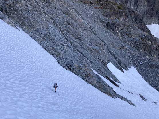
Descending the upper south face
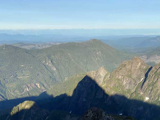
The shadow of Victoria Peak in late afternoon
Rappelling the technical step
Winnie’s pulling the rope
Down-scrambling through the “hidden gully”
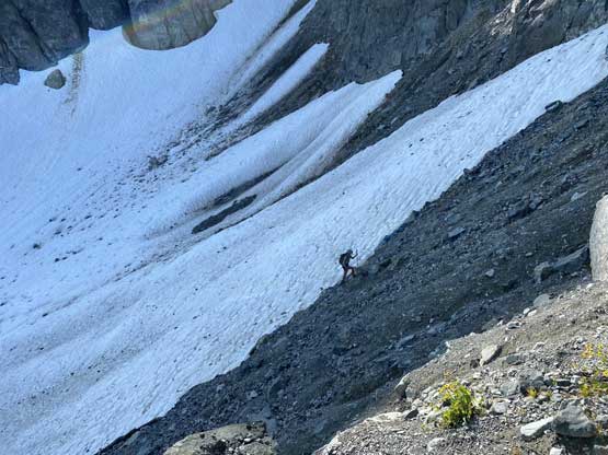
Back onto the lower snowfield
Just another tarn on the route
Winnie re-ascending the upper snowfield

Winnie taking in some evening scenery
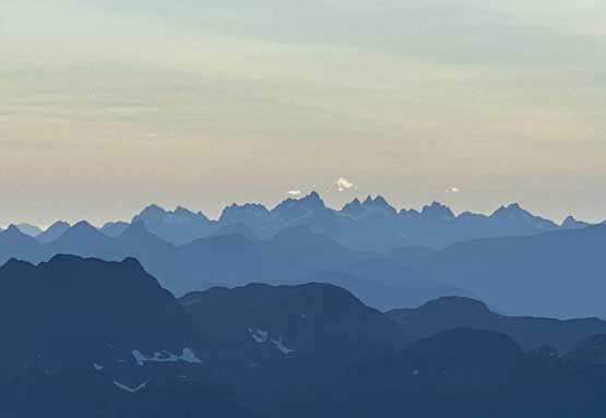
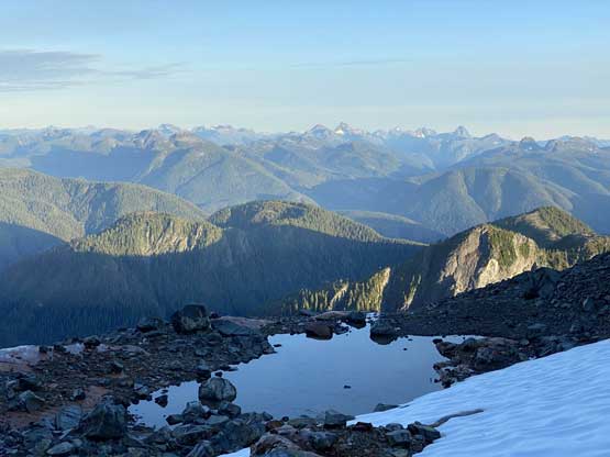
The Strathcona giants to the south
Sunset behind Sutton Peak
Back to our tent without needing to use head-lamps
The night was peaceful. We really took our time in the morning and practiced our strategy of not-rushing-it. We didn’t get going until past 9 am but once starting the descent we made it down quickly. The descent from our camp to the truck took us under 1 hour.
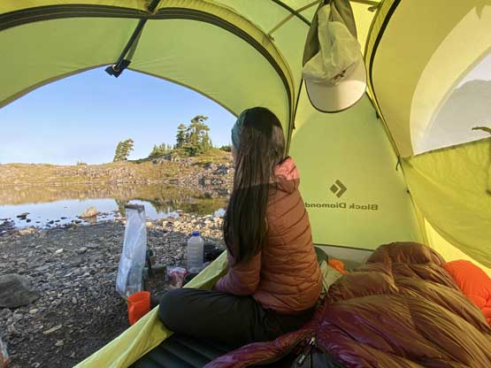
As you can see, we didn’t wake up until quite late…
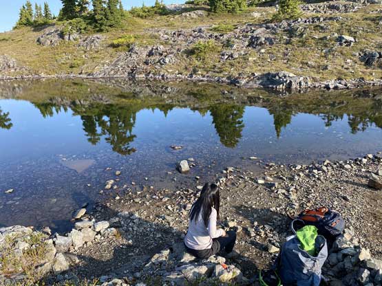
We really took our time packing up the gears
A review shot of the south face of Victoria Peak
One last photo of Sutton Peak
Almost back to the truck..
We again, took our time at the truck eating some luxurious snacks including fruit cups. The few wooden planks still felt sketchy on the descent but the rest of the drive down to the main road was uneventful. We opted to drive northwards to White River Main and out towards Sayward. I was hoping for the cell phone services on the island highway but too bad, there was no service whatsoever near Sayward. That’s not good as we needed to check weather forecast to make plans. We ended up driving 60 km south all the way to Campbell River to finally catch some signals. We opted to just drive to a McDonald for both free wifi and food. The next objective would be Rugged Mountain.
