Barnum Rock
March 20, 2017
2424m
Tucson / Santa Catalina Mountains, AZ
On the far eastern reach of Incinerator Ridge of the Santa Catalina Mountains north-east of the city of Tucson sits a couple impressive rock spires/towers and this area is officially known as Barnum Rock. It is unclear whether or not this name applies to the highest tower in this group and many sources seem to confuse with each other. It’s more likely that this name refers only to the rock formation rather than the peak but what the heck it’s a gorgeous objective in its own anyway. There’s a good trail heading up from San Pedro Vista and much of the hike can be done in under half an hour for most parties. However, the view is very expansive on a clear day.

Barnum Rock and Leopold Point hiking route. GPX DL
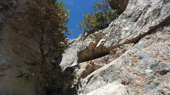
I did it as part of my grand slam along Mt. Lemmon Highway and much of the day is written in Mt. Lemmon’s trip report. Here I’m only focusing on the ascent of Barnum Rock from San Pedro Vista. I did come prepared with the confusion of this name so to claim this “summit” I figured I had to bag as many rock spires as possible. Some of which does not look very scrambler-friendly so I even packed my rock shoes for that purpose. The first spire was a small one, but the most technical among the 4 that I ascended. I did end up using my rock shoes but mostly because I brought them up. There were a set of rappel pitons indicating there indeed does not have an easy route up.

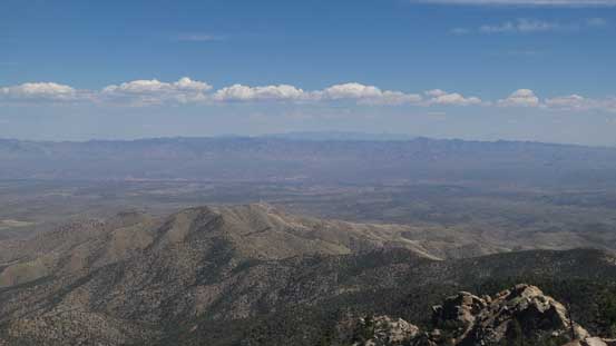
A view from near San Pedro Vista
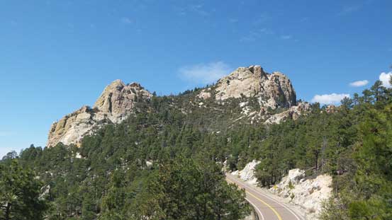
The first view of my objective. True summit on right.
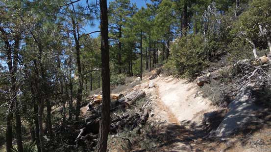
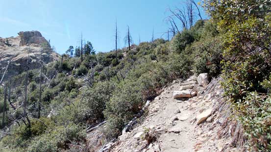
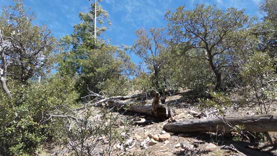
The well-built trail
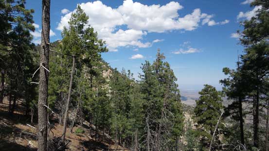
Trees..

A look at the tallest tower.

But first of all I gotta have to ascend this one
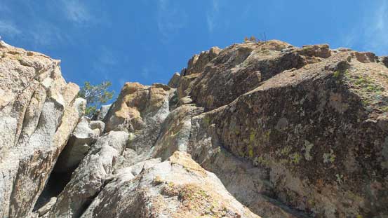
It wasn’t easy…
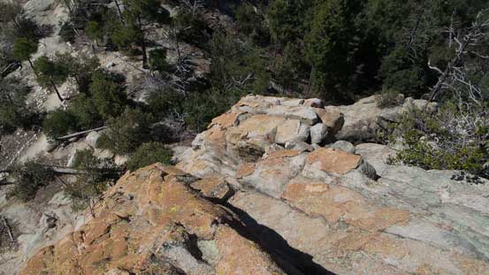
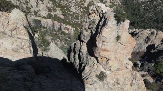
Looking down from the top of this tower
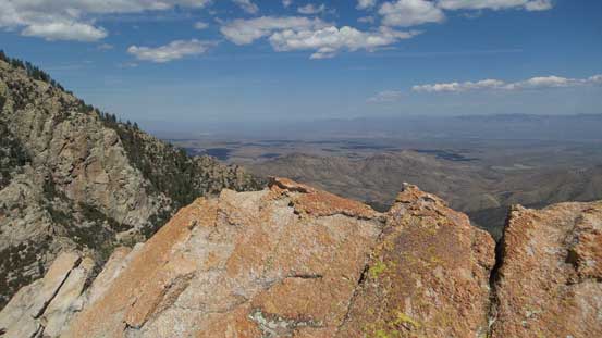
A look into San Pedro River Valley
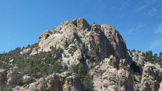
The E. Face of the true summit of Barnum Rock
Leopold Point which will be my next objective
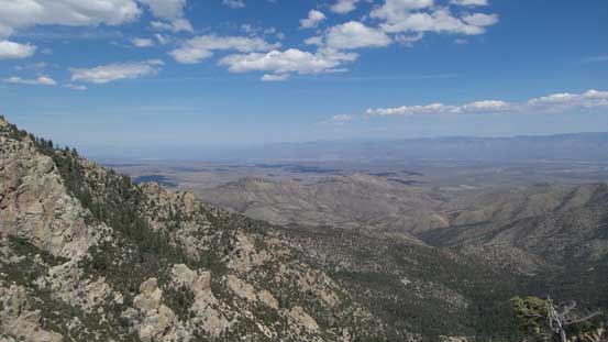
Another view into San Pedro Valley

Rusted rappel rings
Another look from this seldom-attained rock tower.
And then I resumed the ascent westwards onto a large saddle. The true summit is on the right hand side but I’d focus on the peak on my left first. There are two towers upon close inspection and both are class 2+ or low class 3 in my opinion. I ascended both using my sneakers only but the smaller of the two did require a couple careful moves. And then I got to focus on the true summit which appeared to be the easiest.
Hiking up the trail towards the next tower
A short 3rd class step to gain the next tower
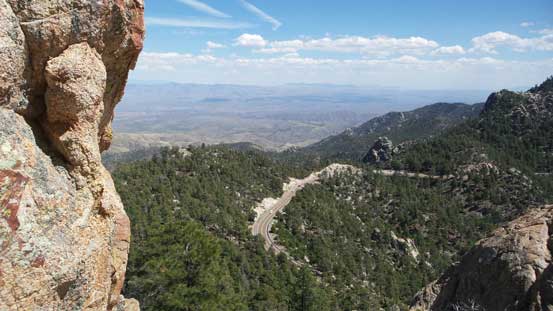
Note the highway below
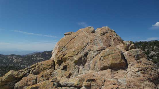
The top of the tower.

A view into the other Santa Catalina peaks
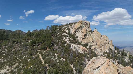
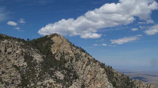
The true summit ahead
Coming down from this tower. Fun slabs.
Indeed, the hike to the true summit is nothing fancier than a “hike”, although the last part is off the official trail. I did stay on the path with the least resistance so there’s not really much of bush to note.
A short off-trail bash towards the true summit
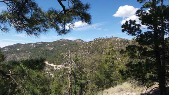
The rest of the Incinerator Ridge
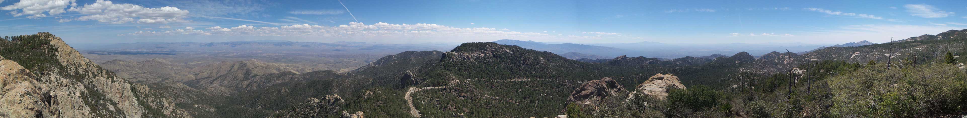
Summit Panorama from Barnum Rock. Click to view large size.
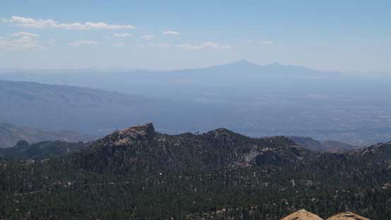
Mt. Wrightson on the horizon
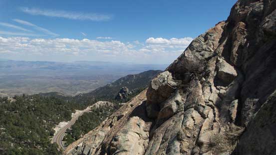
Looking down the steep east face. There’re some rock routes here.
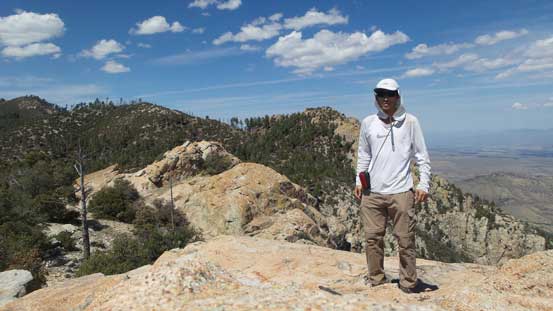
Me on the summit of Barnum Rock
After admiring the views I had to focus on my next objective along this ridge – Leopold Point.
