Mount Hoy
August 12, 2026
1419m
Vancouver Island, BC
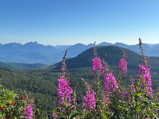
Mt. Hoy boasts over 1000 m prominence on northern Vancouver Island not far from Port McNeill but itself is not a lofty summit. The summit is rounded and offers no mountaineering interest, but at least there are plenty of meadows up there on the plateau so the views are nice on a clear day. I didn’t have much to expect out of this outing because I knew this is a rather lame “prominent objective”. Friends had been up there and it’s not much more than a drive-up. Well, after putting in more thoughts I realized that it’s not actually a “drive-up” unless one has a high end 4×4 vehicle and doesn’t mind to trash the painting job. Even so the hike would take about 1 hour round trip. Rob W. did it recently with Tareef and Logan and Tareef did drive them to the absolute road’s end.
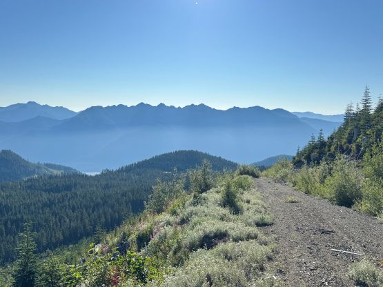
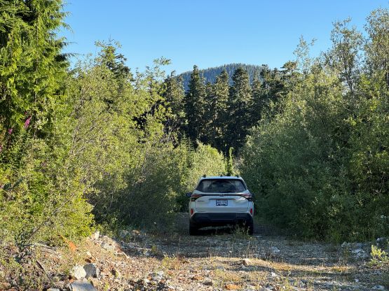
I was with Rob but had a few hours of spare in the afternoon after finishing Mt. Cain earlier in the day. There’s no obvious common objective between the two of us that could be done in this time frame so I opted to solo Mt. Hoy. Rob would direct me to the “trail-head” but would wait for me in the vehicle. I only had a Subaru so there’s no way I could push all the way to the end, but Rob assured that the added walking distance would be manageable. The access is from the west and the roads are well marked on the Gaia maps, and in fact there are even public driving tracks on the layers. I turned around and parked right under the final switchback and I would have about 2 km of added distance each way. This was definitely acceptable and I did think I picked the right spot to park. Getting to this spot wasn’t trivial neither (not 2WD) but wouldn’t impose any problem to an averaged AWD SUV for a skilled driver.
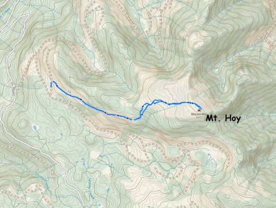
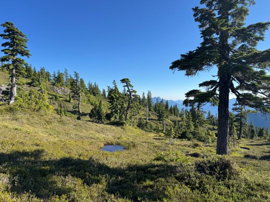
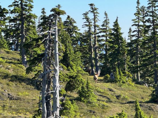
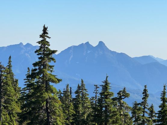
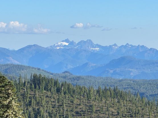
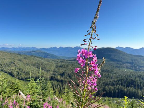
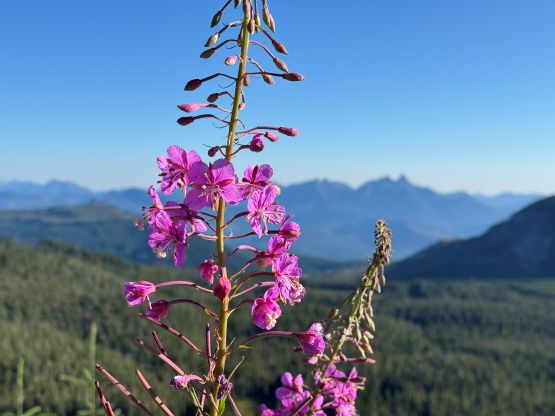
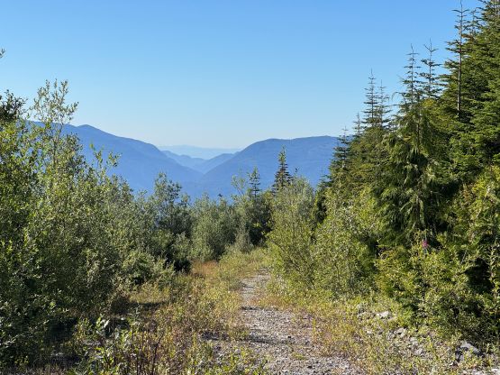
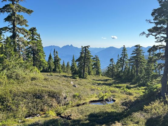
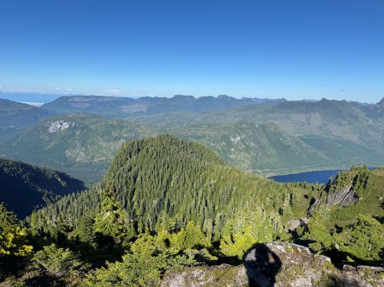
I had some concerns about bear safety as I don’t actually own a bear spray these days, and that’s actually why I seldom go solo anymore. However, in situation like this I just had to take some risks to get more peaks done. The 2 km plodding to the road’s end was actually quite scenic and I got to see some peaks that I don’t often observe up close. From the road’s end I picked up the ribbons and the unofficial path and that led me through the minor cut-block into the forest. I quickly lost the trail unfortunately but that didn’t matter much, as about 10 minutes of bushwhacking later I was in the meadows zone. This was a classic bear country so I kept my heads up most of the time, and sure enough around a corner I saw two giant dudes. One of them was a bull elk about the size of an adult moose and he was staring at me. I had to make a large detour around the creature and thankfully they left me alone. The rest of the ascent was uneventful but the slope was quite foreshortened. It took me longer than I thought to reach the summit but on the other hand, the view was also more expansive than expected.
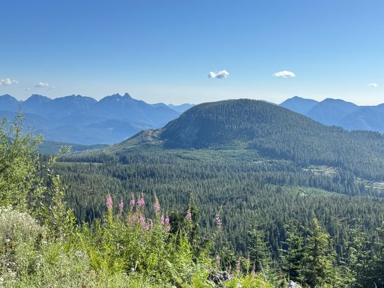
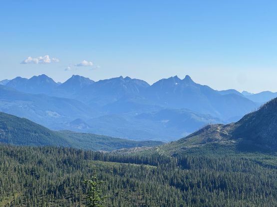
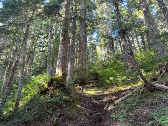
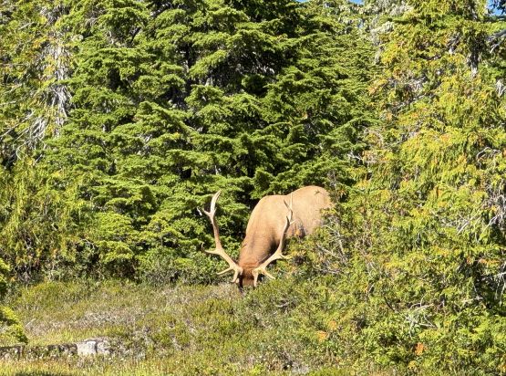
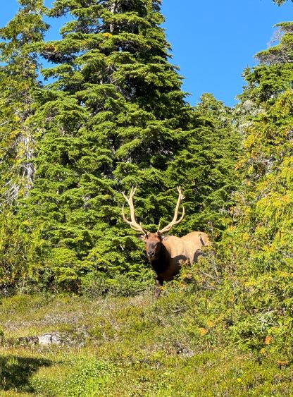
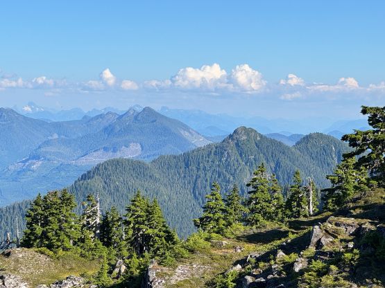
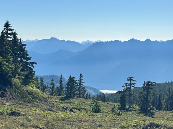
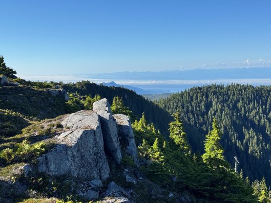
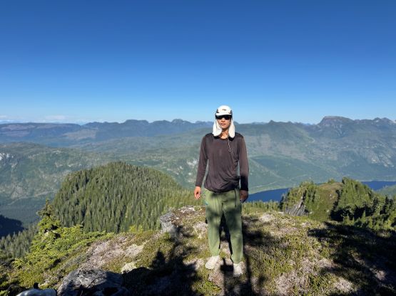
I didn’t linger up there for too long since there were still some mosquitoes (not quite common by mid-August). I mostly descended by holding and staring at the phone’s GPS screen since the meadows were quite disorienting. I retraced the detouring section around the elks but then I saw them bolting down south. They had already left my path anyway. Lower down I didn’t bother to find the path and just did some light to moderate thrashing back to the road, and my round trip time was under 2 hours. Wasting no time we immediately left the area. There was some sporadic reception in Woss so we did the last minute research, and then went for camping at Sutton Peak‘s trail-head.