Iron Mountain
March 10, 2021
369m
Mission / Stave River, BC
Iron Mountain is one of those officially-named hills in the lowlands of Fraser Valley. It’s right next to Ruskin Dam on Stave River about halfway between Maple Ridge and Mission and the access can be either from Lougheed Highway or Dewdney Trunk Road. I hadn’t done thorough research but the map sources suggested two possible ways to tag the summit. I eventually opted to turn this into a loop adventure, by hiking up the “south lookout” trail, route-finding and bushwhacking to the true summit then walking down the communication tower road. Kat and I were looking to do some hiking but I needed to be back home at 3 pm for work and Kat could not leave White Rock until 9 am in the morning. The weather forecast was also not the greatest. Iron Mountain was one of those dumpster-ish objectives that I hadn’t done in Fraser Valley, so the pick was easy.

Iron Mountain loop hike. GPX DL
We left White Rock at around 9 am and simply followed the direction given by Google cruising towards Maple Ridge. I wasn’t quite sure where’s the exact start of the trail. It turned out that the “road” shown on Gaia map was private and gated so we had to park lower than anticipated. The trail system heading to the lookout on the south ridge of Iron Mountain was apparently more used by mountain bikers. There were quite a few junctions and we just picked the most obvious path. The lookout indeed offered some views but it’s not nearly as spectacular as I was hoping for. We nonetheless took some photos but moved on soon after.
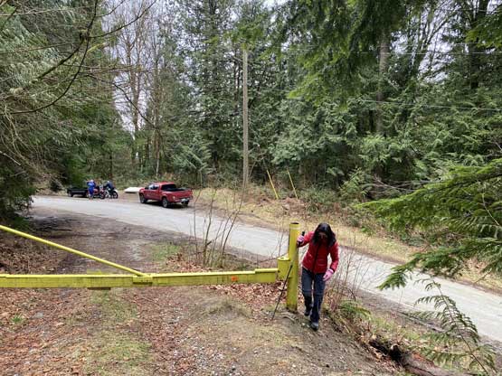
As you can see, the spur roads were all gated on this mountain
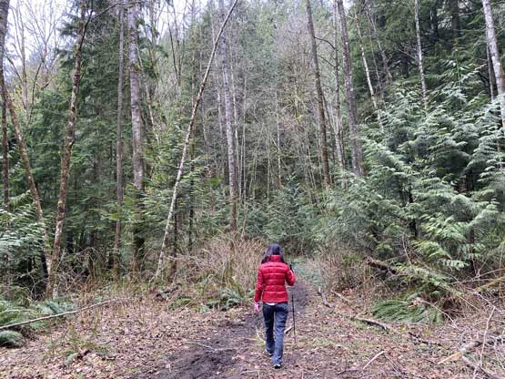
Kat hiking the start of the trail

As typical as the hiking in the forest.
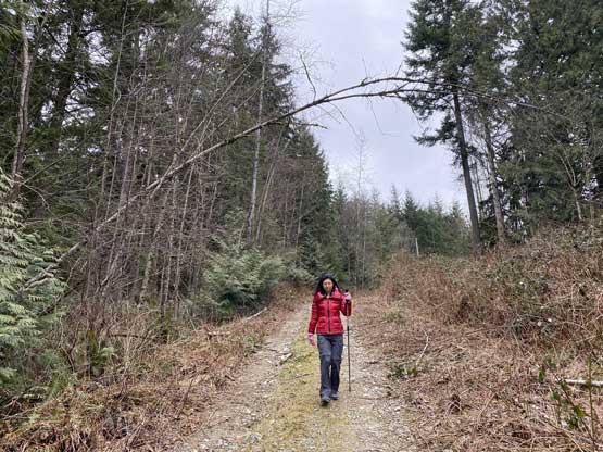
I have to admit this hike was pretty boring at times
Kat descending to the “south ridge lookout”
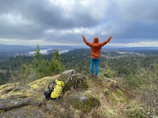
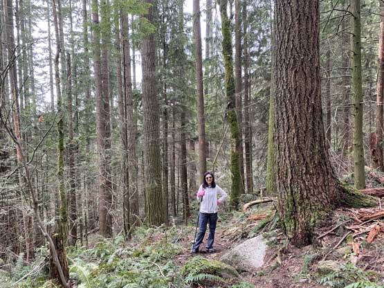
Me doing my thing at Iron Mountain’s south ridge
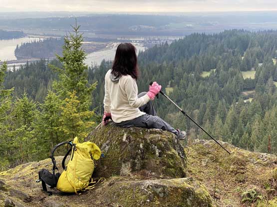
Kat posing for some photos at the same lookout
The section beyond the lookout still had some trails but they were getting fainter. At some point we kept losing the trail. Bushwhacking seemed unavoidable and there were fair amount of undulating micro-terrain and up-and-downs. We tried pretty hard to stay on the trail but eventually gave up and just bushwhacked to the highest point where a communication tower was located. There was no view from the true summit which was as expected.

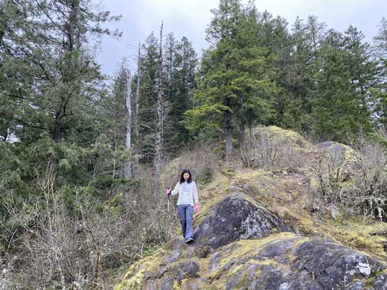
Walking around some bluffs that obviously are used for bouldering
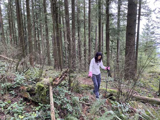
Off-trail travel was unavoidable on the upper ridge

There were considerable amount of up-and-downs and micro-terrain
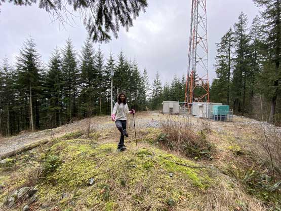
Kat finally stepped on the cairn at the summit of Iron Mountain
We talked about the options to descend and decided on the longer, but easier option. Walking down the road would be no-brainer and although longer, might be just as quick. The road-walking was indeed longer than I thought but offered some variety. Near the end we had to walk through a Gulf course.
The boring walk down the communication tower road

These dogs were not very friendly

Bison with Iron Mountain’s south ridge behind

We had to walk an additional 2 km through a gulf course to get back
