Dunkeld Peak
September 14, 2016
1641m
Squamish / Mamquam Main FSR, BC
“Dunkeld Peak” is an unofficial name of an insignificant summit immediately to the west of Meslilloet Mountain. The peak barely pokes above the treeline but it does have an impressive north face. It isn’t often ascended though and the only beta I could find on the Internet was Simon’s trip report on ClubTread. He approached it from the west side via Dunkeld Spur and to get it started a near-30 km driving on the rough Mamquam Main FSR was required. I figured since I’d be there anyway why not combining Dunkeld Peak with Meslilloet Mountain to make a single 2-day trip… The approach and return are all written in my Meslilloet Mountain’s trip report.
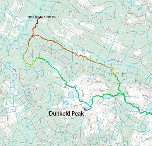
Dunkeld Peak ascent route. GPX DL
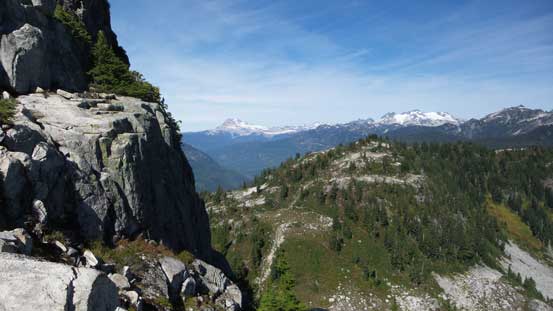
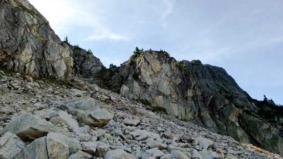
From the broad pass immediately underneath the N. Face of Dunkeld Peak I ditched all the unnecessary gears beside a big boulder. Carrying only food and water I made my way up an obvious ramp feature way towards climber’s left side. The left skyline ridge would offer an easier, albeit longer and more contrived route up this peak. I didn’t want to waste too much time here so once the terrain made sense I turned right and ascended straight up the steep slopes. The ground was loose at sections but only went at “Class 2”.
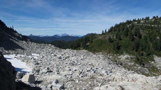
A view from where I ditched gears. This is that boulder field I just crossed

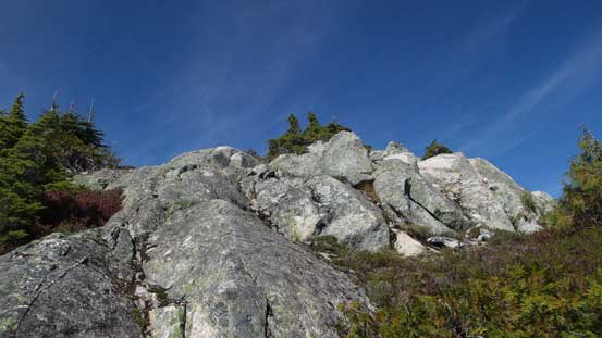
I picked a line up through this gap. Easy going..
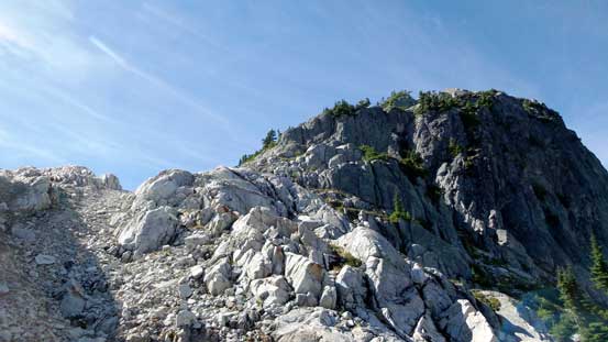
Almost onto the summit ridge now.
Once hitting the summit ridge I turned right and started to encounter short scrambling steps here and there. Some minor route-finding was also required and I had to say that it was fairly enjoyable. In short time I made to the summit and the true apex was actually on a big chunk of granite and required a few scrambling moves to get up.
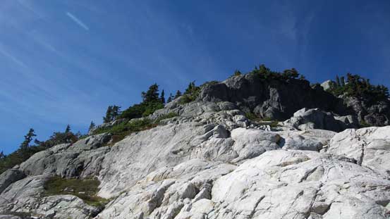
The start of the summit ridge
Looking across the steep N. Face
Almost there!

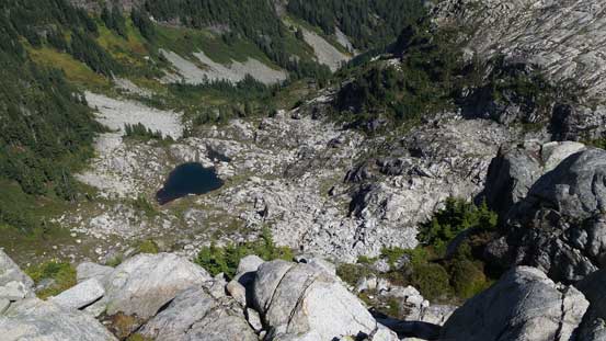
Passing a mini tarn

The true summit granite which required a few moves to get up.

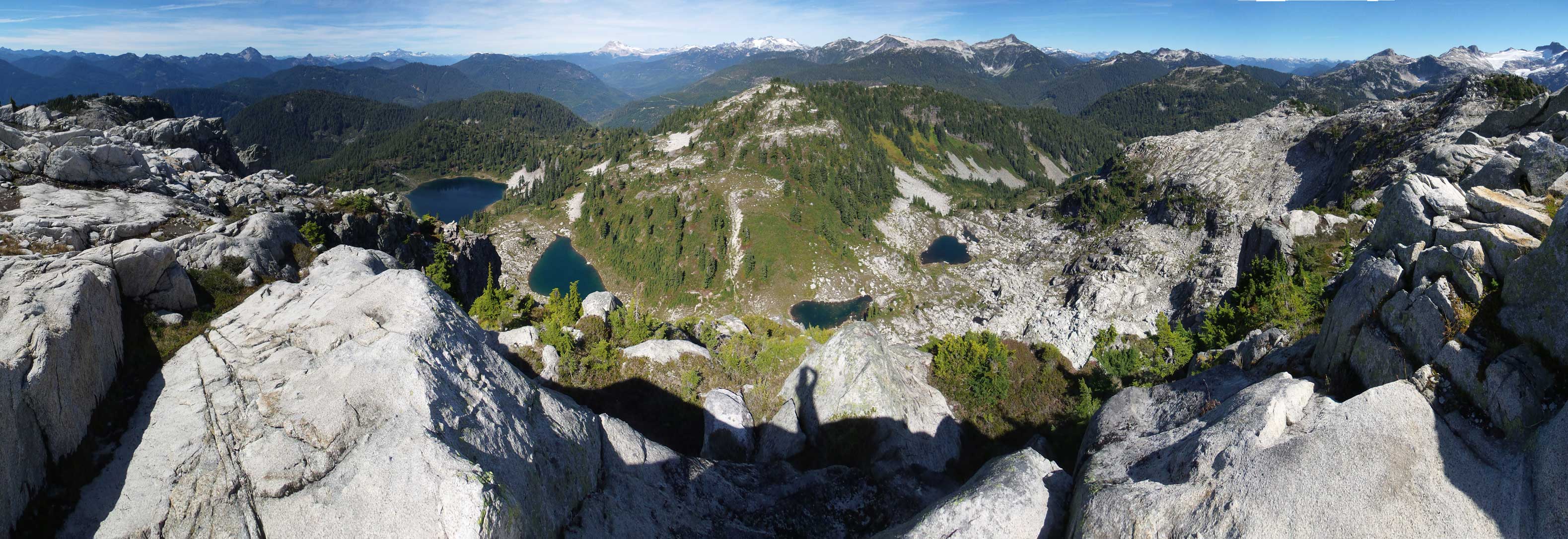
Summit Panorama from Dunkeld Peak. Click to view large size.
Looking steeply down the North Face

Looking towards Indian Arm and the familiar North Shore Mountains

Mt. Garibaldi massif

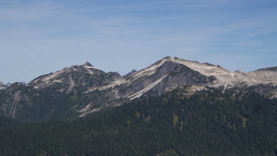
Mamquam Mountain from the south side
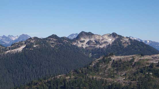
The unofficially named Pinecone Peak and Seed Peak

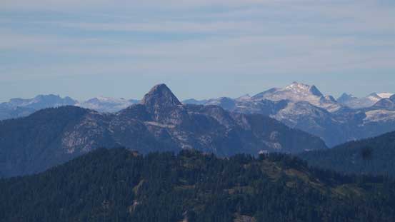
Mt. Gillespie
Another unofficial summit nearby – Pollen Peak
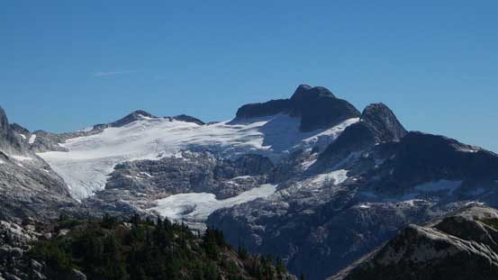
A zoomed-in view of the glacier and Meslilloet Mountain
Sky Pilot Mountain with the pointy Mt. Sheer to its left
The striking Mt. Habrich with Mt. Sedgwick in the background on right skyline

The majestic Mt. Tantalus
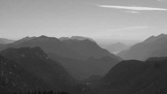
Looking towards a bunch of peaks east of Indian Arm – Dilly Dally Peak et al.

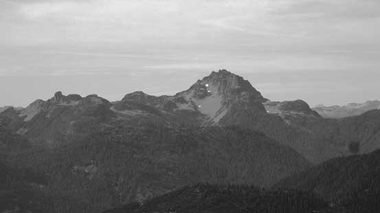
Another look at Meslilloet Mountain

Two of the many lakes nearby
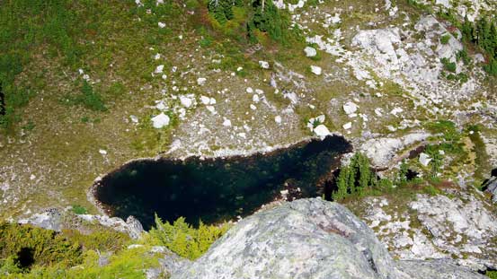
Another lake. I traversed right beside it.
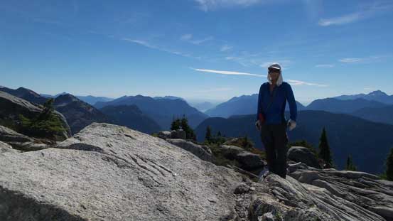
Me on the summit of Dunkeld Peak
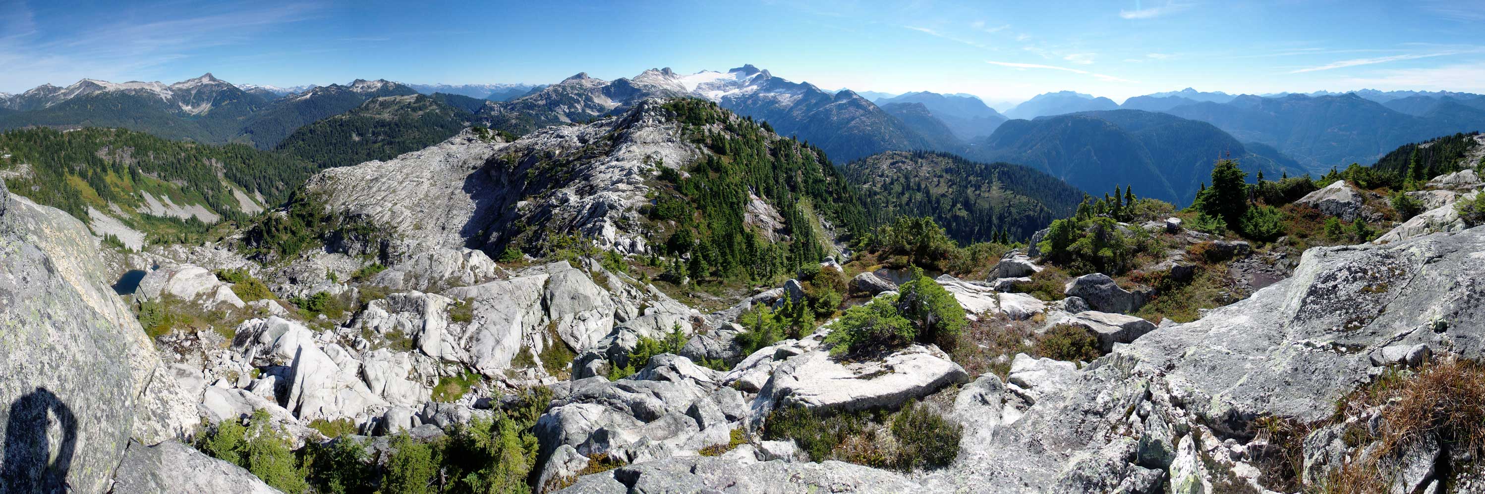
Partial Panorama from the summit of Dunkeld Peak. Click to view large size.
Another panorama from Dunkeld Peak. Click to view large size.
The views were pretty kick-ass towards all directions but knowing I still had a lot of work to do on this day I had to keep moving. I thought about tagging the lower east summit too but decided against once making down to the col (mainly because of the time concern). Then down the loose north slopes it didn’t take me long to arrive back at the boulder fields. I spent some time repacking and then it’s time to move on towards my primary objective.
Time to go down…

Back to where I ditched gears. Time to move on.
Overall this was a great little diversion from my main objective and I was very glad to have come up this way. From the map I couldn’t expect too much but the scrambling was enjoyable, the views were great and the area to the west of Dunkeld Peak offered some nice exploration with many lakes. I even managed to find a well-flagged trail which wasn’t marked on any map or sources. A big thank to whoever made it and I’m curious where it origins from…
