Mount McInnes
August 25, 2021
1690m
Merritt, BC
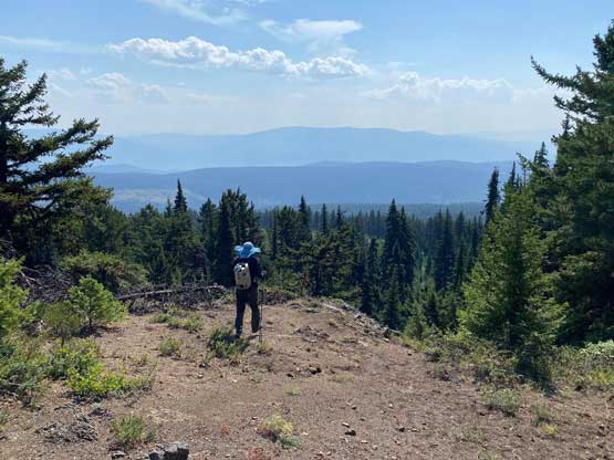
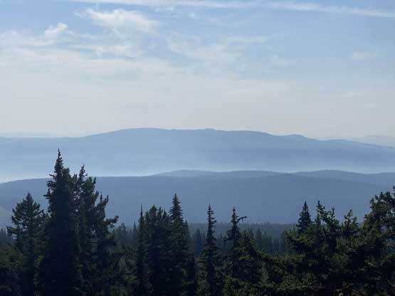
Mt. McInnes is the highest point of a large wooded area immediately to the SW of Merritt. The main reason this peak has caught some peak-baggers’ attention is the prominence but elsewise this peak definitely falls into that category of “dumpster diving”. The summit is completely forested with no view. Logging and ranch roads had been pushed to within 200 vertical meters from the summit. With a high clearance vehicle one can drive to the end of the road and from there the summit is a short ascent in mostly open forest and cut-blocks.
Christine and I wanted to do something easy and short on Wednesday since I just did a peak on Tuesday, and she needed to be back home no later than 5 pm. The original plan was Mt. Thynne but once there we realized the forests were still burning and every single exit from Coquihalla Pass to Merritt had been blocked. We were forced to drive into Merritt to try our luck on Mt. McInnes’ access roads. Thankfully we did not encounter any closure sign. The drive into that Midday Valley Road was smoother than expected and the condition of the road did not deteriorate until the last 2-3 km where we encountered some water bars that definitely required high clearance.
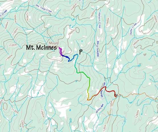
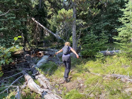
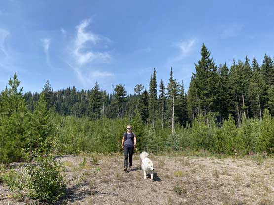
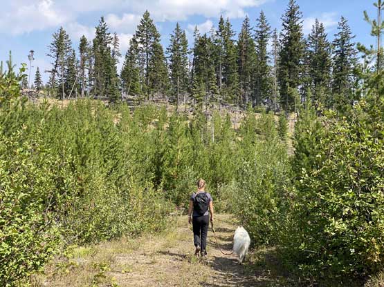
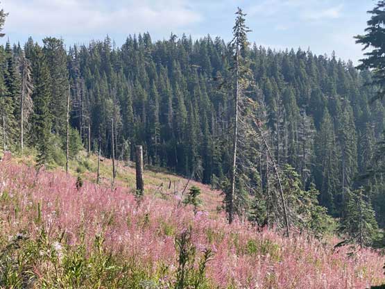
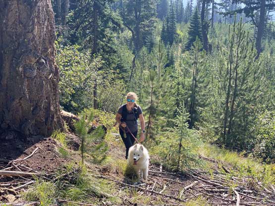
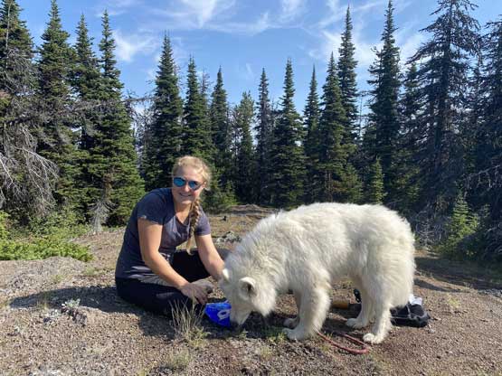
We parked at exactly 1500 m elevation and started the ascent by walking on an old spur road that seemed too overgrown to drive on. From the end of this spur road we dived into the cut-block and simply just picked our own path aiming at the summit area. We encountered short stretches of moderate bushwhacking (dead-falls and young trees) but overall the travel was pretty fluent. There’s one steep section of choss to get onto the broad south ridge, and the true summit was hidden behind a few false bumps as well as one metal wire fence. Christine’s dog, Makwa was having some trouble on this day but after much struggling he did manage to make the summit as well. The dog was not listening to any order so we agreed to put him on leash for the rest of this trip.


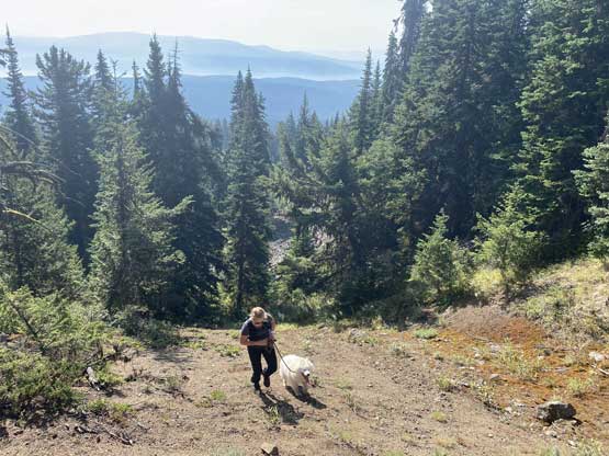


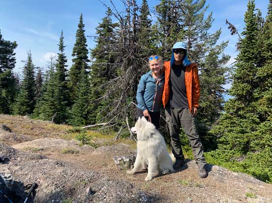
We did a long stay on this otherwise, boring summit because we had time to kill. The descent was uneventful as I mostly led us down using the exact same route we took on the ascent. We then drove down into Merritt and found a neat local restaurant. I thought we might can do another peak but we weren’t doing particularly good on time, so reluctantly decided to go home. For once the traffic was quite tolerable on a weekday’s rush hour.