Blue Mountain (Maple Ridge)
September 27, 2021
892m
Maple Ridge, BC
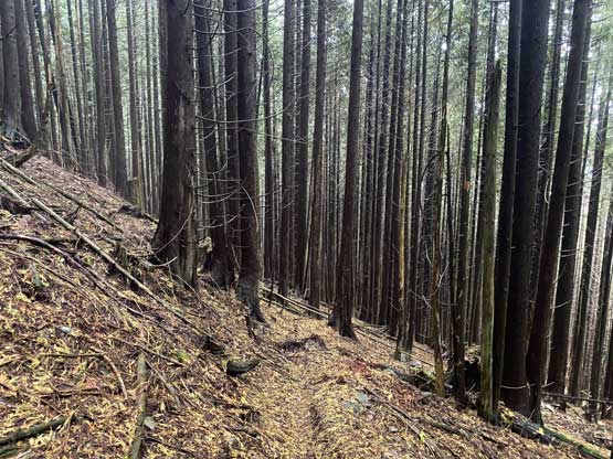
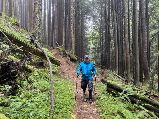
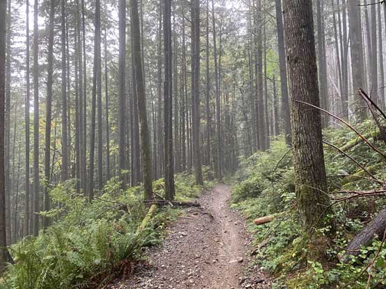
Blue Mountain is one of those low-prominence and forested pimples in the vicinity of the Fraser Valley such that the only reason for a peak-bagger to ever contemplate an ascent is because of the official status of the peak’s name. This entire area is riddled with mountain biking trails and old logging roads such that one can hike to pretty much the very summit without having to bushwhack, but the view from anywhere along this hike is next to non-existing. I had on-purposely saved this summit for a bad weather day when I still wanted to get out, and this happened to be exactly the case on this Monday when Brandon Boulier messaged me at the very last minute if I wanted to hike something in the rain. Brandon had driven all the way from Calgary to bag peaks. The weather forecast was calling for consistent rain for over 20 mm over the day but I gambled that it wasn’t going to be pouring cats and dogs the whole time.
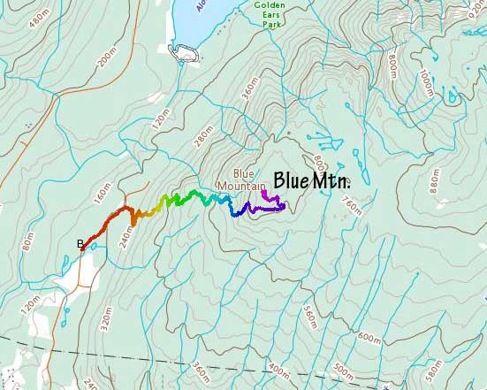
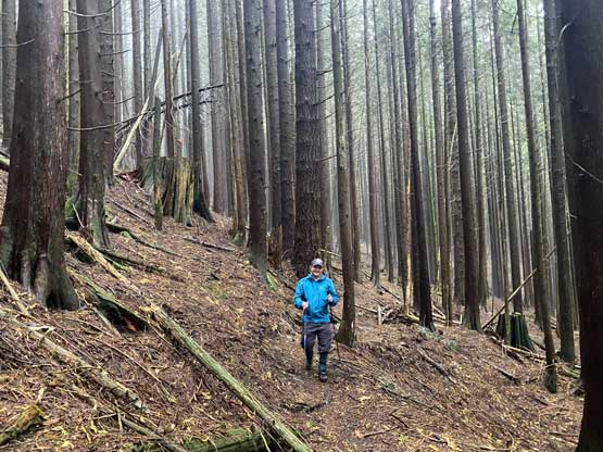
After a leisure morning routine Brandon and I met at the trail-head gate at 9 am. The rain was extremely heavy when I drove through the city of Maple Ridge but it wasn’t actually that bad when we parked our Tacomas, so we quickly geared up. The initial plan was to park at the bottom of the “west side trail system” but the unforeseen gate forced us to add 1 km of road-walking at the start. That wasn’t a big deal. The last time I’ve done a trip with Brandon was a multi-pitch climb of “Rundlehorn” in 2015 so we had a lot to catch up. The actual ascent was done by linking up a maze of mountain biking trails with the old logging roads on the upper reaches. There was some zig-zags and some undulating terrain but the route was reasonably easy to follow and the entire trail system was well-marked on my Gaia map. With the map pre-downloaded the navigation was very easy thank to the current GPS technology even though none of us had done any research about this west side approach. Near the summit we popped onto a deactivated logging road. I thought about to bushwhack straight towards the summit but we together decided to follow the road/trail. This stretch of the road had some up-and-downs and linked us to another trail that came up from the south-east. The true summit was about 2 minutes of walking off the trail and completely forested. There’s one small opening slightly to the west of the summit so we went there to take our break but thank to the awful weather we did not get to see anything.


After some obligatory victory shots we descended under the “lookout” to join the old logging road making a small loop on the summit area. We then retraced the exact route we took to descend. I had to check GPS multiple times to make sure we took the correct turns as there were literally a maze of trails and most of them weren’t signed. Our round trip time was 3 hours 40 minutes on a leisure pace. The rain had mostly held off during our entire hike or maybe it was just because of the thick canopy. I was actually not drenched. After the hike we drove to a Diary Queen in Maple Ridge for some burgers and milk shakes and I eventually got back home with one hour of spare before work.