Big Pine Mountain and Little Pine Mountain
May 8, 2022
42m / 35m
Pitt Meadows, BC
Big Pine and Little Pine Mountains are two of the four officially-named pimples in the vicinity of Pitt Meadows. The other two are Sheridan Hill and Snake Rock that I ascended in April 2021. None of the four is as “easy” as the elevation suggests. While the other two require some serious trespassing these two “Pine”s are notorious for bushwhacking. These two peaks are almost completely surrounded by marshlands except for on the SW side where a strip of forest leads to Runnie Road. This strip of forest is the only viable route as the bushwhack through the blackberry bushes in the marshlands would be next to impossible.
I had been thinking about these two peaks for a while but they would never be on the priority list. The only allure of these two peaks is the lack of information and the fact Little Pine Mountain would be the lowest officially-named pimple in BC’s mainland. Ashkan had posted a very brief trip report on Strava for Big Pine Mountain two years ago and that’s about it. Nobody I knew had done Little Pine Mountain nor was there any “beta” on the internet. I eventually pulled the spontaneous trigger on a Sunday with so-so weather forecast. My afternoon’s work got cancelled at the last minute so all the sudden I had 5 hours without anything to do. I quickly went through my brain’s database and within 10 minutes I was already driving towards Pitt Meadows. The drive from White Rock to Runnie Road took about 40 minutes and I parked at one of the few pull-outs on the SW side of my objectives.
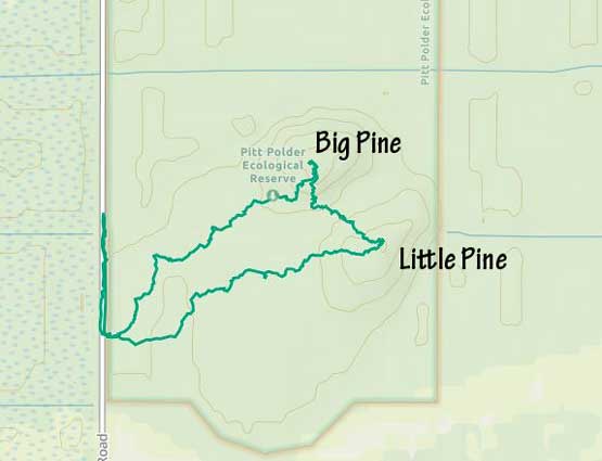
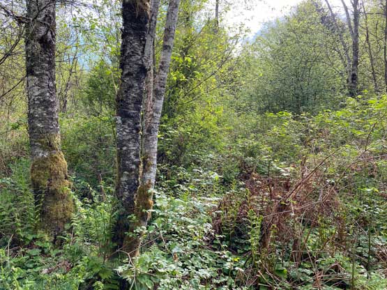
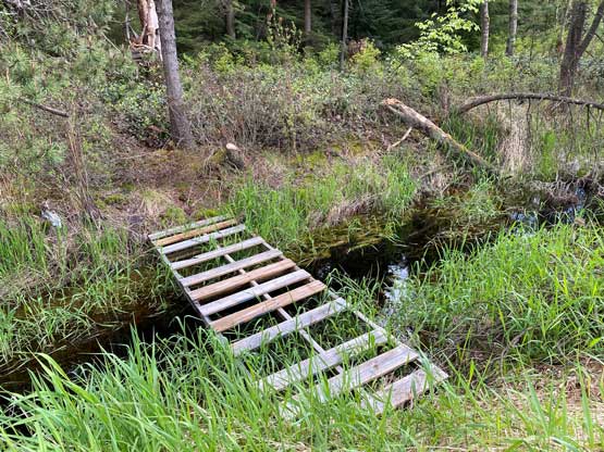
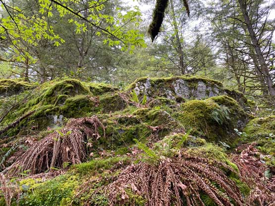
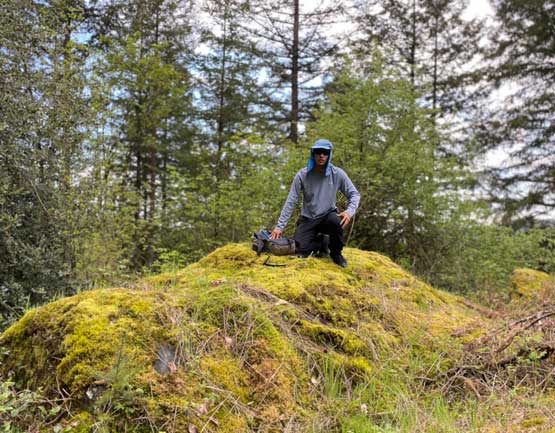
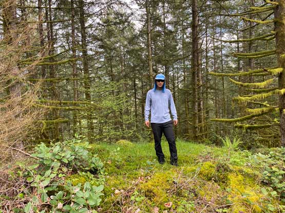
Right off the bat I noticed a big problem as the forest and the road was separated by a strip of ditch full of murky water. I did not bring sandals to wade the ditch and jumping across was not possible. I tried hard to walk up and down the road to find a log but to no avail. I was already prepared to just suck it up and wade across in boots but about 300 m south of where I parked I found a nicely-placed foot bridge. I thought there might actually be a trail but the bush on the other side was obscuring it so I started the thrash right away. I kept the bearing directly towards Big Pine Mountain but the micro-terrain kept forcing me to go other directions so the GPS track was a bit more meandering than absolutely needed. I had to consult with GPS at least 20 times to make sure I wasn’t doing circles. The bushwhacking was overall easier than expected with only a few bands of “BW3” and not many thorny stuffs. The scrambling up towards the peak was a bit tricky at places requiring route-finding. I also had to deal with a few 3rd class steps but those might can be bypassed if I really wanted to. The summit itself actually offered a bit of views towards Widgeon Peak surprisingly.


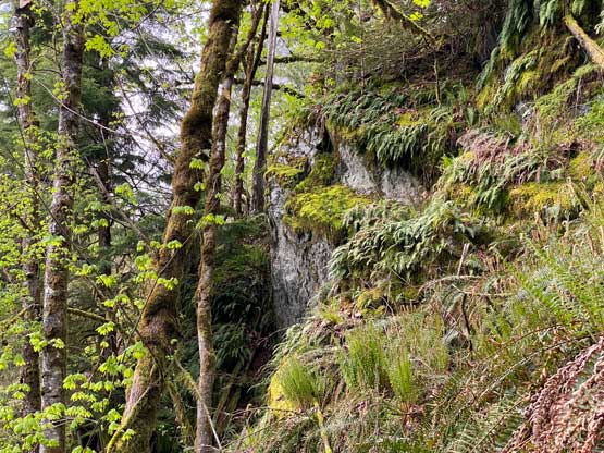


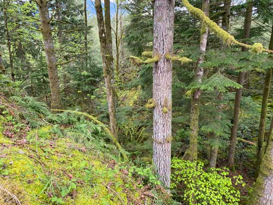
It was tempting to just thrash homewards as these peaks are just not exciting at all, but Little Pine Mountain is officially-named so bagging it was obligated. I forced myself to aim south-eastwards descending straight down towards Little Pine/Big Pine saddle and this descent was quite tricky at places. I encountered a series of steep bluffs but thankfully managed to find a scramble route through each of those. The ascent of Little Pine Mountain from the saddle was much simpler than Big Pine and I made the second summit in no time. There were two summit contenders so I made sure to tag both to safely claim this peak. The view from this pimple is 100% non-existing.


Instead of reversing my route I decided to aim straight towards the foot bridge in order to minimize the bushwhacking distance. The going was mostly tolerable except for one zone in the middle where I encountered thick thorny plants. I had to actually backtrack to find a way around as my legs were getting scratched pretty badly even with long pants. Walking slightly northwards I still had to content with thick bushes but not that many thorny plants anymore. About 200 m from the road I crossed path with a decently-defined trail and that trail led me directly back to the foot bridge, so that was a pleasant surprise. My round trip time was just over 1.5 hours. I quickly drove home afterwards, had dinner in a local restaurant and then went straight for my evening work and eventually finished the day at 10:30 pm.