Mount Aberhart
November 24, 2013
2555m
Jasper – Skyline Trail, AB
After a long slog up Sunset Peak, Ben and I immediately focused on our second objective of this day, namely Mount Aberhart. Like its lower neighbour, this is another unofficially named summit in Maligne Range. Among the people I know, only those who are very familiar with skiing in Jasper know the “existence” of this peak. I came across the name of “Mount Aberhart” while skimming through Chic Scott’s Summits and Icefields book, and it turned out that’s the only reference I could find.
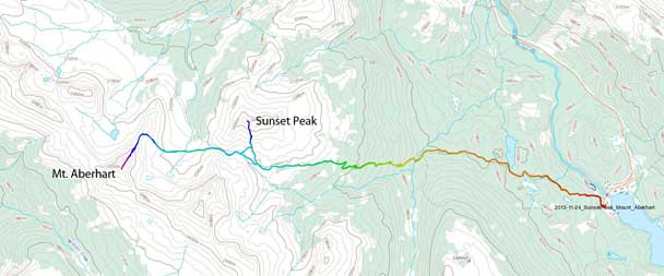
Sunset Peak and Mt. Aberhart snowshoe ascent route. GPX DL
While ascending Sunset Peak, we’d already studied the few possible lines up Mt. Aberhart. Judging by the instability in the snowpack that we observed earlier, we decided not to use the standard route. The standard route involves going up Connector Pass (part of the “Thirteen-Pass traverse”), and that pass looks steep and loaded. Here came the advantage of snowshoeing that we’d be very flexible while selecting terrain. We decided to pick a line that avoids open slope for as much as we could and that’s following the right hand side ridgeline up.
Up and over Little Shovel Pass, we would soon face the most tedious part in this trip. The snow became deep and unsupportive and the progress went slow. There was also quite a few up-and-downs and the views were foreshortened. But having a good attitude, we eventually made through this part of crap. Hitting a broad wind-blown scree band, it’s time to ditch snowshoes. We were still hundreds of vertical meters below the top and we’d boot-pack the rest.
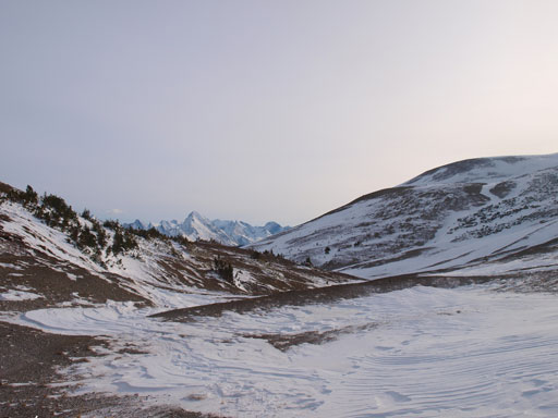
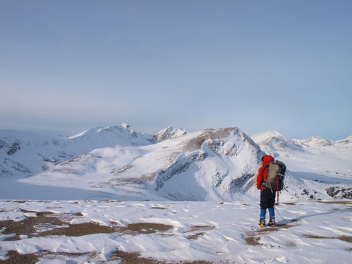
Looking back from Little Shovel Pass
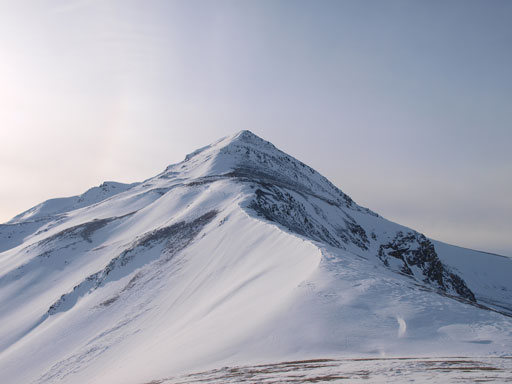
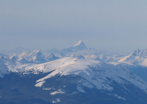
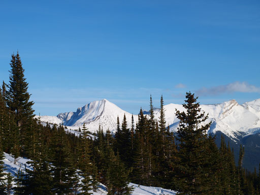
Mount Aberhart seen from Little Shovel Pass.

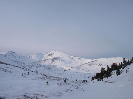
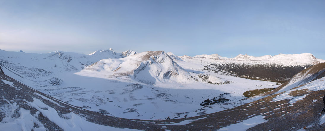
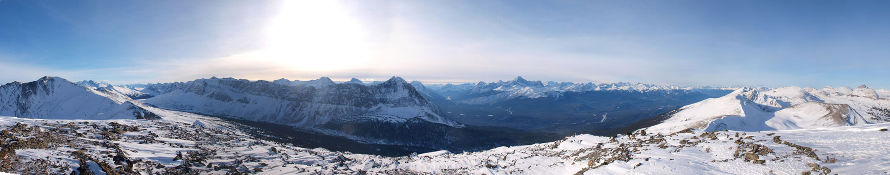
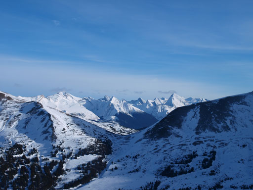
Panorama from this alpine bowl. Little Shovel Pass on far right.
Following this scree band we soon joined the ascending ridge. There were two steep rolls ahead that could offer some challenges but we decided to press on and see what we could do when getting closer. Both rolls turned out to be straightforward. The first steep section had some boulders covered by snow so caution was required. We discovered a rock “bergschrund” there. The second roll was much narrower and we had to ascend the steep snow on the ridge crest. The layer of clouds had dissipated already, and the views from the summit were definitely mind-blowing, with the head-on view of the E. Ridge of Edith Cavell standing out particularly.
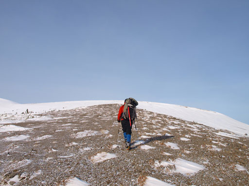
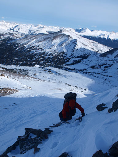
Hiking up the broad scree band
And then, we would follow this ridgeline up
Ben soaking in the views
Panorama of the north side bowl

Panorama of the East side.
Scrambling up a short rock band
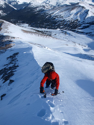
Ascending the snow ridge

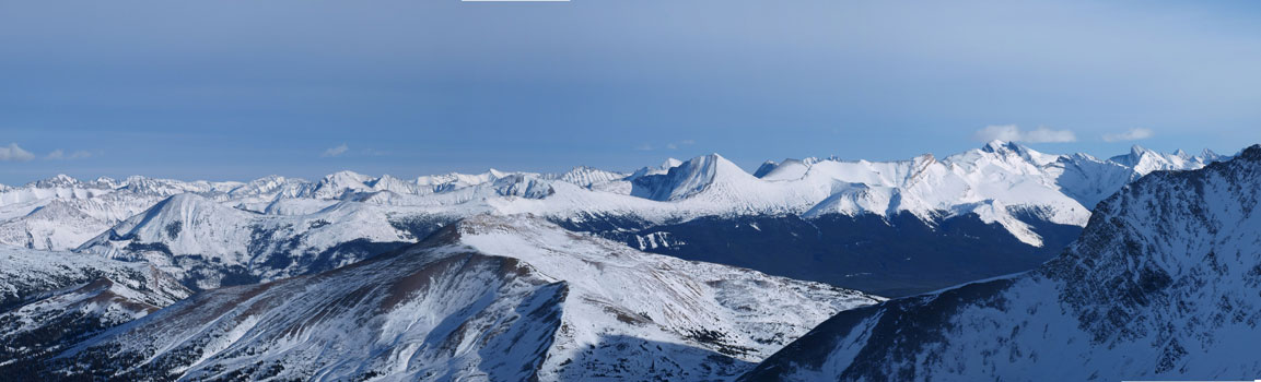
Summit Panorama looking East
Summit Panorama looking West

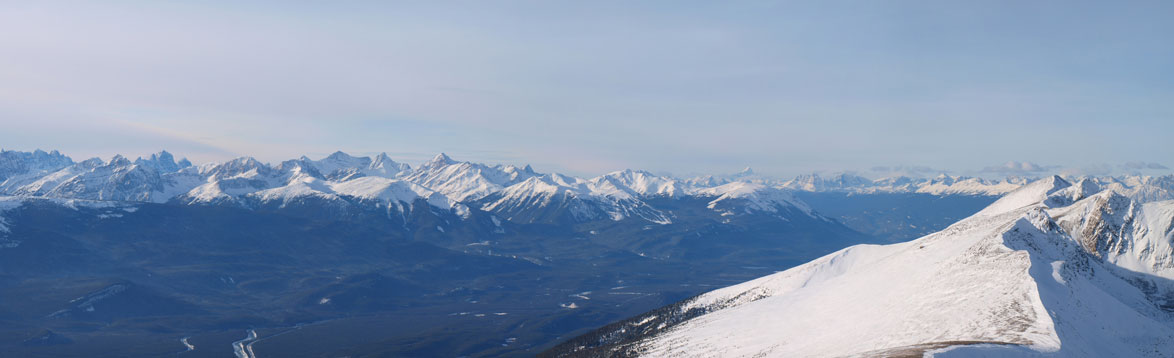
Panorama of the Skyline area. You can see Curator, Center, Excelsior and Watchtower on the skyline

Front range peaks, mostly unnamed
Opal Peak right of center.

Charlton/Unwin on the far left. Most of the other peaks are unnamed

Edith Cavell with Whirlpool River on its left side
Part of the Ramparts and Trident Range. You can also see the Marmot ski area
Telephoto of Mount Robson
The Watchtower

Mount Fryatt

Mount Edith Cavell

Me on the summit (my 100th in this year)
The higher summit immediately to our south is unofficially named “Trowel Peak” on bivouac. Unfortunately we wouldn’t have the time to bag it on this day. Well, it wasn’t on our schedule anyway. Judging by the views we got, I’m sure I’ll be back to ascend Trowel someday. It’s the highest in this group and supposed to offer even better views. After a short summit stay, we started the descent…
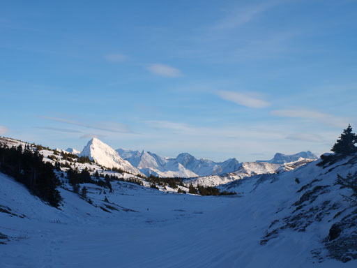
Looking over Little Shovel Pass.

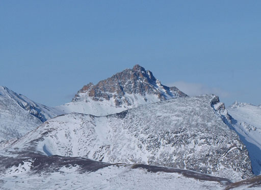
Looking back at Aberhart

Panorama from just before re-ascending back to the pass
Samson Peak seen from Little Shovel Pass
Back into the trees. Still a long way back.
Once we bailed the ridge, the fun part was done and what’s left was a long SLOG back.. Firstly we had to re-ascend back to Little Shovel Pass, and then follow our tracks a long ways back to the parking lot. There wasn’t much to describe except for mental and physical perseverance. Having an iPod here certainly helped (a couple hours’ musics, then done).. Our round trip time was 11 hours (on full force).
