Mount Graham
March 20, 2023
3267m
Safford, AZ
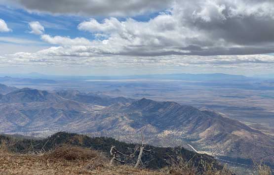
The “sky island” of Mt. Graham is the most prominent peak in the entire state of Arizona. The prominence is however the main, if not the only attraction as the ascent is rather boring and lame. The summit is forested with no view, and the route is mostly done by plodding on a gated service road. The road extends all the way to the summit but determined peak-baggers can do short-cuts here and there through fields of pick-up-sticks. In any case this isn’t an exciting objective whatsoever but I’m with most peak-baggers here that I needed this peak for the sole reason of the prominence stats. In summer months one could drive higher but in winter and early spring before April 15, one has to start at the closure point on Swift Trail, not far from Shannon Campground at 2800 m elevation.
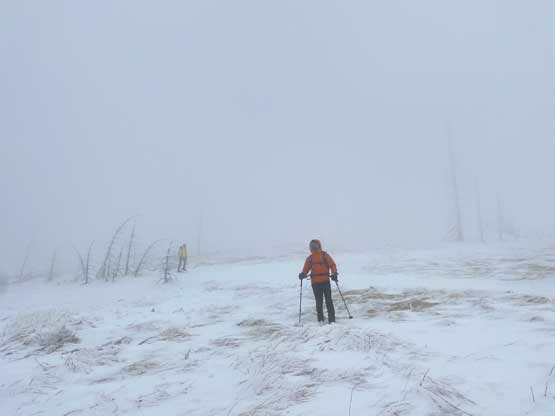
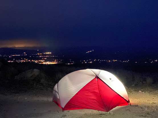
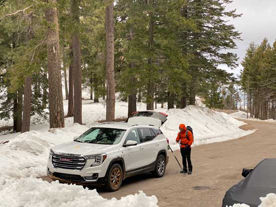
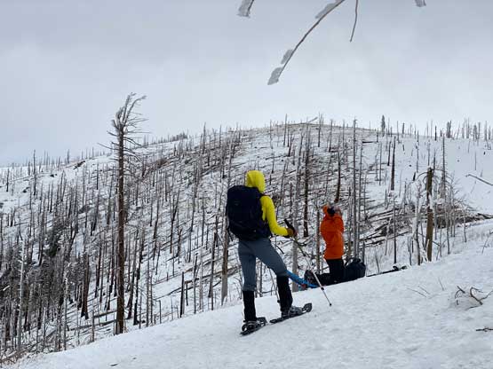
This was the 3rd objective that Nikita, Raphael and I did in this trip. In the previous two days we scrambled Newman Peak and plodded up Miller Peak. We opted to randomly camp on the lower flanks of Mt. Graham as we couldn’t find a better campground that still had space. The random parking lot we found turned out to be excellent so we snagged a good night of sleep for free. The next morning we drove the winding road (known as Swift Trail) to the winter closure gate. The temperature was cold and the wind was already howling even at the parking lot. The forecast was calling for 100% overcast with wind gusts over 70 km/h so we brought everything to stay warm – winter parka, balaclava, ski goggles. We also brought snowshoes as the route was still entirely covered in snow.


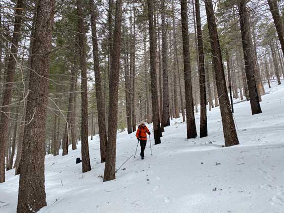
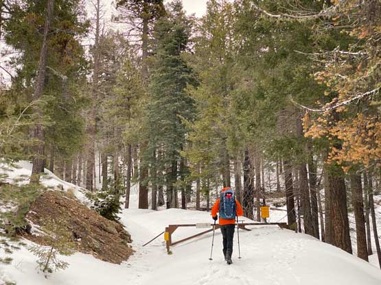
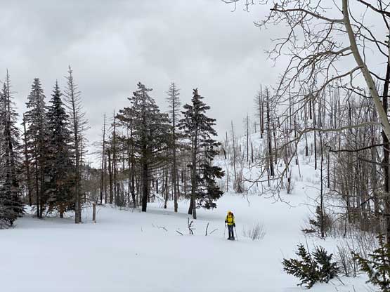
Not far from the parking lot we opted to follow Matt Juhasz’s recent GPX track short-cutting a major switchback, and that proved to be a quick way to dispatch distance with minimal bushwhacking. After regaining the service road we plodded northwards for a few kilometers before calling to don snowshoes. The morning crust was mostly able to support our weight but the snowshoes definitely made things easier. We didn’t bother to take more short-cuts until next to Plain View Peak not far from the actual summit. Instead of taking the road towards Graham/Hawk saddle we ascended onto the south ridge aiming straight towards the summit. The weather had deteriorated and we were now inside a ping pong ball balancing against the gusty winds. The balaclava and ski goggles were donned although Nikita opted to just tough it through as she didn’t bring those gears. Raphael and I also removed our snowshoes as the ridge was mostly scoured by the winds. There were lots of dead-falls but I wouldn’t say the bushwhacking was too overly annoying, at least not for us from the west coast of British Columbia.


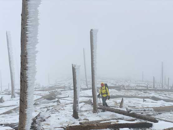
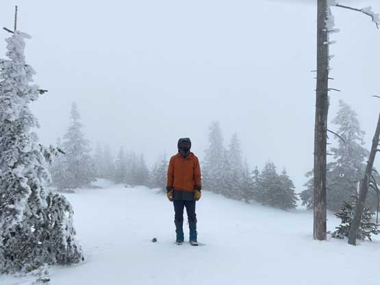


As mentioned above the summit was forested with no view whatsoever, so we took a break for food and immediately descended. We mostly followed our own tracks back down the broad south ridge. At places the tracks were already eliminated by the winds so I checked GPS multiple times to make sure we stayed oriented in the white-outs. We also didn’t bother to tag Hawk Peak nor Plain View Peak due to the weather, and instead we went straight down to the parking lot. Nikita as usual, ran ahead but Raphael and I beat her in the end as we took the same short-cut that we did earlier in the morning. Nikita somehow decided to follow the winding roads and added over a kilometer of extra distance. After finishing the unpleasant ascent the three of us drove down the Swift Trail and then southwards into the small town of Willcox. We found a cheap place for shower, swimming pool, hot tub and gym for only 10 dollars per person, did our evening restaurant/grocery routine and eventually went for another free campground for the night.