“Cougar Ridge” [Squamish, BC]
June 18, 2026
240m
Squamish, BC
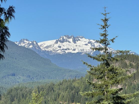
“Cougar Ridge” is one of those pimples in the vicinity of Squamish that boasts exactly 100 m prominence to qualify as an independent summit. This “peak” is not far from “Mt. Crumpit” that I did 10 years ago. The plan was to take Clair and Cheesecake the Siberian cat out for a trip and given that we had a family lunch scheduled our options were limited. I also needed a P100m objective that I hadn’t done so after browsing the maps back and forth we decided to go towards Squamish. There are a bunch of P100m pimples and I chose “Cougar Ridge” for the lack of bushwhacking.
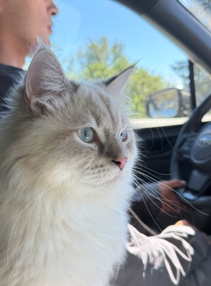
The crux was the traffic while driving from Surrey to UBC and then to Squamish. Honestly it wasn’t as bad as I thought but we spent well over 2 hours on the road. This unfortunately happened to be a day when Vancouver was hosting a World Cup match and Canada happened to win 6-0. That explained the traffics. Cheesecase was behaving better than expected since we gave him the entire back of the vehicle to free roam, and he didn’t complain too much. For some reasons I thought this was a “freebie” objective but at the last minute I realized it might be longer than I thought. For some reasons the most recent GPX tracks (on peakbagger.com) all went from Smoke Bluffs so I assumed the shortest access from south is on private streets. I also didn’t mind to do some extra distances.
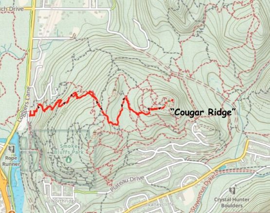
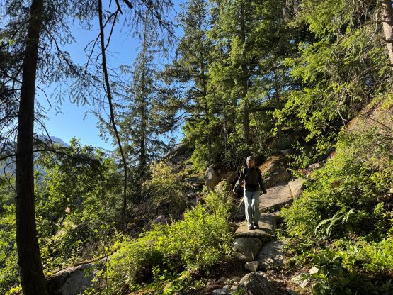
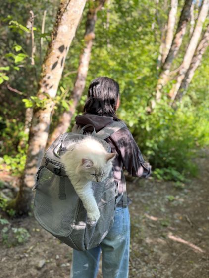
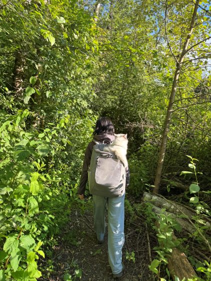
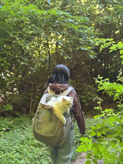
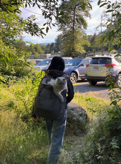
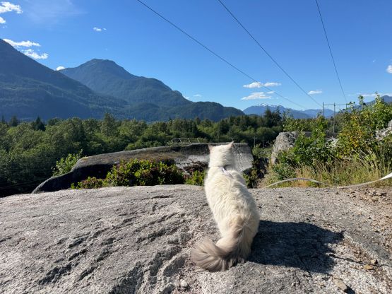
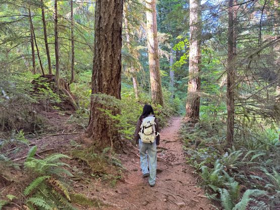
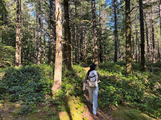
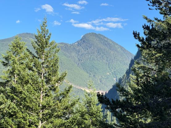
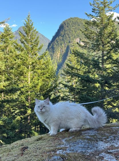
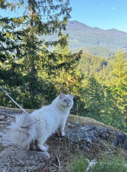
The original plan was for Clair to carry Cheesecake in the specialized cat-carrying bag but then she got uncomfortable when the trail became rough. This is not a wheelchair accessible trail after all. I took over Cheesecake and Clair took my bag which was slightly lighter, and this seemed to be working out fine. There are literally a maze of trails and it’s impossible to navigate without checking the GPS multiple times. I didn’t end up following Matt’s route but mostly stuck close to the vicinity, and I was mostly aiming for the path of the least resistance. The route went up and over a broad forested saddle before dropping ~30 m elevation. The final ascent to the summit of “Cougar Ridge” was quite steep but there’s a nice viewpoint slightly past the summit. The mosquitoes were unfortunately out so we couldn’t stay too long up there. We did let Cheesecake out and he seemed to like chasing the flies…
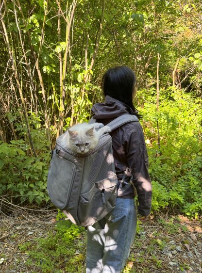
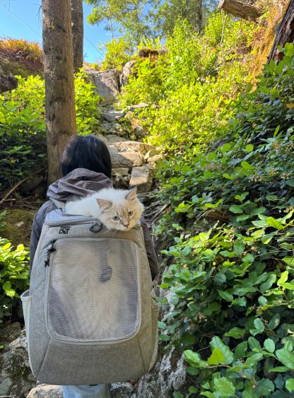
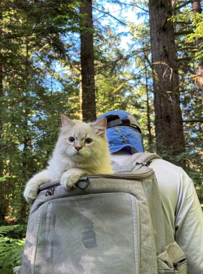
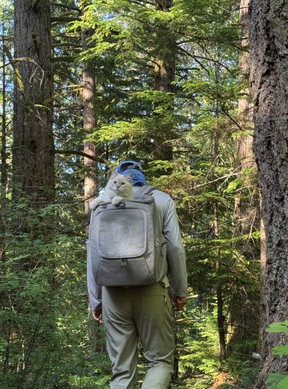
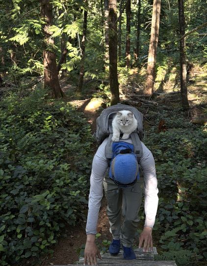
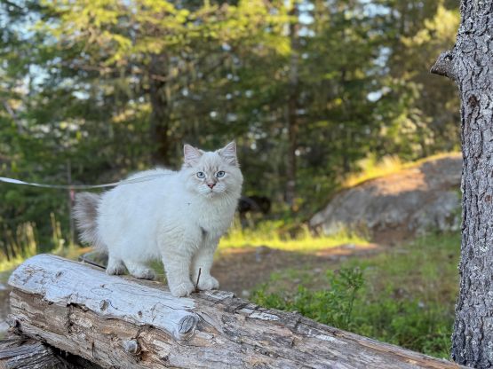
We had tried to let Cheesecake walk in his own but he had no sense of direction and he refused to follow us, so we had to carry him in the bag for pretty much the entire trip, which was fine. The descent was uneventful but overall this hike was longer than I thought. Our round trip time was over 2 hours. We then had dinner in Squamish before driving back to UBC to conclude the day.