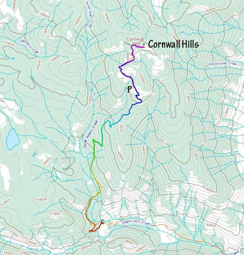
Cornwall Hills
June 29, 2021
2037m
Ashcroft / Cache Creek, BC
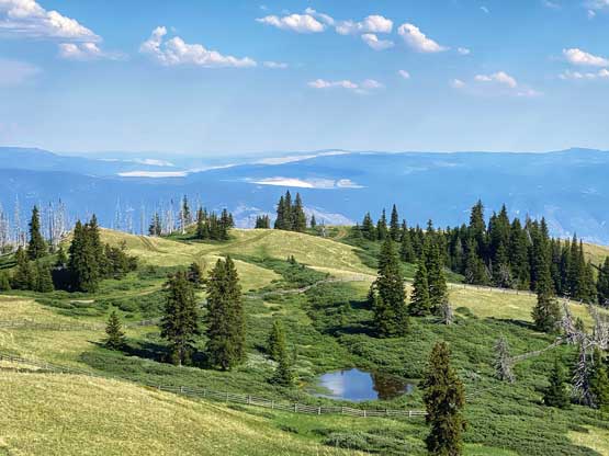
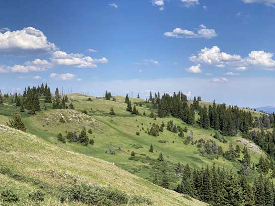
Cornwall Hills is a rather tall summit and the highest point of a broad section of Clear Range immediately to the SW of Cache Creek and to the SE of Marble Canyon. There’s a service road that goes all the way to the very top where a fire lookout is located, but to drive this one a high clearance, 4×4 vehicle is an absolute must. The upper hills offer cool alpine meadows scenery and a (hopeful) escape from the heat as it rises more than one vertical mile above the semi-arid Thompson River valley.
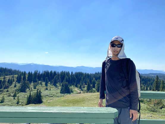
I did this peak as the last objective of my solo Kamloops-based peak-bagging trip. This was during the apocalyptic heat dome that the valley temperatures had gone above 45 degrees and the alpine temperatures were also approaching 40 degrees. I planned my objectives such that I could drive most of the way up and hike (if I wanted to) the last 2 km or so to the summit. Cornwall Hills was the nicest objective in this trip so I did want to hike a little bit despite that I was planning to hit the summit at around 4 pm, the hottest time during a day.
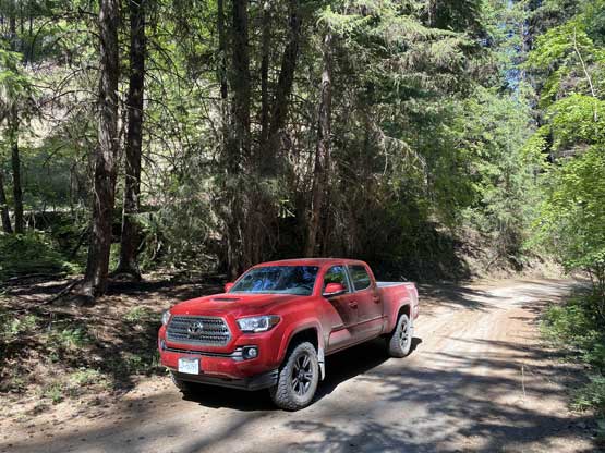
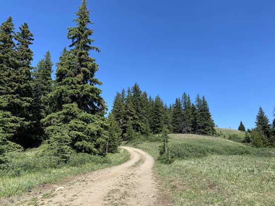
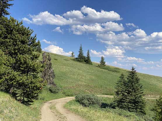
From Ashcroft I followed the direction given by Google up Hat Creek Road towards Oregon Jack Provincial Park passing a great variety of terrain. I started the drive from the dry, desert-like valley and ascended into decently dense forest. I stopped a few times for photos. I then turned onto the narrow and rough Cornwall Hills FSR that would eventually lead me to the summit. I pushed my Tacoma all the way to above treeline and parked after a few sketchy switchbacks on slanted ground and that left the remaining 2.5 km to be walked (which I did not mind). There’s one park ranger’s vehicle driving down while I was going up, and passing each other proved to be a little bit interesting to say the least. I was very happy that nobody else was up on the hills as this is not a road that you want to have too much traffic on.


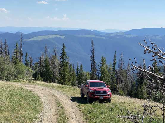
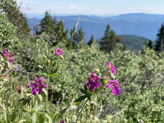
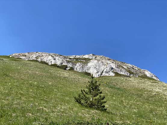
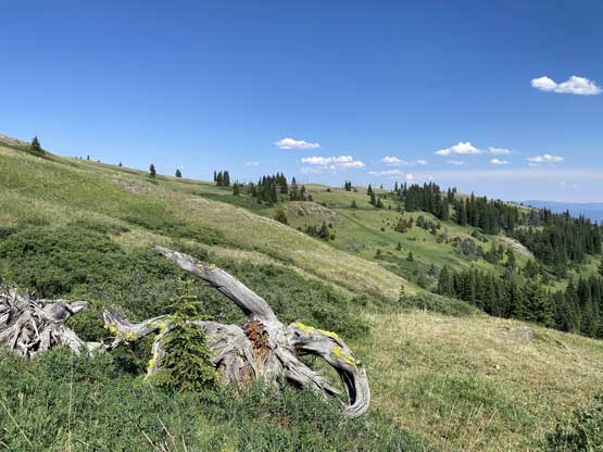
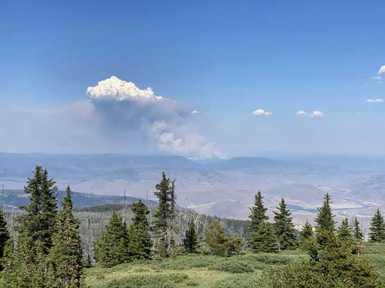
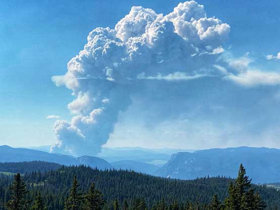
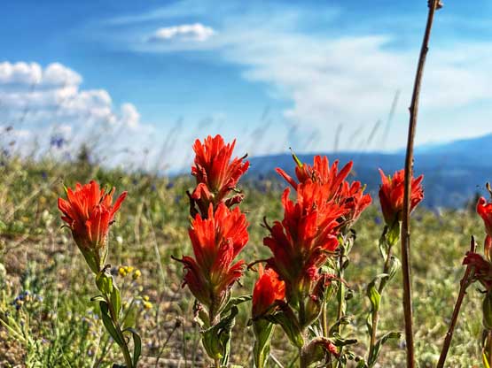
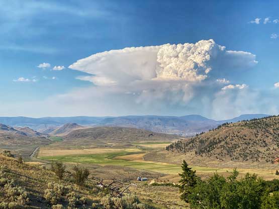
The temperature was about 38 degrees when I started the hike so I wetted my hat and my shirt and carried a shit ton of water even though this was a very short one. As expected I got some decent meadows views but the most exciting was to see a few large plumes of fire building to the north. I also went into the fire lookout itself. The register was cool to read but the bugs were horrendous inside the lookout or wherever there’s shades.


After having enough of the scenery I decided to leisurely walk down, then carefully made a turn around on grass and drove down. Thankfully I did not meet anybody driving up. It took me at least a good hour to navigate this rough road system back to the main highway and it’s already 6 pm at that point.


I directed my bearing towards Lytton because it wouldn’t be an “embracing the heat” trip unless I drove right into the hottest place in Canada. I got there at around 7 pm and the temperature was still well above 40 degrees. That was crazy. I did not bother to stop because there’s no restaurant. I decided to push to Hope to have a late dinner and I did get there about 2 hours later. I eventually got back home and went to bed before midnight.
