The Flatiron
November 18, 2018
1898m
Coquihalla Pass, BC
The Flatiron is a broad dome immediately to the south-west of Needle Peak easily accessible from Coquihalla Pass. There isn’t anything particularly appealing about it perhaps other than the far-reaching views on a clear day. Most peak-baggers opt to tag it together with Needle Peak in summer time but I’m one odd bagger who hasn’t even done Needle Peak yet. What I had been eyeing over the last several years was a long, undulating ridge traverse southwards to Portia Peak, and even better, to be done in winter on snowshoes. Despite what appears on the topographic maps the traverse is more complicated than one might expect. The crux would be the steep south-facing slope dropping off the south side of “Two Bears Ridge”. The steepest stretch is around 35-40 degrees requiring bomber avalanche conditions. Combining with the huge physical effort of this outing it’s no wonder why the trigger hadn’t been pulled yet.
This November had been unusual with several large blocks of high-pressure systems dominating the weather pattern and this past weekend wasn’t an exception. Another 4-day window showed up but and unfortunately again I was stuck in work for pretty much the whole period. I pushed really hard to get Sunday out of the way. It wasn’t easy to come up with a suitable objective that’s neither “too hard” or “too easy” given the conditions. Eventually after flipping back and forth among several options I settled on Portia Peak to kick start the snowshoe season. I messaged several friends and only Vlad was keen to join. It’s not going to be a short day, so we left Vancouver at around 6 am.
Flatiron – Portia Peak traverse. GPX DL
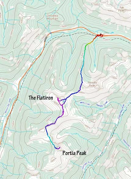
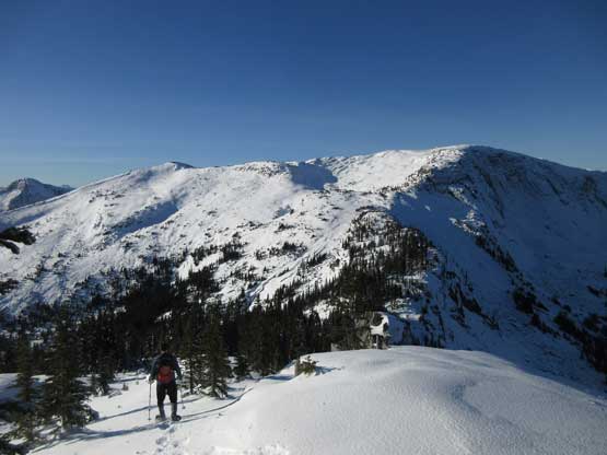
In about 2 hours we had parked at Zopkios Rest Area on the north side of the highway and the first business was finding the Needle Ridge trail-head on the south side, which was interestingly not very close to where we parked… The trail itself was well marked but icy enough to warrant some caution. Another hour later we had crested the forested “Needle Ridge” and it’s there that the icy and frozen mud finally transitioned into continuous snow. Thank to the foot traffic on this trail we did not need snowshoes until very much close to the first highpoint of the day – the west shoulder of Needle Peak. Unfortunately all previous traffic stopped there so we were on our own breaking trail down to Needle/Flatiron col. There’s about 50 m of elevation drop and the condition was not the most ideal. There’s a thick layer of freeze-thaw crust that had about 20% chance of breaking upon stepping on.
Vlad hiking up the lower Needle Ridge trail
Partway up Needle Ridge, looking back at Yak Peak
The north face of Needle Peak
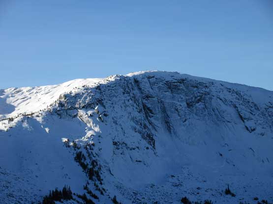
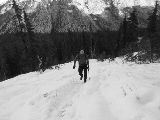
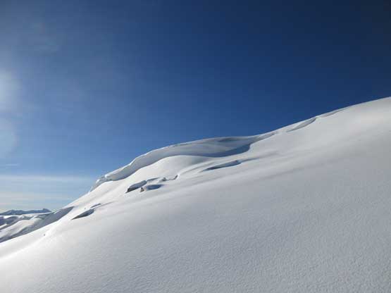
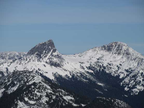
The Flatiron does have a very steep north face…
A closer look at Yak Peak’s south face
Nearing the first highpoint, finally into the sunshine

Vlad snowshoeing to the highpoint on Needle’s west shoulder
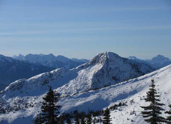
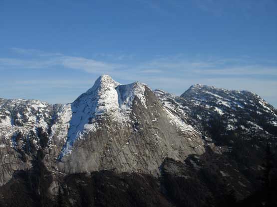
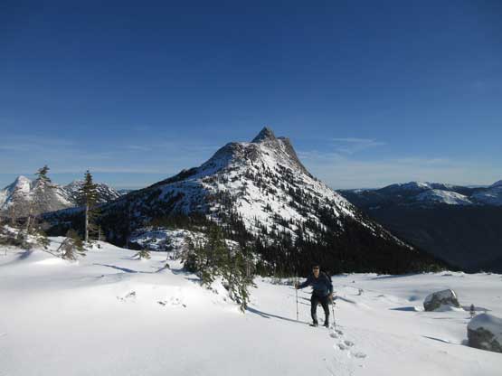
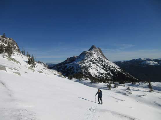
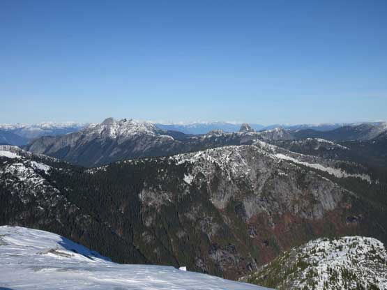
From the shoulder we got our first glimpse of Portia Peak…
Snowshoeing down into Flatiron/Needle saddle
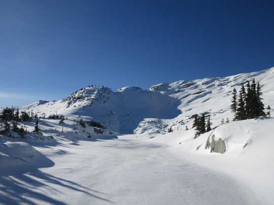
From the Needle/Flatiron saddle we followed the connecting ridge up the NE Ridge of The Flatiron until underneath an imposing rock buttress. The vertical step would require technical mixed climbing so we traversed leftward into a broad cirque above a small, frozen tarn. From there it’s just a matter of putting one foot in front of another snowshoeing straight up to the flat summit with a green missile tower.. The crust was very supportive on this aspect making some fast travel. We explored the summit dome for a while in order to soak in all views.

Almost down at the saddle, looking at the NE Ridge of The Flatiron
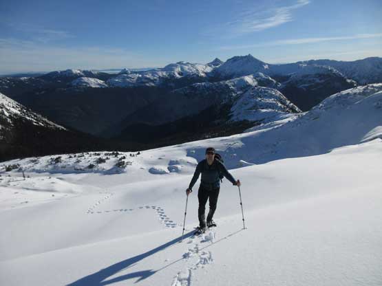
Vlad snowshoeing back into the alpine, with Needle Peak behind
Arriving at that small frozen tarn
Continuing upwards into the bowl/cirque. Needle Peak behind
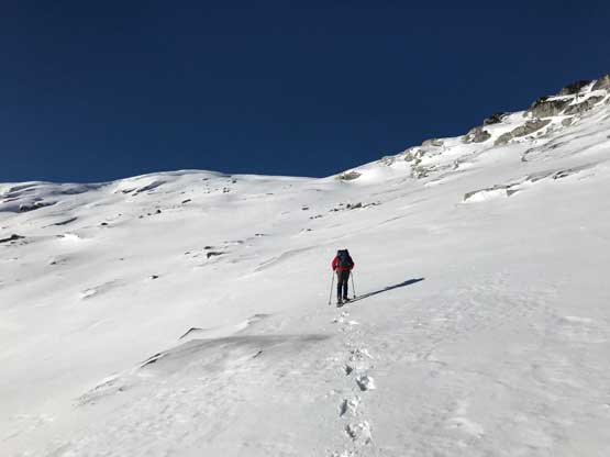
Me breaking trail up the foreshortened slope. Photo by Vlad M.
Would be prime ski terrain on the east slopes of The Flatiron.
Almost there… Coquihalla Mtn. behind
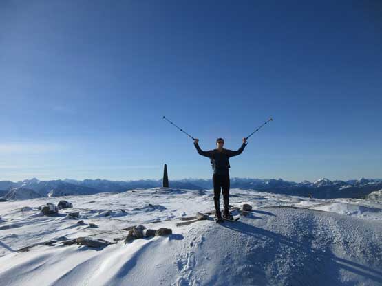
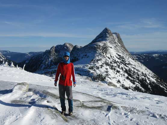
Vlad on the summit of The Flatiron
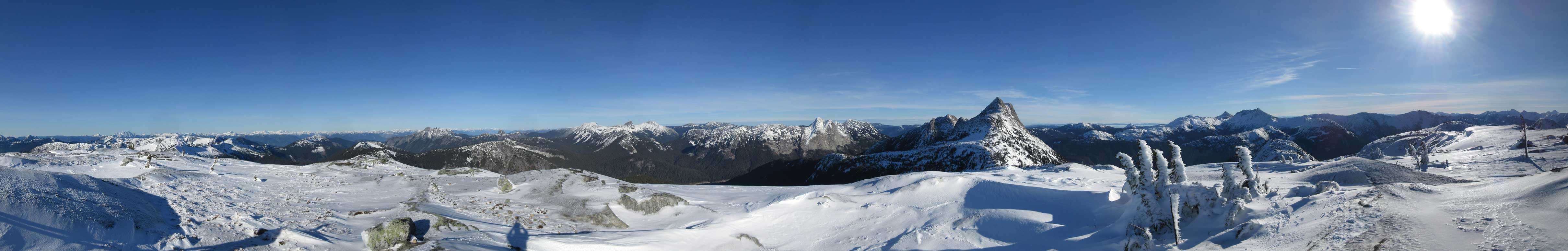
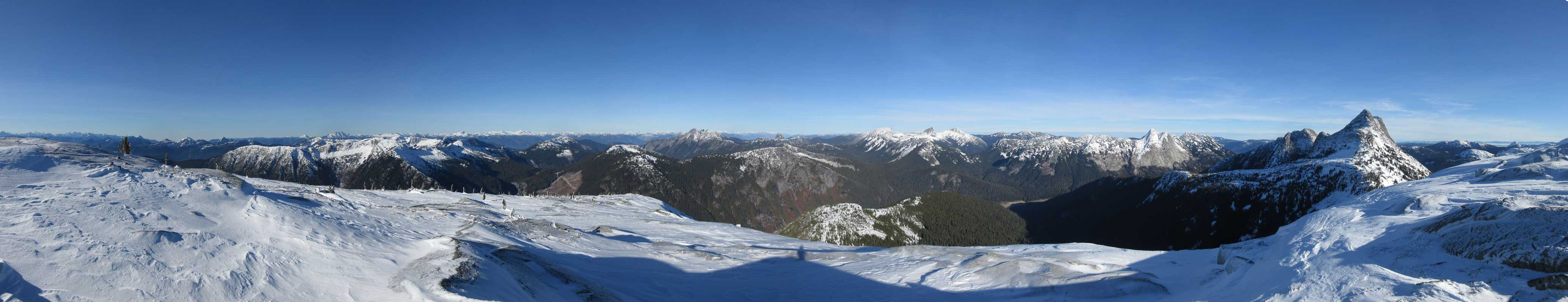
Summit Panorama from The Flatiron. Click to view large size.

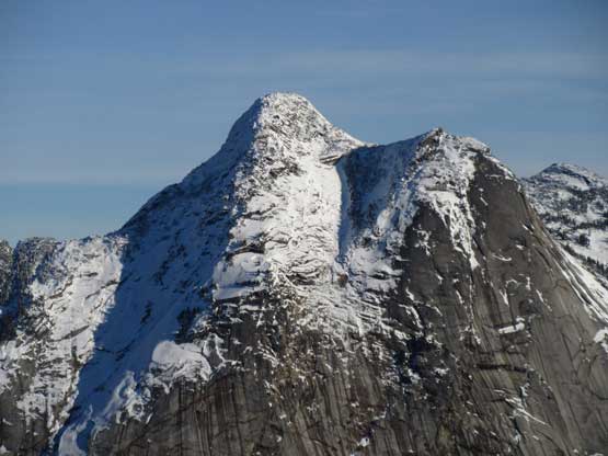
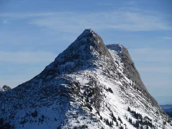
Needle Peak
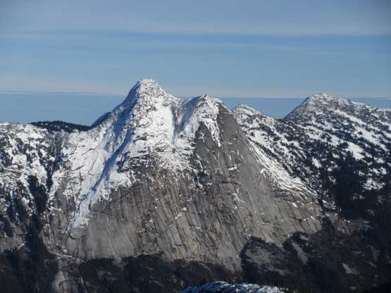
A closer look at Needle Peak and its west ridge (standard route)
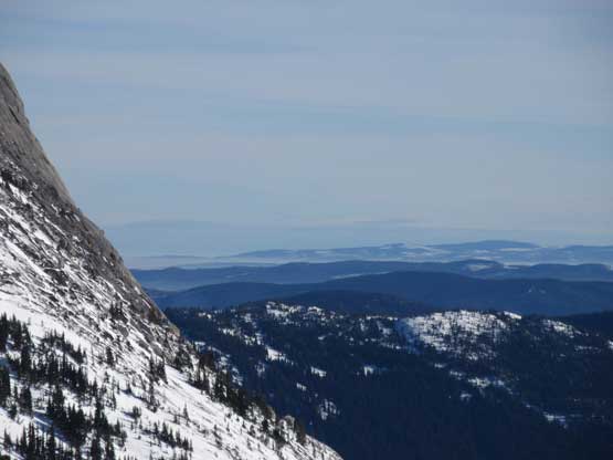
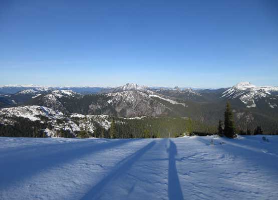
This is a zoomed-in shot towards the interior plateau
The south face of Yak Peak
Vicuna Peak and Guanaco Peak
Gemse Peak and Reh Peak with Stein Mountain behind on the skyline
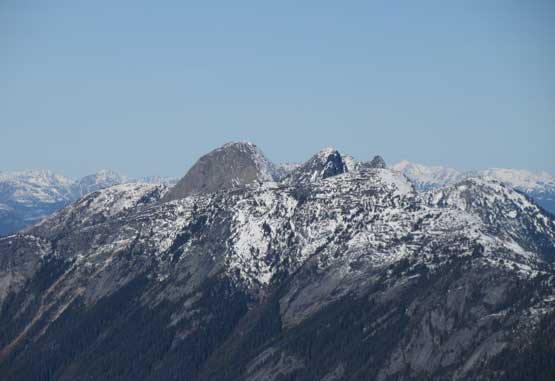
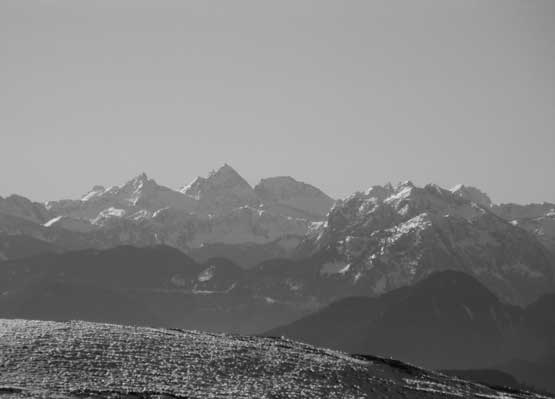
Ibex/Steinbox/Gamuza Group
This is a wider view, with Great Bear Peak in the foreground
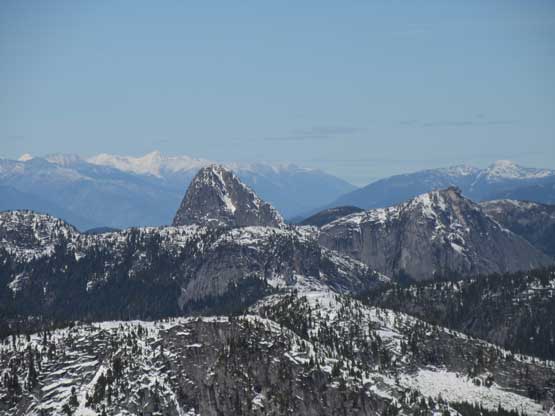
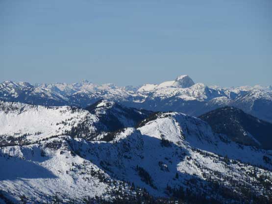
A zoomed-in shot towards The Old Settler
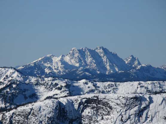
Mt. Urquhart dominating the skyline
Welch Peak is the highest peak in Cheam Range

Mt. Baker dominating the southern skyline

The many summits of Squeah Mountain
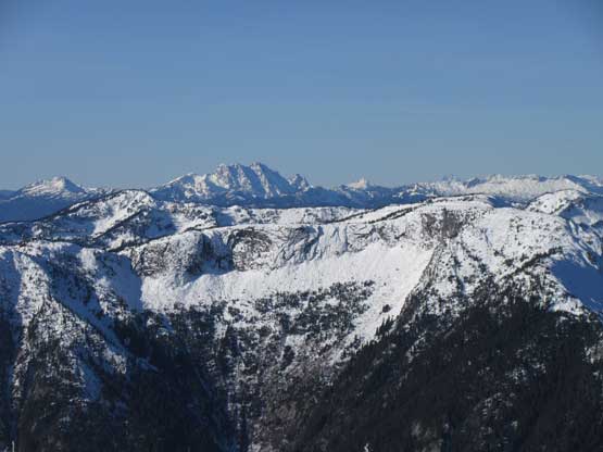
Another look towards The Old Settler, over the plateau of Bombtram/Ladner
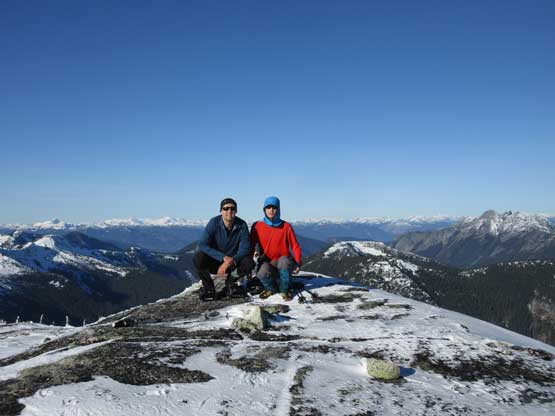
Vlad and I on the summit of The Flatiron
Me on the summit of The Flatiron
Another panorama from the summit of The Flatiron. Click to view large size.
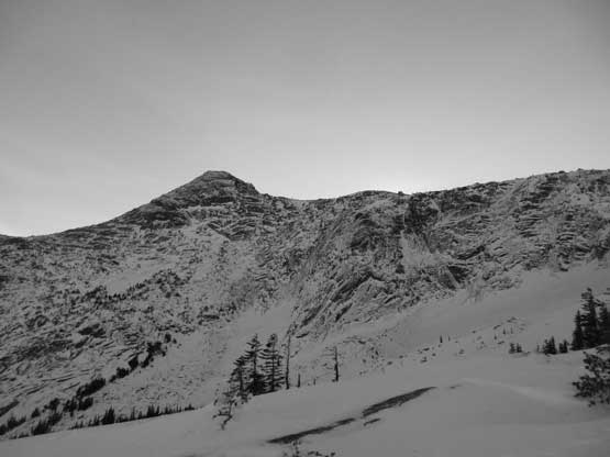
We didn’t linger too long on the summit of The Flatiron because the mission of this day had just started. Looking south we could see Portia Peak depressingly far away and ironically, lower in elevation then where we were standing on… The north slopes of Portia Peak also appears steep and bluffy… But let’s face it, so off we went…
